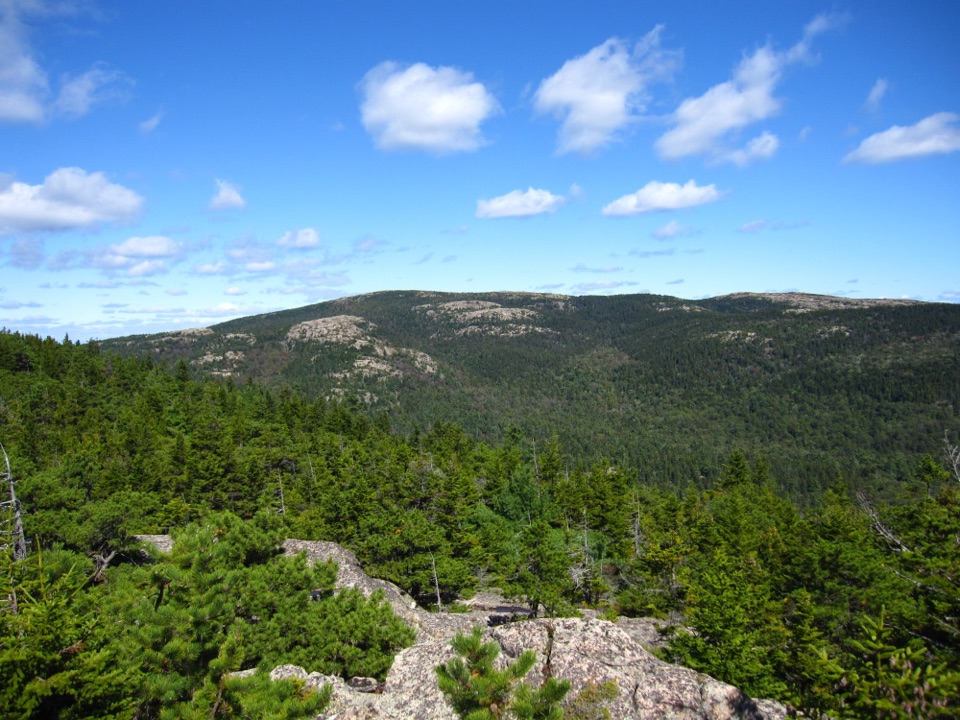
Bald Peak and Parkman Mountain Loop in Acadia National Park

Acadia National Park, ME

Bald Peak and Parkman Mountain Loop

A steep granite loop to two peaks with ocean views.

Photo: Wikimedia Commons
Length
2.7mi
Time
2hr
Elev. change
697ft
Difficulty
Challenging
  • Loop
  • Dogs allowed
  • High point 937 ft
  • #43 of 142 in Acadia

Hear the audio tour

Norumbega Access to Bald Peak

Overview

About Bald Peak and Parkman Mountain Loop

Why go

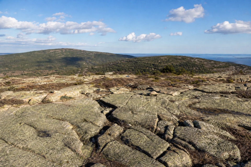
  • Two summits and changing pond, island and ocean views in a short circuit.

Heads up

  • Exposed rock gets slippery when wet; two steep ledges include an iron rung.

Map & elevation

The route

Loading the Acadia map
Full map
Elevation240–937 ft
TrailheadSargent Mountain Trailhead44.32593, -68.29145
Keep this map with you offline in the Parkwolf app

Plan your hike

Before you go

Parking

Park at the unmarked Norumbega pullout on ME Route 198, just past the Parkman Mountain parking lot; Sargent Mountain Trailhead is across the road. The Island Explorer serves Parkman Mountain seasonally; check current schedules and follow Hadlock Pond Carriage Road to the Bald Peak junction.


Safety

Steep, exposed granite and two ledges make wet conditions hazardous; one ledge has an iron rung. Dogs are allowed only on a leash no longer than six feet, and the park does not recommend them on this route. An Acadia entrance pass is required.

4 active Acadia alerts

  • CautionAvoid water contact at Sand Beach LagoonDo not swim at Sand Beach Lagoon. - Bacterial levels have exceeded public-health standards, so the NPS has posted a Public Health Advisory.Official details
  • ClosureSchoodic Mountain Road closed for repairsSchoodic Mountain Road is closed from Schoodic Loop Road to the summit of Schoodic Head. - The closure began August 31 for resurfacing, regrading, and ditching.Official details
See all 4 alerts
A park ranger sits on a dash-mounted phone, talking, as Parkwolf’s Tour Guide plays “Army Cutworm Moths: A Grizzly Bear Buffet” on Grand Loop Road below Dunraven Pass in Yellowstone
Parkwolf Tour GuideThe highest, rockiest slopes around here are a summer buffet for grizzly bears.

Acadia Tour Guide

Your drive to Bald Peak and Parkman Mountain Loop, narrated.

Parkwolf is a GPS audio tour guide for Acadia National Park. As you drive, it chimes in with what’s ahead: hidden gems, upcoming stops, history, geology, and wildlife, right through your car’s speakers.

Recorded for this trailhead

Norumbega Access to Bald Peak
0:00 / 0:25
“You're nearing the Norumbega roadside trail access, where I'd choose the Bald Peak and Parkman Mountain loop for two open summits.”

Plays as you drive up to this trailhead in the Parkwolf Acadia Tour Guide.

More stories near here in the app

  • Parkman Access to the Carriage Roads
  • The Life on the Rocks
  • Brown Mountain Gatehouse and Its Bells
  • The Periwinkle's Toothed Tongue
  • 116 audio storiesacross Acadia’s roads, triggered by GPS as you drive
  • Wildlife heatmapsfor Bald Eagle, Peregrine Falcon, White-tailed Deer, and 13 more
  • Works offlinemaps, 142 trails, 72 places, and audio download before you lose signal
  • CarPlay readysimple controls built for the drive
★★★★★
“…As we drove through Acadia it gave us a tour, which was really cool. Lots of great info about the parks and how to avoid the crowds. It’s a great travel companion!”
MyMysteryChicaApp Store review
Download Parkwolf on the App StoreGet Parkwolf on Google Play

4.7 from 8,600+ ratings

Trail guide

Hiking Bald Peak and Parkman Mountain Loop

Two summits in a short loopBald Peak and Parkman Mountain Loop is a 2.

Bald Peak and Parkman Mountain Loop is a 2.7-mile circuit from Sargent Mountain Trailhead on ME Route 198. It climbs Bald Peak first, crosses to Parkman Mountain for a short summit spur, then descends through the forest to close the loop. Both summits rise above 900 feet, but the distance understates the effort: expect uneven footing, steep granite and a few places where you will use your hands. Plan 1–2 hours at an average pace, with extra time for the views or careful footing.

Start with Bald PeakFollow Hadlock Brook Trail to the Bald Peak junction, then climb beside a stream and cross two…

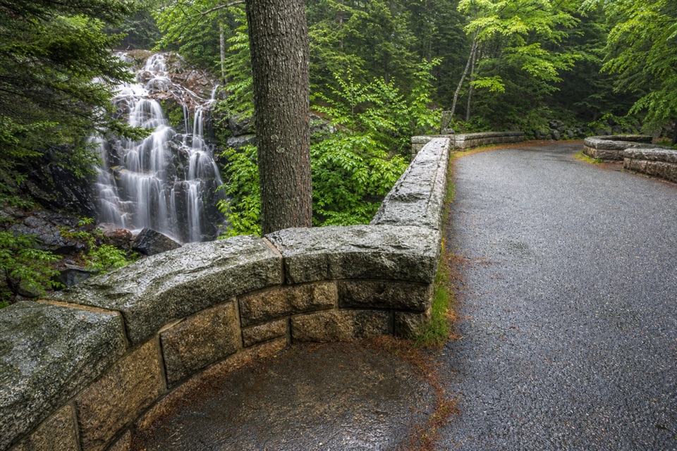
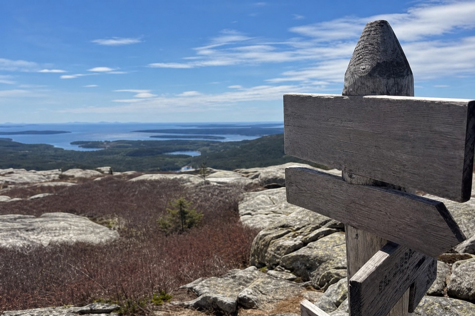
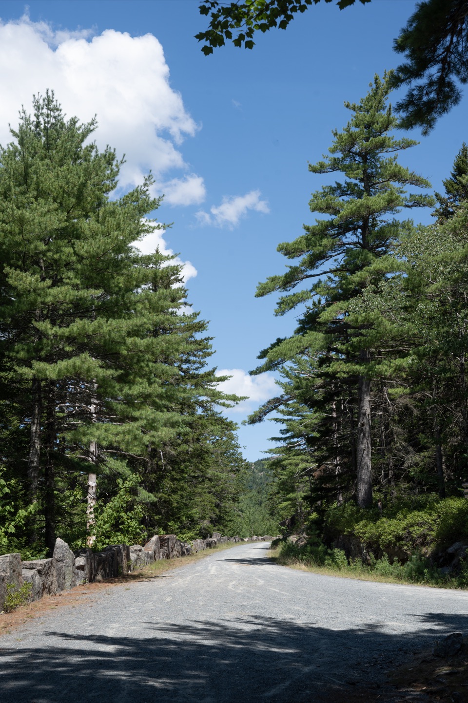
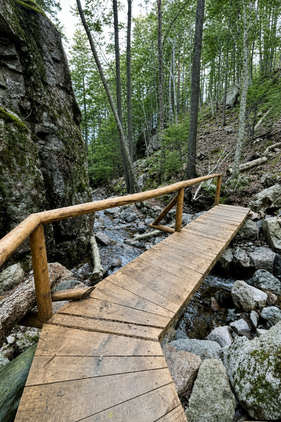
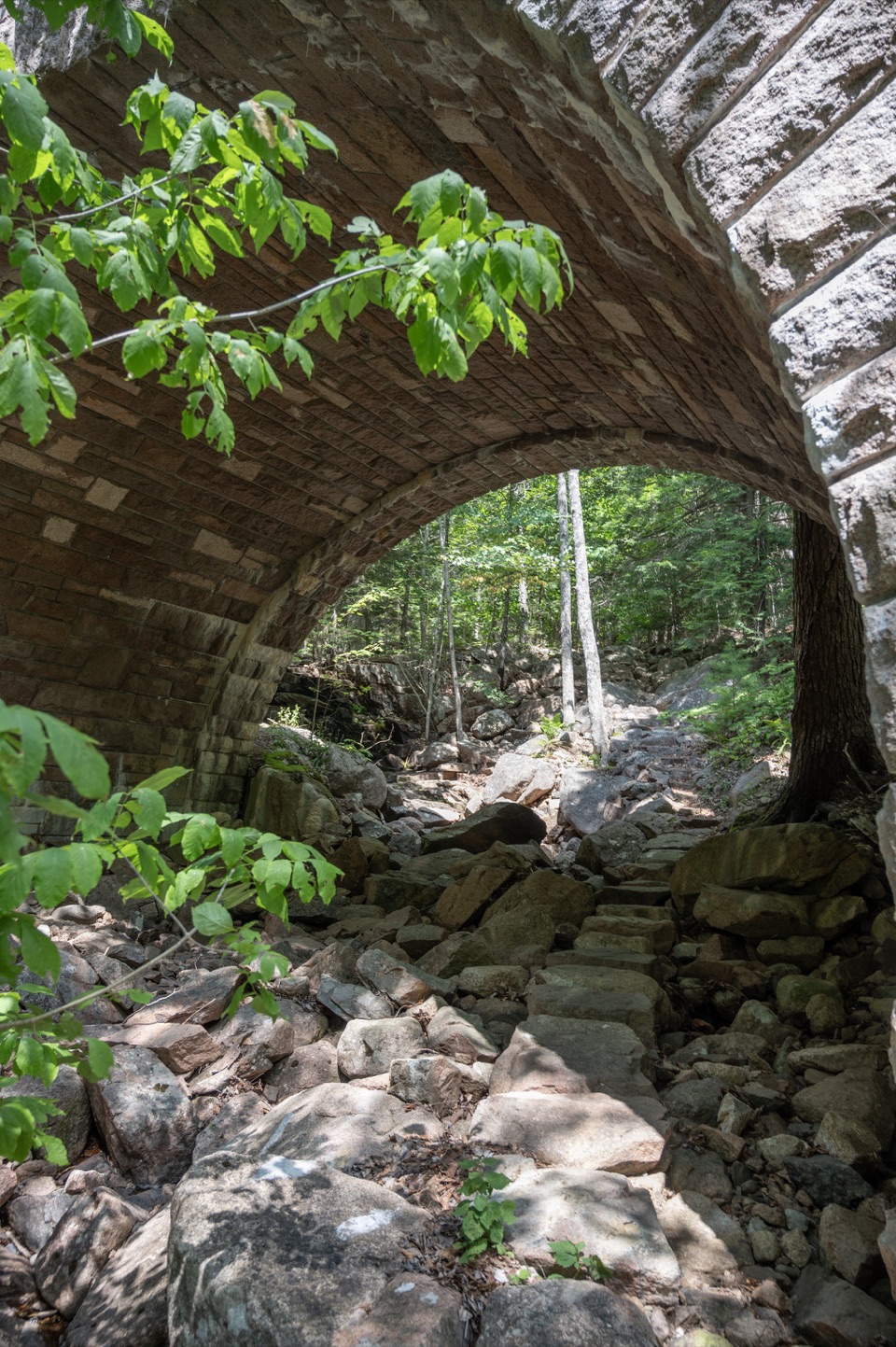
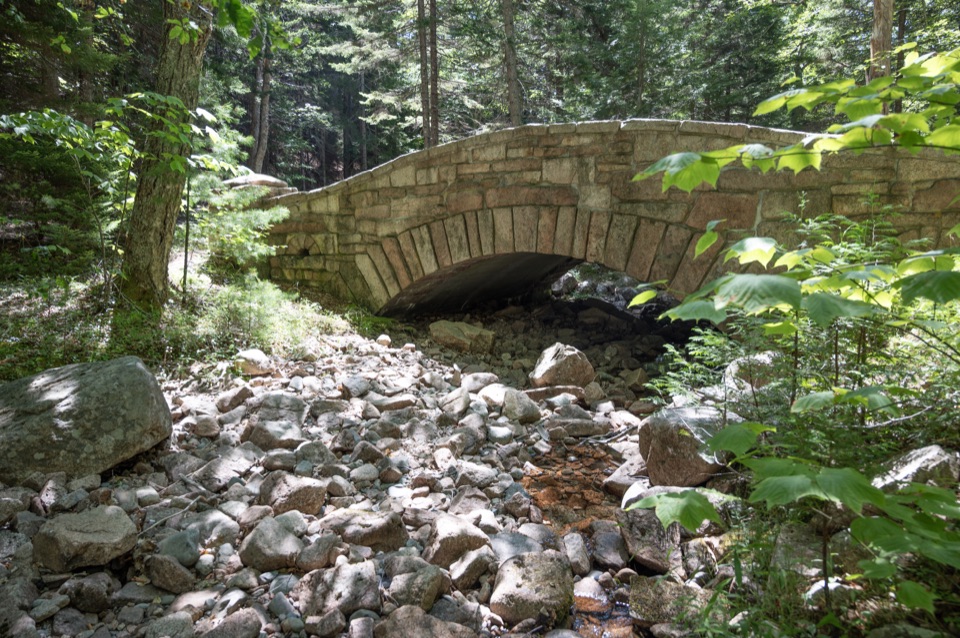
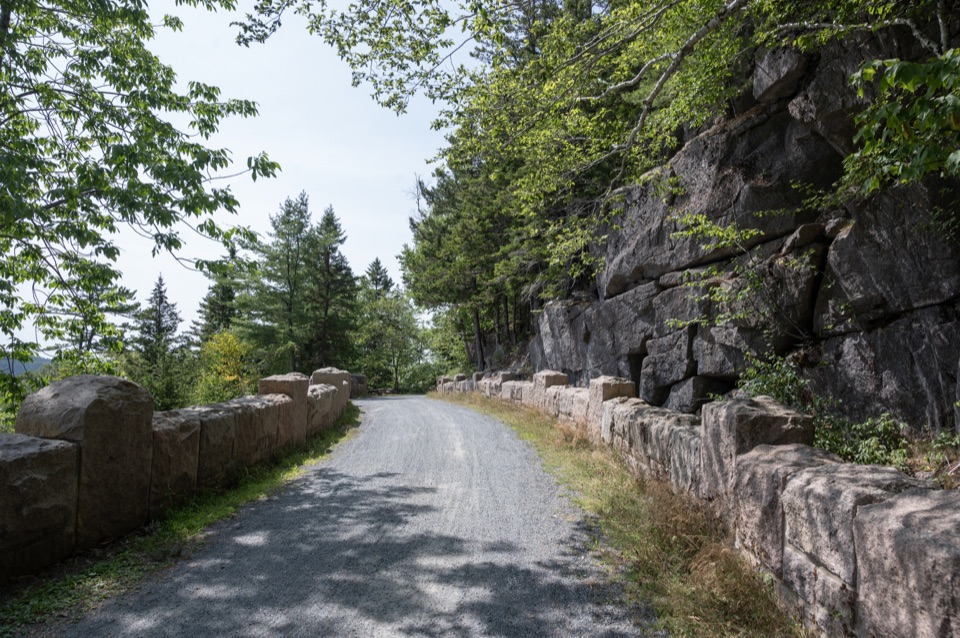
Follow Hadlock Brook Trail to the Bald Peak junction, then climb beside a stream and cross two carriage roads. Beyond the second crossing, the route gets much steeper and more exposed on open granite. Blue blazes and stone cairns mark the way. Start with this climb, as it is steeper than the western Parkman Mountain route. Pick a dry day; wet granite is slippery.

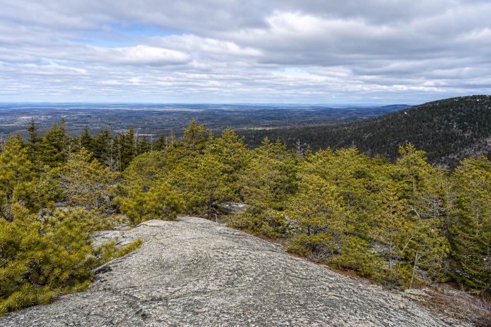
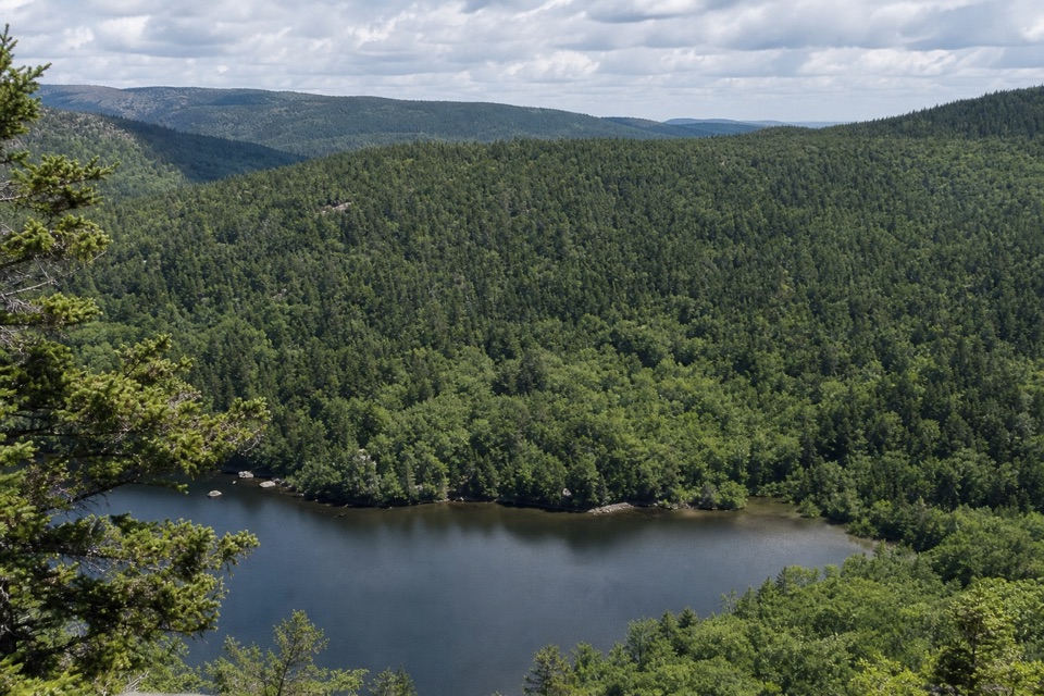
The two summitsBald Peak opens toward Upper Hadlock Pond and the islands beyond it.

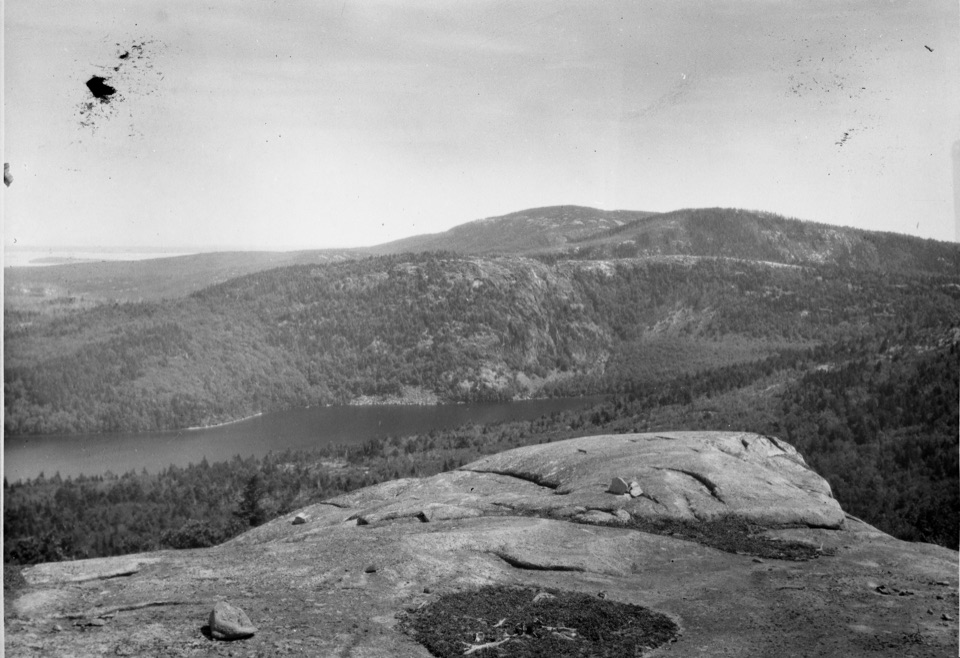
Bald Peak opens toward Upper Hadlock Pond and the islands beyond it. From there, descend the north side and climb to the Parkman Mountain junction. Turn right for about 0.1 mile to Parkman’s summit, then retrace to the junction. The two peaks also look toward Somes Sound and Northeast Harbor. At Bald Peak, include the pond and islands in your view; they make the summit feel different from a walk over bare rock.

A careful descentAfter the Parkman summit spur, continue south on Parkman Mountain Trail.

After the Parkman summit spur, continue south on Parkman Mountain Trail. The descent has two steep ledges, one with an iron rung, before it crosses carriage roads and returns to the starting access. The footing is difficult when wet, and the route is not accessible. Dogs are allowed on a leash no longer than six feet, but the park does not recommend bringing them because of the ledges and rung.

Getting to the trailheadPark at the unmarked Norumbega pullout on ME Route 198, just past the Parkman Mountain parking…

Park at the unmarked Norumbega pullout on ME Route 198, just past the Parkman Mountain parking lot; Sargent Mountain Trailhead is across the road. A park entrance pass is required, but no reservation is needed. The Island Explorer serves Parkman Mountain seasonally; check its current schedule and follow Hadlock Pond Carriage Road to the Bald Peak junction. There is no accessible restroom at the trailhead.

Wildlife

Wildlife in Acadia

All Acadia wildlife maps

Sighting maps show where each species has been reported across Acadia. Wildlife moves, so no sighting is guaranteed.

Keep exploring

Near Bald Peak and Parkman Mountain Loop

See it all on the map

Trails that start nearby

Places near the trailhead

Parkwolf’s Acadia ranking

Top-rated trails in Acadia

All 142 trails
  1. 1Beehive Loop TrailChallenging · 1.4 mi
  2. 2Precipice TrailChallenging · 2.1 mi
  3. 3Jordan Pond PathModerate · 3.3 mi
  4. 4Bubbles TrailModerate · 1.5 mi
  5. 5Ocean PathEasy · 2.2 mi
  6. 6Cadillac Mountain South Ridge TrailChallenging · 7.8 mi

Take Parkwolf to Acadia.

The audio tour guide for the drive, plus offline maps, trails, and wildlife heatmaps for when the signal drops.

4.7 from 8,600+ ratings

Download Parkwolf on the App StoreGet Parkwolf on Google Play