Parking
Hunters Brook Trailhead is a small shoulder pullout on the one-way Park Loop Road, just after the Route 3 stone bridge (about four miles past Otter Point). The mapped route ends at a carriage road, so plan a connection or retrace the trail.
Acadia National Park, ME
Brook crossings to iron-pinned steps and a carriage-road finish.
Overview
Map & elevation
Plan your hike

The highest, rockiest slopes around here are a summer buffet for grizzly bears.
Acadia Tour Guide
Parkwolf is a GPS audio tour guide for Acadia National Park. As you drive, it chimes in with what’s ahead: hidden gems, upcoming stops, history, geology, and wildlife, right through your car’s speakers.
See the Acadia audio tourRecorded for this trailhead
Hunters Brook’s Woodland Through-Route“The road access for Hunters Brook Trail is coming up, for a woodland hike beside the brook and over cedar bridges.”
Plays as you drive up to this trailhead in the Parkwolf Acadia Tour Guide.
More stories near here in the app
“…As we drove through Acadia it gave us a tour, which was really cool. Lots of great info about the parks and how to avoid the crowds. It’s a great travel companion!”


Trail guide
Hunters Brook Trail is a 2.7-mile one-way route from Park Loop Road to a carriage-road connection. Allow about two hours to the far end; retracing the same path makes it roughly 5.4 miles. Some route descriptions instead follow an East Triad summit out-and-back from the same roadside start, a different hike commonly reported at about 3.7 to 3.8 miles round trip.
The first stretch follows Hunters Brook through dense woods, with several stream crossings and two cedar stringer bridges. Near an old bridge abutment, the trail leaves the brook and continues along a narrow woodland path and old roadbed. Look for iron-pinned stone steps and small retaining walls where it overlaps the memorial Van Santvoord Trail.
The start is a small shoulder pullout on the one-way Park Loop Road, just after the Route 3 stone bridge, about four miles past Otter Point. The far end is a carriage road, so arrange your connection or plan to walk back. Several crossings need careful steps from rock to rock. Dogs are allowed on most Acadia trails, on a leash no longer than six feet.
Wildlife
 131 sightingsBald EagleMost seen around noonSighting map
 21 sightingsPeregrine FalconMost seen around 10 AMSighting map
 403 sightingsWhite-tailed DeerMost seen around 7 PMSighting map
 307 sightingsPorcupineMost seen around 7 PMSighting map
 205 sightingsBeaverMost seen around 7 PMSighting map
 34 sightingsMinkMost seen around 7 PMSighting map
Sighting maps show where each species has been reported across Acadia. Wildlife moves, so no sighting is guaranteed.
Keep exploring
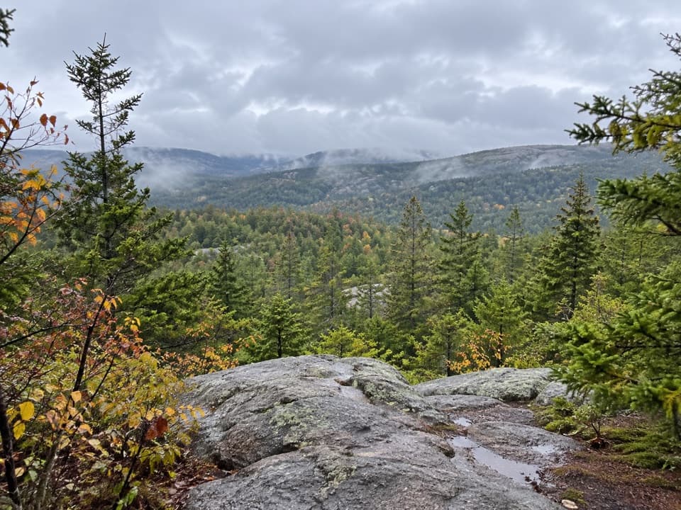
 ModerateTriad Trail1 mi · 1 hr · 0.4 mi awayGranite footing, a wooded summit, and a century-old trail marker.
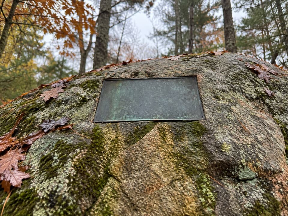 EasySeaside Path1.4 mi · 48 min · 0.6 mi awayA gentle woodland link beneath an old stone bridge.
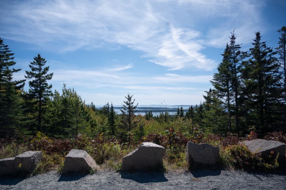 EasyDay Mountain Loop5.3 mi · 3 hr · 0.6 mi awayA 5.3-mile gravel circuit with a historic stone bridge.
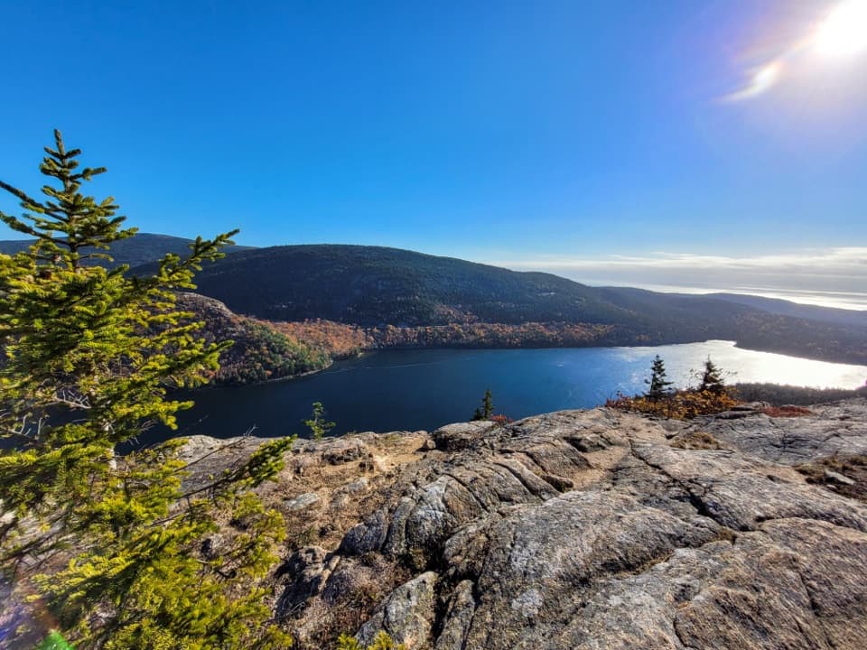 ChallengingPenobscot Mountain Trail3.8 mi · 3.5 hr · 0.7 mi awaySteep granite scrambling opens to pond and island views.
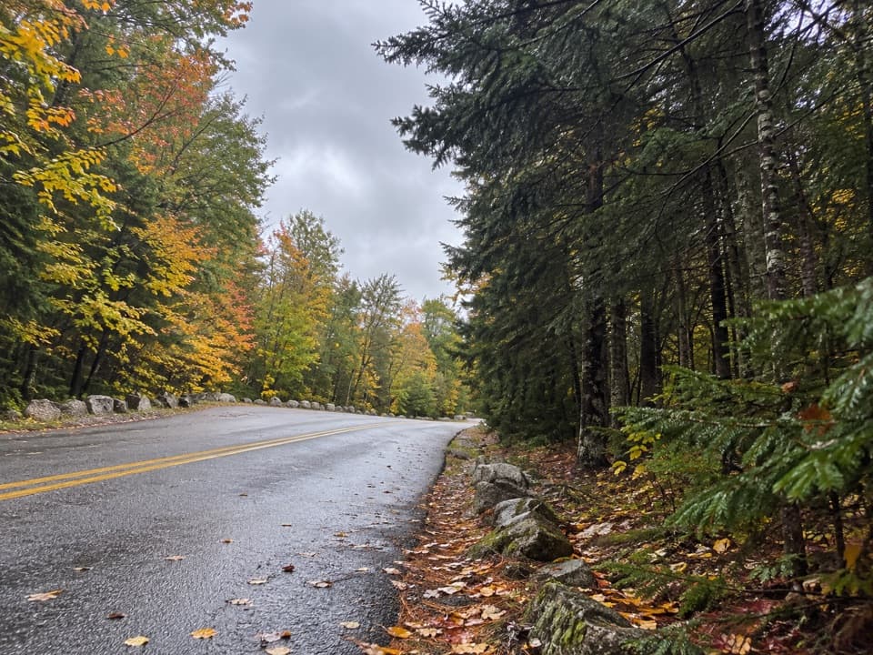 ModerateBubble & Jordan Ponds Path1.5 mi · 1 hr · 0.7 mi awayA wooded connector between Jordan Pond and Pemetic's lower trails.
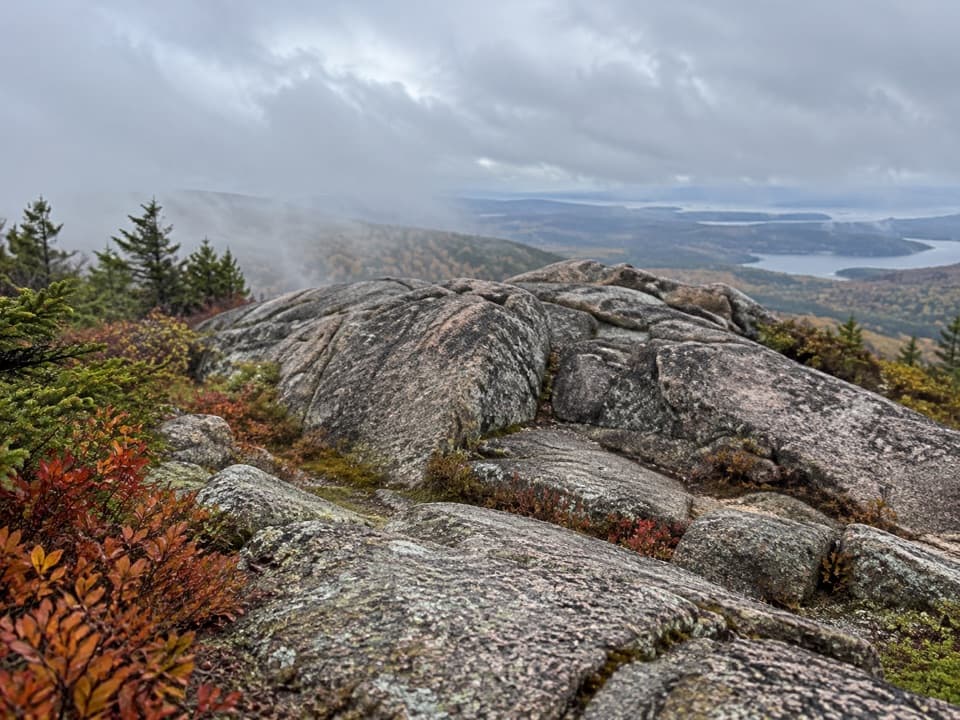 ModeratePemetic South Ridge Trail4 mi · 2.5 hr · 0.7 mi awayClimb rocky granite to Pemetic's open summit and coastal views.
 ChallengingPemetic East Cliff Trail0.4 mi · 30 min · 0.7 mi awayA short, steep boulder climb to Pemetic's south ridge.
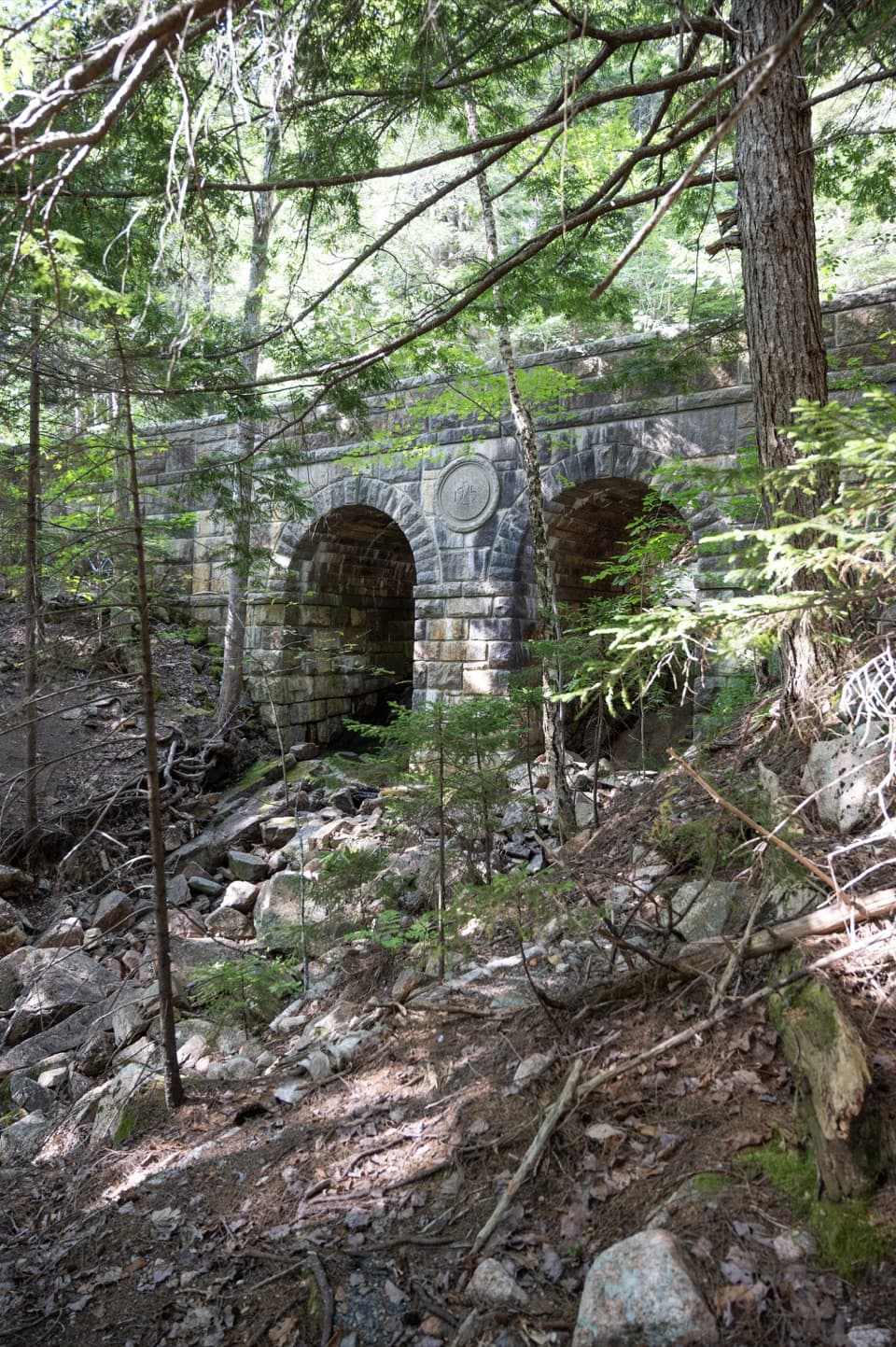 ModerateJordan Pond Carriage Road Loop8.6 mi · 4 hr · 0.7 mi awayFour historic bridges are the payoff on this long, rolling loop.
 Sight · 0.2 mi awayWildwood StablesHorse-drawn tours put Acadia’s carriage roads at a slower pace.
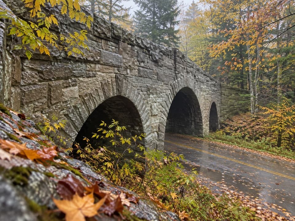 Sight · 0.4 mi awayJordan Pond Road BridgeA historic granite arch on Acadia's carriage roads.
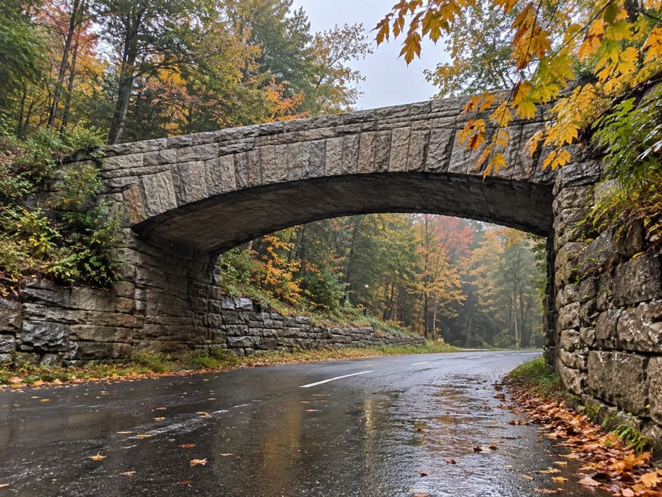 Sight · 0.4 mi awayTriad-Day Mountain BridgeA 1940 arch caps the final link in the carriage-road network.
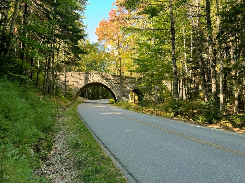 Sight · 0.5 mi awayStanley Brook BridgeA 1933 triple-arch bridge spans a road, brook and trail.
 Sight · 0.6 mi awayJordan Pond GatehouseA 1930s stone-and-timber gateway to the carriage roads.
 Restaurant · 0.7 mi awayJordan Pond HouseTea and popovers with Jordan Pond and The Bubbles in view
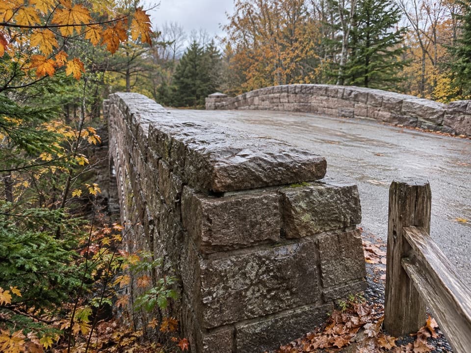 Sight · 0.8 mi awayJordan Pond Dam BridgeA raised 1920 crossing over the dam and toward the pond.
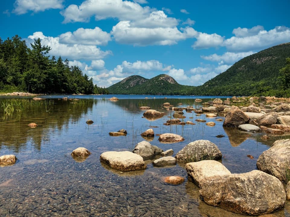 Sight · 0.8 mi awayJordan PondClear water, bare granite, and the Bubbles in one frame.
Parkwolf’s Acadia ranking

The audio tour guide for the drive, plus offline maps, trails, and wildlife heatmaps for when the signal drops.





