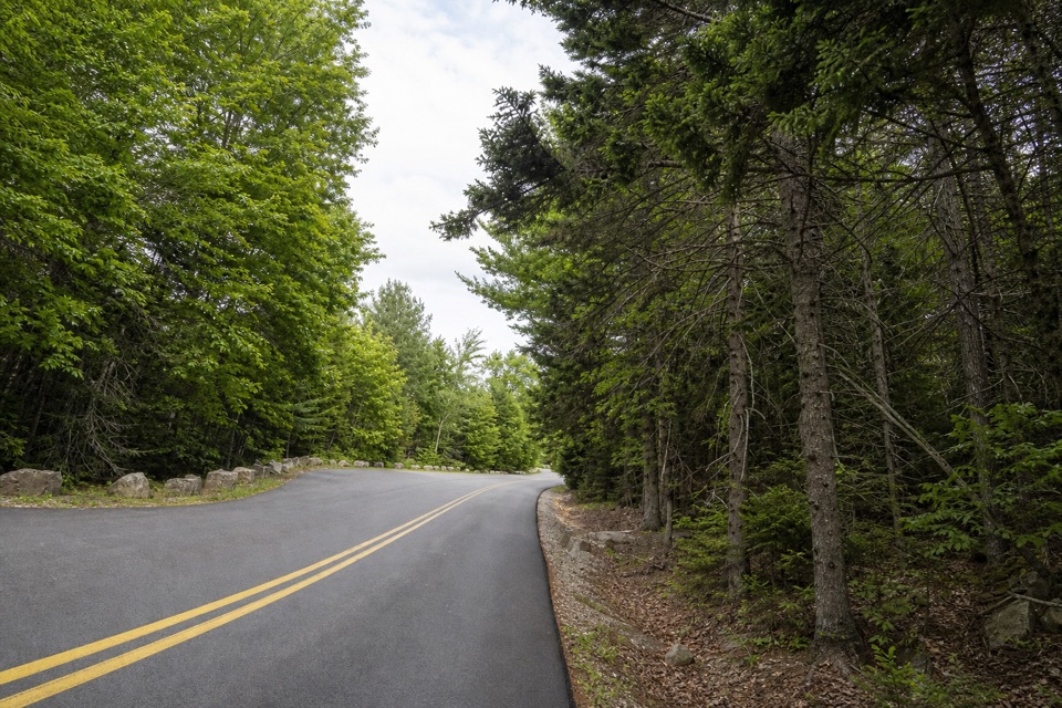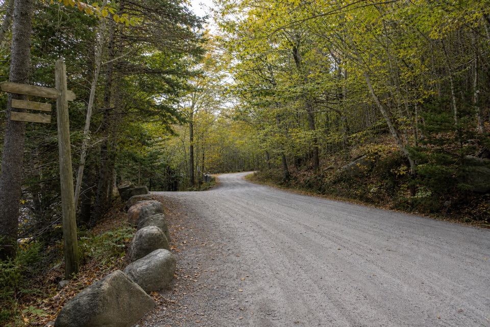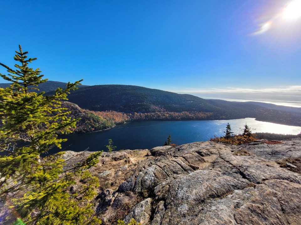
Triad-Day Mountain Bridge in Acadia National Park

Sight · Acadia National Park

Triad-Day Mountain Bridge

A 1940 arch caps the final link in the carriage-road network.

Type
Sight
Nearest trail
Right here
Audio stories
17 nearby
  • Scenic viewpoint

Hear the audio tour

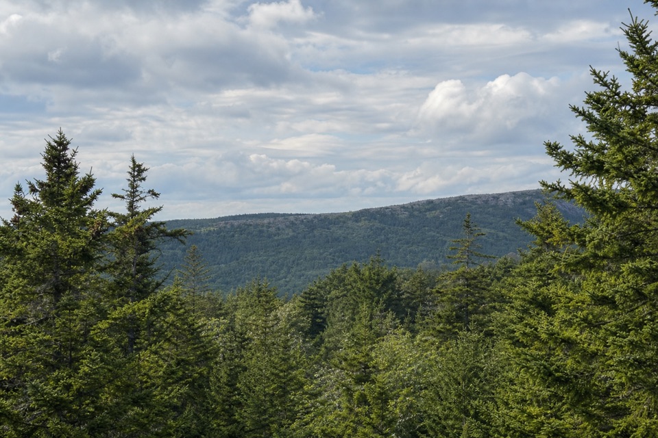
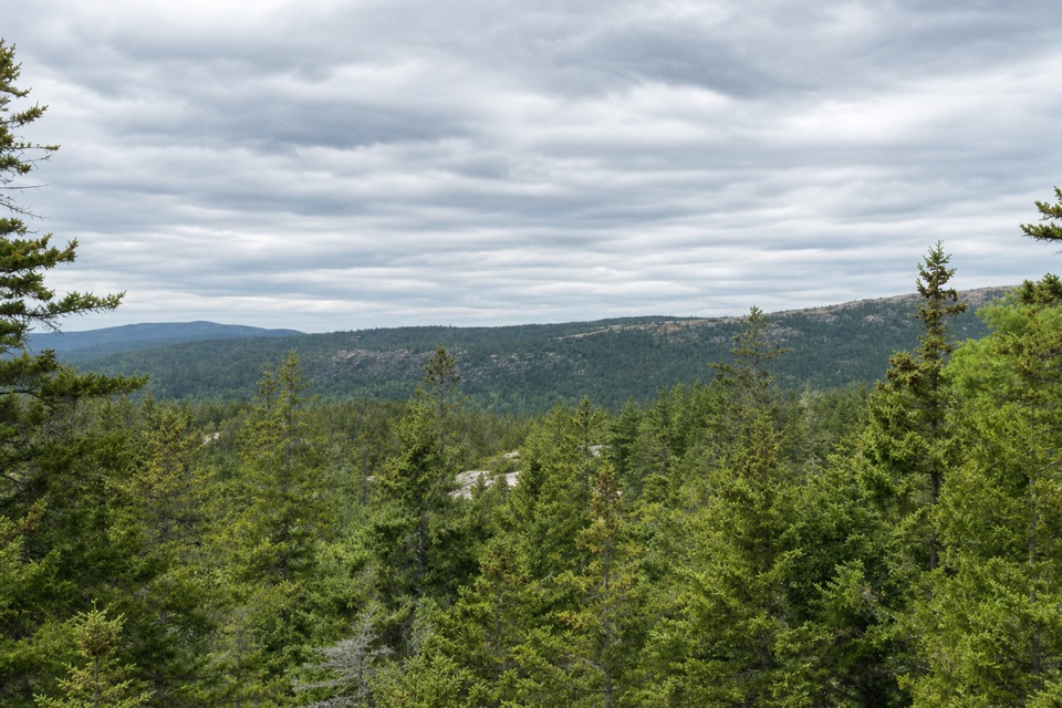
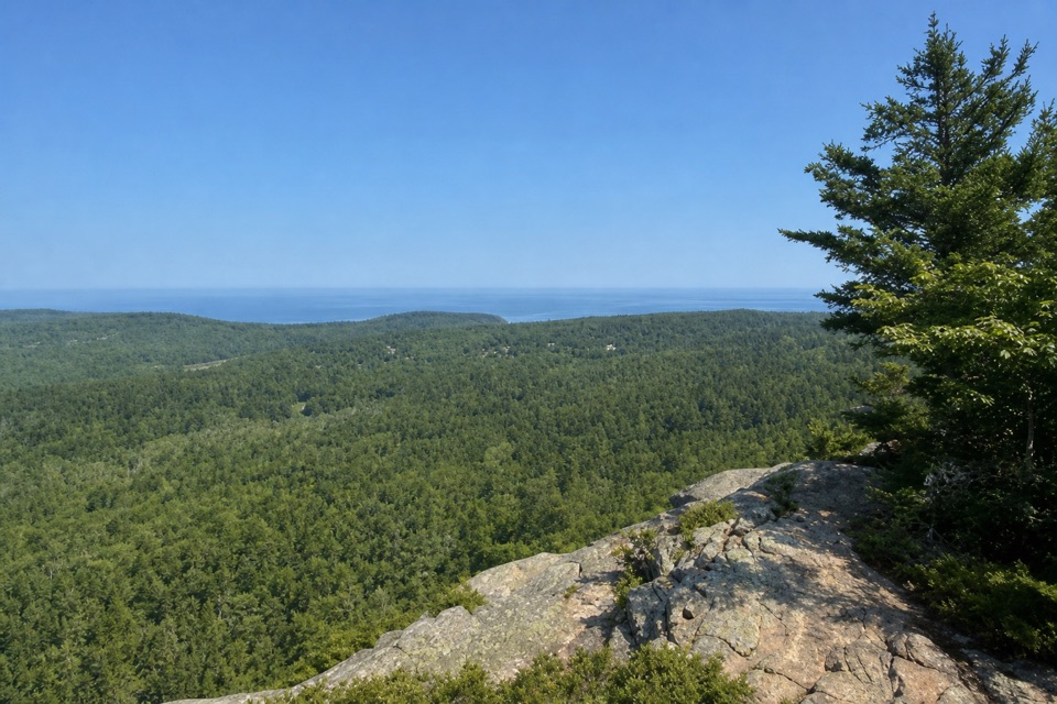
South Triad’s Wooded Summit

Overview

About Triad-Day Mountain Bridge

Why stop

  • Distinctive granite arch and detailed masonry along a historic carriage-road route.

Map

Where it is

Loading the Acadia map
Full map
SightTriad-Day Mountain Bridge44.31586, -68.23427
Keep this map with you offline in the Parkwolf app

Plan your stop

Before you go

4 active Acadia alerts

  • CautionAvoid water contact at Sand Beach LagoonDo not swim at Sand Beach Lagoon. - Bacterial levels have exceeded public-health standards, so the NPS has posted a Public Health Advisory.Official details
  • ClosureSchoodic Mountain Road closed for repairsSchoodic Mountain Road is closed from Schoodic Loop Road to the summit of Schoodic Head. - The closure began August 31 for resurfacing, regrading, and ditching.Official details

See all 4 alerts
A park ranger sits on a dash-mounted phone, talking, as Parkwolf’s Tour Guide plays “Army Cutworm Moths: A Grizzly Bear Buffet” on Grand Loop Road below Dunraven Pass in Yellowstone
Parkwolf Tour GuideThe highest, rockiest slopes around here are a summer buffet for grizzly bears.

Acadia Tour Guide

Your drive to Triad-Day Mountain Bridge, narrated.

Parkwolf is a GPS audio tour guide for Acadia National Park. As you drive, it chimes in with what’s ahead: hidden gems, upcoming stops, history, geology, and wildlife, right through your car’s speakers.

Recorded for this place

South Triad’s Wooded Summit
0:00 / 0:24
“You're approaching the South Triad trail access, for a short climb through granite and spruce. Allow about an hour for the roughly one-mile return hike, with a steep, uneven start that becomes harder on wet rock.”

Plays as you drive up to Triad-Day Mountain Bridge in the Parkwolf Acadia Tour Guide.

More stories near here in the app

  • Wildwood Stables by Carriage
  • Hunters Brook’s Woodland Through-Route
  • Stanley Brook Bridge’s Three Crossings
  • The Hermit Crab's Borrowed Shell
  • 116 audio storiesacross Acadia’s roads, triggered by GPS as you drive
  • Wildlife heatmapsfor Bald Eagle, Peregrine Falcon, White-tailed Deer, and 13 more
  • Works offlinemaps, 142 trails, 72 places, and audio download before you lose signal
  • CarPlay readysimple controls built for the drive
★★★★★
“…As we drove through Acadia it gave us a tour, which was really cool. Lots of great info about the parks and how to avoid the crowds. It’s a great travel companion!”
MyMysteryChicaApp Store review
Download Parkwolf on the App StoreGet Parkwolf on Google Play

4.7 from 8,600+ ratings

Guide

More about Triad-Day Mountain Bridge

A bridge to notice along the carriage roadsTriad-Day Mountain Bridge is a pink-granite-faced carriage-road bridge over Day Mountain Motor…

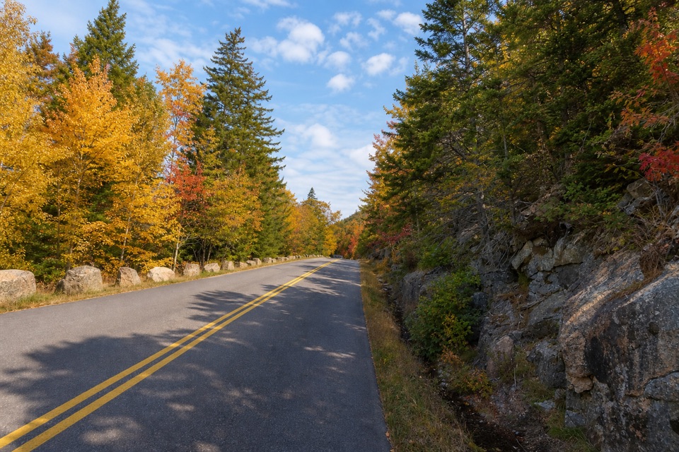
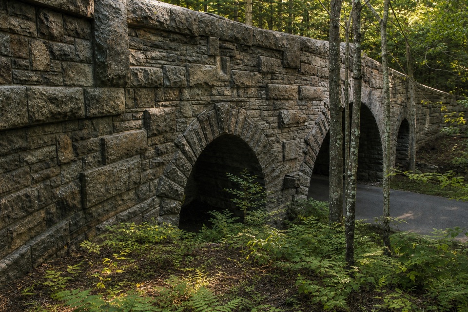
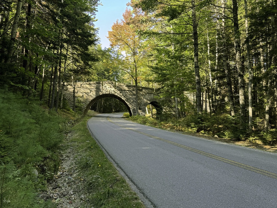
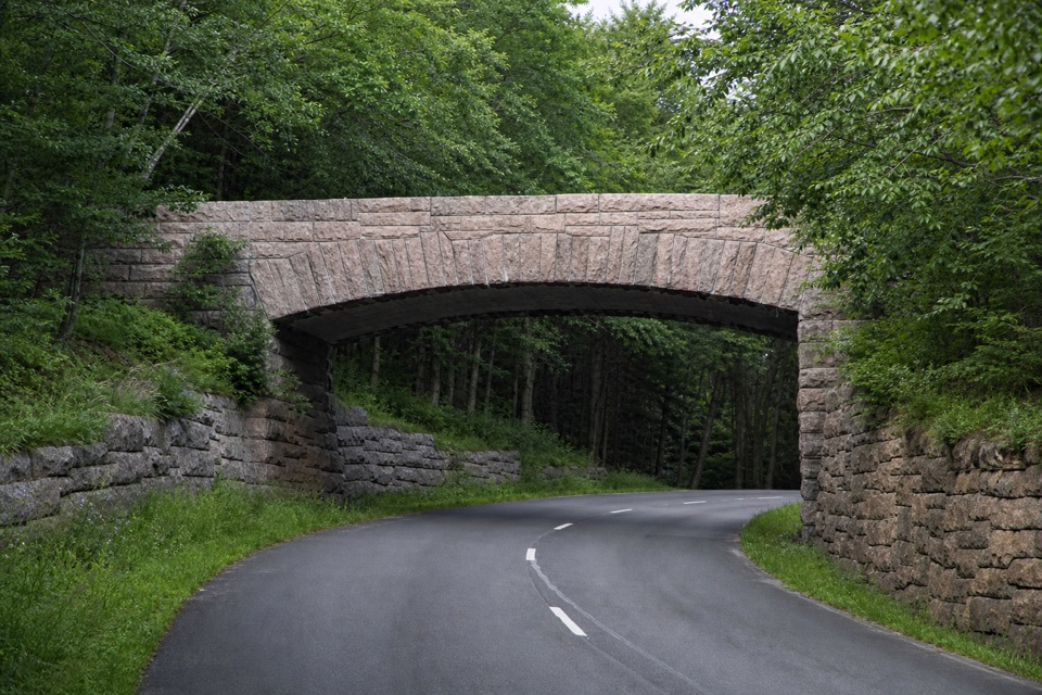
Triad-Day Mountain Bridge is a pink-granite-faced carriage-road bridge over Day Mountain Motor Road in Acadia National Park. It links the Bubble Pond carriage road to the north with the Barr Hill-Day Mountain and Day Mountain Loop roads to the south, so it makes most sense as a detail on a longer carriage-road outing. The bridge is on the route itself; no nearby parking point or approach distance is established, so don't plan around an unverified drive-up stop.

Look at the archThe structure is reinforced concrete faced with quarry-faced pink granite, including under the…

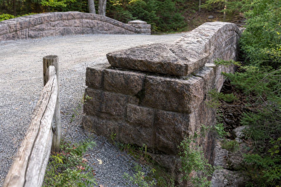
The structure is reinforced concrete faced with quarry-faced pink granite, including under the arch. Its segmental arch spans 34 feet 8 inches; the full bridge is 74 feet 6 inches long and 20 feet 6 inches at its highest point. Look for the slender wedge-shaped stones radiating around the arch, squared granite capstones, and the stepped masonry walls along the road. If you have a safe place clear of the travel way, frame the arch with the road beneath it; that shows how the crossing works.

The last bridge in the buildCompleted in 1940, it was the 17th and final bridge in the 57 miles of Mount Desert Island…

Completed in 1940, it was the 17th and final bridge in the 57 miles of Mount Desert Island carriage roads built between 1917 and 1940. The National Park Service built it after John D. Rockefeller, Jr. granted a right-of-way while transferring land and roads into public park ownership. Its design recalls the earlier Rockefeller bridges, especially Stoughton's Jordan Pond Road Bridge.

Wildlife

Wildlife in Acadia

All Acadia wildlife maps

Sighting maps show where each species has been reported across Acadia. Wildlife moves, so no sighting is guaranteed.

Keep exploring

Near Triad-Day Mountain Bridge

See it all on the map

Trails nearby

More stops nearby

Parkwolf’s Acadia ranking

Top sights in Acadia

All 72 places
  1. 1Cadillac MountainSight
  2. 2Jordan PondSight
  3. 3Sand BeachBeach
  4. 4Thunder HoleSight
  5. 5Bass Harbor Head Light StationSight
  6. 6Schoodic PointSight

Take Parkwolf to Acadia.

The audio tour guide for the drive, plus offline maps, trails, and wildlife heatmaps for when the signal drops.

4.7 from 8,600+ ratings

Download Parkwolf on the App StoreGet Parkwolf on Google Play