Parking
Use the South Triad Trailhead off Park Loop Road near 44.3161, -68.2338. A marked lot and parking capacity at the access were not confirmed. Starting near Jordan Pond adds a longer connector approach.
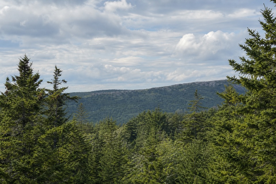
Acadia National Park, ME
Granite footing, a wooded summit, and a century-old trail marker.
Overview
Map & elevation
Plan your hike

The highest, rockiest slopes around here are a summer buffet for grizzly bears.
Acadia Tour Guide
Parkwolf is a GPS audio tour guide for Acadia National Park. As you drive, it chimes in with what’s ahead: hidden gems, upcoming stops, history, geology, and wildlife, right through your car’s speakers.
Recorded for this trailhead
South Triad’s Wooded Summit“You're approaching the South Triad trail access, for a short climb through granite and spruce. Allow about an hour for the roughly one-mile return hike, with a steep, uneven start that becomes harder on wet rock.”
Plays as you drive up to this trailhead in the Parkwolf Acadia Tour Guide.
More stories near here in the app
“…As we drove through Acadia it gave us a tour, which was really cool. Lots of great info about the parks and how to avoid the crowds. It’s a great travel companion!”


Trail guide
Triad Trail is a short southern out-and-back from the South Triad Trailhead on Park Loop Road to a wooded summit. This mapped approach is about 1.04 miles round trip (0.52 mile each way); allow about an hour, including a pause at the top. Some published figures say 0.8 mile, but their endpoints or distance conventions are unclear. The first half climbs steeply over open granite, then the grade eases near the summit.
The route gains most of its elevation on uneven granite, with exposed footing underfoot before the path levels closer to the top. At about 700 feet, the summit is partly screened by spruce; look through the trees for views across forested ridges. The climb feels tougher when the rock is wet or icy.
A granite marker just below the top remembers John Van Santvoord and the older trail. The route was dedicated in 1916; earlier names included Van Santvoord Trail and Pemetic Mountain Trail/Southeast. Pets are allowed on a leash no longer than six feet.
Wildlife
 130 sightingsBald EagleMost seen around noonSighting map
 21 sightingsPeregrine FalconMost seen around 10 AMSighting map
 396 sightingsWhite-tailed DeerMost seen around 7 PMSighting map
 305 sightingsPorcupineMost seen around 7 PMSighting map
 201 sightingsBeaverMost seen around 7 PMSighting map
 34 sightingsMinkMost seen around 7 PMSighting map
Sighting maps show where each species has been reported across Acadia. Wildlife moves, so no sighting is guaranteed.
Keep exploring
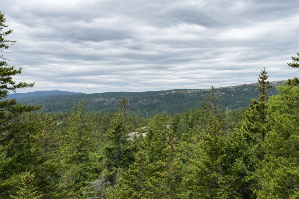 ModerateHunters Brook Trail2.7 mi · 2 hr · 0.4 mi awayBrook crossings to iron-pinned steps and a carriage-road finish.
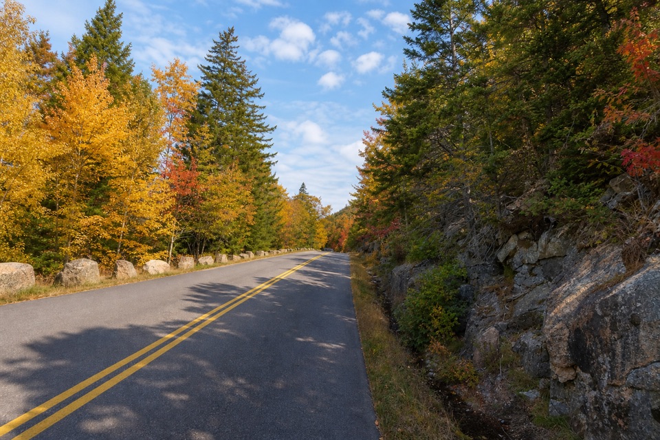 ChallengingPemetic East Cliff Trail0.4 mi · 30 min · 0.8 mi awayA short, steep boulder climb to Pemetic's south ridge.
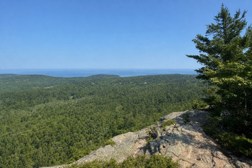 EasyEagle’s Crag Trail0.3 mi · 20 min · 0.9 mi awayA short granite detour with a view across Mount Desert Island.
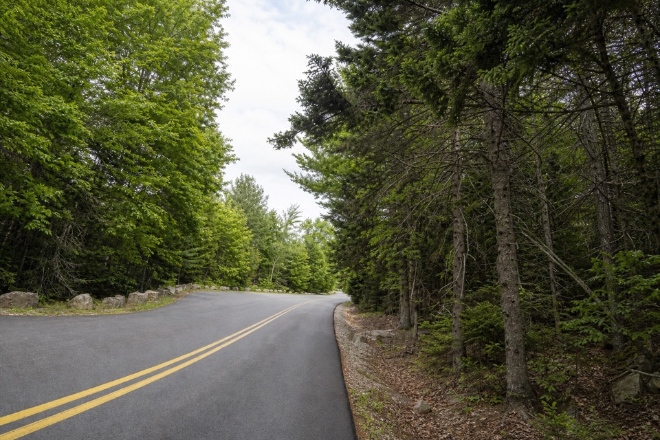 ModerateBubble & Jordan Ponds Path1.5 mi · 1 hr · 1 mi awayA wooded connector between Jordan Pond and Pemetic's lower trails.
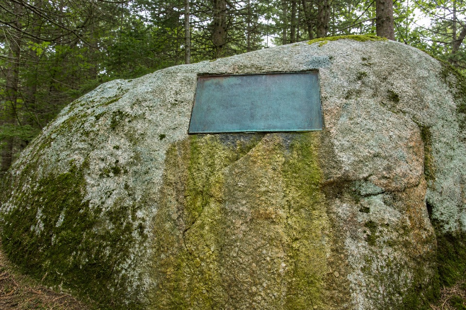 EasySeaside Path1.4 mi · 48 min · 1 mi awayA gentle woodland link beneath an old stone bridge.
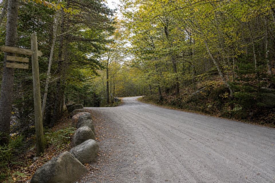 EasyDay Mountain Loop5.3 mi · 3 hr · 1 mi awayA 5.3-mile gravel circuit with a historic stone bridge.
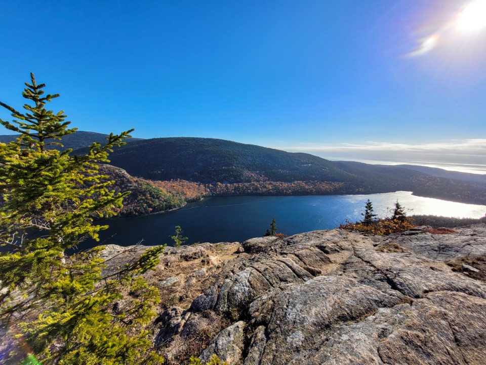 ChallengingPenobscot Mountain Trail3.8 mi · 3.5 hr · 1 mi awaySteep granite scrambling opens to pond and island views.
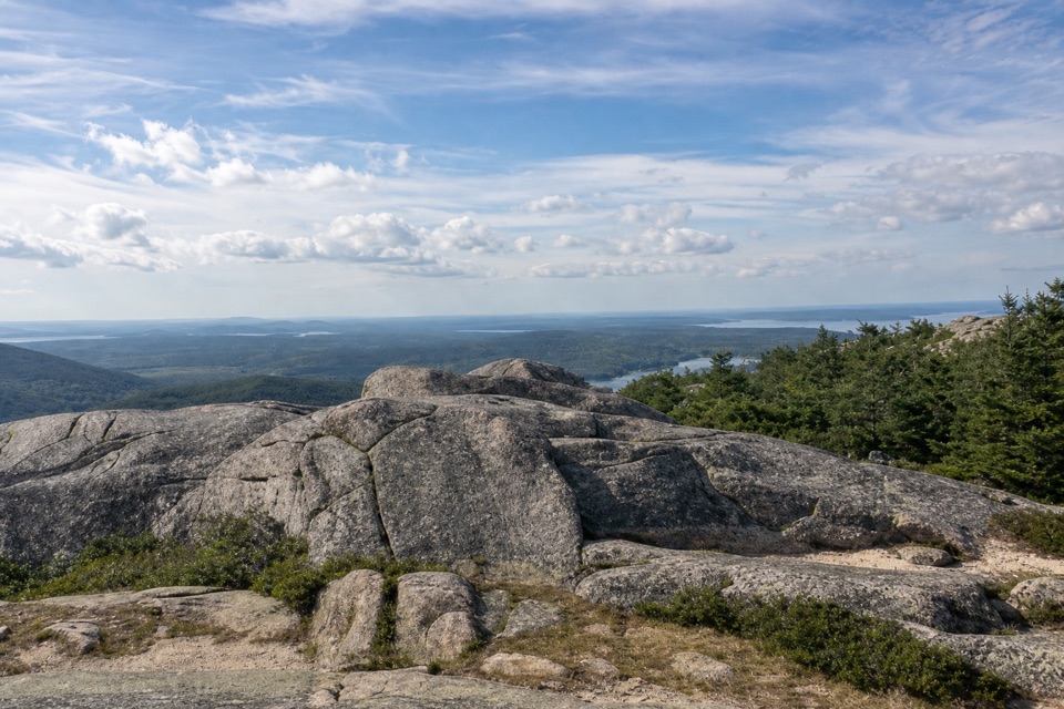 ModeratePemetic South Ridge Trail4 mi · 2.5 hr · 1.1 mi awayClimb rocky granite to Pemetic's open summit and coastal views.
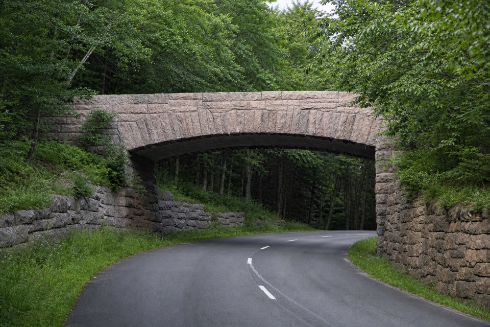 Sight · At the trailheadTriad-Day Mountain BridgeA 1940 arch caps the final link in the carriage-road network.
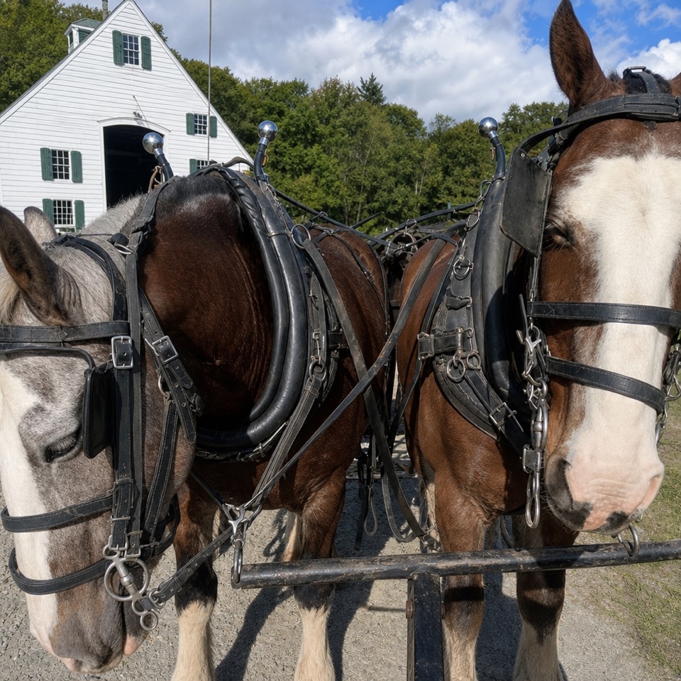 Sight · 0.2 mi awayWildwood StablesHorse-drawn tours put Acadia’s carriage roads at a slower pace.
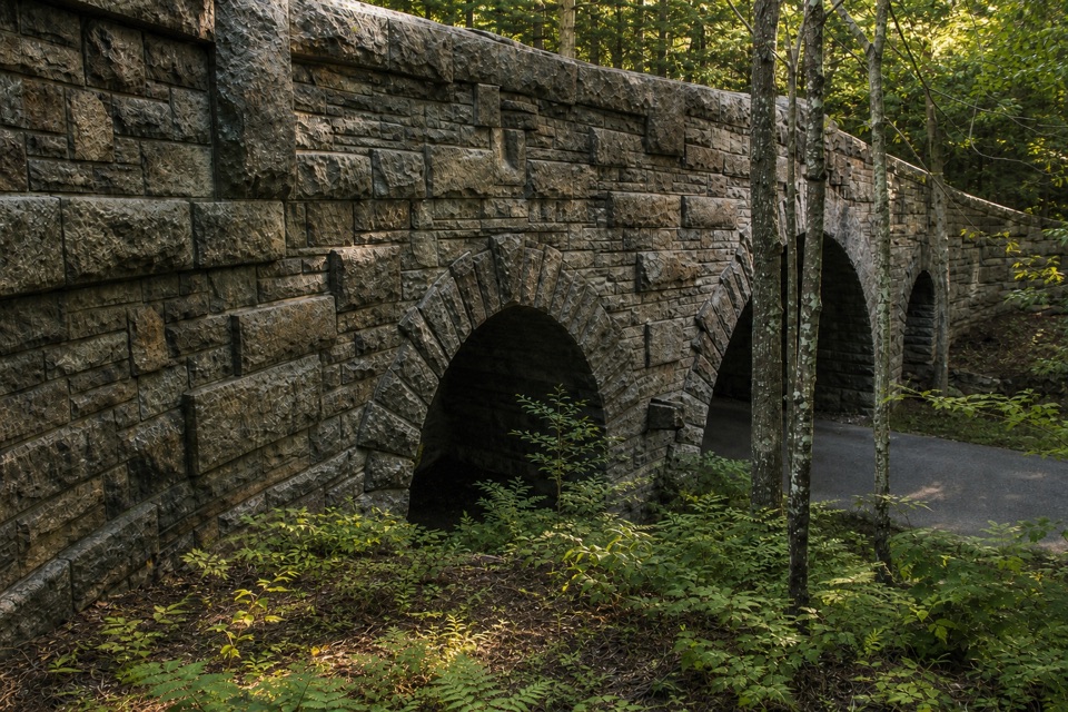 Sight · 0.7 mi awayJordan Pond Road BridgeA historic granite arch on Acadia's carriage roads.
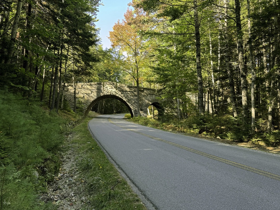 Sight · 0.8 mi awayStanley Brook BridgeA 1933 triple-arch bridge spans a road, brook and trail.
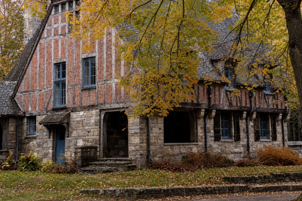 Sight · 0.9 mi awayJordan Pond GatehouseA 1930s stone-and-timber gateway to the carriage roads.
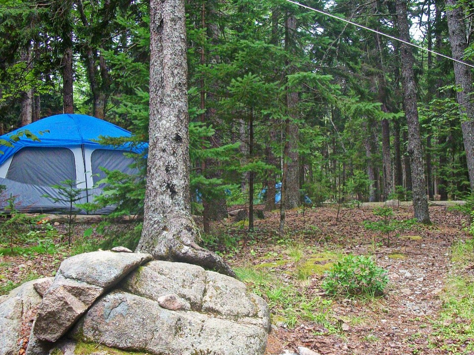 Campground · 1 mi awayBlackwoods CampgroundA wooded base with a short walk to the ocean.
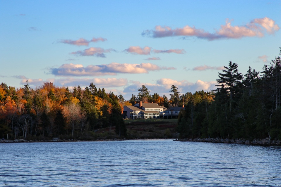 Restaurant · 1 mi awayJordan Pond HouseTea and popovers with Jordan Pond and The Bubbles in view
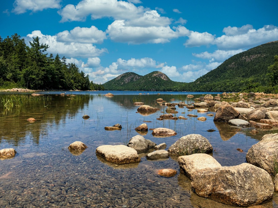 Sight · 1.1 mi awayJordan PondClear water, bare granite, and the Bubbles in one frame.
Parkwolf’s Acadia ranking

The audio tour guide for the drive, plus offline maps, trails, and wildlife heatmaps for when the signal drops.





