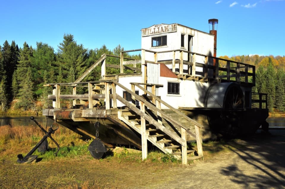
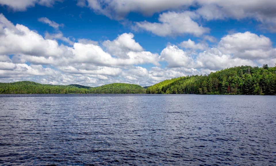
Beach and basic facilities
The campground has a beach on Whitefish Lake, drinking water, and vault toilets. Its listed facilities do not include food service, so arrange meals for your group before turning off Highway 60.
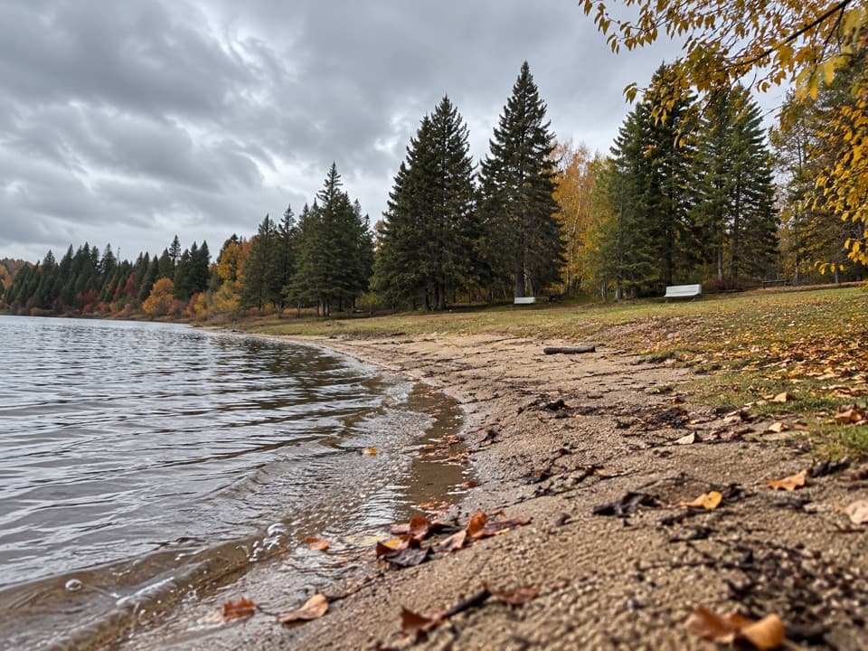
Campground · Algonquin Provincial Park
Group camping for up to 40 per site beside the lake.
Overview
Map
Plan your stop

The highest, rockiest slopes around here are a summer buffet for grizzly bears.
Algonquin Tour Guide
Parkwolf is a GPS audio tour guide for Algonquin Provincial Park. As you drive, it chimes in with what’s ahead: hidden gems, upcoming stops, history, geology, and wildlife, right through your car’s speakers.
See the Algonquin audio tourRecorded for this place
Pog, Kearney and Whitefish Lake Campgrounds“You’re approaching the campground entrances for Pog and Kearney lakes. These are camping bases rather than quick sightseeing stops, with beaches for swimming and lakes for paddling.”
Plays as you drive up to Whitefish Lake Group Campground in the Parkwolf Algonquin Tour Guide.
More stories near here in the app
“Fantastic app with many points of information… It’s great to just turn on while you’re driving and it gives you an audio tour of the national Park. We love it!!!!”


Guide
Whitefish Lake Group Campground is a developed campground on Algonquin's Highway 60 corridor, with 18 large sites for groups of up to 40 people each. It is intended mainly for organized youth and special groups; adult family reunions and clubs can book too, with youth and special groups getting priority. Site seclusion is average, so expect a shared-camp feel rather than a private wilderness pitch.
The entrance is shared with Pog Lake Campground at km 36.9 on Highway 60, then Whitefish is another 2 km along a gravel road. Book through Ontario Parks with the reservation type set to Group, or by phone. It is a seasonal campground, so check the operating dates for the year you plan to go.
Wildlife
 1,249 sightingsMooseMost seen around 6 AMSighting map
 248 sightingsEastern WolfMost seen around 7 PMSighting map
 332 sightingsBlack BearMost seen around 7 PMSighting map
 611 sightingsLoonMost seen around 6 PMSighting map
 111 sightingsBald EagleMost seen around 11 AMSighting map
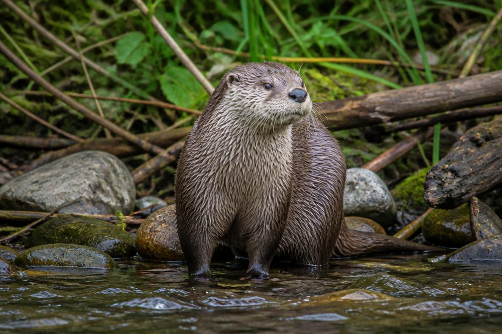 196 sightingsRiver OtterMost seen around 6 PMSighting map
Sighting maps show where each species has been reported across Algonquin. Wildlife moves, so no sighting is guaranteed.
Keep exploring
 ChallengingCentennial Ridges Trail10.4 km · 4.5 hr · 1.9 km awayA very demanding 10.4 km loop over two rocky ridges.
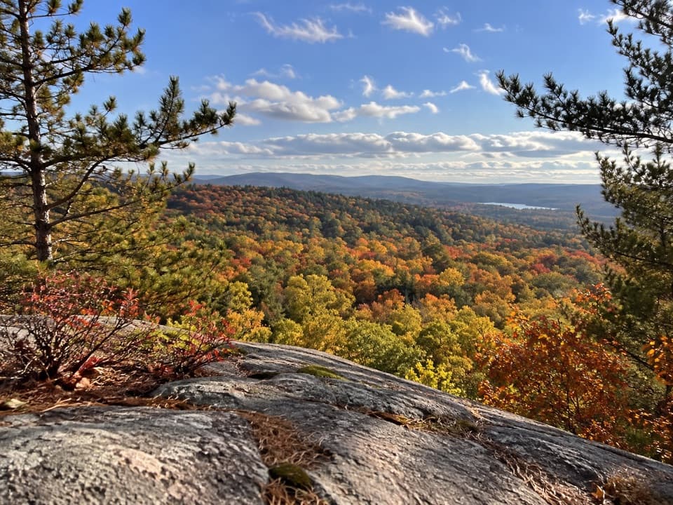 ModerateSouth Lookout Trail2.6 km · 1 hr · 3.3 km awayAn informal path reaches a rocky perch above distant lakes.
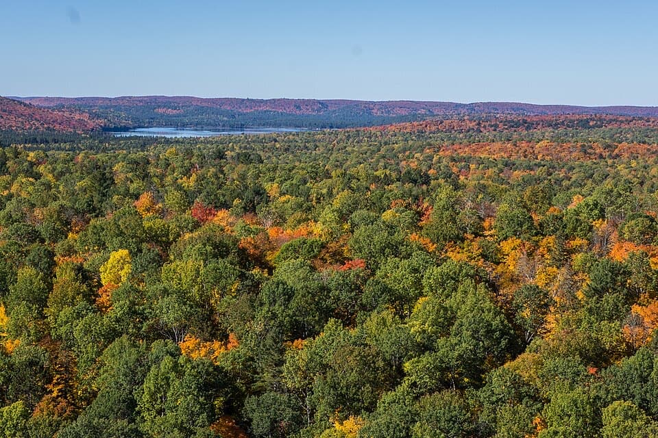 ModerateLookout Trail2.1 km · 1 hr · 3.3 km awayA short climb opens onto a panoramic rocky ridge.
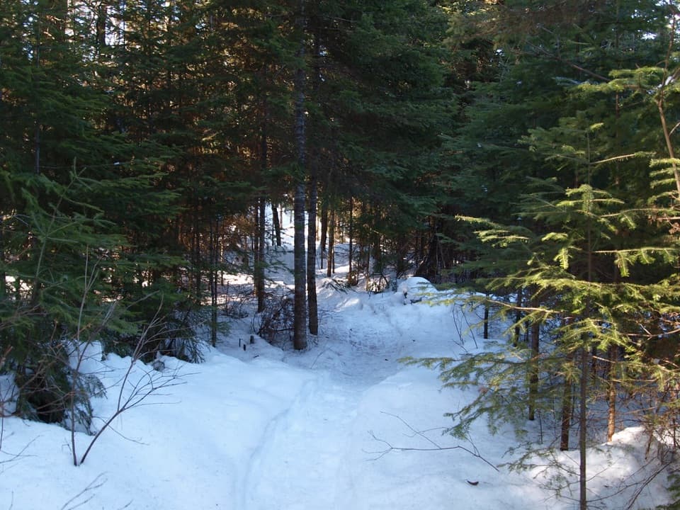 ModerateBig Pines Trail2.9 km · 1.5 hr · 3.9 km awayMeet giant white pines on a mellow loop with a logging past.
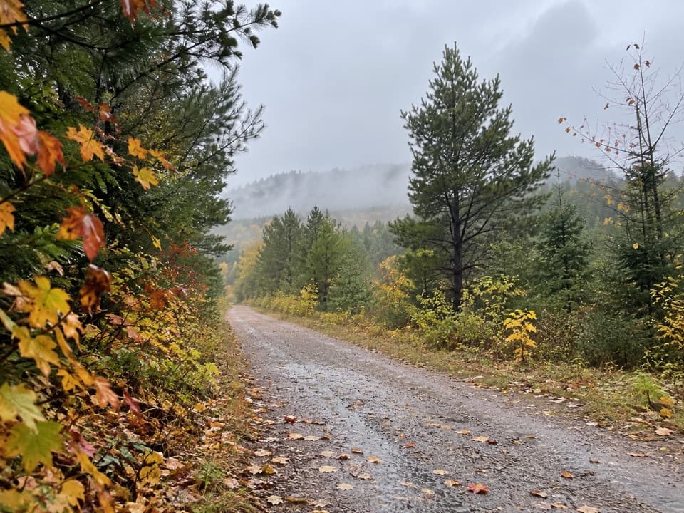 ModerateOld Railway Bike Trail16 km · 4.5 hr · 4.8 km awayFlat rail-bed riding past lakes, rapids, and old railway bridges.
 ModerateTwo Rivers Trail2.3 km · 1 hr · 5.8 km awayA short loop to an open rock lookout above the pines.
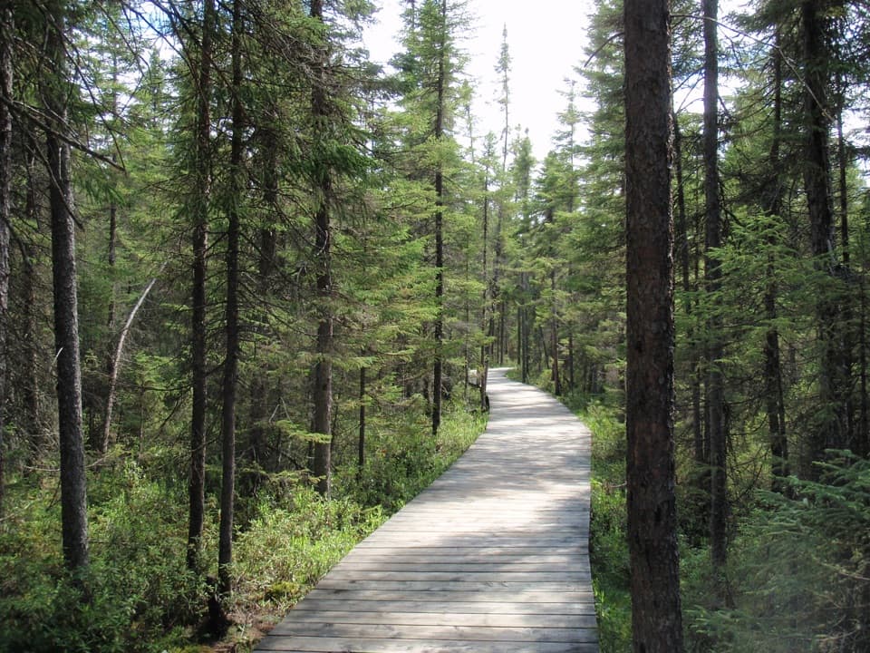 EasySpruce Bog Boardwalk Trail1.5 km · 1 hr · 6 km awayTwo northern spruce bogs, reached on a short boardwalk loop.
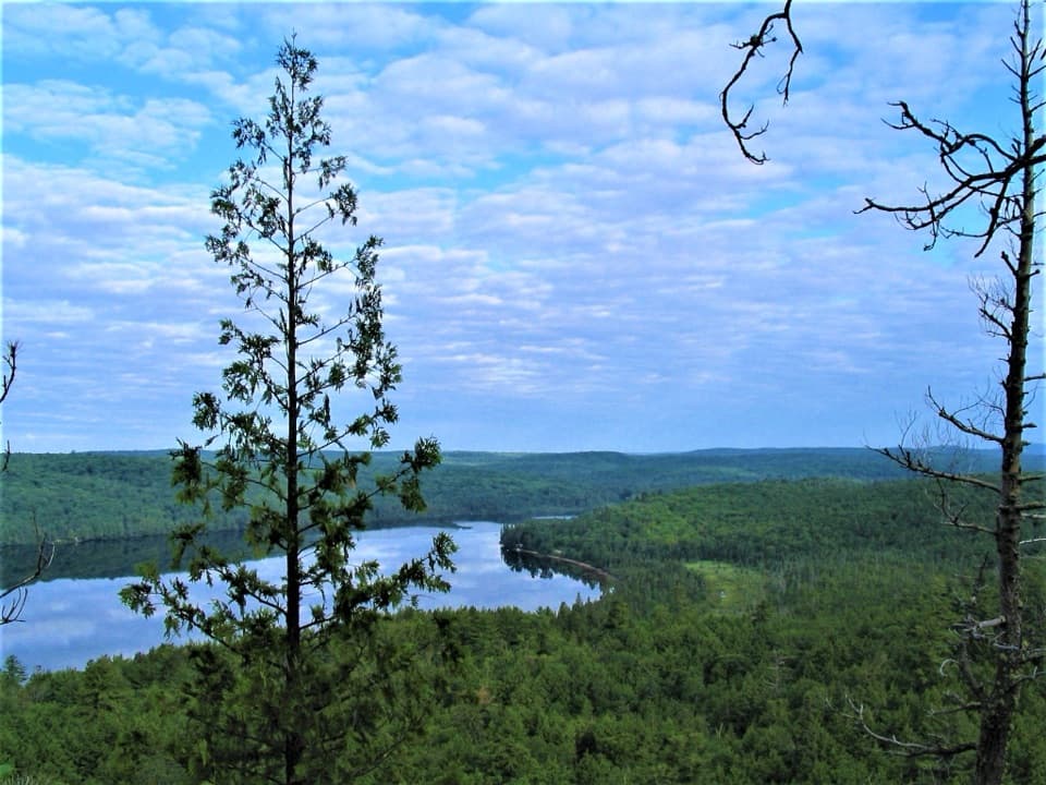 ChallengingBooth's Rock Trail5.1 km · 3 hr · 6 km awayA rocky climb to Rock Lake views and old railway history.
 Campground · 0.5 km awayPog Lake CampgroundA 286-site lakeside campground with a dog-free, radio-free loop.
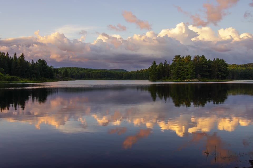 Campground · 1 km awayKearney Lake CampgroundCamp beside a sandy beach and paddle Kearney Lake.
 Beach · 2.1 km awayEast Beach Picnic Ground and BeachA quick swim and picnic with a narrow sandy shore.
 Sight · 3.3 km awayLookoutA steep, short climb pays off with one of Algonquin's biggest panoramas.
 Picnic area · 3.7 km awayLake of Two Rivers Picnic Ground and BeachA beachside lunch stop with a view across the lake.
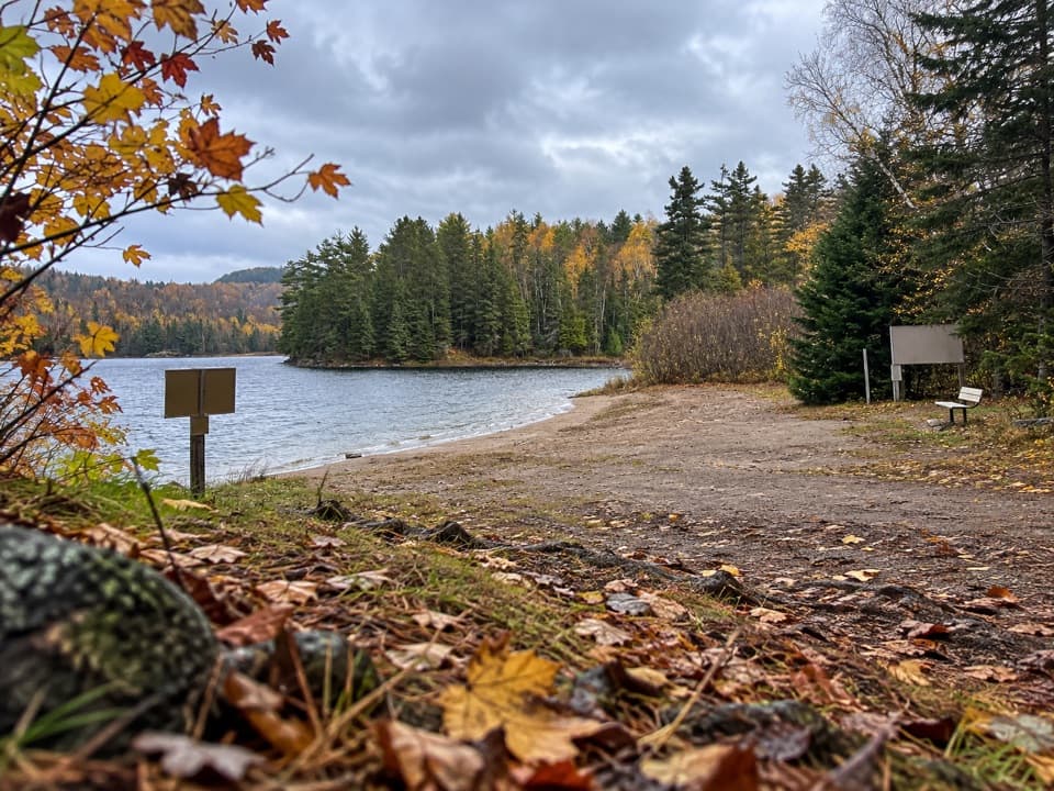 Campground · 3.9 km awayRaccoon Lake CampgroundA quiet lakeside campground with a beach and vault privies.
 Lodging · 4.1 km awayKillarney LodgeYour waterfront cabin comes with a canoe and all meals.
 Campground · 5 km awayLake of Two Rivers CampgroundA 241-site base with a beach on the Highway 60 corridor.
Parkwolf’s Algonquin ranking

The audio tour guide for the drive, plus offline maps, trails, and wildlife heatmaps for when the signal drops.