Old Railway Bike Trail in Algonquin Provincial Park

Algonquin Provincial Park, ON

Old Railway Bike Trail

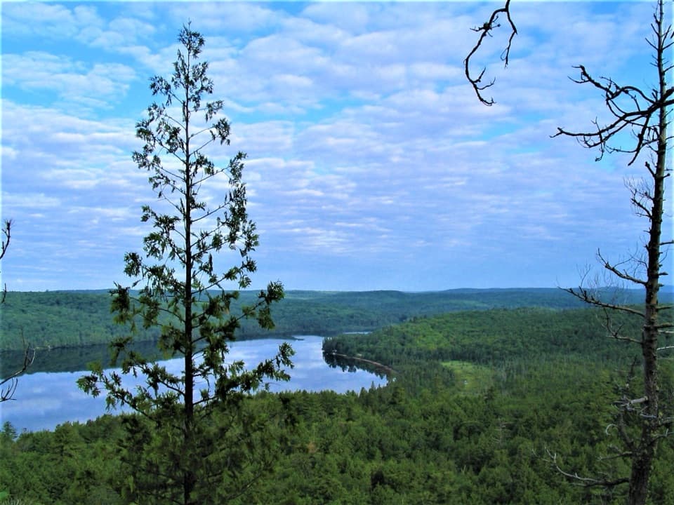
Flat rail-bed riding past lakes, rapids, and old railway bridges.

Length
16km
Time
4.5hr
Elev. change
43m
Difficulty
Moderate
  • Dogs allowed
  • High point 434 m

Hear the audio tour

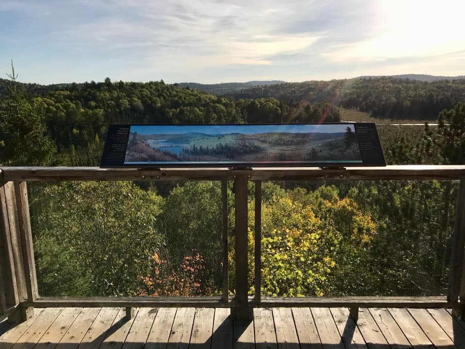
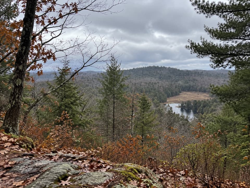
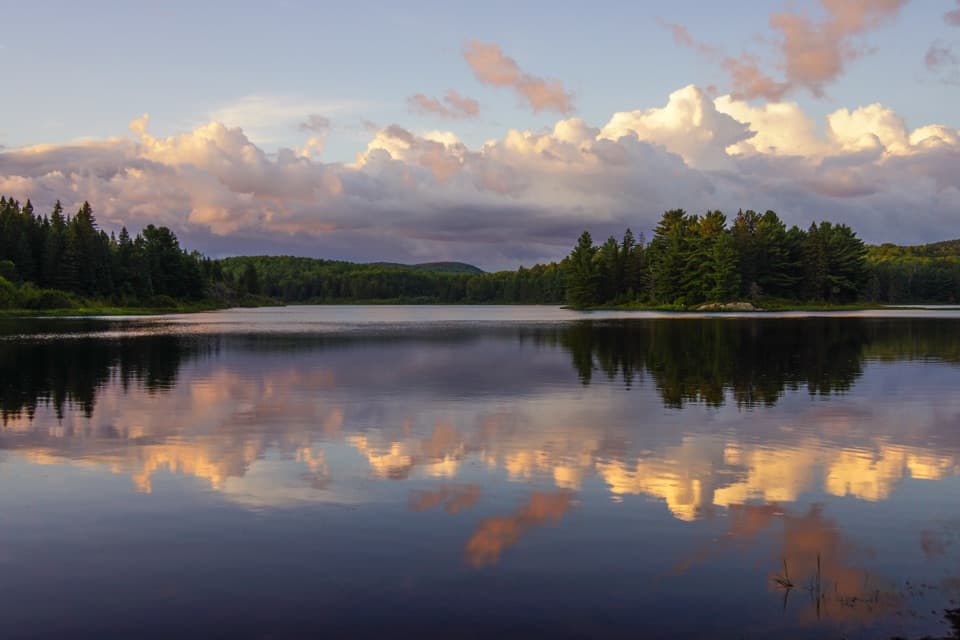
Booth's Rock and Rock Lake

Overview

About Old Railway Bike Trail

Why go

  • A level rail bed links lakes, rapids, bridges, and several campgrounds.
  • Multiple access points make shorter rides or walks easy to plan.

Heads up

  • The full route is 16 km one way; walking back doubles the distance.
  • Unpaved gravel and occasional rocky patches may bother thin tires.

Map & elevation

The route

Loading the Algonquin map
Full map
Elevation391–434 m
TrailheadOld Railway Bike Trail access, Rock Lake Campground45.52640, -78.41001
Keep this map with you offline in the Parkwolf app

Plan your hike

Before you go

Parking

For the full traverse, start at the Old Railway Bike Trail access in Rock Lake Campground, reached from Rock Lake Road. Other access points are at nearby Highway 60 campgrounds along the route. Arrange a return from the Cache Lake end or choose a shorter out-and-back. A valid park permit is required.

Safety

The full route is 16 km one way. Plan transport at the far end or a 32 km return on foot. The route is shared with cyclists and is unpaved; keep dogs leashed to 2 m.

4 active Algonquin alerts

  • ClosureProvoking Falls Bridge ClosedThe Provoking Falls bridge on the Highland Backpacking Trail is closed because of safety concerns; the bridge has been removed. - Use the posted reroute, which adds 2.5 km.Official details
  • CautionLow Water on Backcountry Canoe RoutesOntario Parks currently lists low-water alerts for six backcountry canoe-route sections: - Varley Lake from Carl Wilson Lake - Latour Creek north of Rosebary Lake - Carcajou Creek north towards…Official details
See all 4 alerts
A park ranger sits on a dash-mounted phone, talking, as Parkwolf’s Tour Guide plays “Army Cutworm Moths: A Grizzly Bear Buffet” on Grand Loop Road below Dunraven Pass in Yellowstone
Parkwolf Tour GuideThe highest, rockiest slopes around here are a summer buffet for grizzly bears.

Algonquin Tour Guide

Your drive to Old Railway Bike Trail, narrated.

Parkwolf is a GPS audio tour guide for Algonquin Provincial Park. As you drive, it chimes in with what’s ahead: hidden gems, upcoming stops, history, geology, and wildlife, right through your car’s speakers.

See the Algonquin audio tour

Recorded for this trailhead

Booth's Rock and Rock Lake
0:00 / 0:26
“You're nearing the Booth's Rock trailhead in the Rock Lake area. This difficult five-point-one-kilometre loop earns its climb with wide lake views; allow about three hours.”

Plays as you drive up to this trailhead in the Parkwolf Algonquin Tour Guide.

More stories near here in the app

  • Raccoon Lake Campground
  • Centennial Ridges Trail Access
  • A Shelter Made of Stream Debris
  • Pog, Kearney and Whitefish Lake Campgrounds
  • 107 audio storiesacross Algonquin’s roads, triggered by GPS as you drive
  • Wildlife heatmapsfor Moose, Eastern Wolf, Black Bear, and 13 more
  • Works offlinemaps, 39 trails, 66 places, and audio download before you lose signal
  • CarPlay readysimple controls built for the drive
★★★★★
“Fantastic app with many points of information… It’s great to just turn on while you’re driving and it gives you an audio tour of the national Park. We love it!!!!”
JMJamesApp Store review
Download Parkwolf on the App StoreGet Parkwolf on Google Play

4.7 from 8,600+ ratings

Trail guide

Hiking Old Railway Bike Trail

A one-way rail-bed routeThe Old Railway Bike Trail is an easy-grade, 16 km (about 10 mi) point-to-point route from Rock…

The Old Railway Bike Trail is an easy-grade, 16 km (about 10 mi) point-to-point route from Rock Lake Campground to near Cache Lake. It follows a broad, mostly level former railway bed through forest past lakes, rapids, and bridges. You can ride or walk it; on foot, allow about four to five hours before longer stops. The complete route is one way, so arrange a pickup or choose a shorter out-and-back. Walking back makes it roughly 32 km.

Choose your accessThe park lists access at Rock Lake, Raccoon Lake, Pog Lake, Kearney Lake, Lake of Two Rivers,…

The park lists access at Rock Lake, Raccoon Lake, Pog Lake, Kearney Lake, Lake of Two Rivers, and Mew Lake campgrounds. That makes it easy to pick a shorter section without taking on the whole traverse. The Two Rivers Store sits along the route and rents bikes. A valid park permit is required.

One park map labels three sections as 6, 5, and 7 km, which total 18 km even though its full-route label says 16 km. The mapped Rock Lake-to-Cache Lake line is about 16 km, so use the full distance for the complete traverse and treat those shorter-section figures as approximate.

What the old grade is likeThe route is flat and hard-packed for most of its length, but it is not paved.

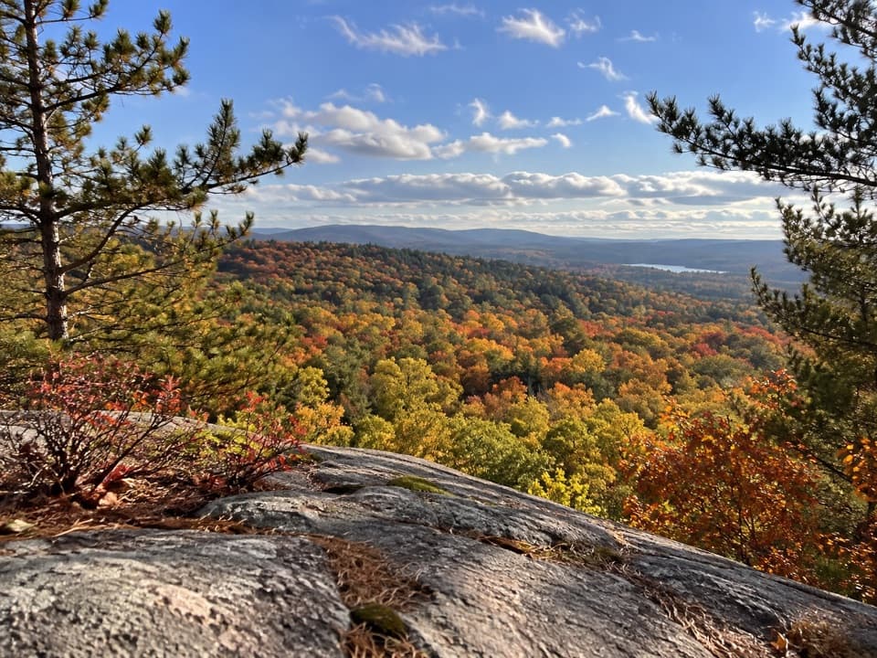
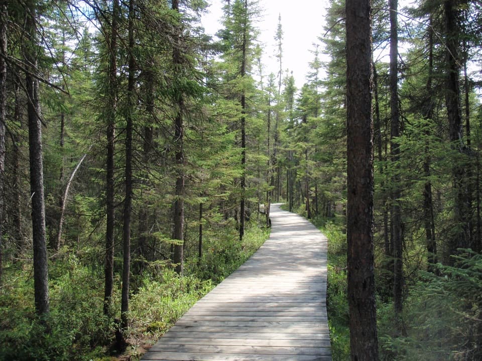
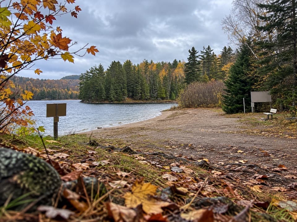
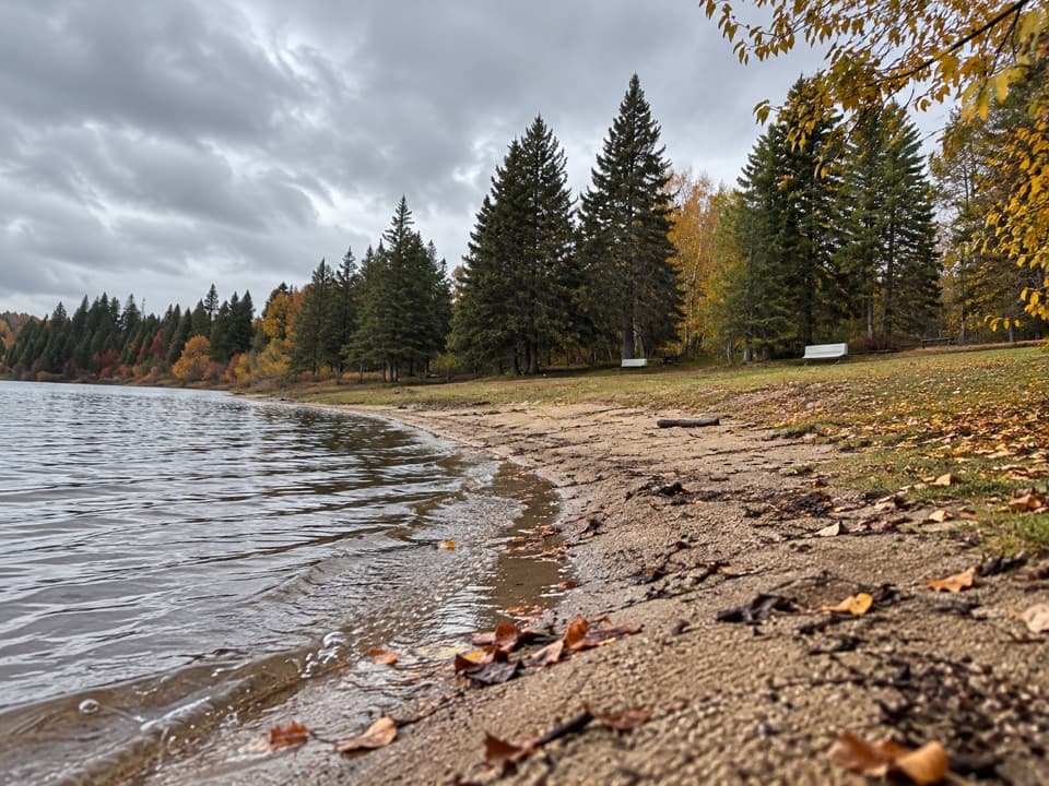
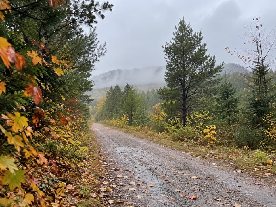
The route is flat and hard-packed for most of its length, but it is not paved. Some riders report loose gravel or rocky patches, while others have managed on a road bike. Expect an easy grade rather than a smooth road surface. The route passes lakes, rapids, and several bridges, with stretches of forest between them. Interpretive panels point out natural and historic features along the way.

A railway through AlgonquinFor most of the route, the trail follows the bed of the Ottawa, Arnprior and Parry Sound…

For most of the route, the trail follows the bed of the Ottawa, Arnprior and Parry Sound Railway. The railway was built across the park in 1895, opened in 1896, and was decommissioned in 1959. The present trail later grew west from Mew Lake toward the Track and Tower Trail, giving the old rail corridor a new use.

Winter useBicycling is for snow-free periods.

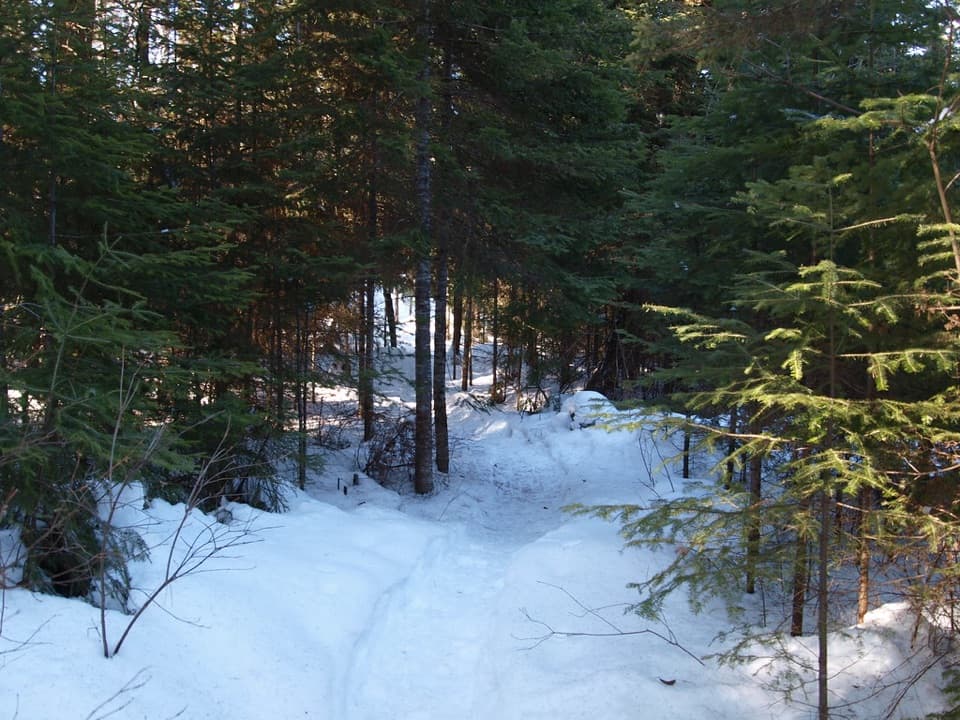
Bicycling is for snow-free periods. In winter, staff may groom and trackset part of the corridor for cross-country skiing; snowshoeing, fat biking, and other winter recreation may also use it. When ski tracks are set, keep other travel out of them. Dogs are allowed on most park trails; keep them on a leash no longer than 2 m and follow posted restrictions.

Wildlife

Wildlife in Algonquin

All Algonquin wildlife maps

Sighting maps show where each species has been reported across Algonquin. Wildlife moves, so no sighting is guaranteed.

Keep exploring

Near Old Railway Bike Trail

See it all on the map

Trails that start nearby

Places near the trailhead

Parkwolf’s Algonquin ranking

Top-rated trails in Algonquin

All 39 trails
  1. 1Barron Canyon TrailModerate · 1.3 km
  2. 2Centennial Ridges TrailChallenging · 10.4 km
  3. 3Booth's Rock TrailChallenging · 5.1 km
  4. 4Track and Tower TrailModerate · 7.5 km
  5. 5Lookout TrailModerate · 2.1 km
  6. 6Mizzy Lake TrailModerate · 10.8 km

Take Parkwolf to Algonquin.

The audio tour guide for the drive, plus offline maps, trails, and wildlife heatmaps for when the signal drops.

4.7 from 8,600+ ratings

Download Parkwolf on the App StoreGet Parkwolf on Google Play