
Place · 0.2 mi away
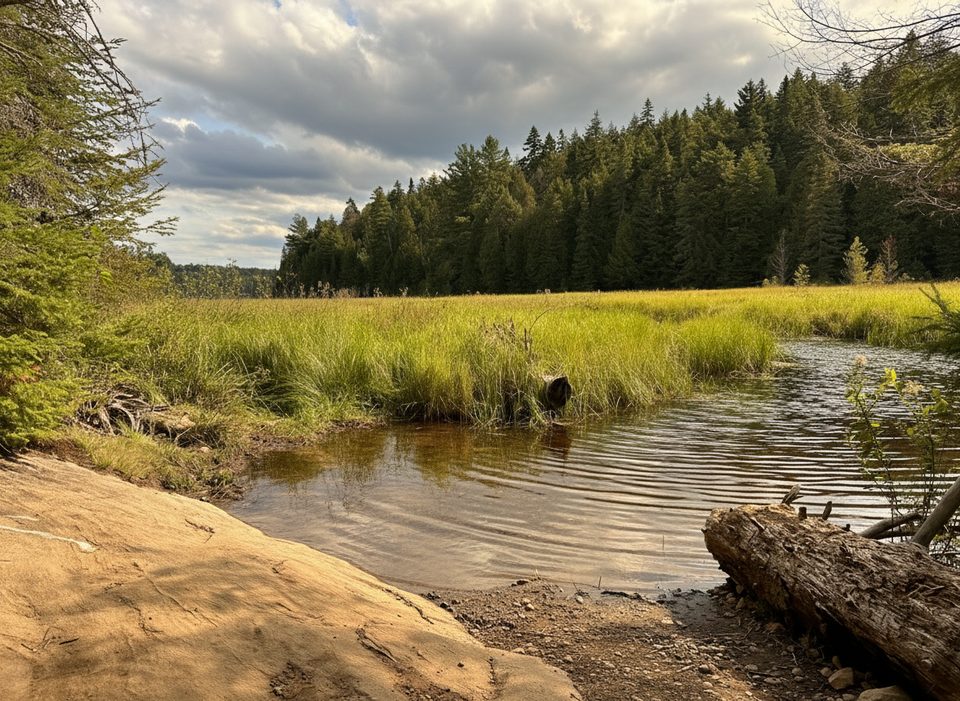
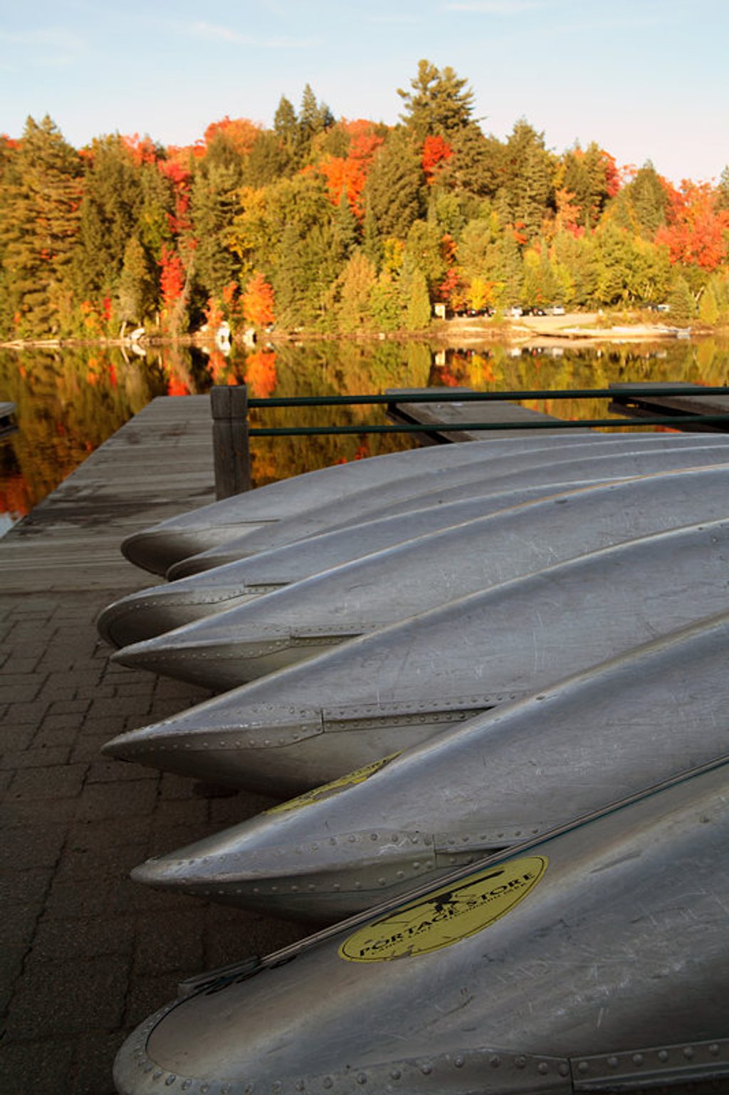
At km 14.1 on Highway 60, a short spur drops to the north end of Smoke Lake—the classic starting gun for backcountry canoe trips. It’s an easy drive on paved roads and a straightforward place to stage: unload at the dock, park, and go.
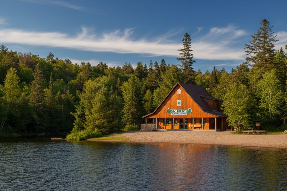
Expect a large, fairly even gravel lot, pit toilets, garbage bins, and a public boat launch with a few docks. There’s no rental desk or permit sales right here, but the Canoe Lake Permit Office is close by for questions and maps, and nearby businesses rent canoes and camping gear (including ultralight Kevlar options). If you’re loading a crew, pull to the dock to unload, then park farther back where it’s less congested.
Smoke is a gateway to varied routes. A popular five‑day “Smoke Loop” runs roughly 43 km with 12 portages (longest about 1.7 km). Highlights—and honest grinds—include the steep “Devil’s Staircase” between Ragged and Big Porcupine, and the long but mostly flat carry between Head and Cache. Many paddlers build in layovers on Ragged, Kirkwood, Harness, Head, or Little Island to fish and decompress. Note that Cache Lake allows motorboats; when you hit it, hug the shoreline.
Smoke is a long, open lake. Wind funnels down the corridor and can create whitecaps by late morning—especially problematic if you try to cut straight lines. When in doubt, trace the shore and start early.
Backcountry permits must be reserved in advance (up to five months) online or by phone. There are no in‑person permit sales at the Smoke access itself, so handle paperwork before you arrive or plan a quick stop at the nearby office for information.
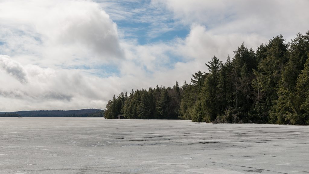
For smooth water and easy parking, arrive at dawn on weekdays. Crowds swell late morning to early afternoon, peaking around midday on Fridays and Saturdays. Early launches also mean lighter winds and a far more relaxed crossing of Smoke. In shoulder seasons, ice can linger—plan accordingly.
These access points turn over constantly. Do quick, efficient unloads at the dock, sweep for trash before you shove off, and pack out everything you bring. It keeps the lot tidy and the day moving for everyone.
Place · 0.2 mi away
Place · 0.3 mi away
Place · 0.3 mi away
Place · 0.3 mi away
Easy · 0.4 mi away
Moderate · 0.7 mi away
Easy · 2.8 mi away
Moderate · 4.2 mi away

Parkwolf Tour Guide
