Parking
Use the Algonquin Logging Museum lot on Highway 60 at km 54.5; the exhibit loop starts by the reception building. Toilets are available at the site. A valid park day-use permit or pass is required.
#8 of 39 trails in Algonquin
Algonquin Provincial Park, ON
A short loop past a real alligator tug and logging exhibits.
Overview
Map & elevation
Plan your hike

The highest, rockiest slopes around here are a summer buffet for grizzly bears.
Algonquin Tour Guide
Parkwolf is a GPS audio tour guide for Algonquin Provincial Park. As you drive, it chimes in with what’s ahead: hidden gems, upcoming stops, history, geology, and wildlife, right through your car’s speakers.
See the Algonquin audio tourRecorded for this trailhead
Algonquin Logging Museum“Up ahead is the Algonquin Logging Museum, where an easy outdoor loop takes you past a recreated logging camp and the machinery that moved timber through lake country. Look for the William M.”
Plays as you drive up to this trailhead in the Parkwolf Algonquin Tour Guide.
More stories near here in the app
“Fantastic app with many points of information… It’s great to just turn on while you’re driving and it gives you an audio tour of the national Park. We love it!!!!”


Trail guide
The Algonquin Logging Museum Trail is a 0.81-mile (1.3 km) loop from the museum building through outdoor exhibits. Allow about an hour to walk and stop at the displays. It is an easy, wheelchair-accessible route and a good short break on Highway 60 if you want context for how people logged the park. If you came for a sustained forest hike, choose a longer trail instead.
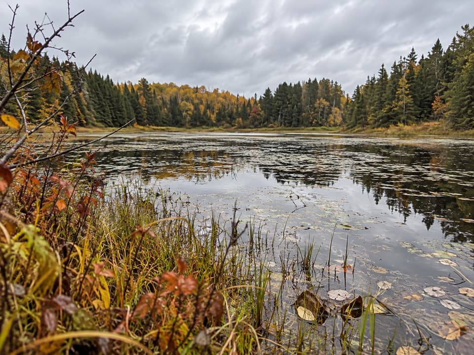
The unpaved path leaves the reception building, passes through trees, loops around a small pond and returns to the museum. The numbered exhibits include a stable and sleighs, a steam-powered amphibious tug called an “alligator,” a pointer boat, a log dam and chute, a sawlog camp, a locomotive and a camboose camp. The alligator and chute show how timber work depended on moving logs over both land and water.
The displays trace Algonquin logging from the early square-timber era through modern forestry management. The camboose camp recreates the kind of camp where lumber workers lived; the alligator is a reminder that logging in this lake country needed equipment that could work on water as well as shore. The exhibit sequence gives the short walk its point: you see the tools and camp life alongside the landscape they were built for.
Start at the museum lot at Highway 60, km 54.5. If the reception building is open, watch the short introductory film before walking; the bookstore and film are seasonal, generally late June to mid-October, with dates varying. The outdoor loop remains available year-round, though snow may cover or lead to winterizing some exhibits. Toilets are at the site. A valid park day-use permit or pass is required, and dogs may come on a leash no longer than 2 m.
Wildlife
 1,237 sightingsMooseMost seen around 6 AMSighting map
 245 sightingsEastern WolfMost seen around 7 PMSighting map
 331 sightingsBlack BearMost seen around 7 PMSighting map
 604 sightingsLoonMost seen around 6 PMSighting map
 110 sightingsBald EagleMost seen around 11 AMSighting map
 192 sightingsRiver OtterMost seen around 6 PMSighting map
Sighting maps show where each species has been reported across Algonquin. Wildlife moves, so no sighting is guaranteed.
Keep exploring
 ModerateBeaver Pond Trail2 km · 1 hr · 8.1 km awayBeaver ponds, a boardwalk, and a high lookout in one short loop.
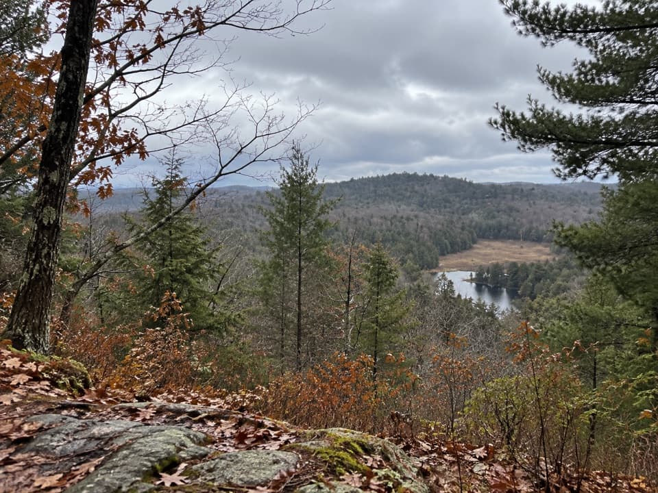 ChallengingFork Lake Trail2.4 km · 1.5 hr · 8.6 km awaySteep climbs, lake views, and a boardwalk in a compact loop.
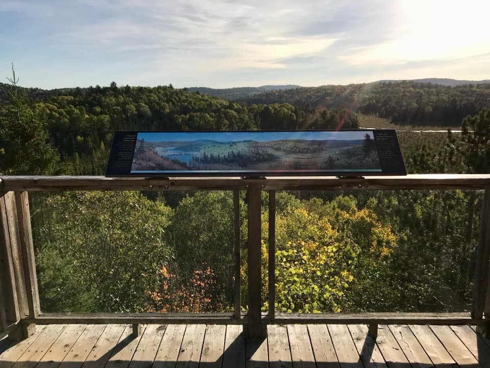 EasyFire Tower Trail0.2 km · 15 min · 8.7 km awayAn easy, accessible boardwalk ends above the Sunday Creek valley.
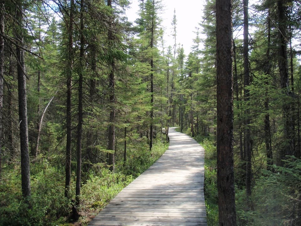 EasySpruce Bog Boardwalk Trail1.5 km · 1 hr · 9.8 km awayTwo northern spruce bogs, reached on a short boardwalk loop.
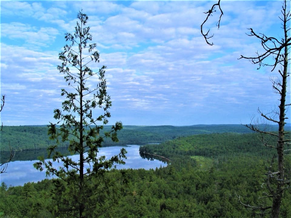 ChallengingBooth's Rock Trail5.1 km · 3 hr · 11 km awayA rocky climb to Rock Lake views and old railway history.
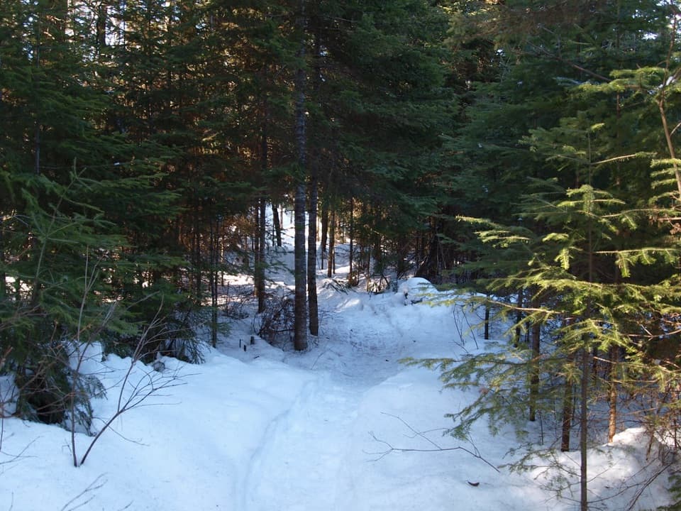 ModerateBig Pines Trail2.9 km · 1.5 hr · 11.3 km awayMeet giant white pines on a mellow loop with a logging past.
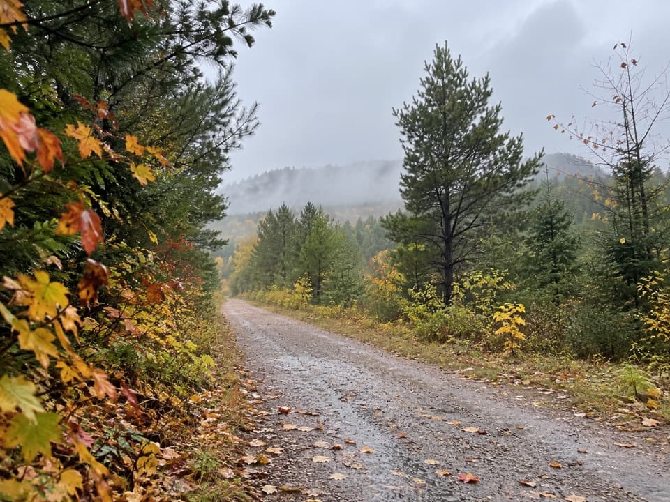 ModerateOld Railway Bike Trail16 km · 4.5 hr · 11.6 km awayFlat rail-bed riding past lakes, rapids, and old railway bridges.
 ModerateLookout Trail2.1 km · 1 hr · 11.8 km awayA short climb opens onto a panoramic rocky ridge.
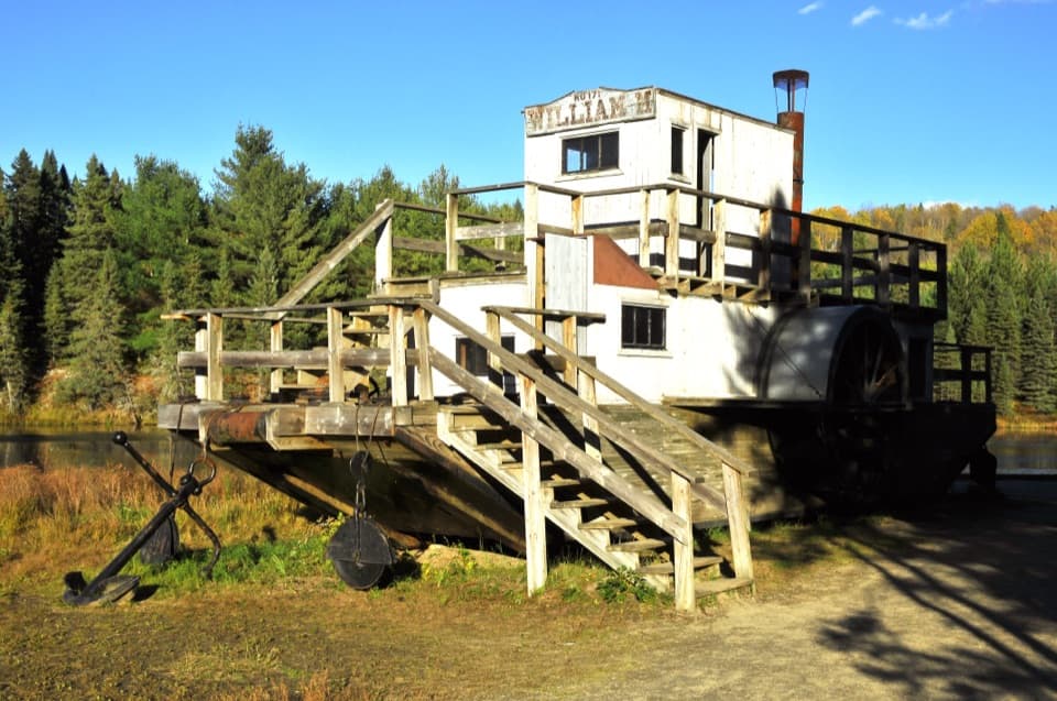 Sight · At the trailheadAlgonquin Logging MuseumSee Algonquin’s alligator tug and logging story on an easy outdoor loop.
 Entrance station · 0.8 km awayEast GateA timber arch, park office and toilets at Highway 60's east gate.
 Sight · 6.3 km awayGaleairy Lake–Whitney Access PointA straightforward lake launch for a backcountry canoe trip.
 Picnic area · 8 km awayCostello Creek Picnic GroundA handy picnic and swim stop just off Highway 60.
 Visitor center · 8.7 km awayAlgonquin Park Visitor CentreStart here for park history, trail advice and a broad deck view.
 Sight · 10.2 km awayBooth's Rock LookoutA tough loop earns its keep with a wide Rock Lake view.
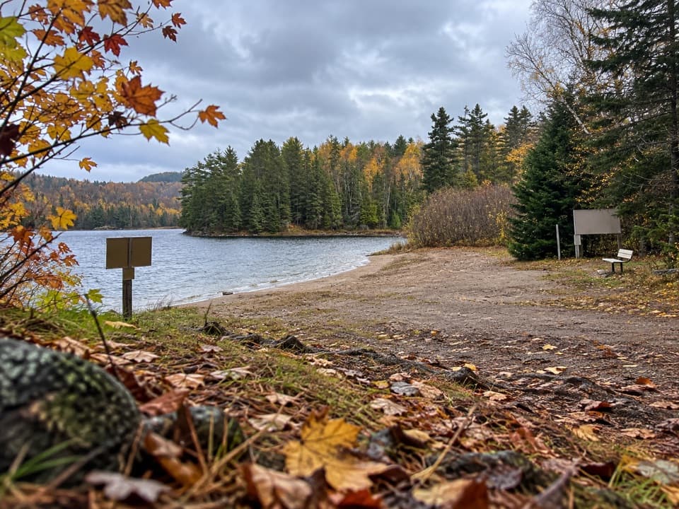 Campground · 11.1 km awayRaccoon Lake CampgroundA quiet lakeside campground with a beach and vault privies.
 Campground · 11.5 km awayRock Lake CampgroundSleep by the lake, then walk to Booth’s Rock Trail.
Parkwolf’s Algonquin ranking

The audio tour guide for the drive, plus offline maps, trails, and wildlife heatmaps for when the signal drops.