Overview
About Eye of the Whale Arch
Why stop
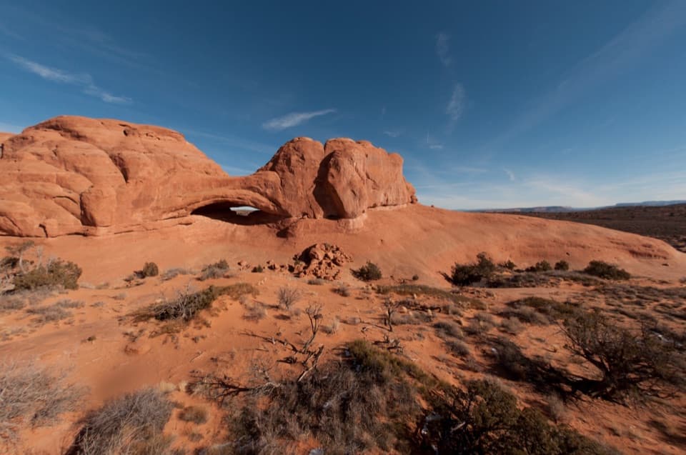
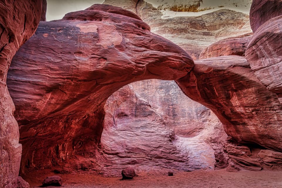
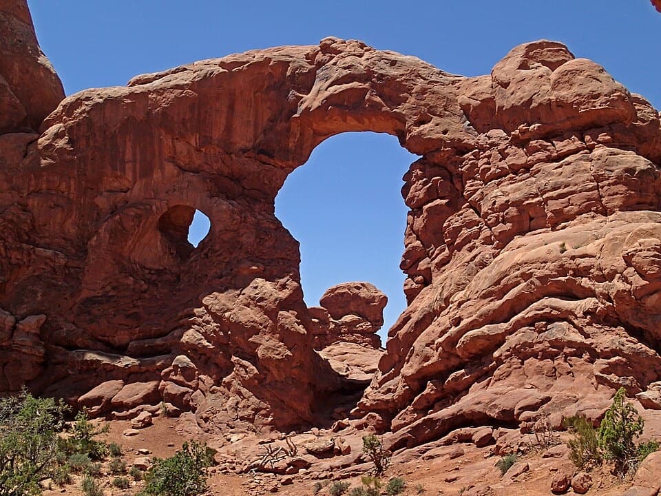
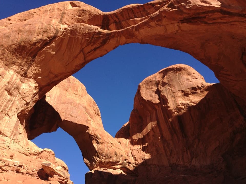
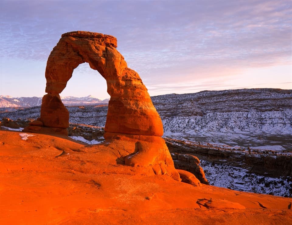
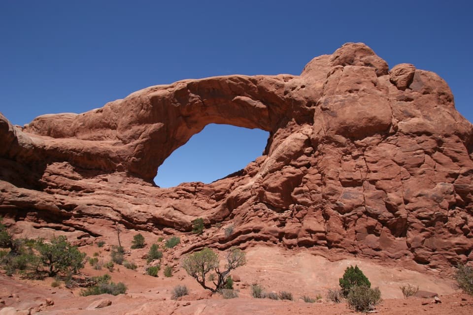
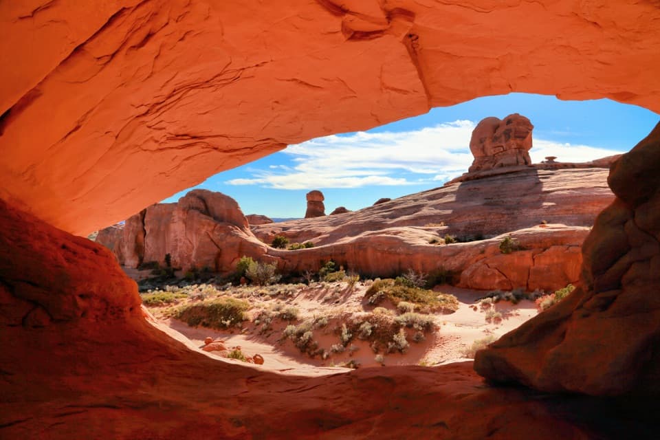
- The far-side opening frames the arch in its distinctive eye-like shape.
Heads up
- The rough backcountry spur makes this a poor quick stop.
Map
Where it is

The highest, rockiest slopes around here are a summer buffet for grizzly bears.
Arches Tour Guide
Your drive to Eye of the Whale Arch, narrated.
Parkwolf is a GPS audio tour guide for Arches National Park. As you drive, it chimes in with what’s ahead: hidden gems, upcoming stops, history, geology, and wildlife, right through your car’s speakers.
See the Arches audio tourMore stories near here in the app
- Balanced Rock
- Water from a Seed
- Salt Valley Overlook
- Why the Rocks Are Red
- 35 audio storiesacross Arches’s roads, triggered by GPS as you drive
- Wildlife heatmapsfor Bighorn Sheep, Pronghorn, Raven, and 13 more
- Works offlinemaps, 28 trails, 41 places, and audio download before you lose signal
- CarPlay readysimple controls built for the drive
“I can’t believe how helpful this app is and how interesting the information is for each highlight along the Arches Scenic Drive! This is the first park I’ve used it in.”


Guide
More about Eye of the Whale Arch
Make it a backcountry stopEye of the Whale is a broad, low fin arch in Entrada Sandstone, set in the Herdina Park corner…
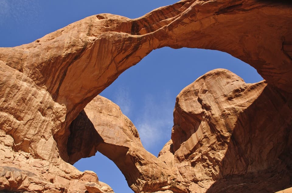
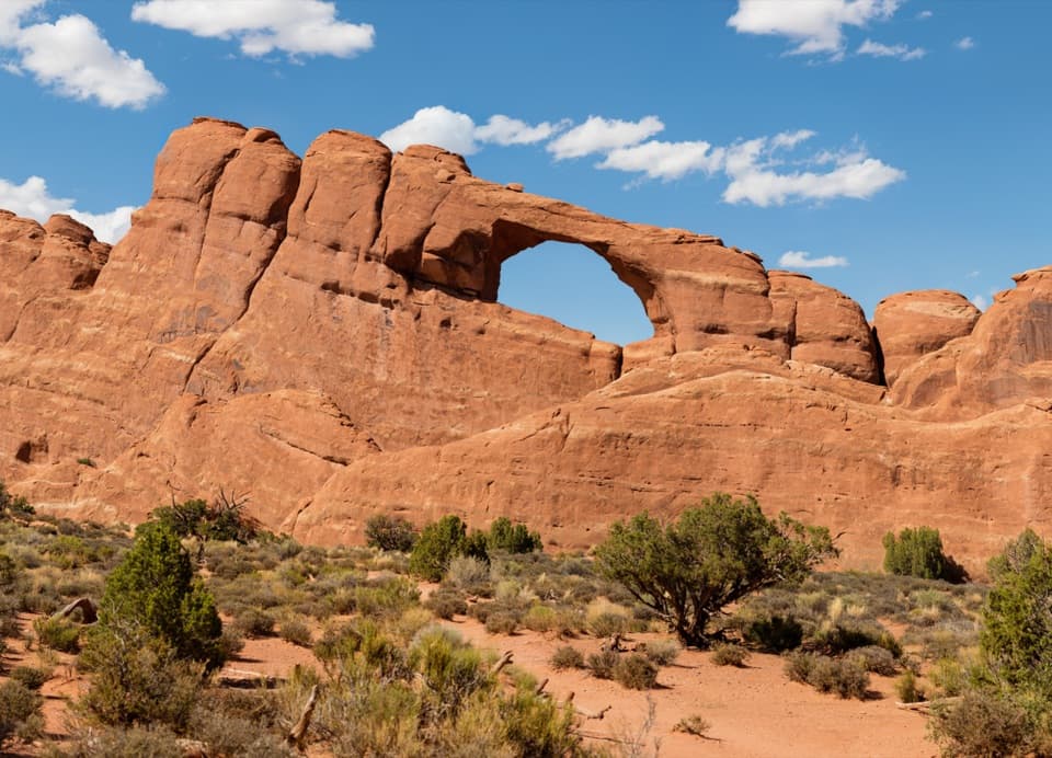
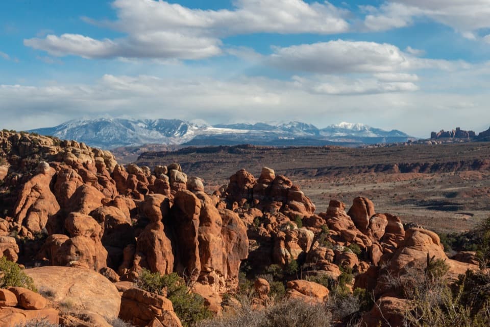
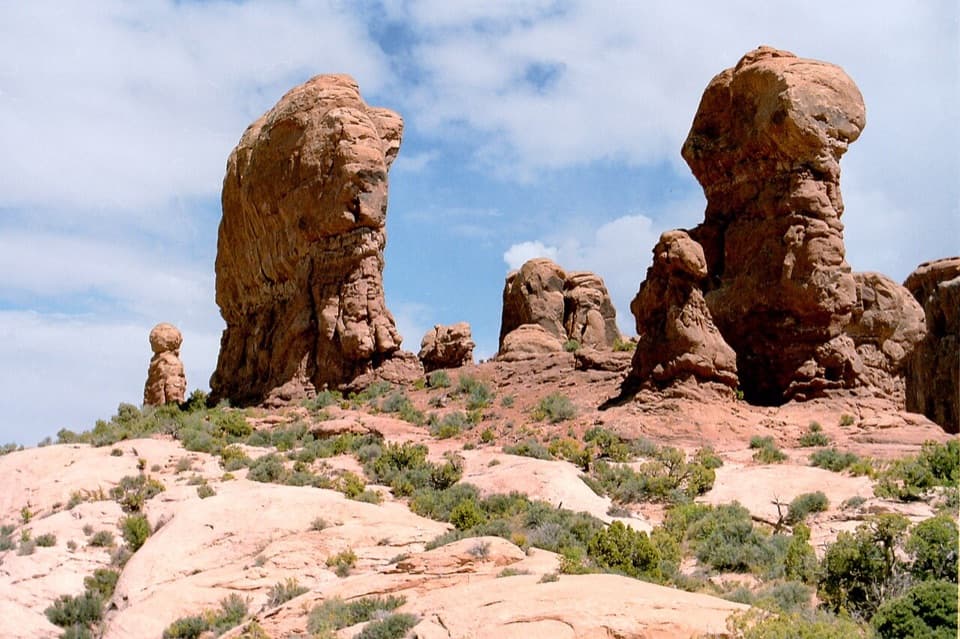
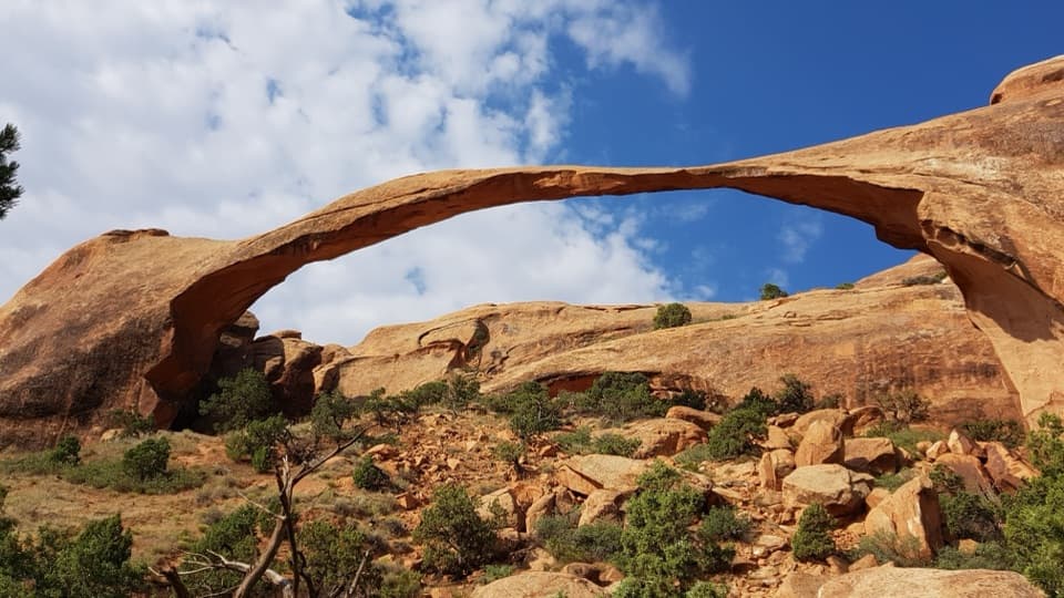
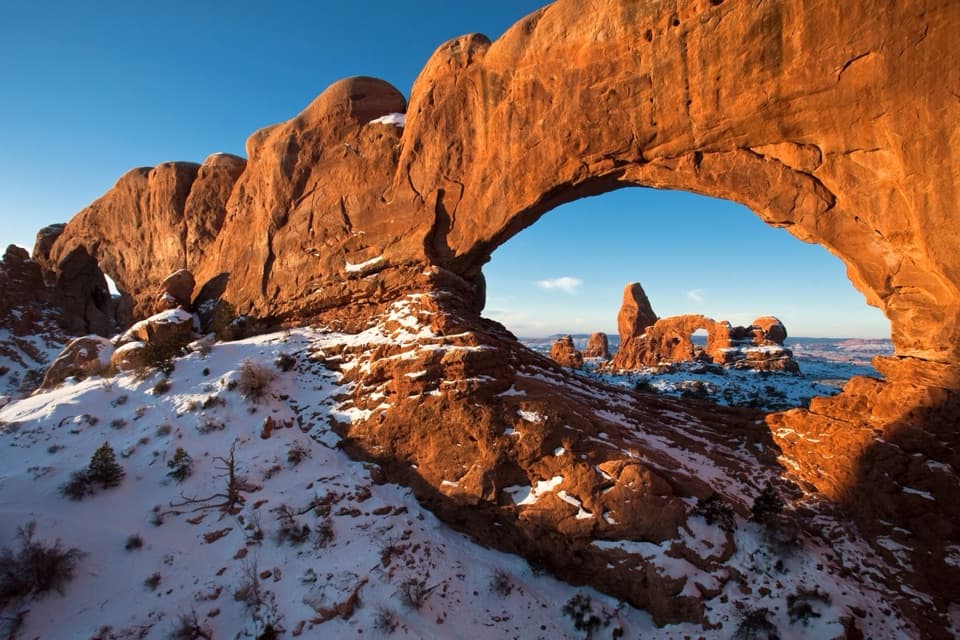
Eye of the Whale is a broad, low fin arch in Entrada Sandstone, set in the Herdina Park corner of Arches. Its opening spans about 37 feet. This is a good pick if you want a quieter walk and some time among the sandstone; if you are after a quick stop beside the paved drive, choose an easier arch instead.
Plan for the roadFrom Balanced Rock, take Willow Flats Road to the rough backcountry spur and its small signed…
From Balanced Rock, take Willow Flats Road to the rough backcountry spur and its small signed trailhead. The spur is not a casual drive: the park warns that backcountry roads call for high clearance, low-range 4WD and driving skill, and rain or snow can make unpaved roads impassable. Check with the visitor center about current conditions before you go. Visitors report different vehicles making it, but those trips are no guarantee for yours.
There is a pit toilet and picnic area on Willow Flats Road before the spur; the trailhead itself has no restroom or kiosk. Bring the water you will need for a desert walk.
Walk through and look backFrom the trailhead, the use path is about a quarter mile each way and nearly level.
From the trailhead, the use path is about a quarter mile each way and nearly level. The arch looks less dramatic from the trailhead side. Walk through the opening, then turn around for the eye-like view framed by the stone; getting to that angle means a short scramble through the arch.
A little park historyWillow Flats Road was Arches’ entrance from 1936 to 1958.
Willow Flats Road was Arches’ entrance from 1936 to 1958. Eye of the Whale became part of the park in 1969, when the monument’s boundary more than doubled. The arch is one of the fin-shaped openings weathered into the park’s Entrada Sandstone.
Wildlife
Wildlife in Arches
 14 sightingsBighorn SheepMost seen around 7 AMSighting map
 10 sightingsPronghornMost seen around 7 AMSighting map
 610 sightingsRavenMost seen around 9 AMSighting map
 188 sightingsMule DeerMost seen around 7 PMSighting map
 51 sightingsPrairie DogMost seen around 8 AMSighting map
 15 sightingsCoyoteMost seen around 6 AMSighting map
Sighting maps show where each species has been reported across Arches. Wildlife moves, so no sighting is guaranteed.