Parking
Start at the Greyneys Shelter car park off SH73, about 5 km south of Arthur’s Pass village. Cross SH73 and follow the railway underpass/vehicle access track toward the Bealey River.
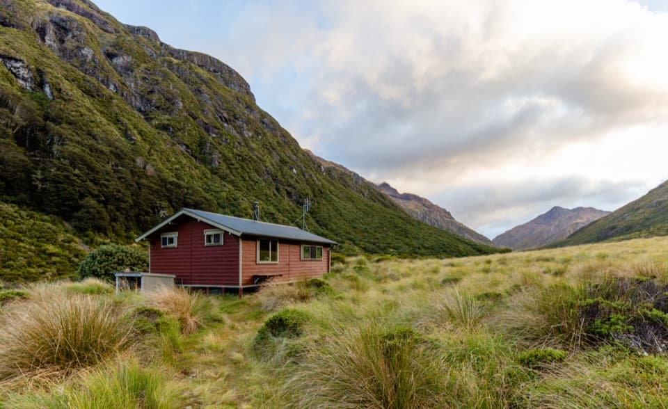
Arthur's Pass National Park, CB · WC
Unbridged crossings, rough sidles, and a hut tucked into open tussock.
Overview
Edwards Hut Track is a 9.5 km one-way tramp from Greyneys Shelter to the serviced hut in Edwards Valley. Walk the same line back for about 19 km (11.8 miles) total. The usual estimate is 4–6 hours each way, so a return in one day means roughly 8–12 hours walking, before stops or waiting for safe river levels. This is a remote, rough route, not a quick hut stroll. I’d make it an overnight if you want time at the hut without rushing the crossings. The hut has 16 bunks and must be booked; bring your own cooker and utensils even though there’s a log burner. Dogs and other pets are prohibited in the national park.
 Parkwolf’s verdictIs this the hut walk for you?
Map & elevation
Plan your hike

The highest, rockiest slopes around here are a summer buffet for grizzly bears.
Arthur's Pass Tour Guide
Parkwolf is a GPS audio tour guide for Arthur's Pass National Park. As you drive, it chimes in with what’s ahead: hidden gems, upcoming stops, history, geology, and wildlife, right through your car’s speakers.
Recorded for this trailhead
Greyneys Shelter and Old Coach Road“You're nearing Greyneys Shelter, where I'd stop for a gentle half-hour walk with a little road history. The Old Coach Road loop is just over a kilometre, through forest on part of the original coach route.”
Plays as you drive up to this trailhead in the Parkwolf Arthur's Pass Tour Guide.
More stories near here in the app
“Fantastic app with many points of information… It’s great to just turn on while you’re driving and it gives you an audio tour of the national Park. We love it!!!!”


Trail guide
From Greyneys Shelter car park, cross SH73 and go under the railway by the vehicle access track to the Bealey River. Ford it just upstream of the Mingha confluence. If this first crossing is not easy, turn around; the remaining crossings are no easier. Cross the Mingha/Edwards flow soon after and pick up the orange markers on the opposite bank. Channels shift, and the best place to ford can move, so markers are not a guarantee of a safe line. The marked track skirts the lower Edwards gorge for about 20 minutes before dropping back to the riverbed.
Follow the Edwards upstream along the true-left bank—left when you’re facing downstream. After about an hour in the riverbed, cross the Edwards River East Branch above its confluence. Look for the marked track about 100 metres up the branch on the opposite bank. This ford is difficult or dangerous at high flow. DOC markers may not point to the safest place to cross, so be ready to look for a safe line or turn back. Don’t attempt the route during or after heavy rain; the rivers can rise quickly.
After the East Branch, the track climbs and drops above the Edwards canyon, winding around steep gullies. Expect muddy ground, roots and rocks, with large drops beside some sections. It isn’t one steady climb; the repeated sidles make careful footing part of the day. Openings in the beech forest give glimpses toward waterfalls below.
Above the forest, the route reaches open flats of red tussock. The footpath winds through the grasses and is easy to lose, then briefly returns to forest before emerging on river flats with a clear view of Edwards Hut. Keep your map and markers in view through the tussock. This is the best place to frame a photo with the hut in the grass and the valley rising behind it.
From the hut, look up-valley toward the Polar Range, Falling Mountain and Taruahuna Pass. The large debris pile at Taruahuna Pass came from a Falling Mountain landslide triggered by the 1929 earthquake. The pass is beyond this walk: continuing from the hut leads into the separate expert Edwards–Hawdon route, not the hut-access return described here.
South Island robin, rifleman and tomtit are reported in the forest, and whio (blue duck) may be seen along fast water. Sightings are a bonus on a route where the river crossings and careful navigation deserve your attention first.
Wildlife
 982 sightingsKeaMost seen around noonSighting map
 39 sightingsNew Zealand FalconMost seen around 5 PMSighting map
 190 sightingsBlue DuckMost seen around 5 PMSighting map
 20 sightingsKākāMost seen around 8 AMSighting map
 15 sightingsWekaMost seen around 7 AMSighting map
 15 sightingsParadise ShelduckMost seen around 6 PMSighting map
Sighting maps show where each species has been reported across Arthur's Pass. Wildlife moves, so no sighting is guaranteed.
Keep exploring
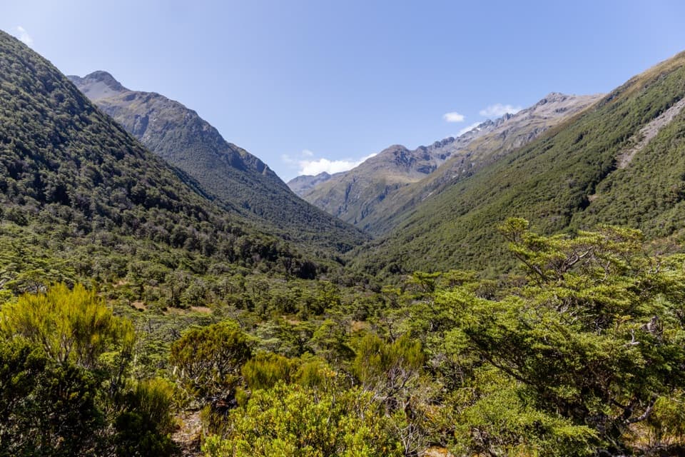 ChallengingMingha–Deception Route24 km · 14 hr · At the trailheadExpert tramping across Goat Pass between two wild river valleysChallengingGoat Pass Hut via Mingha Valley23 km · 12 hr · At the trailheadA demanding river and alpine tramp to Goat Pass Hut.
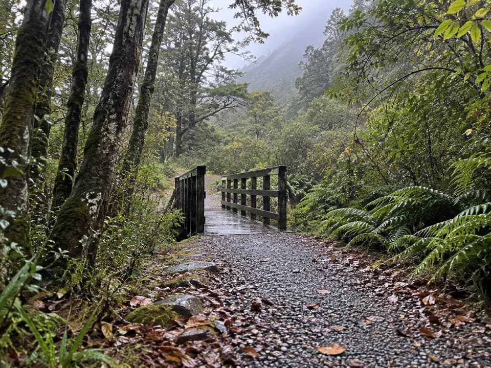 EasyOld Coach Road1.1 km · 30 min · At the trailheadA forest loop on the old coach road, with streams and stonework.
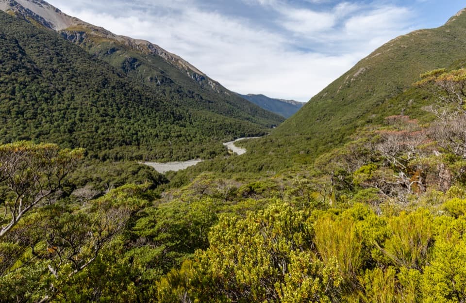 ChallengingEdwards–Hawdon Route30.7 km · 16 hr · 0.7 km awayA remote 2–3 day crossing over alpine passes, for expert trampers.
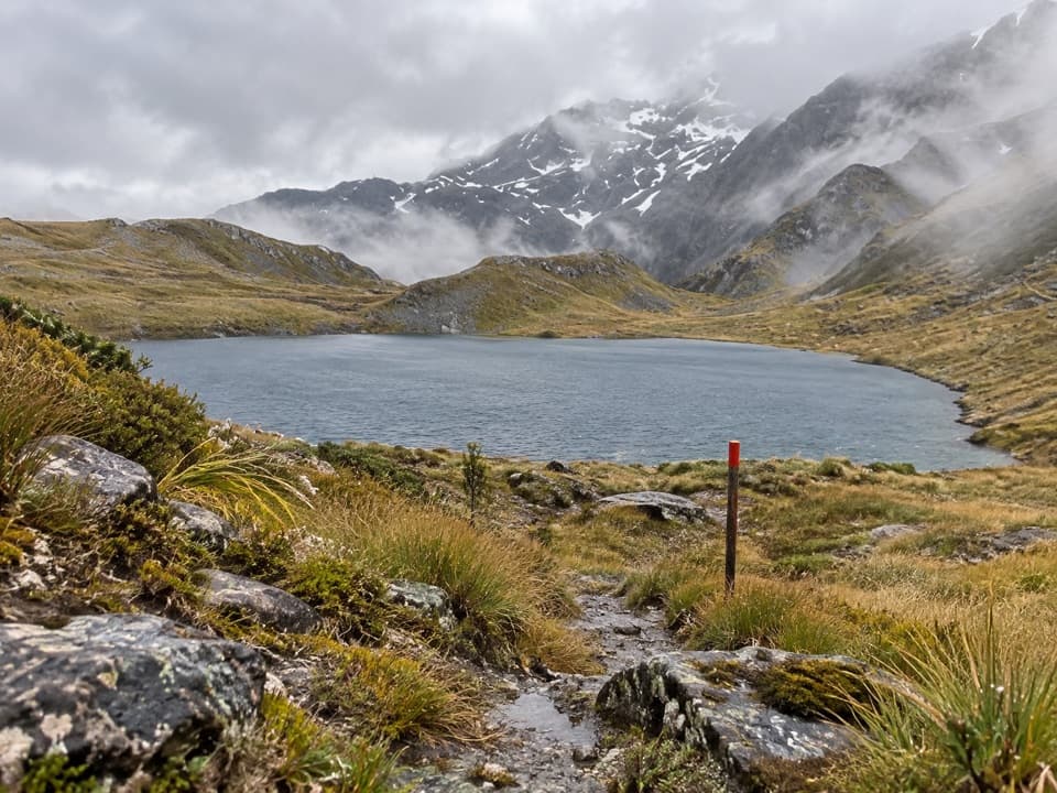 ChallengingThree Passes Route55.8 km · 1.1 days · 4.1 km awayA four-to-five-day expert crossing of three Southern Alps passes
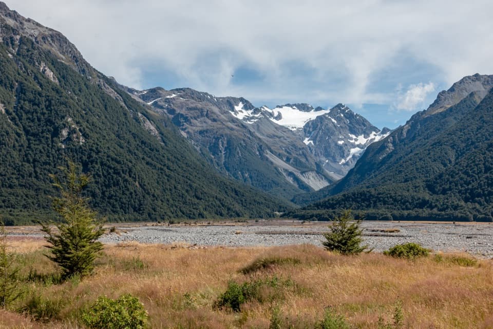 ModerateO’Malleys Track to Anti Crow Hut15.3 km · 6 hr · 4.1 km awayA full-day hut walk across open river flats to alpine views.
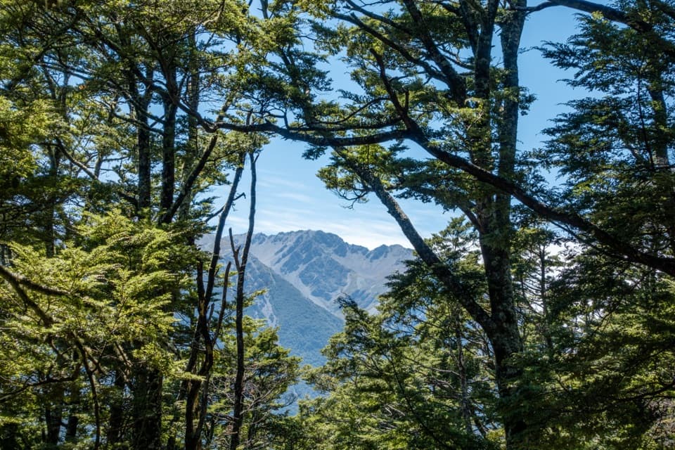 EasyO’Malleys Track4 km · 1.5 hr · 4.1 km awayBeech forest opens onto a broad fan beside the braided river
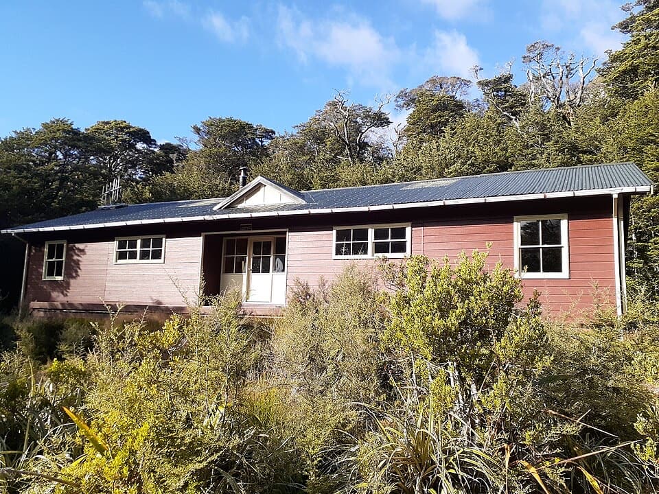 ChallengingCarrington Hut Route15.7 km · 6 hr · 4.1 km awayA remote hut route with expert river crossings and glacial valley views.
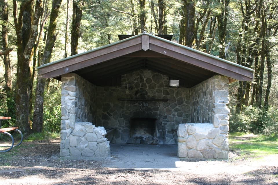 Picnic area · At the trailheadGreyneys ShelterA stone shelter marks a 30-minute walk on the old coach road.
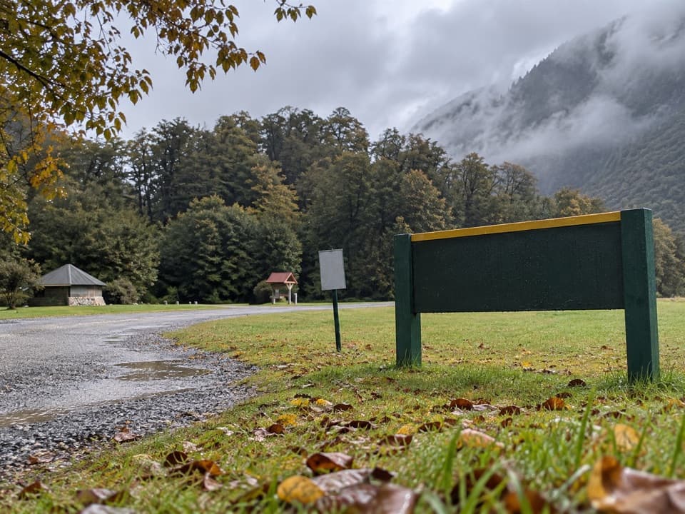 Campground · 2 km awayKlondyke Corner CampsiteRoom by two rivers, with quieter sites across the road.
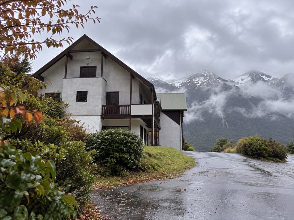 Lodging · 4.4 km awayThe Bealey HotelA mountain-view stay with a gold-rush coach-road story.
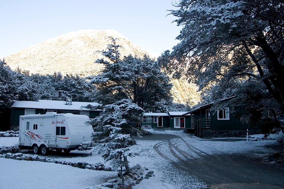 Lodging · 4.7 km awayArthur’s Pass Alpine MotelA practical base for park walks, with your own kitchen.
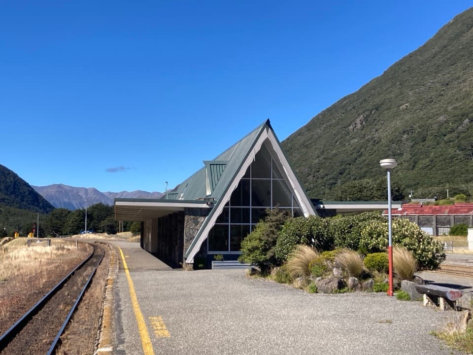 Sight · 4.9 km awayArthur’s Pass Railway StationStone walls, alpine peaks, and a century of rail travel.
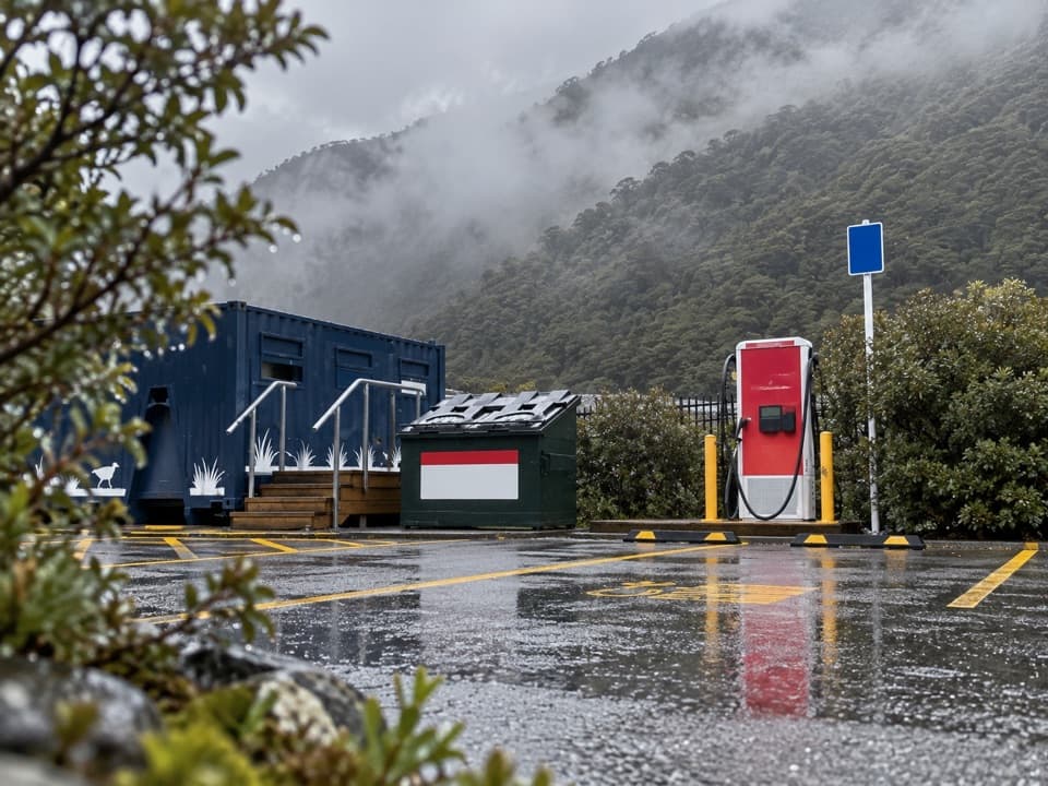 Gas station · 5.2 km awayArthur’s Pass EV Charging StationA useful top-up on the alpine crossing.
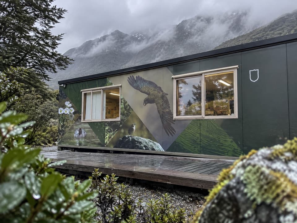 Visitor center · 5.3 km awayArthur’s Pass National Park Visitor CentreStart your mountain day with track and weather advice from the rangers.
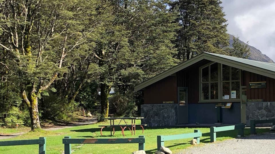 Campground · 5.3 km awayAvalanche Creek Shelter CampsiteA handy village base if you can live with freight trains.
Parkwolf’s Arthur's Pass ranking
The audio tour guide for the drive, plus offline maps, trails, and wildlife heatmaps for when the signal drops.





