Three Passes Route in Arthur's Pass National Park

Arthur's Pass National Park, CB · WC

Three Passes Route

A four-to-five-day expert crossing of three Southern Alps passes

Length
55.8km
Time
1.1days
Elev. change
1,398m
Difficulty
Challenging
  • No dogs
  • High point 1,498 m

Hear the audio tour

O'Malleys Track to Turkey Flat

Overview

About Three Passes Route

Why go

  • Three alpine passes make a genuine east-to-west traverse
  • High basins, historic huts, and river valleys change the feel of every stage

Heads up

  • Year-round snow, loose scree, and major unbridged fords demand expert judgment
  • Point-to-point transport and very small huts take careful planning
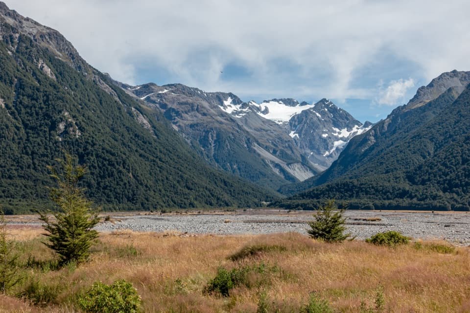
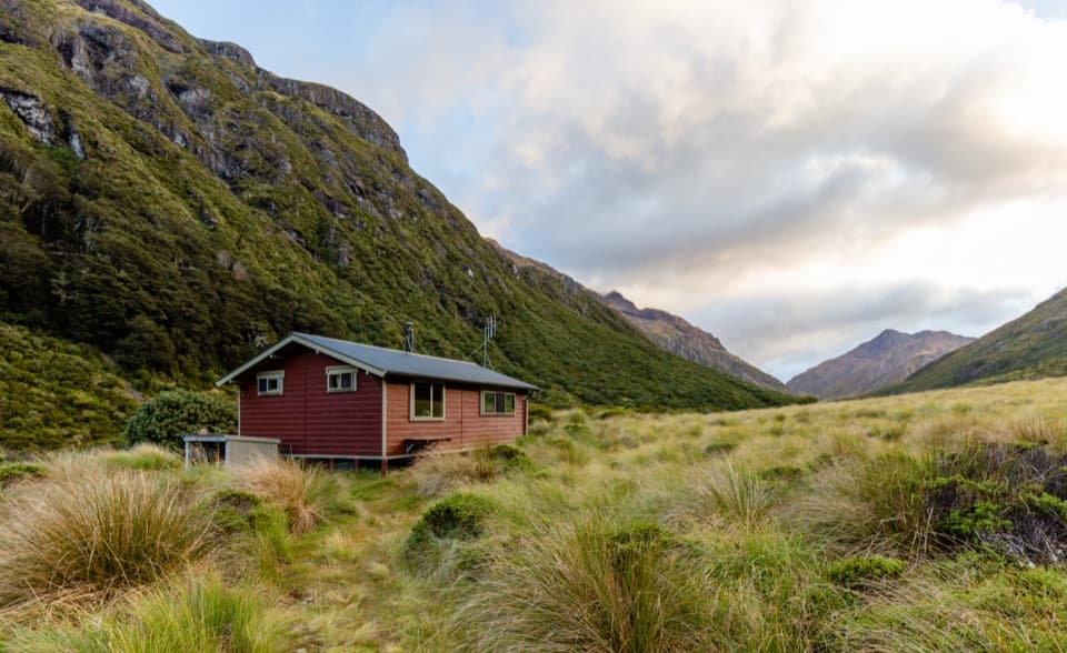
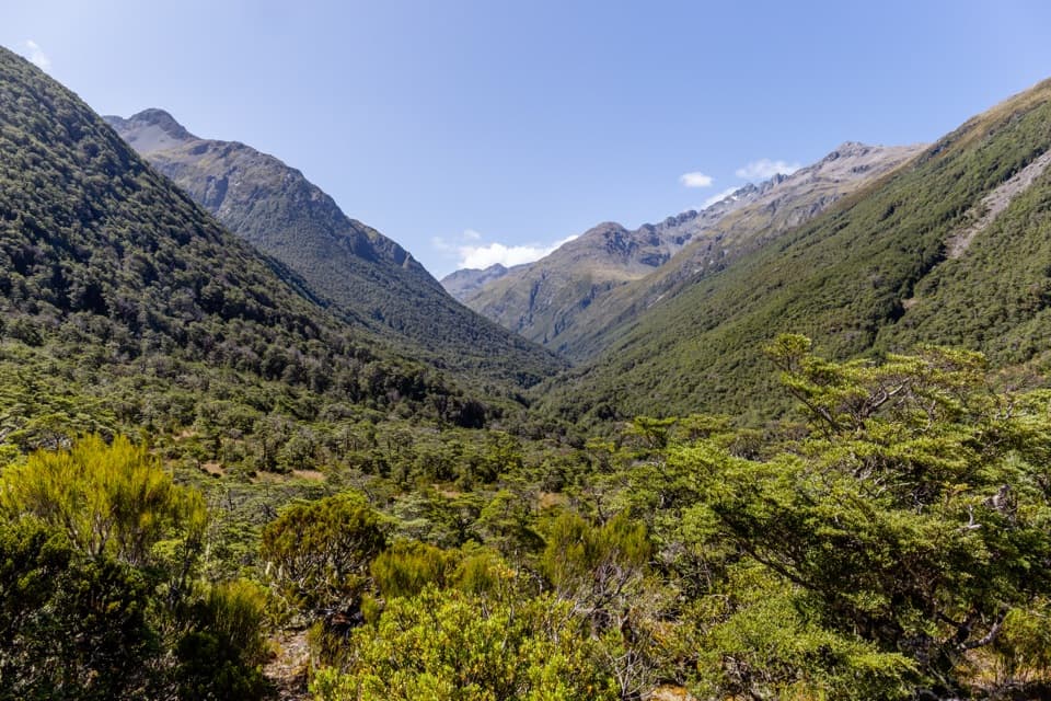
Three Passes Route is a 34.7-mile (55.8 km) east-to-west alpine traverse from the Waimakariri River bridge at Klondyke Corner to the Dorothy Falls Road access south of Lake Kaniere. It crosses Harman Pass (1,321 m), Whitehorn Pass (1,753 m), and Browning Pass / Noti Raureka (1,411 m). Plan four to five days and about 27 hours of walking spread across the stages, with roughly 2,200 m of cumulative ascent. This is an expert backcountry crossing, not a long maintained footpath: expect river fords, steep loose slopes, route-finding, year-round snow and ice at Whitehorn, and long gaps between small huts. Choose it only if you already have alpine-tramping and river-crossing experience. This record follows the Styx exit to Dorothy Falls Road; an Arahura exit is a separate trip with a different endpoint.
Parkwolf’s verdictIs this the crossing for you?

Map & elevation

The route

Loading the Arthur's Pass map
Full map
Elevation100–1,498 m
TrailheadWaimakariri River bridge, Klondyke Corner (SH73)-43.02094, 171.59694
Keep this map with you offline in the Parkwolf app

Plan your hike

Before you go

Parking

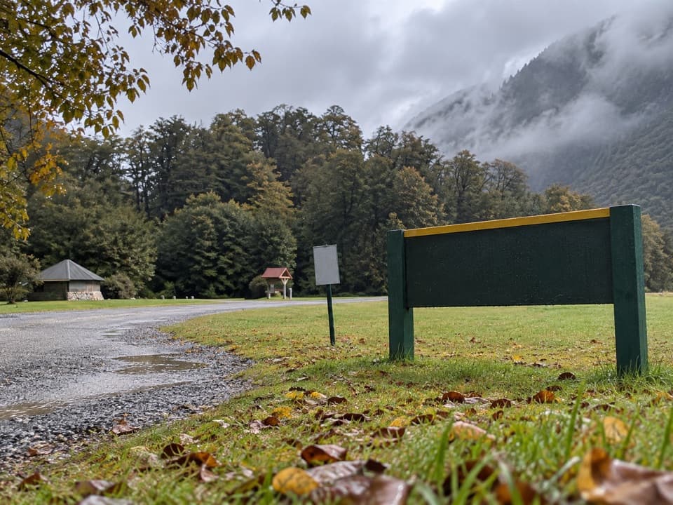
Start beside SH73 at the Waimakariri River bridge at Klondyke Corner, about 10 km east of Arthur’s Pass village. The one-way route exits at Dorothy Falls Road south of Lake Kaniere, so arrange a vehicle transfer between the ends. Parking capacity at either road end is not confirmed.

Best time to go

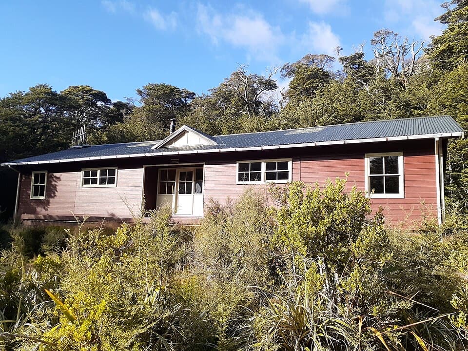
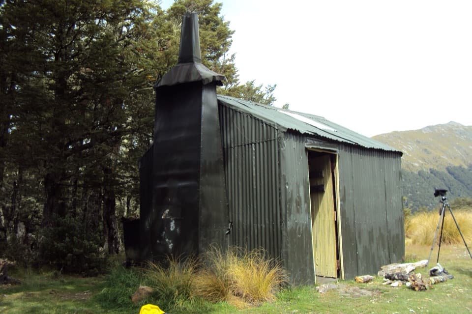
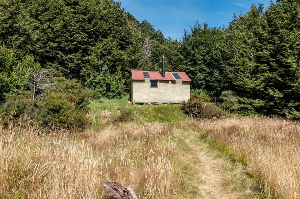
Carrington Hut has 36 bunks and requires a booking. Park Morpeth and Harman huts each have six bunks; Grassy Flat has ten, and the western huts are first come with hut tickets. Ariels Tarns is the only suitable camping site between Carrington and Park Morpeth, so carry a tent if you cannot rely on a bunk. Hut water is untreated and must be boiled or treated; pack food for the full crossing. DOC recommends mid-to-late summer, usually January or February; winter travel is unsuitable. Dogs are prohibited in the national park. Arrange a vehicle transfer between the road ends before setting out.

Safety

Expert alpine travel only. Whitehorn has year-round snow and ice with possible crevasses; steep loose scree, avalanche chutes, and unbridged river crossings add serious hazards. White River is crossable only at low flow. Boil or treat untreated hut water. No dogs.

2 active Arthur's Pass alerts

  • CautionFlood damage and rockfall risk on Harper Pass RouteFlood damage and an active slip affect the Harper Pass Route below Kiwi Hut and near Locke Stream Hut.Official details
  • CautionFlood damage on route to Sudden Valley BivvySignificant flood damage makes the route to Sudden Valley Bivvy passable only when rivers are low.Official details
Arthur's Pass alerts
A park ranger sits on a dash-mounted phone, talking, as Parkwolf’s Tour Guide plays “Army Cutworm Moths: A Grizzly Bear Buffet” on Grand Loop Road below Dunraven Pass in Yellowstone
Parkwolf Tour GuideThe highest, rockiest slopes around here are a summer buffet for grizzly bears.

Arthur's Pass Tour Guide

Your drive to Three Passes Route, narrated.

Parkwolf is a GPS audio tour guide for Arthur's Pass National Park. As you drive, it chimes in with what’s ahead: hidden gems, upcoming stops, history, geology, and wildlife, right through your car’s speakers.

Recorded for this trailhead

O'Malleys Track to Turkey Flat
0:00 / 0:25
“Up ahead is the start of O'Malleys Track, a walk into the wide Waimakariri valley. Allow about ninety minutes for the four-kilometre return to Turkey Flat, through beech forest to open gravel and scrub.”

Plays as you drive up to this trailhead in the Parkwolf Arthur's Pass Tour Guide.

More stories near here in the app

  • The Bealey Hotel
  • Klondyke Corner Campsite
  • The Knowledge Behind Arthur’s Pass
  • Bealey Spur Track and Hut
  • 42 audio storiesacross Arthur's Pass’s roads, triggered by GPS as you drive
  • Wildlife heatmapsfor Kea, New Zealand Falcon, Blue Duck, and 13 more
  • Works offlinemaps, 49 trails, 59 places, and audio download before you lose signal
  • CarPlay readysimple controls built for the drive
★★★★★
“Fantastic app with many points of information… It’s great to just turn on while you’re driving and it gives you an audio tour of the national Park. We love it!!!!”
JMJamesApp Store review
Download Parkwolf on the App StoreGet Parkwolf on Google Play

4.7 from 8,600+ ratings

Trail guide

Hiking Three Passes Route

From the Waimakariri to HarmanFrom the SH73 bridge, follow river flats to Carrington Hut, a four-to-five-hour stage.

From the SH73 bridge, follow river flats to Carrington Hut, a four-to-five-hour stage. The next leg follows Taipoiti Stream toward Harman Pass. White River is an unbridged ford: its cableway has been removed, and it is crossable only at low flow. On the climb, stay with the marked line to Ariels Tarns and keep to the route around rocky shelves above Mary Creek. The line toward Julia Hut is a different route and an easy wrong turn once the basin opens.

Whitehorn is the cruxAbove Harman Pass, poles lead over rocky shelves and stop before the permanent snow and ice at…

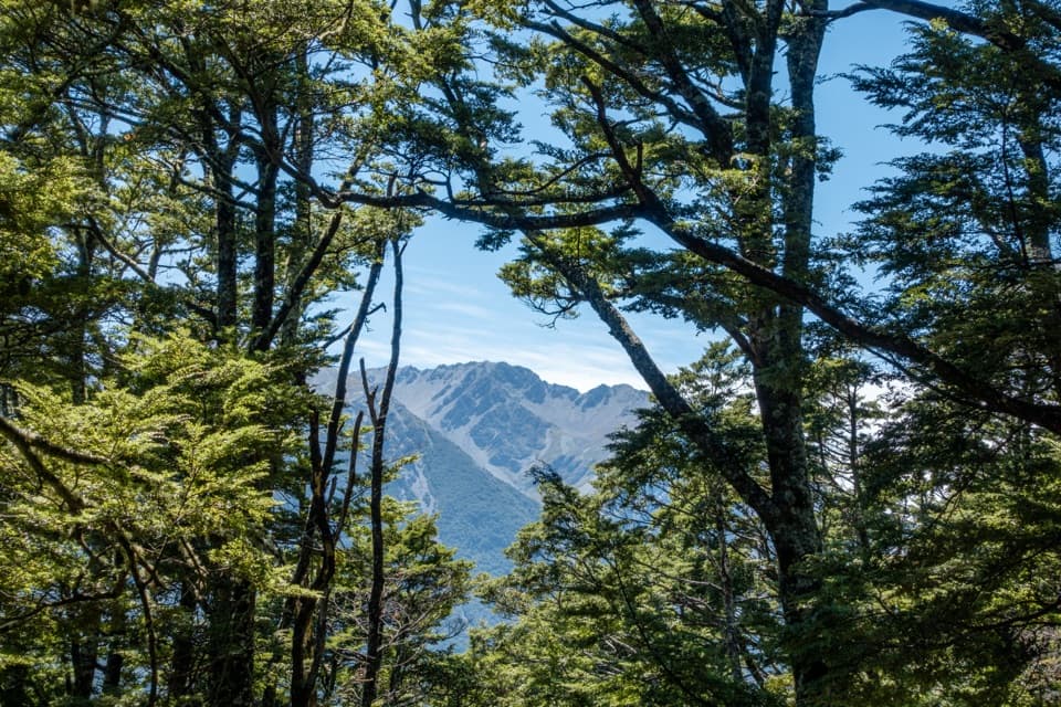
Above Harman Pass, poles lead over rocky shelves and stop before the permanent snow and ice at Whitehorn. Cloud can hide the pass, and the ice may be crevassed; carry and know how to use crampons and an ice axe. The western descent is steep, loose scree, zigzagging from the true left through bluffs. Find the markers before Cronin Stream reaches its gorge, then follow the route to a boggy terrace dotted with tarns and Park Morpeth Hut. Skirt the tarns to protect the fragile bog.

Over Wilberforce to Lake BrowningFrom Park Morpeth, head upriver and cross Wilberforce after Hall Creek joins it, near the…

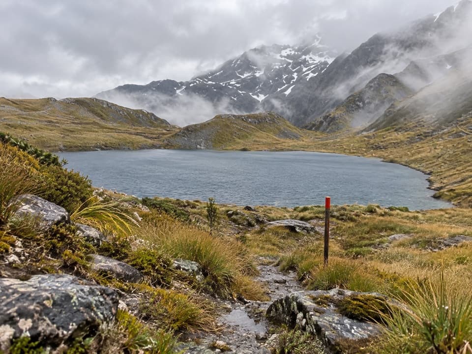
From Park Morpeth, head upriver and cross Wilberforce after Hall Creek joins it, near the Clough Memorial. The river can look manageable at low flow but becomes dangerous after heavy rain. Browning Pass is the route's steepest climb: old zigzags rise through loose scree and tussock, gaining about 500 m before the saddle. Lake Browning / Whakarewa lies just beyond the pass. For a route-specific photo, frame the blue lake with an orange route marker and rough tread in the foreground.

Down the Arahura and Styx valleysFrom the lake, skirt the western shore to the marked descent into the Arahura headwaters.

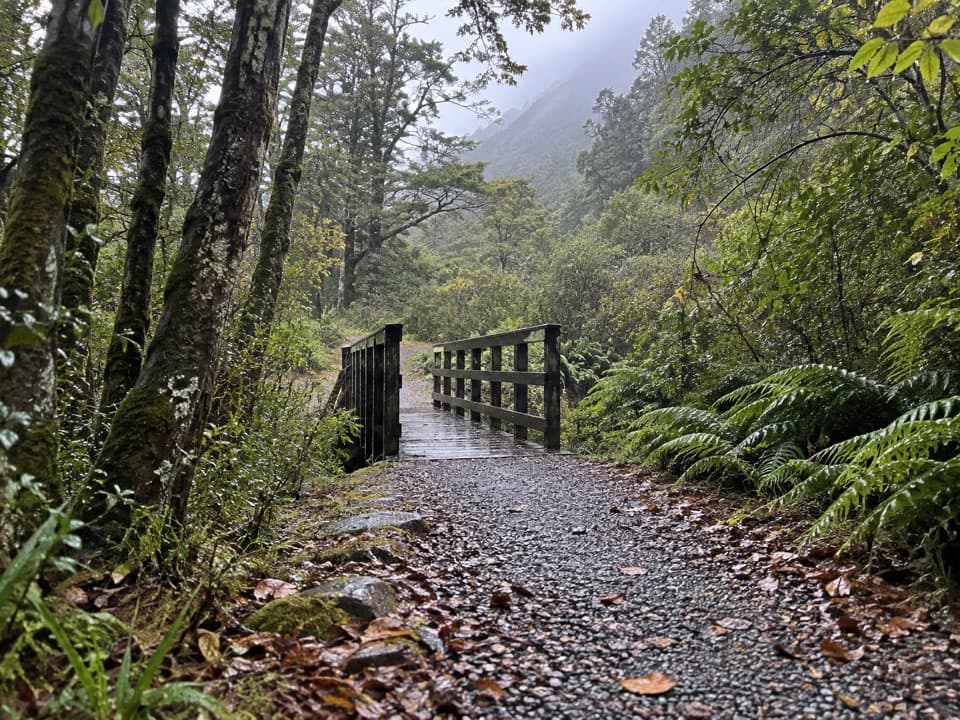
From the lake, skirt the western shore to the marked descent into the Arahura headwaters. The route drops through rocky creek beds to Harman Hut, then crosses the Arahura to a benched track on the true right. Three avalanche chutes cross that bench, with a recurring hazard period from late July into November. Beyond a swingbridge, the track climbs over wet, boggy Styx Saddle and descends through forest where moss and lichen make rocks slippery. Continue via Grassy Flat for the long valley finish to Dorothy Falls Road.

The route's memorialsPark Morpeth Hut remembers James Park and John Morpeth, who died in 1929 while tramping from…

Park Morpeth Hut remembers James Park and John Morpeth, who died in 1929 while tramping from Lake Kaniere toward Wilberforce. Clough Memorial commemorates Allan Clough, a 16-year-old tramper who drowned at the river in 1956. Browning's zigzags began as part of a late-1860s goldfields route, and the western valley benches were built during the gold-mining era.

Wildlife

Wildlife in Arthur's Pass

All Arthur's Pass wildlife maps

Sighting maps show where each species has been reported across Arthur's Pass. Wildlife moves, so no sighting is guaranteed.

Keep exploring

Near Three Passes Route

See it all on the map

Trails that start nearby

Places near the trailhead

Parkwolf’s Arthur's Pass ranking

Top-rated trails in Arthur's Pass

All 49 trails
  1. 1Devils Punchbowl Walking TrackModerate · 2 km
  2. 2Avalanche Peak RouteChallenging · 6.8 km
  3. 3Bealey Spur TrackModerate · 12 km
  4. 4Arthur’s Pass Walking TrackModerate · 6.8 km
  5. 5Otira Valley TrackModerate · 3.4 km
  6. 6Scotts Track to Avalanche PeakChallenging · 7.1 km

Take Parkwolf to Arthur's Pass.

The audio tour guide for the drive, plus offline maps, trails, and wildlife heatmaps for when the signal drops.

4.7 from 8,600+ ratings

Download Parkwolf on the App StoreGet Parkwolf on Google Play