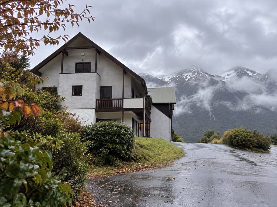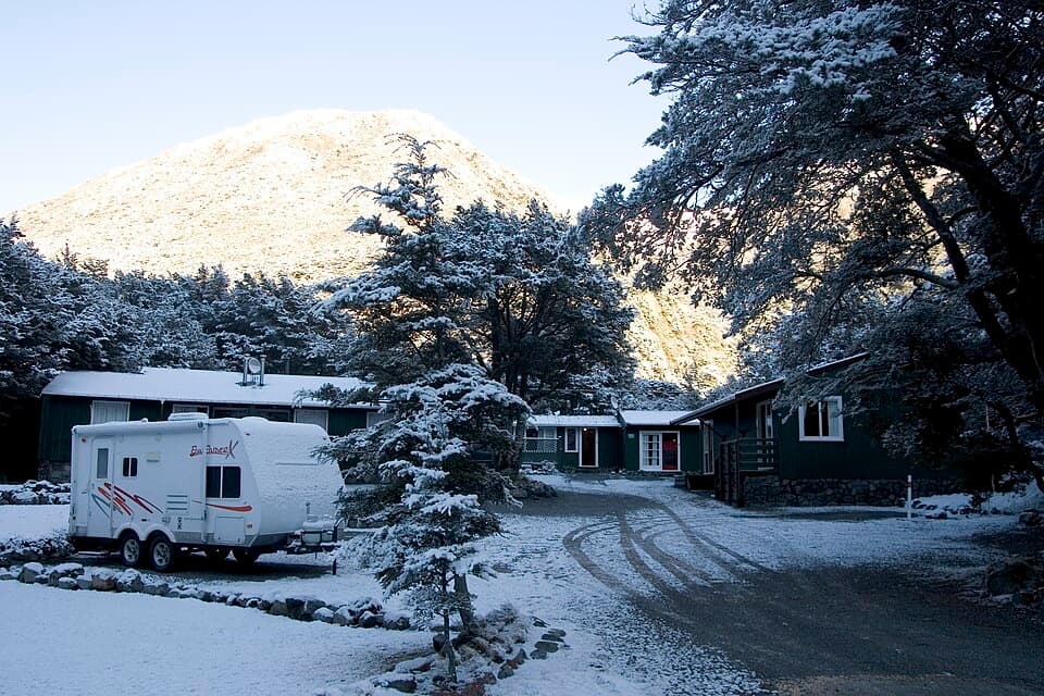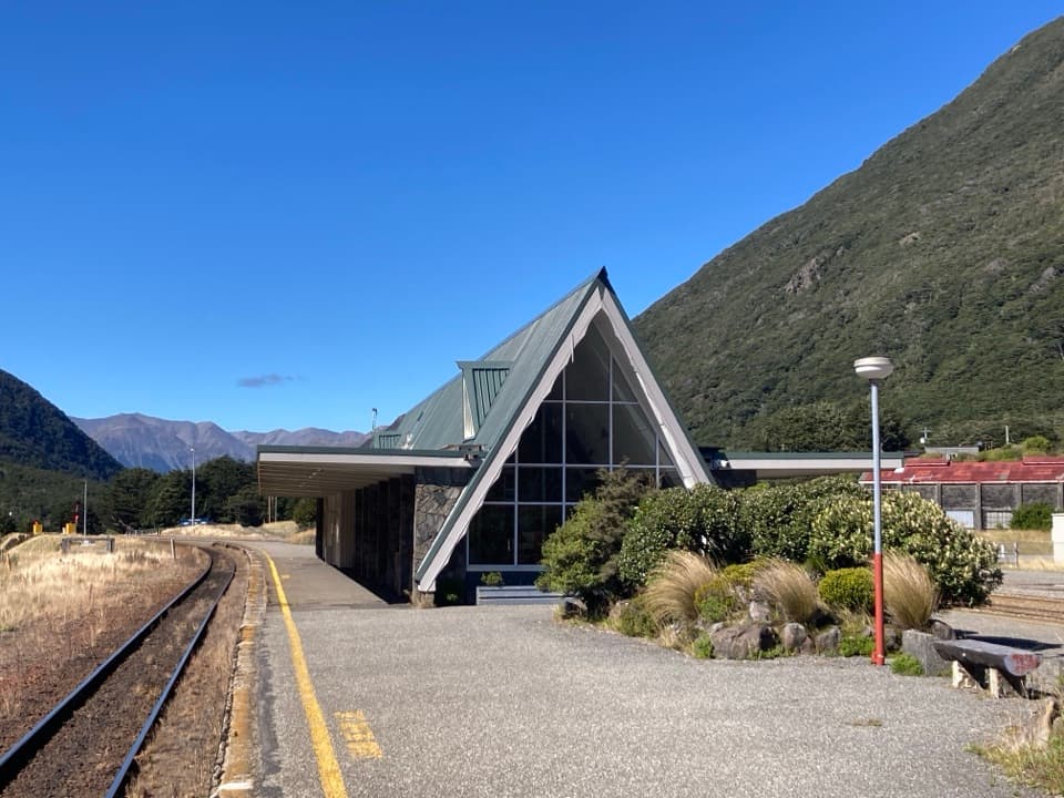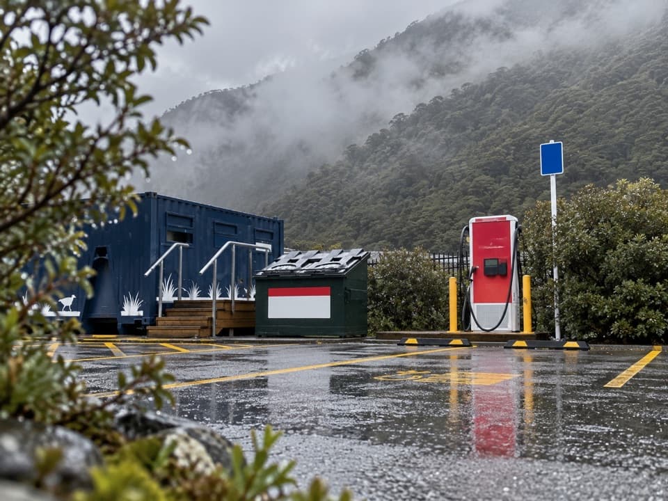
Greyneys Shelter in Arthur's Pass National Park

Picnic area · Arthur's Pass National Park

Greyneys Shelter

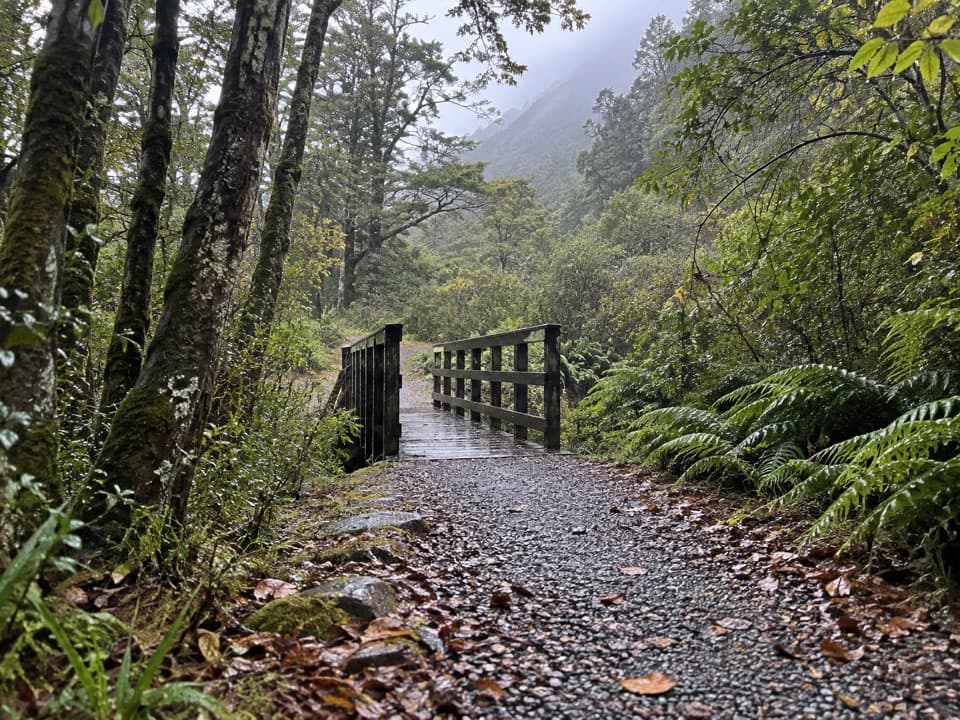
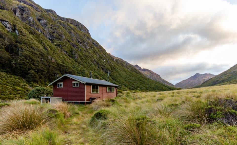
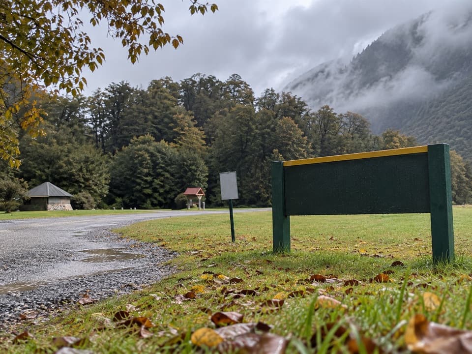
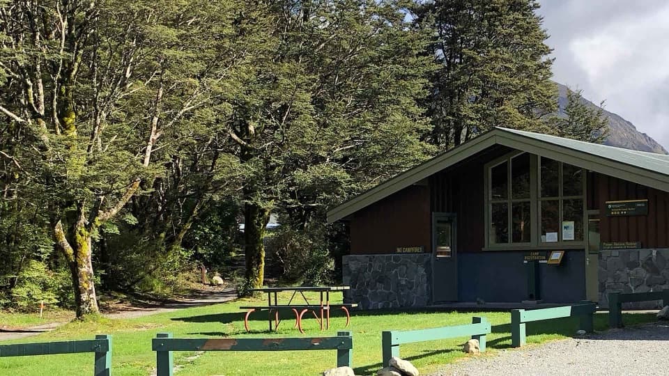
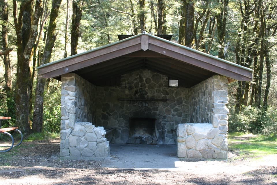
A stone shelter marks a 30-minute walk on the old coach road.

Photo: Wikimedia Commons
Type
Picnic area
Nearest trail
Right here
Audio stories
4 nearby
  • Parking
  • Pullout
  • Picnic tables

Hear the audio tour

Greyneys Shelter and Old Coach Road

Overview

About Greyneys Shelter

Why stop

  • The short loop still shows old coach-road rock walls.

Heads up

  • Right beside SH 73, with a roadside rather than secluded feel.

Map

Where it is

Loading the Arthur's Pass map
Full map
Picnic areaGreyneys Shelter-42.98425, 171.59032
Keep this map with you offline in the Parkwolf app

Plan your stop

Before you go

2 active Arthur's Pass alerts

  • CautionFlood damage and rockfall risk on Harper Pass RouteFlood damage and an active slip affect the Harper Pass Route below Kiwi Hut and near Locke Stream Hut.Official details
  • CautionFlood damage on route to Sudden Valley BivvySignificant flood damage makes the route to Sudden Valley Bivvy passable only when rivers are low.Official details

Arthur's Pass alerts
A park ranger sits on a dash-mounted phone, talking, as Parkwolf’s Tour Guide plays “Army Cutworm Moths: A Grizzly Bear Buffet” on Grand Loop Road below Dunraven Pass in Yellowstone
Parkwolf Tour GuideThe highest, rockiest slopes around here are a summer buffet for grizzly bears.

Arthur's Pass Tour Guide

Your drive to Greyneys Shelter, narrated.

Parkwolf is a GPS audio tour guide for Arthur's Pass National Park. As you drive, it chimes in with what’s ahead: hidden gems, upcoming stops, history, geology, and wildlife, right through your car’s speakers.

Recorded for this place

Greyneys Shelter and Old Coach Road
0:00 / 0:25
“You're nearing Greyneys Shelter, where I'd stop for a gentle half-hour walk with a little road history. The Old Coach Road loop is just over a kilometre, through forest on part of the original coach route.”

Plays as you drive up to Greyneys Shelter in the Parkwolf Arthur's Pass Tour Guide.

More stories near here in the app

  • Klondyke Corner Campsite
  • Spotting a Young Kea
  • The Knowledge Behind Arthur’s Pass
  • O'Malleys Track to Turkey Flat
  • 42 audio storiesacross Arthur's Pass’s roads, triggered by GPS as you drive
  • Wildlife heatmapsfor Kea, New Zealand Falcon, Blue Duck, and 13 more
  • Works offlinemaps, 49 trails, 59 places, and audio download before you lose signal
  • CarPlay readysimple controls built for the drive
★★★★★
“Fantastic app with many points of information… It’s great to just turn on while you’re driving and it gives you an audio tour of the national Park. We love it!!!!”
JMJamesApp Store review
Download Parkwolf on the App StoreGet Parkwolf on Google Play

4.7 from 8,600+ ratings

Guide

More about Greyneys Shelter

A practical stop on the highwayGreyneys Shelter is a small, open-front stone shelter beside State Highway 73, about 6 km east…

Greyneys Shelter is a small, open-front stone shelter beside State Highway 73, about 6 km east of Arthur’s Pass Village. The Old Coach Road loop starts and finishes nearby, making this a handy place to stretch your legs; the shelter itself isn’t a viewpoint. Plan for day use: overnight freedom camping isn’t permitted here.

A short forest loopThe easy Old Coach Road walk is 1.1 km and about 30 minutes return.

The easy Old Coach Road walk is 1.1 km and about 30 minutes return. It follows a gently graded stretch of the century-old road, then returns on a newer track. DOC says the walk suits all-terrain baby buggies, but dogs aren’t allowed. It’s a good leg-stretcher, with more history than big scenery.

Look for the old rock wallsThe coach road was cut into the hillside to avoid the flood-prone Bealey riverbed.

The coach road was cut into the hillside to avoid the flood-prone Bealey riverbed. Sections of its old rock walling still show along the forest track, among the few visible reminders of the original route through the pass.

Wildlife

Wildlife in Arthur's Pass

All Arthur's Pass wildlife maps

Sighting maps show where each species has been reported across Arthur's Pass. Wildlife moves, so no sighting is guaranteed.

Keep exploring

Near Greyneys Shelter

See it all on the map

Trails nearby

More stops nearby

Parkwolf’s Arthur's Pass ranking

Top sights in Arthur's Pass

All 59 places
  1. 1Devils Punchbowl FallsSight
  2. 2Ōtira Viaduct LookoutSight
  3. 3Avalanche PeakSight
  4. 4Jacks HutSight
  5. 5Arthur’s Pass ChapelSight
  6. 6Ōtira Gorge Rock Shelter LookoutSight

Take Parkwolf to Arthur's Pass.

The audio tour guide for the drive, plus offline maps, trails, and wildlife heatmaps for when the signal drops.

4.7 from 8,600+ ratings

Download Parkwolf on the App StoreGet Parkwolf on Google Play