Parking
O’Malleys Track car park on SH73 at the Christchurch end of Bealey Bridge. The access entrance is on a sharp bend.
Arthur's Pass National Park, CB · WC
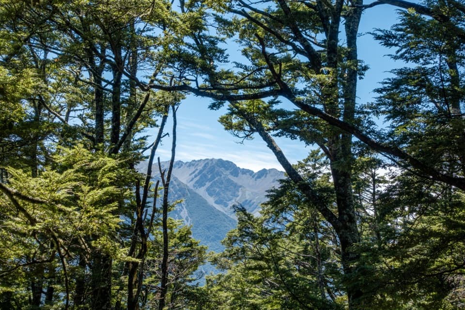
Beech forest opens onto a broad fan beside the braided river
Overview
Map & elevation
Plan your hike

The highest, rockiest slopes around here are a summer buffet for grizzly bears.
Arthur's Pass Tour Guide
Parkwolf is a GPS audio tour guide for Arthur's Pass National Park. As you drive, it chimes in with what’s ahead: hidden gems, upcoming stops, history, geology, and wildlife, right through your car’s speakers.
Recorded for this trailhead
O'Malleys Track to Turkey Flat“Up ahead is the start of O'Malleys Track, a walk into the wide Waimakariri valley. Allow about ninety minutes for the four-kilometre return to Turkey Flat, through beech forest to open gravel and scrub.”
Plays as you drive up to this trailhead in the Parkwolf Arthur's Pass Tour Guide.
More stories near here in the app
“Fantastic app with many points of information… It’s great to just turn on while you’re driving and it gives you an audio tour of the national Park. We love it!!!!”


Trail guide
O’Malleys Track is a 2 km one-way out-and-back from Bealey Bridge to Turkey Flat, so plan for 4 km return and about 1.5 hours. It’s a short way into the Waimakariri valley: a forest sidle above the river, then an open alluvial fan at Jordan Stream. This is the Turkey Flat walk, not the longer overnight route that continues upstream.
The track climbs at first, then sidles along Bealey Spur through mountain beech. Openings give you views over the Waimakariri’s braided channels and swampy valley margins. Near the end the forest thins and the path drops to Turkey Flat, a broad fan of gravel and scrubby matagouri formed by Jordan Stream. The fan and the shifting river channels are the payoff; look back toward the spur from the open ground to see how the forested slope meets the wide valley.
Use the O’Malleys Track car park at the Christchurch end of Bealey Bridge on SH73; its entrance is on a sharp bend. DOC lists 2 km to Turkey Flat, while an older local account describes about 3 km for the named walk. The saved route follows the official Turkey Flat turnaround, and the longer track continues beyond it. Dogs are not allowed in Arthur’s Pass National Park. A side stream about halfway can rise after significant rain; the continuation beyond Turkey Flat involves more serious river crossings, so don’t treat this short walk as a hut route.
Wildlife
 982 sightingsKeaMost seen around noonSighting map
 39 sightingsNew Zealand FalconMost seen around 5 PMSighting map
 190 sightingsBlue DuckMost seen around 5 PMSighting map
 20 sightingsKākāMost seen around 8 AMSighting map
 15 sightingsWekaMost seen around 7 AMSighting map
 15 sightingsParadise ShelduckMost seen around 6 PMSighting map
Sighting maps show where each species has been reported across Arthur's Pass. Wildlife moves, so no sighting is guaranteed.
Keep exploring
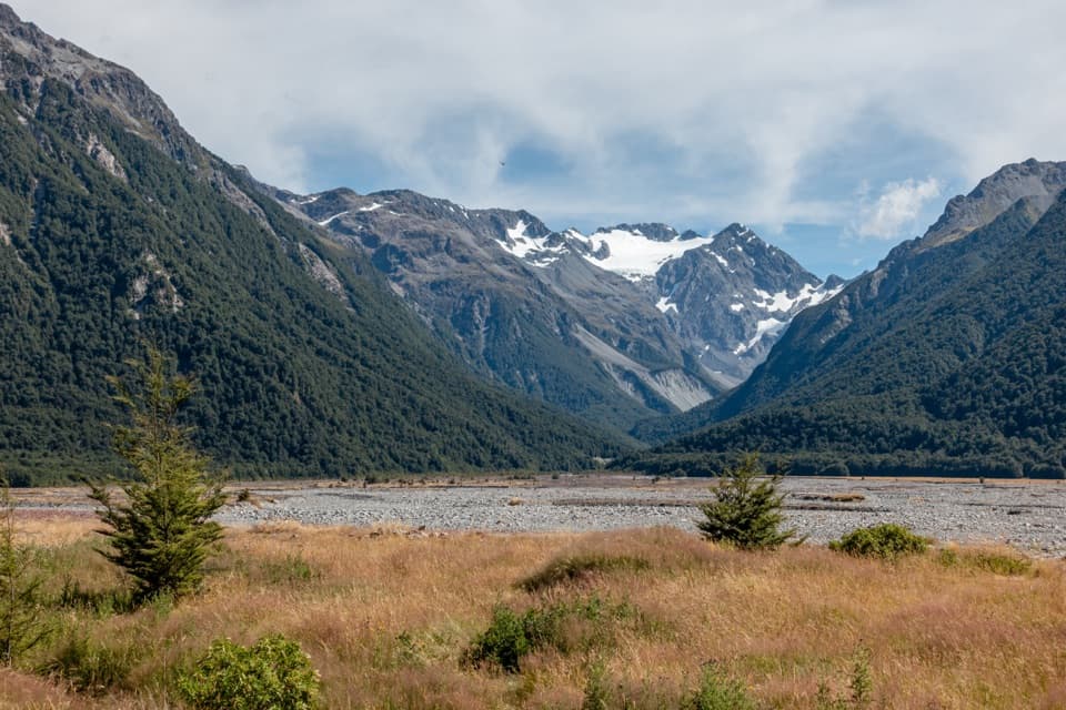 ModerateO’Malleys Track to Anti Crow Hut15.3 km · 6 hr · At the trailheadA full-day hut walk across open river flats to alpine views.
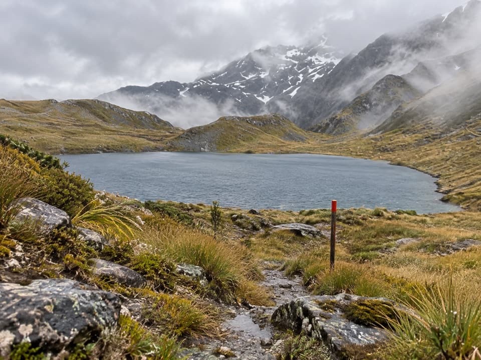 ChallengingThree Passes Route55.8 km · 1.1 days · At the trailheadA four-to-five-day expert crossing of three Southern Alps passes
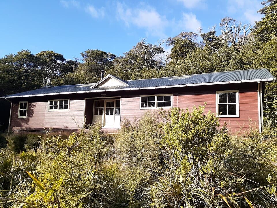 ChallengingCarrington Hut Route15.7 km · 6 hr · At the trailheadA remote hut route with expert river crossings and glacial valley views.
 ModerateBealey Spur Track12 km · 4.5 hr · 2.8 km awayA steady hut walk with wide Waimakariri Valley views
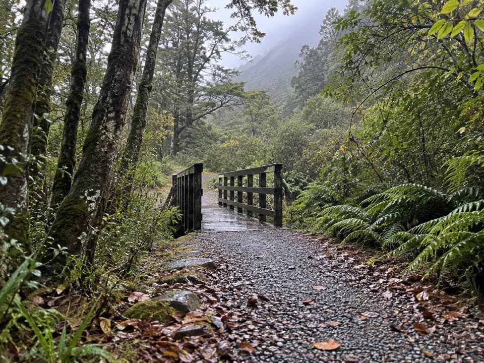 EasyOld Coach Road1.1 km · 30 min · 4.1 km awayA forest loop on the old coach road, with streams and stonework.
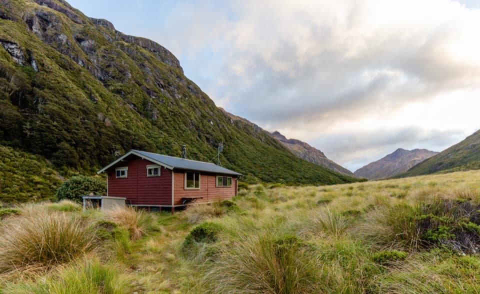 ChallengingEdwards Hut Track19 km · 10 hr · 4.1 km awayUnbridged crossings, rough sidles, and a hut tucked into open tussock.
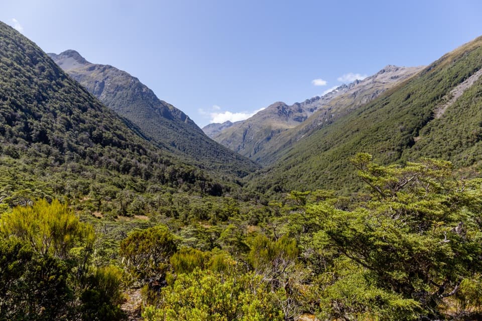 ChallengingMingha–Deception Route24 km · 14 hr · 4.1 km awayExpert tramping across Goat Pass between two wild river valleysChallengingGoat Pass Hut via Mingha Valley23 km · 12 hr · 4.1 km awayA demanding river and alpine tramp to Goat Pass Hut.
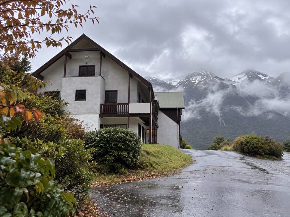 Lodging · 1.1 km awayThe Bealey HotelA mountain-view stay with a gold-rush coach-road story.
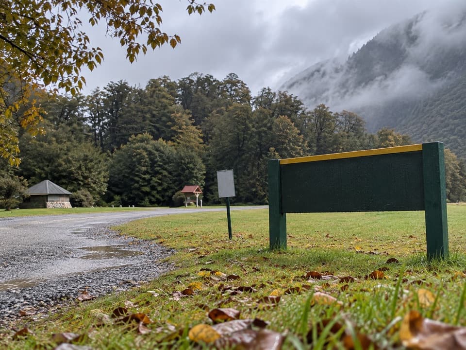 Campground · 2.2 km awayKlondyke Corner CampsiteRoom by two rivers, with quieter sites across the road.
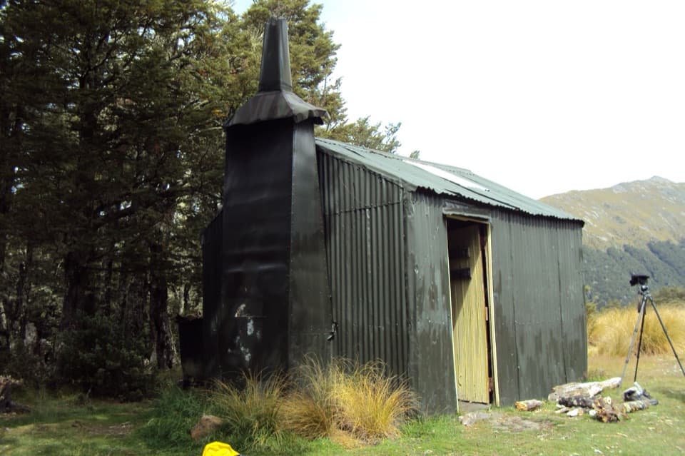 Lodging · 2.6 km awayBealey Spur HutA 1925 mustering hut at the end of a gradual mountain walk.
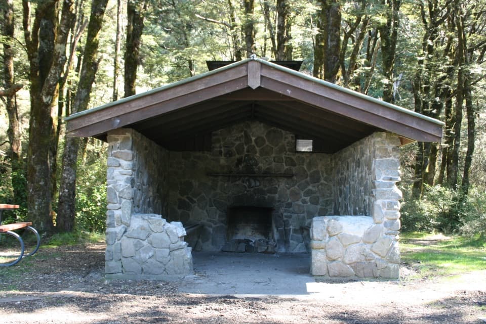 Picnic area · 4.1 km awayGreyneys ShelterA stone shelter marks a 30-minute walk on the old coach road.
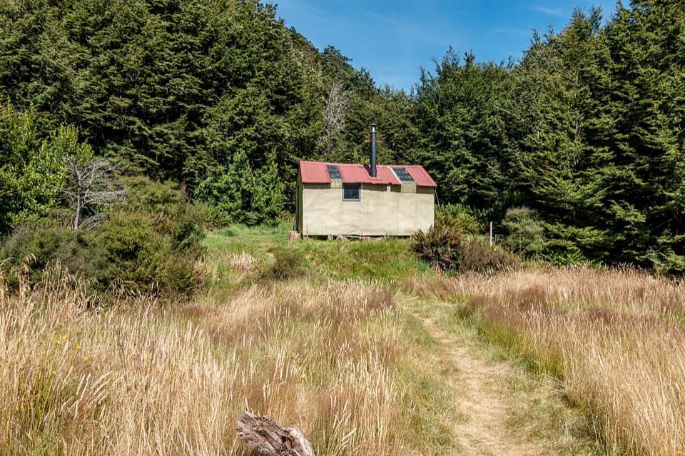 Lodging · 7.3 km awayAnti Crow HutBook ahead for an eight-bunk hut beyond Jordan Stream.
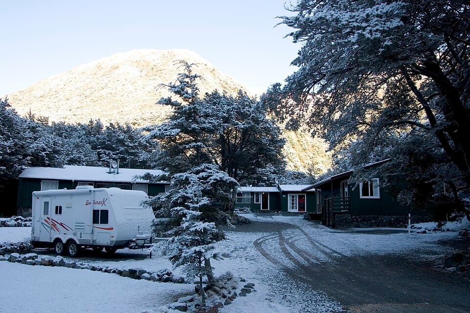 Lodging · 8.7 km awayArthur’s Pass Alpine MotelA practical base for park walks, with your own kitchen.
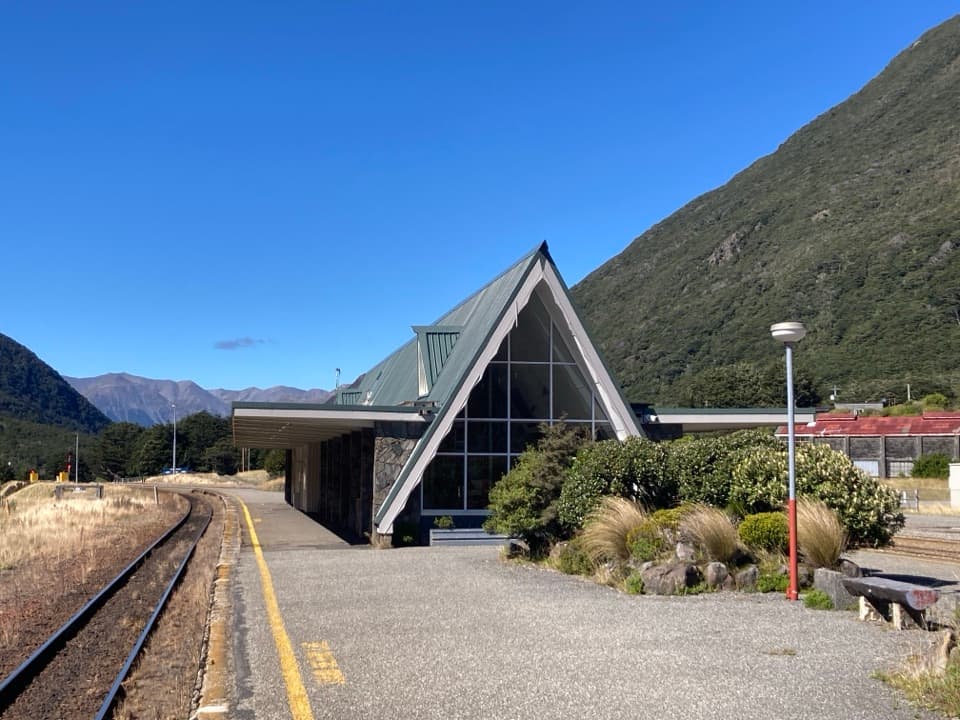 Sight · 8.9 km awayArthur’s Pass Railway StationStone walls, alpine peaks, and a century of rail travel.
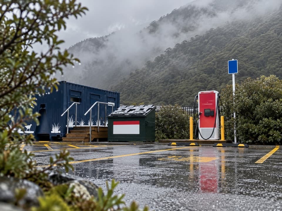 Gas station · 9.2 km awayArthur’s Pass EV Charging StationA useful top-up on the alpine crossing.
Parkwolf’s Arthur's Pass ranking

The audio tour guide for the drive, plus offline maps, trails, and wildlife heatmaps for when the signal drops.




