Goat Pass Hut via Mingha Valley in Arthur's Pass National Park

Arthur's Pass National Park, CB · WC

Goat Pass Hut via Mingha Valley

A demanding river and alpine tramp to Goat Pass Hut.

Photo: Wikimedia Commons
Length
23km
Time
12hr
Elev. change
426m
Difficulty
Challenging
  • No dogs
  • High point 1,083 m
  • #24 of 49 in Arthur's Pass

Hear the audio tour

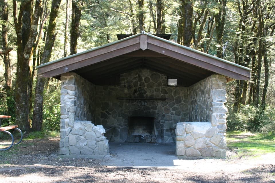
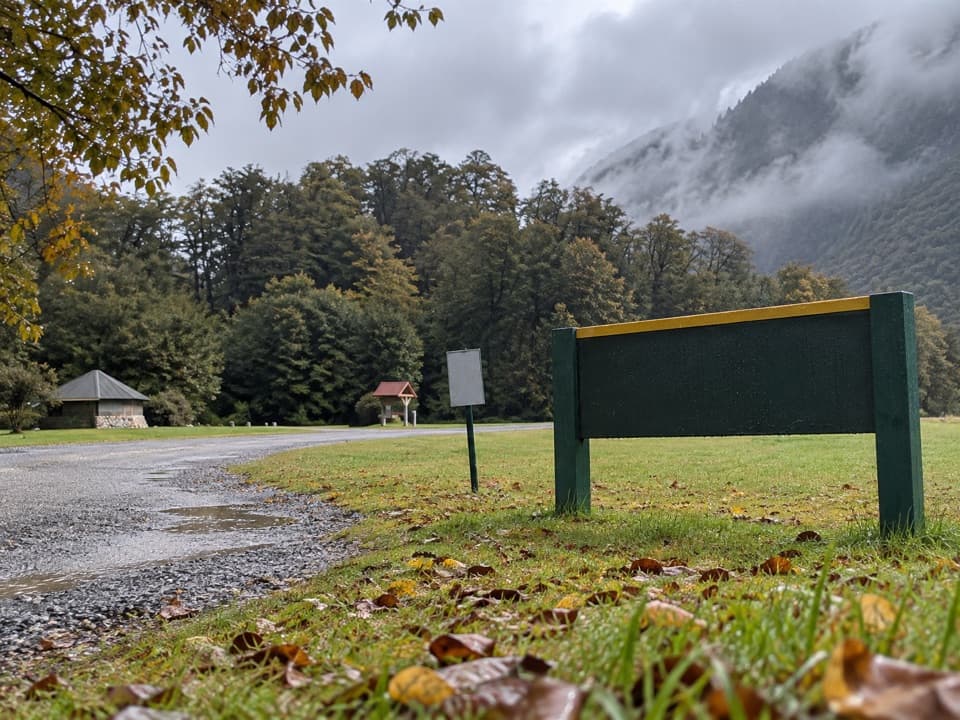
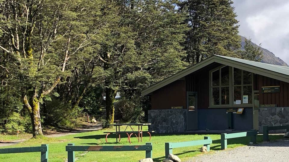
Greyneys Shelter and Old Coach Road

Overview

About Goat Pass Hut via Mingha Valley

Why go

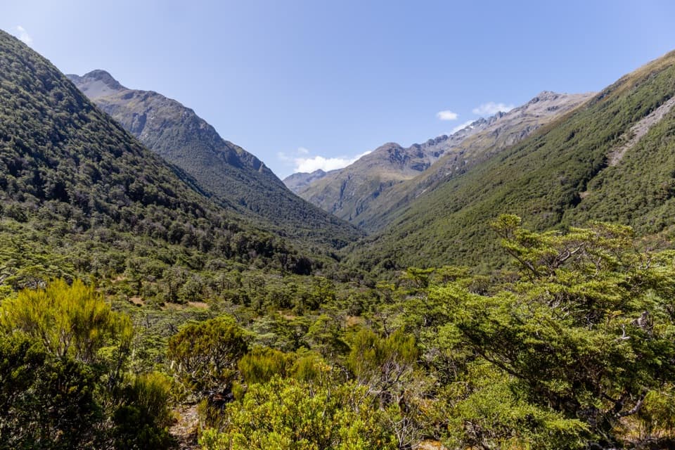
  • Dudley Knob opens a long view down Mingha Valley.
  • Boardwalk carries the boggy ground near Goat Pass.

Heads up

  • Unbridged river crossings can change or stop the route.
  • The remote return is a very long day for most hikers.
Goat Pass Hut via Mingha Valley is a remote out-and-back from Greyneys Shelter to a 20-bunk hut just north of Goat Pass, at 1,070 m. Plan around 23 km return and roughly 10–12 hours on foot before long stops or river delays. Published distances vary from 20 to 23 km return, so use the longer figure when judging the day. This is an expert backcountry tramp for well-equipped people with previous experience and confident river-crossing skills. The route turns around at the hut; continuing down the Deception Valley is a separate crossing.
Parkwolf’s verdictIs this the hut walk for you?

Map & elevation

The route

Loading the Arthur's Pass map
Full map
Elevation657–1,083 m
TrailheadGreyneys Shelter-42.98421, 171.59030
Keep this map with you offline in the Parkwolf app

Plan your hike

Before you go

Parking

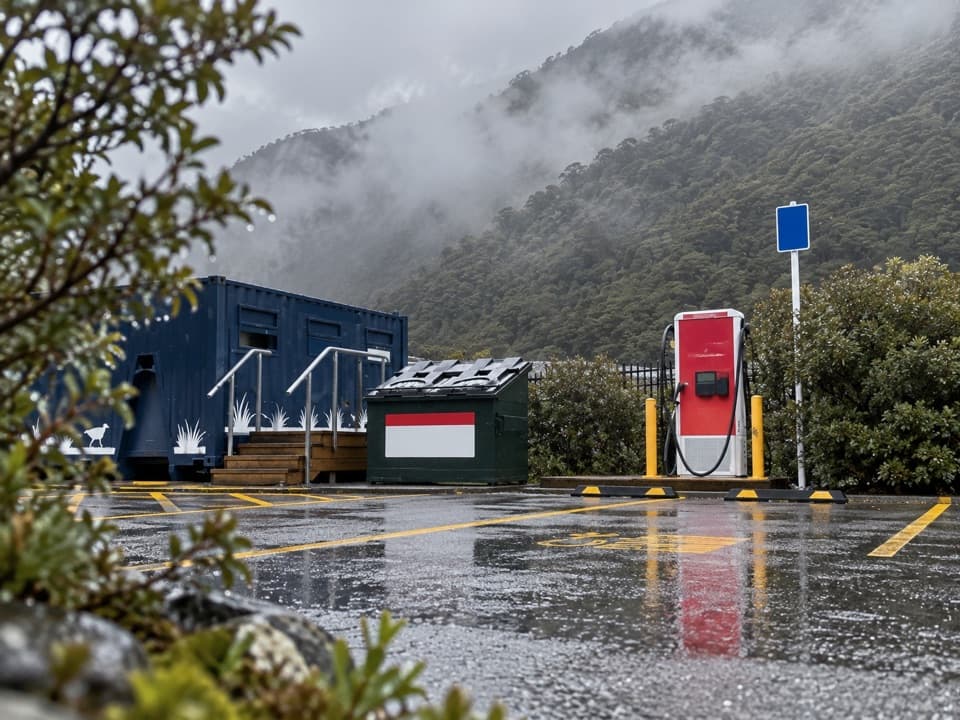
Use the Greyneys Shelter access off SH73. Cross the highway and take the pedestrian tunnel beneath the railway, then follow the vehicle track toward the Bealey River. Some parking is available off the highway; vehicle break-ins have been reported.

Safety

Expert backcountry route with unbridged Mingha and Bealey River crossings; water can rise quickly and channels shift after storms. Do not cross high water or set out in bad weather. Avalanches, steep drop-offs and bluffs are durable hazards. Dogs are not permitted in the national park.

2 active Arthur's Pass alerts

  • CautionFlood damage and rockfall risk on Harper Pass RouteFlood damage and an active slip affect the Harper Pass Route below Kiwi Hut and near Locke Stream Hut.Official details
  • CautionFlood damage on route to Sudden Valley BivvySignificant flood damage makes the route to Sudden Valley Bivvy passable only when rivers are low.Official details
Arthur's Pass alerts
A park ranger sits on a dash-mounted phone, talking, as Parkwolf’s Tour Guide plays “Army Cutworm Moths: A Grizzly Bear Buffet” on Grand Loop Road below Dunraven Pass in Yellowstone
Parkwolf Tour GuideThe highest, rockiest slopes around here are a summer buffet for grizzly bears.

Arthur's Pass Tour Guide

Your drive to Goat Pass Hut via Mingha Valley, narrated.

Parkwolf is a GPS audio tour guide for Arthur's Pass National Park. As you drive, it chimes in with what’s ahead: hidden gems, upcoming stops, history, geology, and wildlife, right through your car’s speakers.

Recorded for this trailhead

Greyneys Shelter and Old Coach Road
0:00 / 0:25
“You're nearing Greyneys Shelter, where I'd stop for a gentle half-hour walk with a little road history. The Old Coach Road loop is just over a kilometre, through forest on part of the original coach route.”

Plays as you drive up to this trailhead in the Parkwolf Arthur's Pass Tour Guide.

More stories near here in the app

  • Klondyke Corner Campsite
  • Spotting a Young Kea
  • The Knowledge Behind Arthur’s Pass
  • O'Malleys Track to Turkey Flat
  • 42 audio storiesacross Arthur's Pass’s roads, triggered by GPS as you drive
  • Wildlife heatmapsfor Kea, New Zealand Falcon, Blue Duck, and 13 more
  • Works offlinemaps, 49 trails, 59 places, and audio download before you lose signal
  • CarPlay readysimple controls built for the drive
★★★★★
“Fantastic app with many points of information… It’s great to just turn on while you’re driving and it gives you an audio tour of the national Park. We love it!!!!”
JMJamesApp Store review
Download Parkwolf on the App StoreGet Parkwolf on Google Play

4.7 from 8,600+ ratings

Trail guide

Hiking Goat Pass Hut via Mingha Valley

From Greyneys into the MinghaFrom the Greyneys Shelter access on SH73, cross the highway and use the pedestrian underpass…

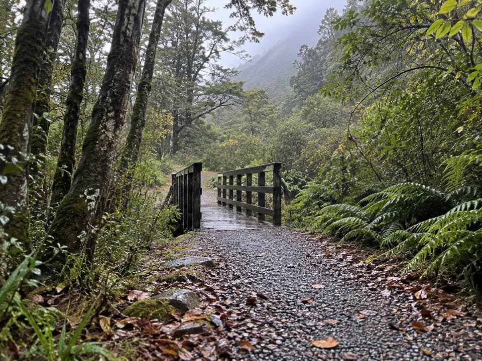
From the Greyneys Shelter access on SH73, cross the highway and use the pedestrian underpass beneath the railway. Follow the vehicle track about 500 m to the Bealey River, then cross above its meeting with the Mingha. The valley route starts with about an hour of stony riverbed travel, crossing the Mingha where needed. Channels shift after storms, so the best crossing can change.

Dudley Knob and the upper valleyA marked track climbs through bush above the Mingha Gorge to Dudley Knob, then drops back…

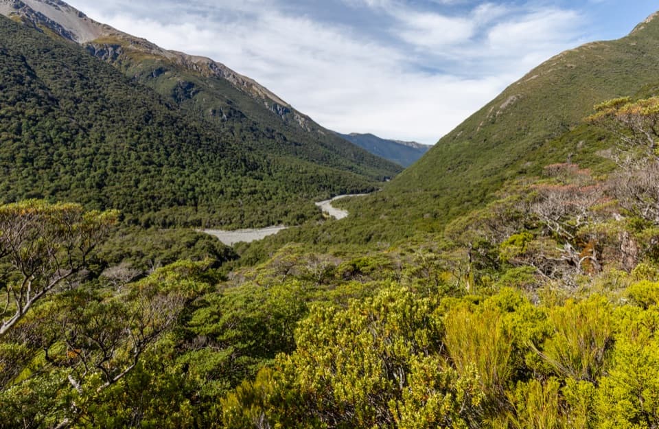
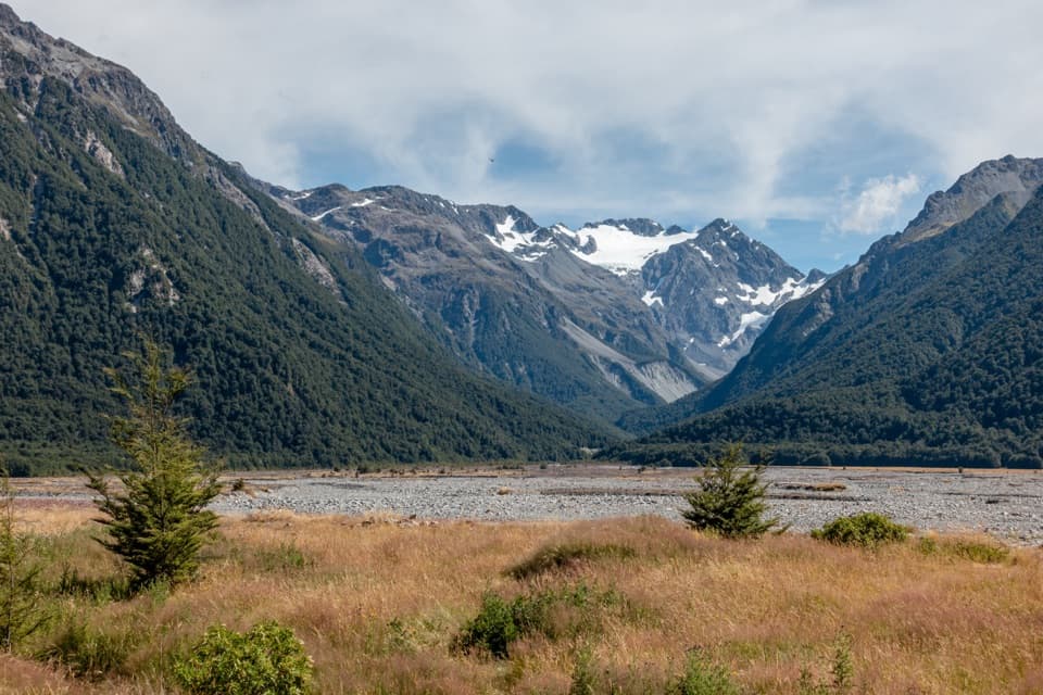
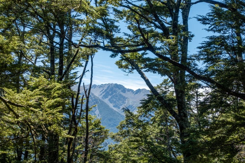
A marked track climbs through bush above the Mingha Gorge to Dudley Knob, then drops back toward the river. Turn around there for the broad view down Mingha Valley toward the highway and surrounding mountains. The route continues through bush toward Mingha Bivvy, a small two-bunk shelter near the river and forest edge. It is a useful landmark, not a staffed hut or a guarantee of safe shelter: the bivvy sits in a known avalanche path.

Over Goat PassBeyond the bivvy, the route crosses the Mingha near its bend toward Temple Col, then follows a…

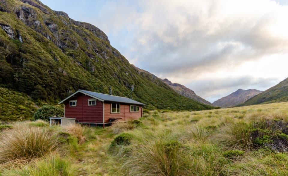
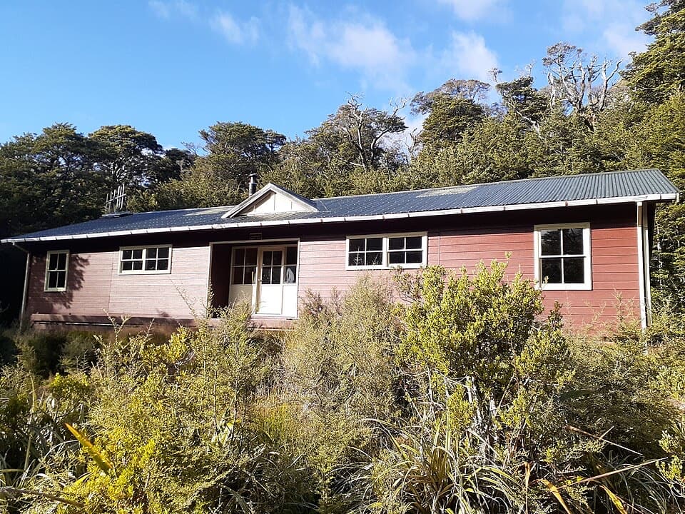
Beyond the bivvy, the route crosses the Mingha near its bend toward Temple Col, then follows a marked track through subalpine scrub beside Goat Pass Stream. Boardwalk carries the boggier ground toward the pass; Goat Pass Hut sits in a hollow just north of the 1,070 m saddle. The hut has 20 bunks, no fireplace and untreated tap water. Overnight stays require booking; bring your own cooker and utensils.

Optional time at the passLake Mavis is a separate side trip, not part of the 23 km return distance.

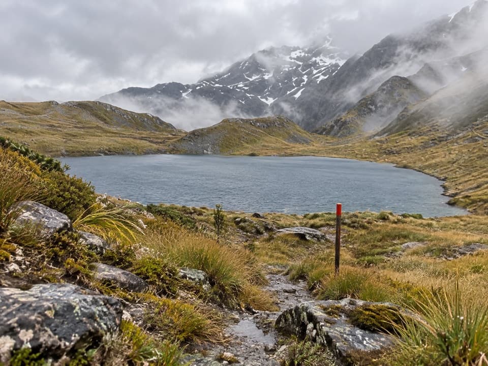
Lake Mavis is a separate side trip, not part of the 23 km return distance. It adds a steep 500 m climb over tussock and scree, then a cairned ridge, and takes about two hours each way. The route is only occasionally marked, so it calls for confident navigation and good conditions. The trail’s clearest photo stop is Dudley Knob: turn back toward the lower Mingha Valley to include the route’s long descent toward the highway.

Wildlife

Wildlife in Arthur's Pass

All Arthur's Pass wildlife maps

Sighting maps show where each species has been reported across Arthur's Pass. Wildlife moves, so no sighting is guaranteed.

Keep exploring

Near Goat Pass Hut via Mingha Valley

See it all on the map

Trails that start nearby

Places near the trailhead

Parkwolf’s Arthur's Pass ranking

Top-rated trails in Arthur's Pass

All 49 trails
  1. 1Devils Punchbowl Walking TrackModerate · 2 km
  2. 2Avalanche Peak RouteChallenging · 6.8 km
  3. 3Bealey Spur TrackModerate · 12 km
  4. 4Arthur’s Pass Walking TrackModerate · 6.8 km
  5. 5Otira Valley TrackModerate · 3.4 km
  6. 6Scotts Track to Avalanche PeakChallenging · 7.1 km

Take Parkwolf to Arthur's Pass.

The audio tour guide for the drive, plus offline maps, trails, and wildlife heatmaps for when the signal drops.

4.7 from 8,600+ ratings

Download Parkwolf on the App StoreGet Parkwolf on Google Play