Mingha–Deception Route in Arthur's Pass National Park

Arthur's Pass National Park, CB · WC

Mingha–Deception Route

Expert tramping across Goat Pass between two wild river valleys

Photo: Wikimedia Commons
Length
24km
Time
14hr
Elev. change
740m
Difficulty
Challenging
  • No dogs
  • High point 1,057 m
  • #18 of 49 in Arthur's Pass

Hear the audio tour

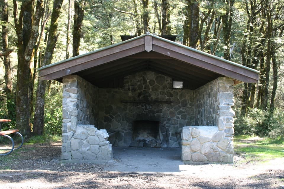
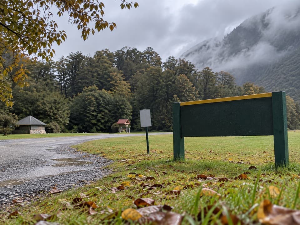
Greyneys Shelter and Old Coach Road

Overview

About Mingha–Deception Route

Why go

  • A genuine Main Divide crossing through two very different river valleys.
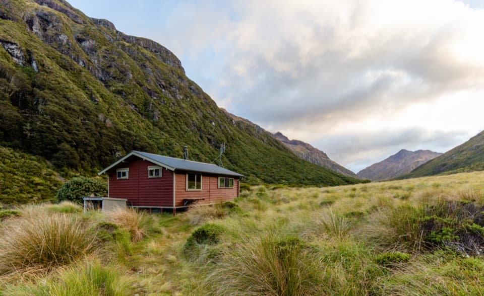
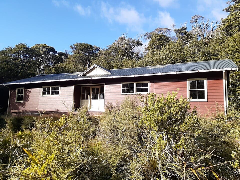
  • Goat Pass Hut, Upper Deception Hut and Mingha Bivvy break up the route.

Heads up

  • Up to 30 unbridged crossings; the best river line can shift after storms.
  • Remote, expert route with a shuttle-dependent point-to-point finish.

Map & elevation

The route

Loading the Arthur's Pass map
Full map
Elevation317–1,057 m
TrailheadGreyneys Shelter Campsite (SH73)-42.98421, 171.59030
Keep this map with you offline in the Parkwolf app

Plan your hike

Before you go

Parking

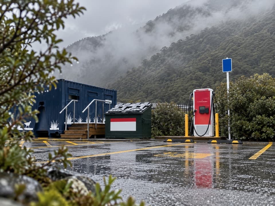
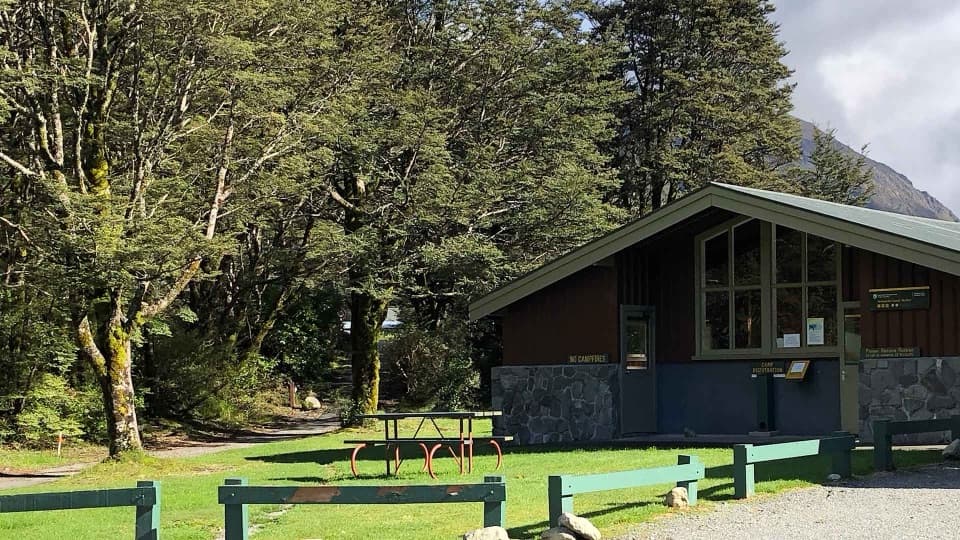
Start at Greyneys Shelter off SH73, about 5 km south of Arthur’s Pass village; some off-road parking is available. Cross the highway and use the railway underpass for the Mingha access. At Morrisons footbridge near Aickens Corner, roadside parking is limited and vehicles should not be left longer than one day. Arrange a shuttle or a vehicle at the far end; bus services along SH73 pass both ends, but check current schedules.

Best time to go

The Deception section can require up to 30 crossings, and the safest line may move after storms or sit away from track markers. Both rivers can flood at any time; do not set out when they are high or bad weather is forecast. The recommended season is summer through early winter; heavy snow brings avalanche terrain that demands suitable equipment and experience. There are toilets at Mingha Bivvy, Goat Pass Hut and Upper Deception Hut; no food service is available, so carry enough for delays. Boil the untreated tap water at Goat Pass Hut. Upper Deception Hut has six bunks and Mingha Bivvy has two. Dogs are not allowed.

Safety

Expert unformed alpine route with steep bluffs, avalanche terrain and dangerous river crossings. The Deception may require up to 30 crossings, and both rivers can flood in any season; do not set out when rivers are high or bad weather is forecast. The safest ford may be away from markers. Confident river-crossing skills and backcountry navigation are essential.

2 active Arthur's Pass alerts

  • CautionFlood damage and rockfall risk on Harper Pass RouteFlood damage and an active slip affect the Harper Pass Route below Kiwi Hut and near Locke Stream Hut.Official details
  • CautionFlood damage on route to Sudden Valley BivvySignificant flood damage makes the route to Sudden Valley Bivvy passable only when rivers are low.Official details
Arthur's Pass alerts
A park ranger sits on a dash-mounted phone, talking, as Parkwolf’s Tour Guide plays “Army Cutworm Moths: A Grizzly Bear Buffet” on Grand Loop Road below Dunraven Pass in Yellowstone
Parkwolf Tour GuideThe highest, rockiest slopes around here are a summer buffet for grizzly bears.

Arthur's Pass Tour Guide

Your drive to Mingha–Deception Route, narrated.

Parkwolf is a GPS audio tour guide for Arthur's Pass National Park. As you drive, it chimes in with what’s ahead: hidden gems, upcoming stops, history, geology, and wildlife, right through your car’s speakers.

Recorded for this trailhead

Greyneys Shelter and Old Coach Road
0:00 / 0:25
“You're nearing Greyneys Shelter, where I'd stop for a gentle half-hour walk with a little road history. The Old Coach Road loop is just over a kilometre, through forest on part of the original coach route.”

Plays as you drive up to this trailhead in the Parkwolf Arthur's Pass Tour Guide.

More stories near here in the app

  • Klondyke Corner Campsite
  • Spotting a Young Kea
  • The Knowledge Behind Arthur’s Pass
  • O'Malleys Track to Turkey Flat
  • 42 audio storiesacross Arthur's Pass’s roads, triggered by GPS as you drive
  • Wildlife heatmapsfor Kea, New Zealand Falcon, Blue Duck, and 13 more
  • Works offlinemaps, 49 trails, 59 places, and audio download before you lose signal
  • CarPlay readysimple controls built for the drive
★★★★★
“Fantastic app with many points of information… It’s great to just turn on while you’re driving and it gives you an audio tour of the national Park. We love it!!!!”
JMJamesApp Store review
Download Parkwolf on the App StoreGet Parkwolf on Google Play

4.7 from 8,600+ ratings

Trail guide

Hiking Mingha–Deception Route

The crossingThis is a point-to-point traverse of about 24 km (14.

This is a point-to-point traverse of about 24 km (14.9 miles) one way, from Greyneys Shelter on SH73 to Morrisons footbridge near Aickens Corner. It follows the Mingha River over Goat Pass at 1,070 m, then descends beside the Deception River to the West Coast road. Allow 13–14 hours on foot, usually spread over two or three days; river levels can change the pace a lot. This is an Expert-level, mostly unformed alpine route for experienced backcountry trampers with strong navigation and river-crossing skills. Arrange transport from the far end before setting out. The route is part of Te Araroa; the Coast to Coast race leg continues roughly 2–3 km beyond Greyneys to Klondyke Corner, which is not included here.

Greyneys to Goat PassFrom Greyneys Shelter, cross SH73 and use the pedestrian underpass beneath the railway.

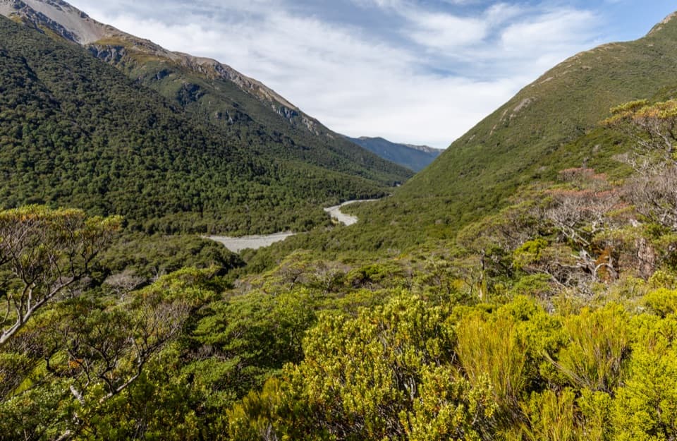
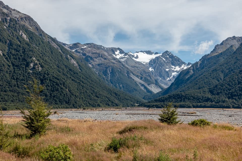
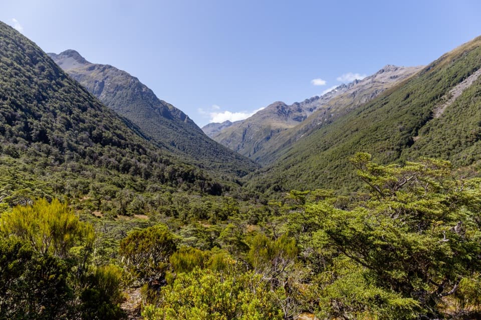
From Greyneys Shelter, cross SH73 and use the pedestrian underpass beneath the railway. Follow the vehicle track to the Bealey River; if it is too high to ford, postpone the trip, and never use the rail bridge. The lower Mingha is mostly riverbed for about an hour, with crossings as needed, before a gorge forces the route onto a marked track. It climbs above the gorge to Dudley Knob, then sidles back toward the river and Mingha Bivvy at the bushline. At Dudley Knob the valley opens north toward high ridges; pause here for the clearest view, with a strip of rocky riverbed in the frame to show the scale.

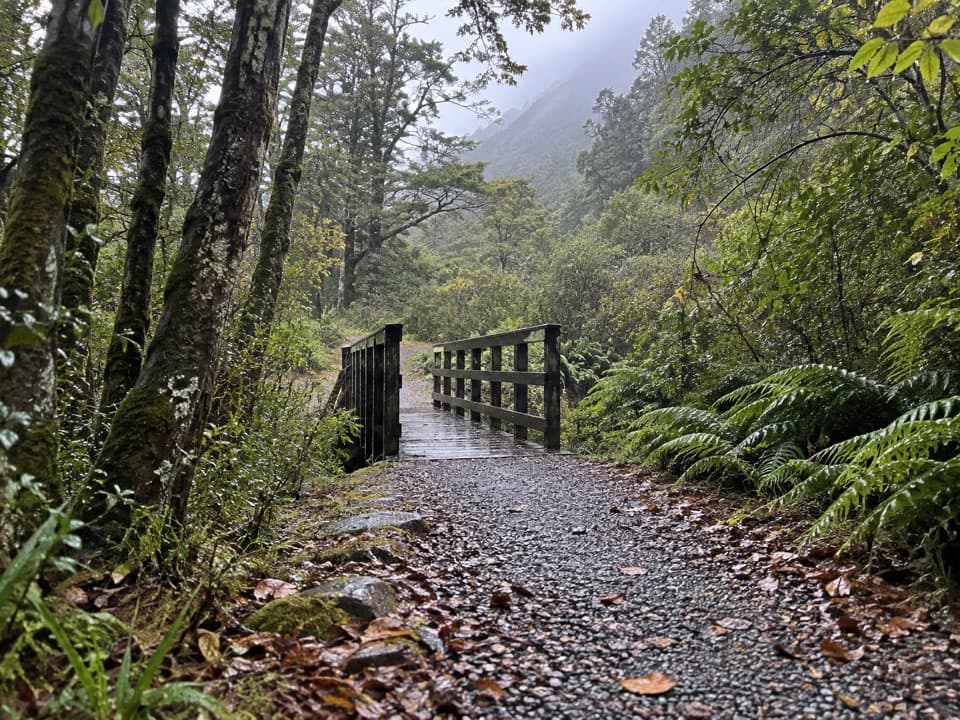
From the bivvy, marked track follows the upper Mingha toward Temple Col and Goat Pass Stream. The terrain turns to subalpine scrub and bog, with boardwalk across some wet stretches, before the route reaches the obvious pass and Goat Pass Hut just north of it.

Across the divideGoat Pass is the high point of the crossing.

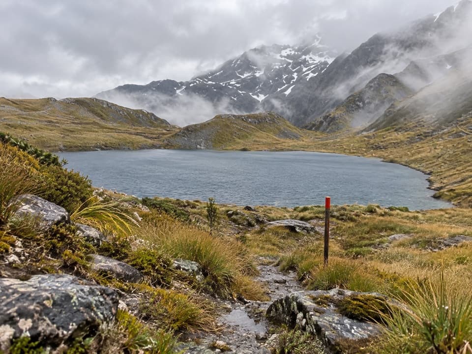
Goat Pass is the high point of the crossing. The 20-bunk hut has no fireplace and can be extremely cold; book before relying on a bunk. A summer side trip climbs steep tussock and scree about 500 m to Lake Mavis, then follows a cairned ridge. It takes about two hours each way and needs good route-finding, so it is a separate commitment from the main route.

Down the DeceptionWest of the pass, the route drops by a creek bed into the upper Deception valley.

West of the pass, the route drops by a creek bed into the upper Deception valley. Expect boulder-hopping and scrambling among riverbed, bush and short marked sections, not a continuous constructed track. Upper Deception Hut sits low on a scrub-covered terrace shortly beyond Dorreen Creek and is easy to walk past if you are not looking for it. The valley widens lower down, but the walking remains rocky and involves repeated crossings before the route reaches Morrisons footbridge over the Ōtira River.

Wildlife

Wildlife in Arthur's Pass

All Arthur's Pass wildlife maps

Sighting maps show where each species has been reported across Arthur's Pass. Wildlife moves, so no sighting is guaranteed.

Keep exploring

Near Mingha–Deception Route

See it all on the map

Trails that start nearby

Places near the trailhead

Parkwolf’s Arthur's Pass ranking

Top-rated trails in Arthur's Pass

All 49 trails
  1. 1Devils Punchbowl Walking TrackModerate · 2 km
  2. 2Avalanche Peak RouteChallenging · 6.8 km
  3. 3Bealey Spur TrackModerate · 12 km
  4. 4Arthur’s Pass Walking TrackModerate · 6.8 km
  5. 5Otira Valley TrackModerate · 3.4 km
  6. 6Scotts Track to Avalanche PeakChallenging · 7.1 km

Take Parkwolf to Arthur's Pass.

The audio tour guide for the drive, plus offline maps, trails, and wildlife heatmaps for when the signal drops.

4.7 from 8,600+ ratings

Download Parkwolf on the App StoreGet Parkwolf on Google Play