Lake Mavis Route in Arthur's Pass National Park

Arthur's Pass National Park, CB · WC

Lake Mavis Route

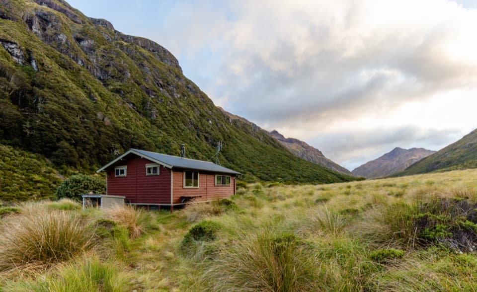
A steep, mostly unmarked climb to a high lake below Mt Oates.

Length
4.3km
Time
4.5hr
Elev. change
563m
Difficulty
Challenging
  • No dogs
  • High point 1,619 m
  • #23 of 49 in Arthur's Pass
Parkwolf audio tour42 stories across Arthur's Pass’s roads

Overview

About Lake Mavis Route

Why go

  • A high lake and broad alpine views beneath Mt Oates.
  • A substantial alpine objective from Goat Pass Hut.

Heads up

  • Steep tussock and scree with only occasional cairns.
  • Getting to the hut requires a long backcountry approach.

Map & elevation

The route

Loading the Arthur's Pass map
Full map
Elevation1,056–1,619 m
TrailheadGoat Pass Hut-42.90155, 171.62481
Keep this map with you offline in the Parkwolf app

Plan your hike

Before you go

Parking

Goat Pass Hut has no road access. For the eastern approach, park at Greyneys Shelter on SH73 and walk about 10 km / 5 hours to the hut. The western approach starts at Morrison’s Footbridge; parking there is limited, and a through-trip needs a shuttle plan.

Safety

The route climbs steep, largely unmarked tussock and scree and is only occasionally marked by cairns; strong alpine route-finding skills are essential. Snow brings avalanche terrain in winter. The Mingha approach includes potentially dangerous river crossings, especially in high water.

2 active Arthur's Pass alerts

  • CautionFlood damage and rockfall risk on Harper Pass RouteFlood damage and an active slip affect the Harper Pass Route below Kiwi Hut and near Locke Stream Hut.Official details
  • CautionFlood damage on route to Sudden Valley BivvySignificant flood damage makes the route to Sudden Valley Bivvy passable only when rivers are low.Official details
Arthur's Pass alerts
A park ranger sits on a dash-mounted phone, talking, as Parkwolf’s Tour Guide plays “Army Cutworm Moths: A Grizzly Bear Buffet” on Grand Loop Road below Dunraven Pass in Yellowstone
Parkwolf Tour GuideThe highest, rockiest slopes around here are a summer buffet for grizzly bears.

Arthur's Pass Tour Guide

Your drive to Lake Mavis Route, narrated.

Parkwolf is a GPS audio tour guide for Arthur's Pass National Park. As you drive, it chimes in with what’s ahead: hidden gems, upcoming stops, history, geology, and wildlife, right through your car’s speakers.

More stories near here in the app

  • Ōtira Valley Track
  • Temple Basin and Dobson Nature Walk
  • Jacks Hut and Bealey Chasm
  • Ōtira Viaduct Lookout
  • 42 audio storiesacross Arthur's Pass’s roads, triggered by GPS as you drive
  • Wildlife heatmapsfor Kea, New Zealand Falcon, Blue Duck, and 13 more
  • Works offlinemaps, 49 trails, 59 places, and audio download before you lose signal
  • CarPlay readysimple controls built for the drive
★★★★★
“Fantastic app with many points of information… It’s great to just turn on while you’re driving and it gives you an audio tour of the national Park. We love it!!!!”
JMJamesApp Store review
Download Parkwolf on the App StoreGet Parkwolf on Google Play

4.7 from 8,600+ ratings

Trail guide

Hiking Lake Mavis Route

Is this the right side trip?Lake Mavis Route is a 2.7-mile (4.

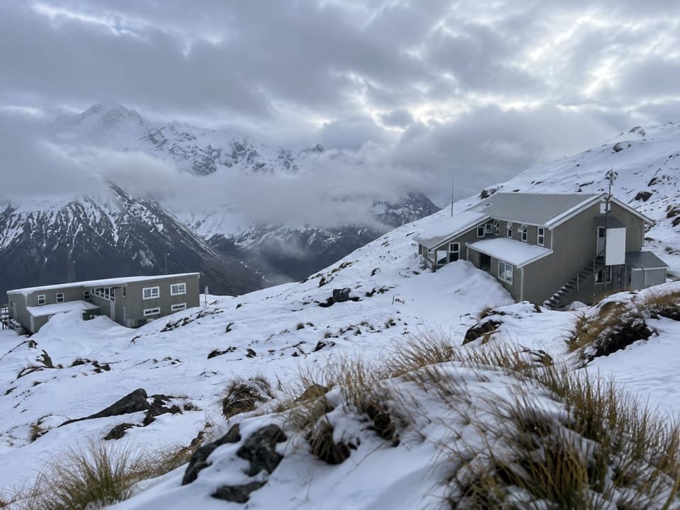
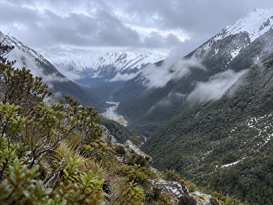
Lake Mavis Route is a 2.7-mile (4.3-km) out-and-back from Goat Pass Hut to a high alpine lake beneath Mt Oates. Allow about four to five hours return; the climb to the lake takes around two hours one way. You gain roughly 500 m on steep tussock and scree before following a cairned ridge. This is for experienced backcountry trampers who can navigate where the track is faint or absent, not a casual walk from the road.

Finding the routeFrom Goat Pass Hut, follow the Mingha track over to Goat Pass and look for the pair of cairns…

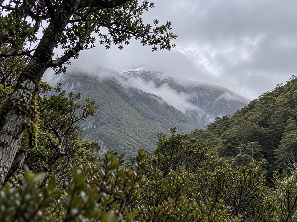
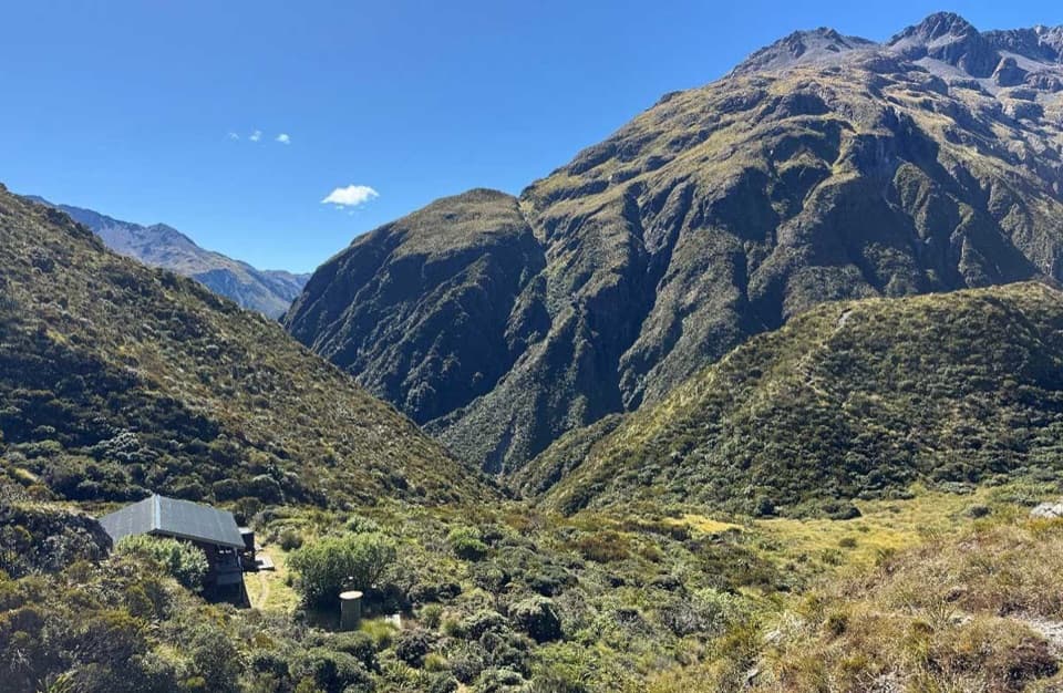
From Goat Pass Hut, follow the Mingha track over to Goat Pass and look for the pair of cairns marking the eastbound spur. The climb starts steeply across tussock and scree; it is largely unmarked, and cairns appear only occasionally along the ridge. The turnoff can be easy to miss and the faint line fades in grass, so keep checking your map and position rather than following every worn patch. The climb comes in bursts, with a further rise near a waterfall before the lake basin.

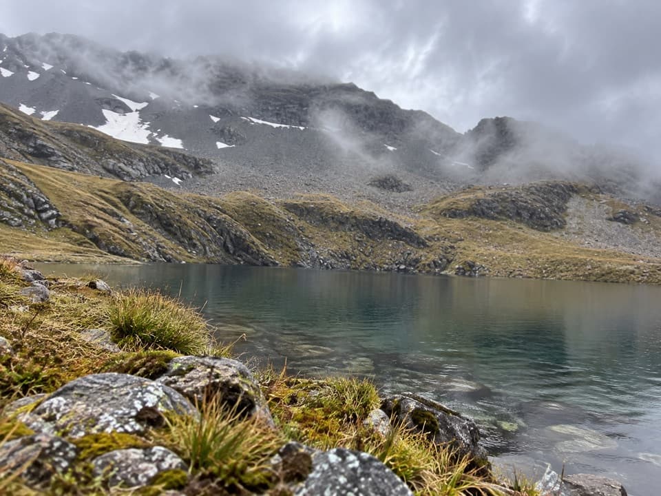
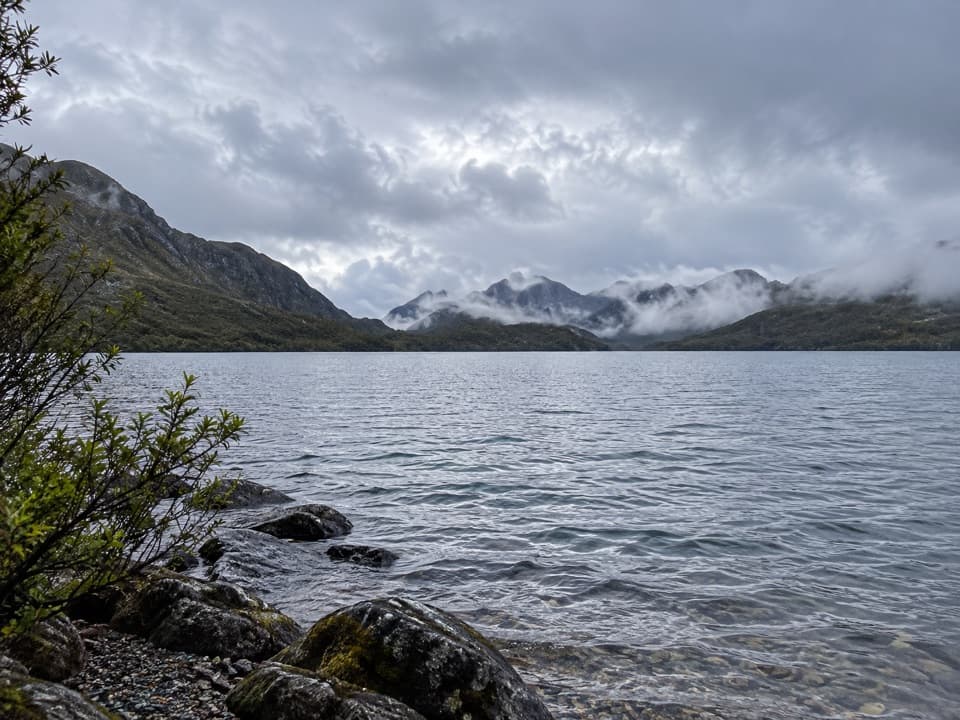
The lake below Mt OatesLake Mavis sits in an alpine bowl below Mt Oates.

Lake Mavis sits in an alpine bowl below Mt Oates. From the shore, the water and surrounding ridges open into a broad mountain view; on a clear day, Mt Rolleston is visible beyond the basin. Calm conditions can bring reflections, but the lake is exposed to changing mountain weather. Mt Oates, at 2,054 m, is named for Captain Lawrence Oates of Scott's Terra Nova Antarctic expedition.

Reaching Goat Pass HutThis is a backcountry side trip, not a roadside trail.

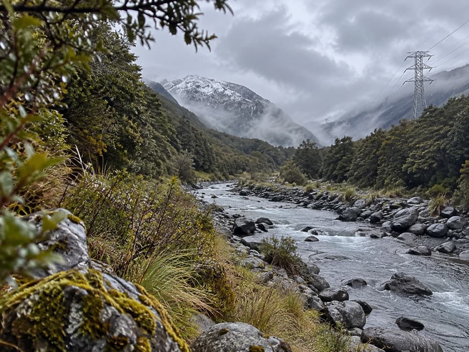
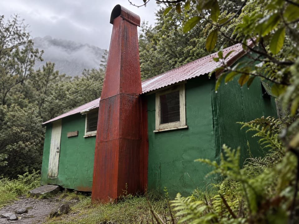
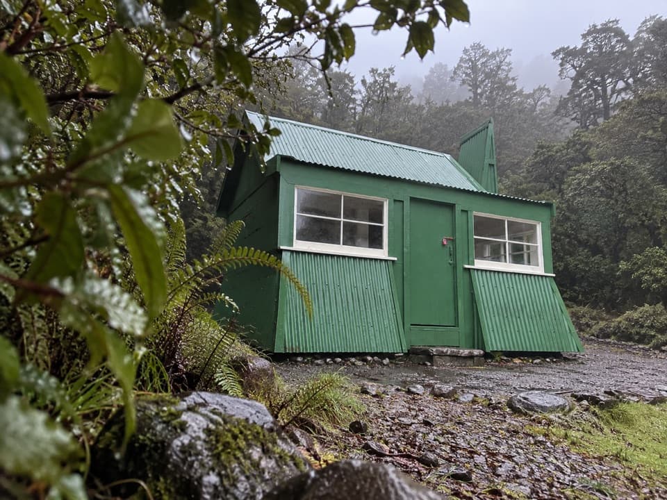
This is a backcountry side trip, not a roadside trail. The eastern approach from Greyneys Shelter on SH73 takes about 10 km and five hours one way to Goat Pass Hut; the western approach from Morrison's Footbridge is about 14 km and eight to nine hours. Those are separate access legs and are not included in the 2.7-mile lake walk. The Mingha approach has river crossings that can become dangerous in high water. Goat Pass Hut has 20 bunks, requires bookings, and has untreated tap water that must be boiled. The side trip is best in summer; winter snow brings avalanche terrain. Dogs and other pets are not permitted in the national park.

Wildlife

Wildlife in Arthur's Pass

All Arthur's Pass wildlife maps

Sighting maps show where each species has been reported across Arthur's Pass. Wildlife moves, so no sighting is guaranteed.

Keep exploring

Near Lake Mavis Route

See it all on the map

Trails that start nearby

Places near the trailhead

Parkwolf’s Arthur's Pass ranking

Top-rated trails in Arthur's Pass

All 49 trails
  1. 1Devils Punchbowl Walking TrackModerate · 2 km
  2. 2Avalanche Peak RouteChallenging · 6.8 km
  3. 3Bealey Spur TrackModerate · 12 km
  4. 4Arthur’s Pass Walking TrackModerate · 6.8 km
  5. 5Otira Valley TrackModerate · 3.4 km
  6. 6Scotts Track to Avalanche PeakChallenging · 7.1 km

Take Parkwolf to Arthur's Pass.

The audio tour guide for the drive, plus offline maps, trails, and wildlife heatmaps for when the signal drops.

4.7 from 8,600+ ratings

Download Parkwolf on the App StoreGet Parkwolf on Google Play