
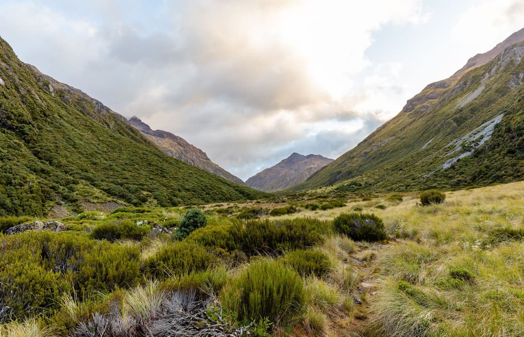
All Arthur's Pass trails
49 trails
 1Devils Punchbowl Walking TrackSteep stair climb through beech forest to a 131 m waterfall
 2Avalanche Peak RouteSteep forest, a razor ridge, and the gentler Scotts descent.
 3Bealey Spur TrackA steady hut walk with wide Waimakariri Valley views
 4Arthur’s Pass Walking TrackBeech forest, alpine wetlands and a high-pass lookout
 5Otira Valley TrackA rocky alpine walk to a footbridge under Mount Rolleston.
 6Scotts Track to Avalanche PeakA steep, exposed climb from forest to a narrow alpine summit.
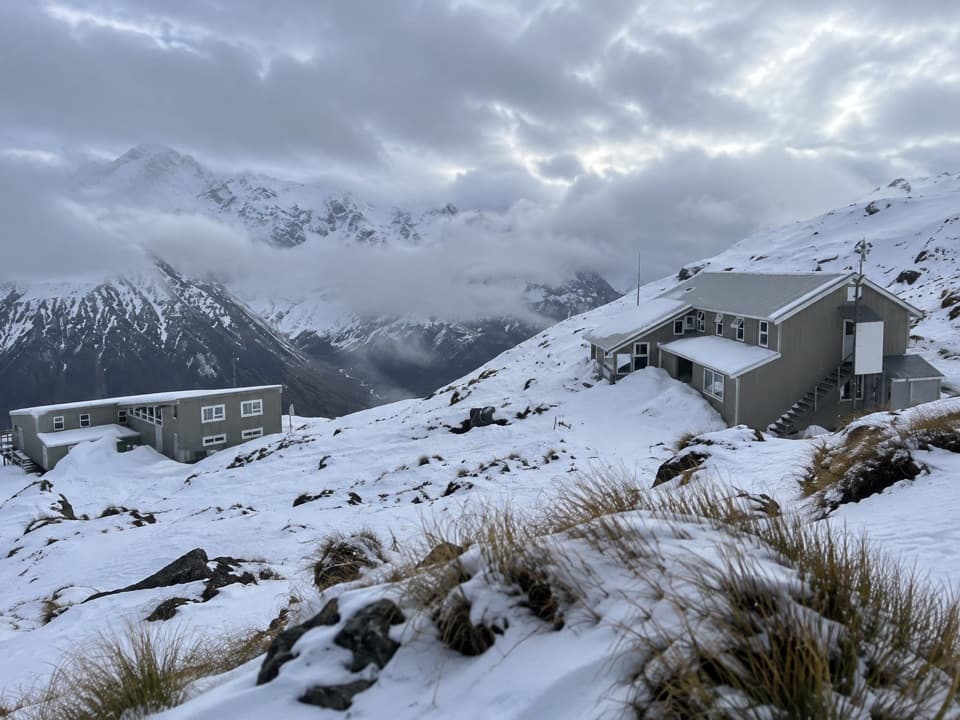 7Temple Basin TrackSteep zigzags lead to a tussock basin and alpine ski lodges.
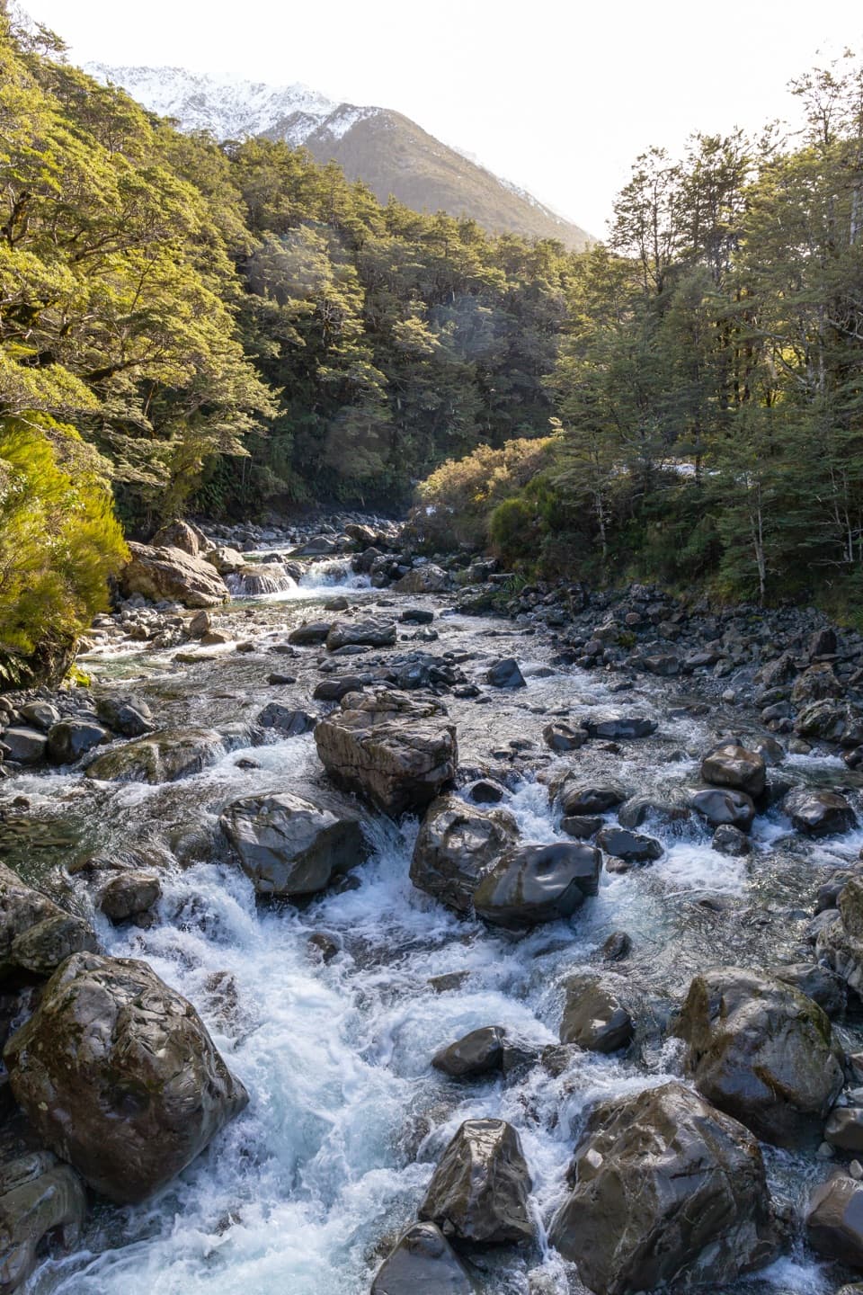 8Bealey Valley TrackA boulder gorge and a snowgrass clearing framed by Mt Rolleston.
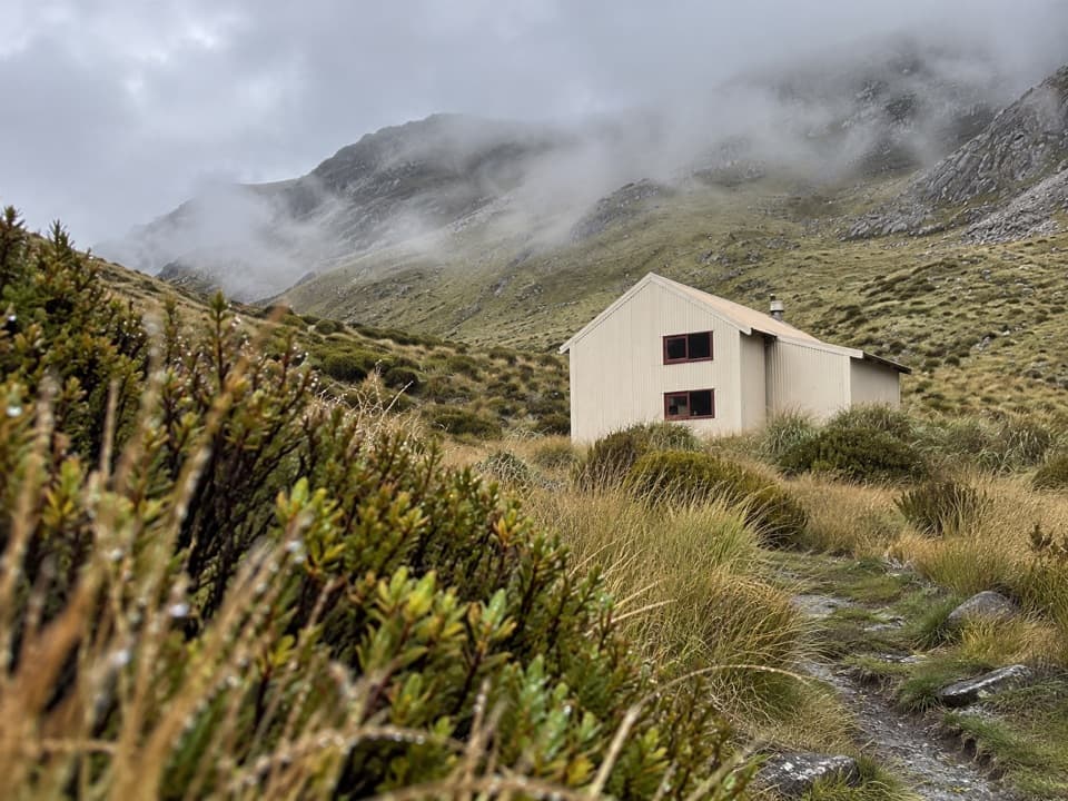 9Carroll Hut TrackA steep forest climb to a hut above the Taramakau.
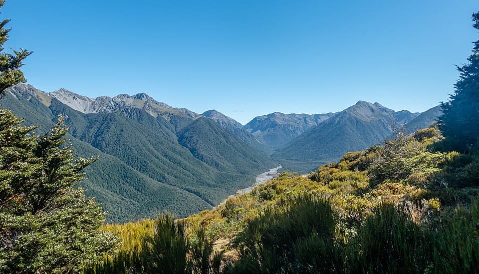 10Woolshed Hill TrackA steep bushline climb for Hawdon Valley and Waimakariri views.
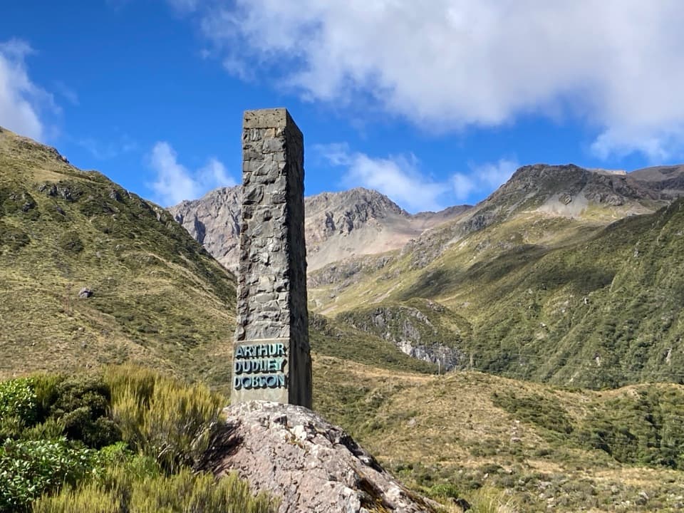 11Dobson Nature WalkAlpine flowers and mountain views in a quick out-and-back.
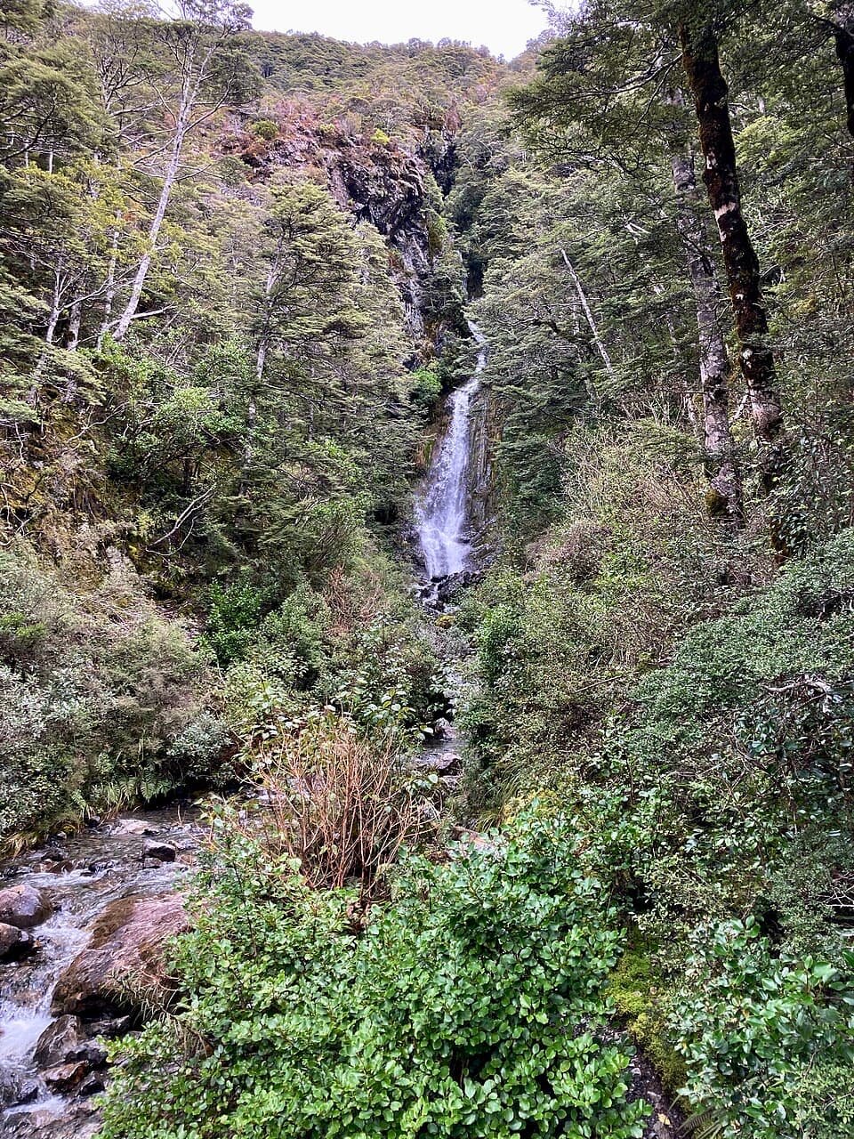 12Millennium WalkA village waterfall loop with a bridge, steps, and a chapel view.
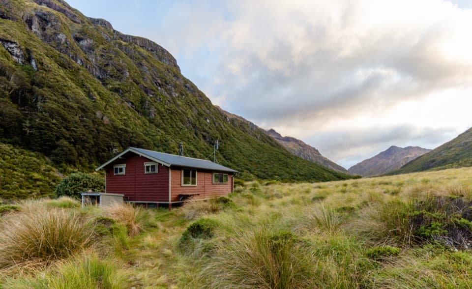 13Edwards Hut TrackUnbridged crossings, rough sidles, and a hut tucked into open tussock.
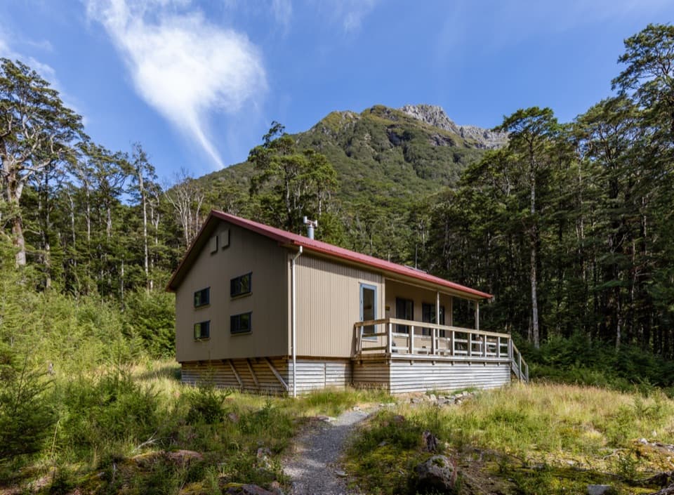 14Hawdon Hut TrackA backcountry hut walk with a string of river fords.
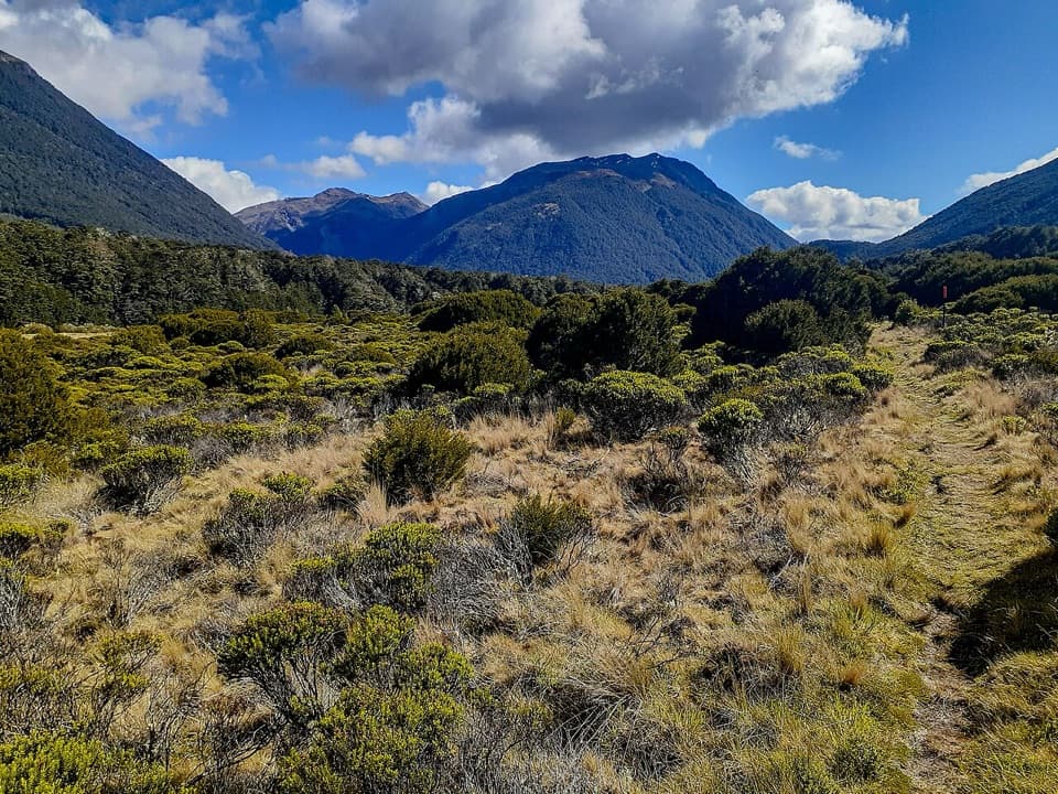 15Casey Hut via Andrews TrackA two-day hut tramp over a broad tussock saddle.
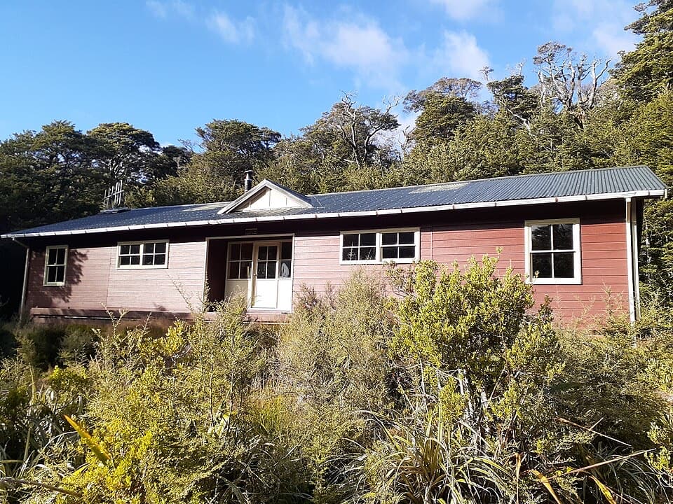 16Carrington Hut RouteA remote hut route with expert river crossings and glacial valley views.
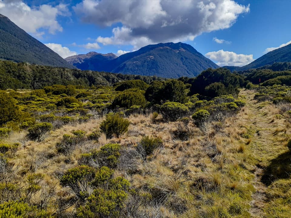 17Casey Saddle – Binser Saddle RouteTwo days across tussock saddles, remote flats and the Poulter valley.
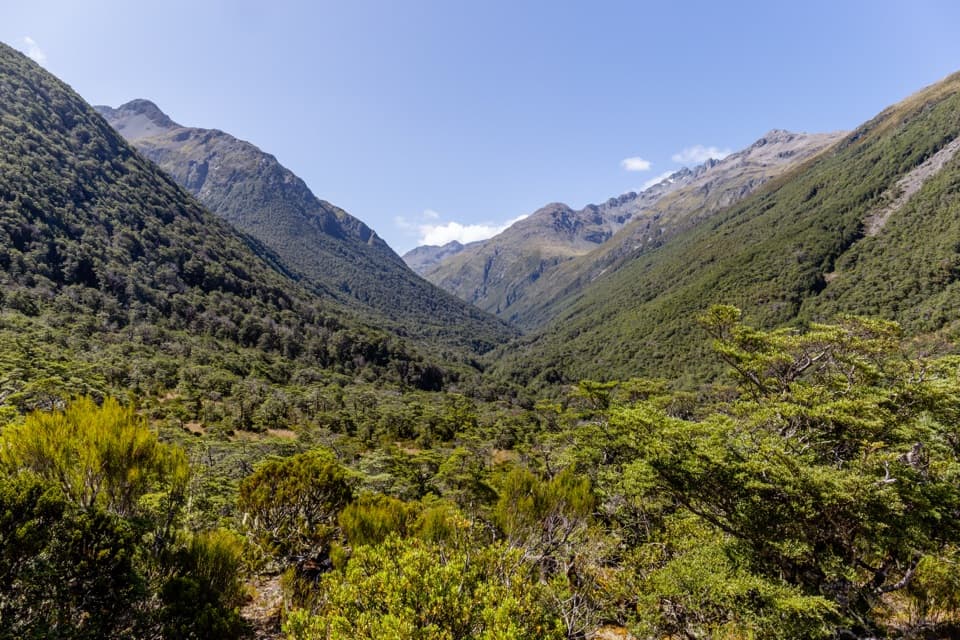 18Mingha–Deception RouteExpert tramping across Goat Pass between two wild river valleys
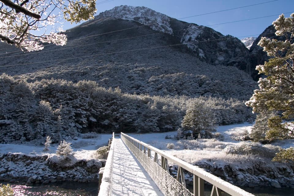 19Bridal Veil WalkA short forest walk to distant falls and open mountain views.
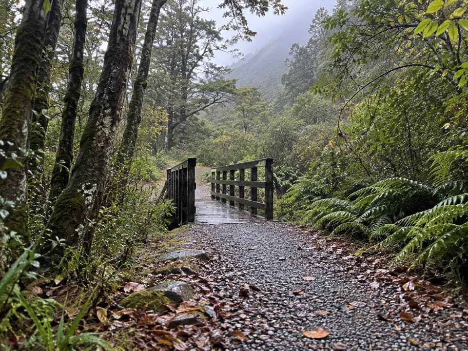 20Old Coach RoadA forest loop on the old coach road, with streams and stonework.
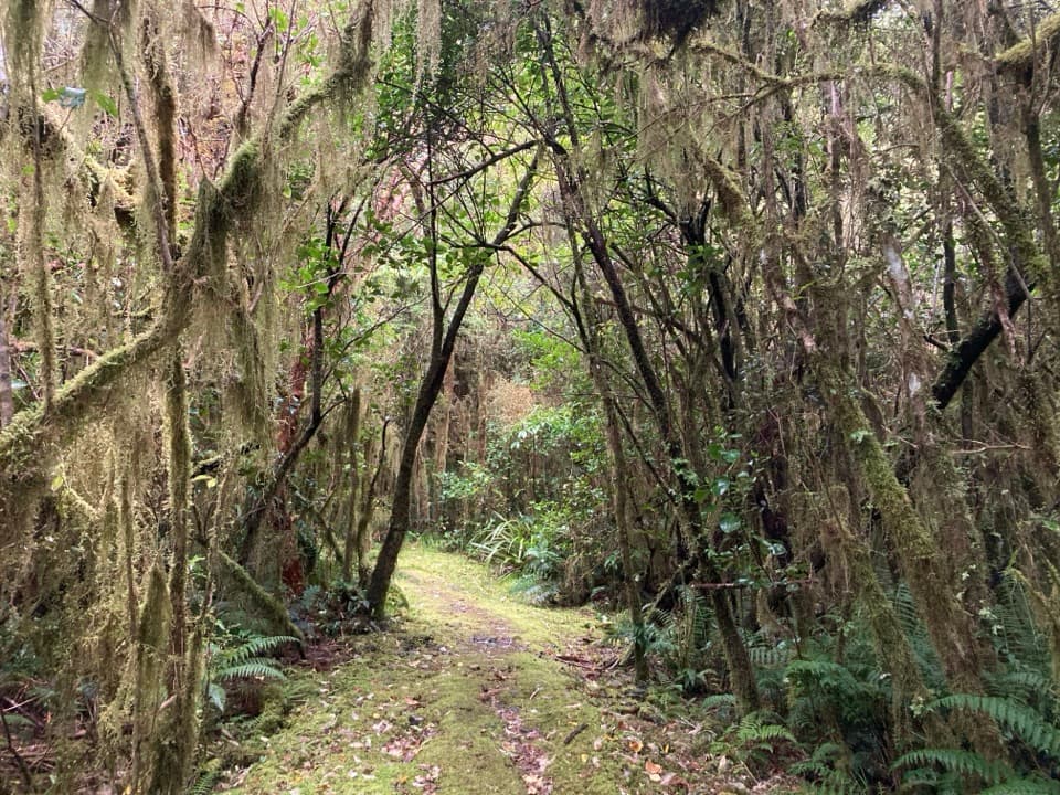 21Cockayne Nature WalkA short, steep climb through lush rainforest to a hilltop bench.
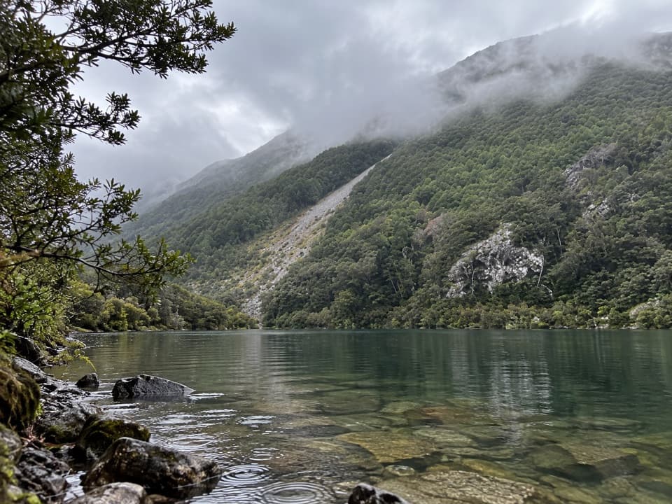 22Lake Minchin TrackBeech forest opens onto a remote lake once served by a hut.
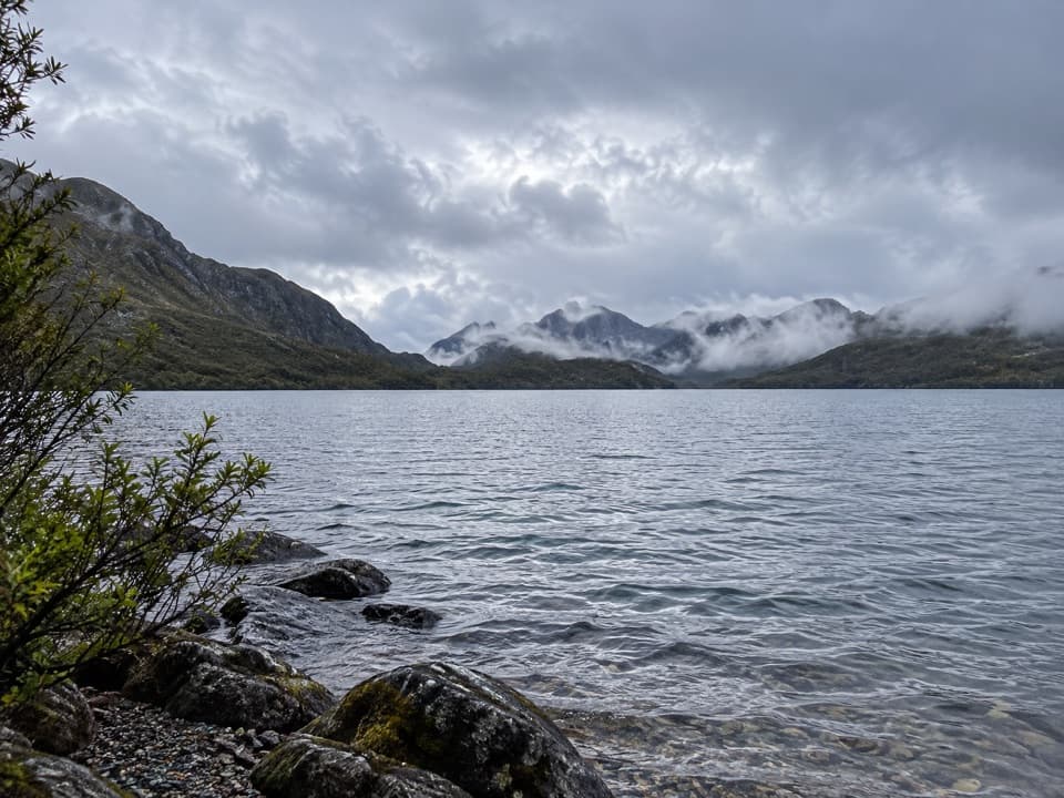 23Lake Mavis RouteA steep, mostly unmarked climb to a high lake below Mt Oates.24Goat Pass Hut via Mingha ValleyA demanding river and alpine tramp to Goat Pass Hut.
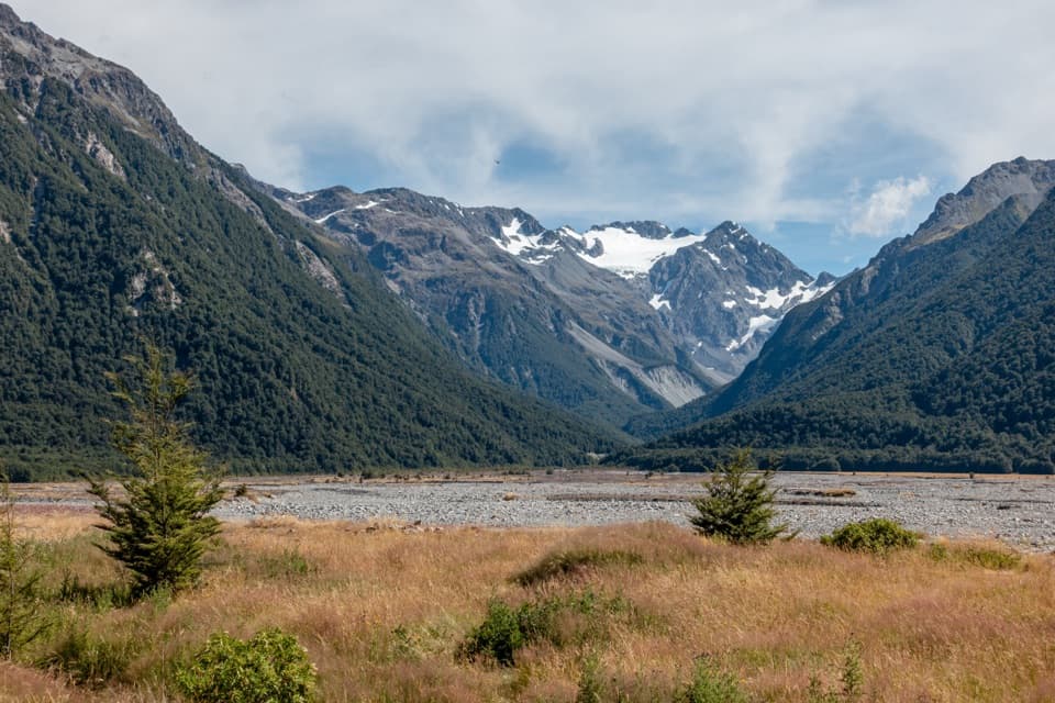 25O’Malleys Track to Anti Crow HutA full-day hut walk across open river flats to alpine views.
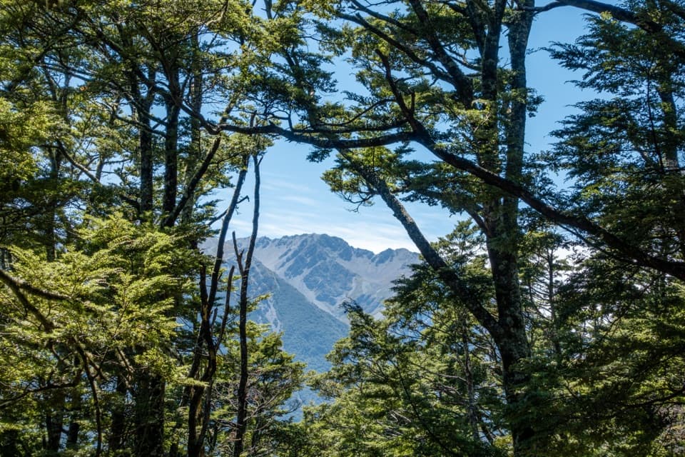 26O’Malleys TrackBeech forest opens onto a broad fan beside the braided river
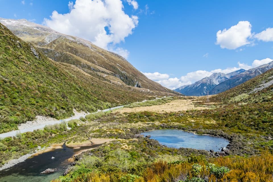 27Lake Misery TrackA wetland connector, not a standalone loop.
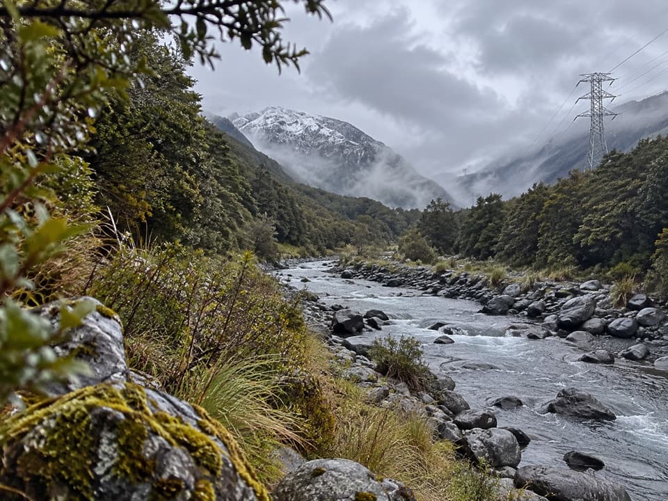 28Mount Aicken TrackA steep, rooty climb to Mount Aicken's bushline and back.
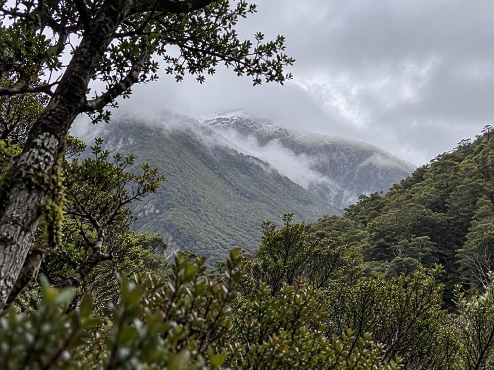 29Cons TrackA steep ridge climb with a big bushline payoff.
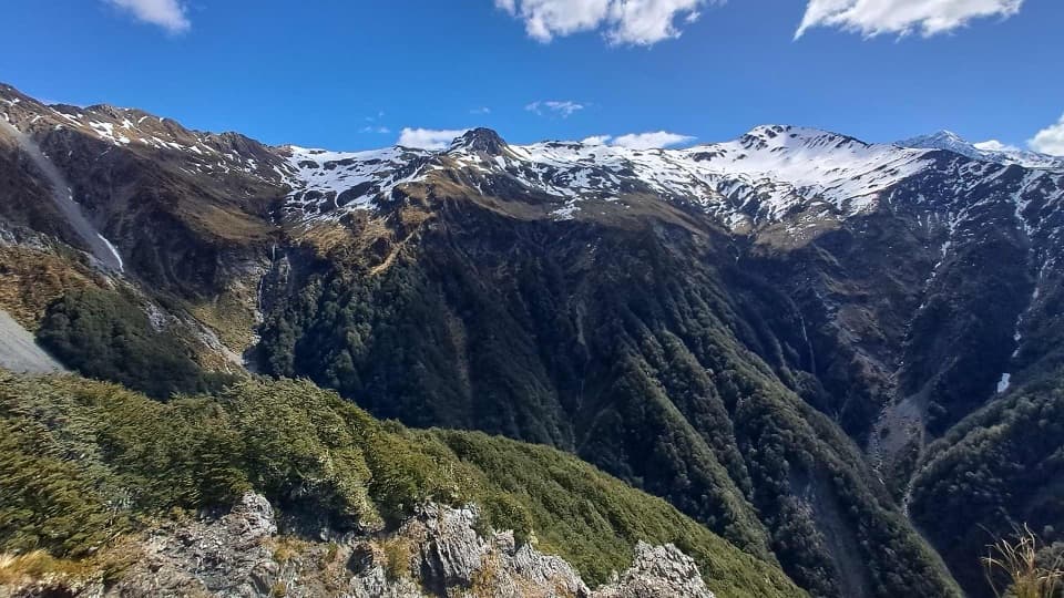 30Mount Bealey TrackA steep bushline climb with big Arthur’s Pass views.
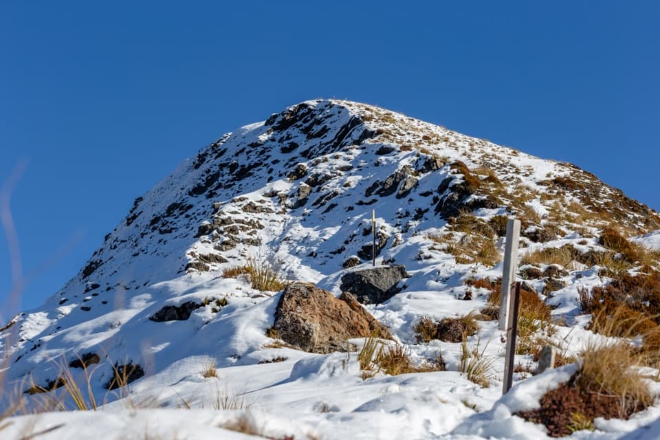 31Avalanche Peak – Crow River RouteA summit ridge gives way to scree, hut and braided river flats.
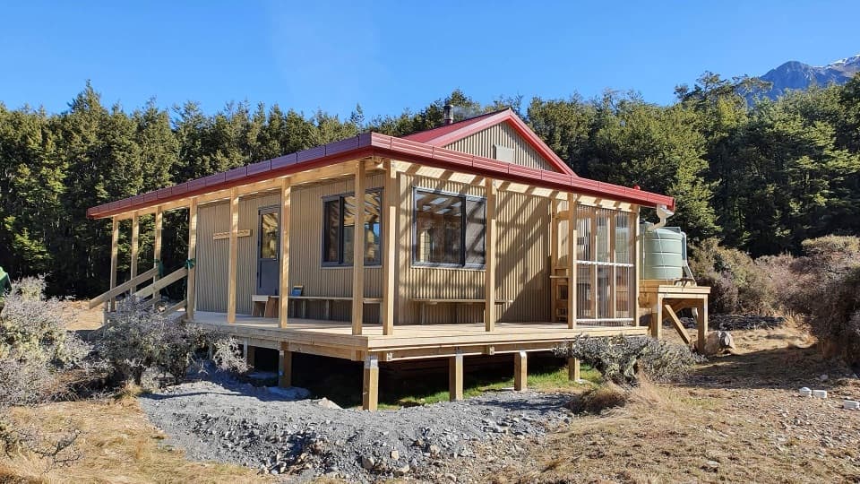 32Poulter River TrackA 20 km shared-use river track to a remote hut
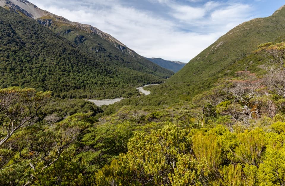 33Edwards–Hawdon RouteA remote 2–3 day crossing over alpine passes, for expert trampers.
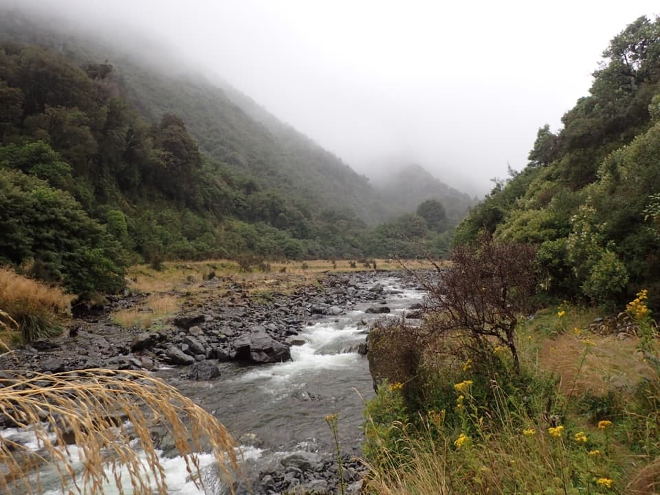 34Harper Pass RouteA historic alpine crossing with rivers, a high pass and remote huts.
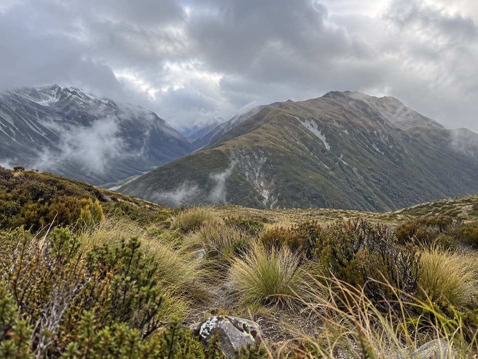 35Kellys Hill via Carroll HutA steep forest climb to an exposed summit and Tasman Sea views.
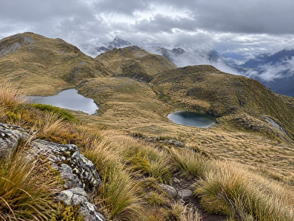 36Kelly Range Tarns via Carroll HutA steep hut climb opens to Kelly Range tarns and alpine views.
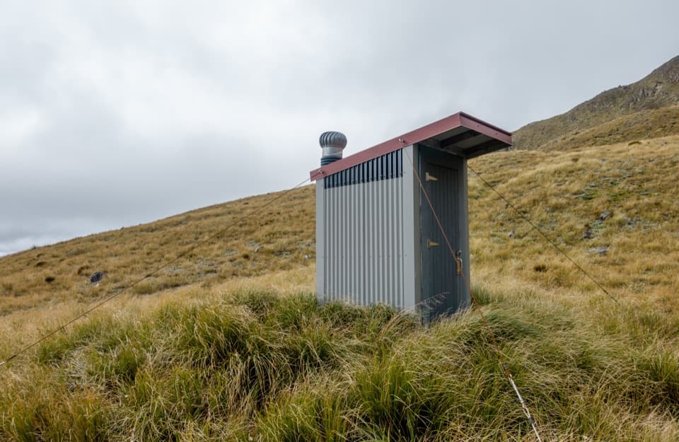 37Pfeifer Bivvy via Waharoa SaddleA remote bivvy above a rough creek climb and alpine saddle.
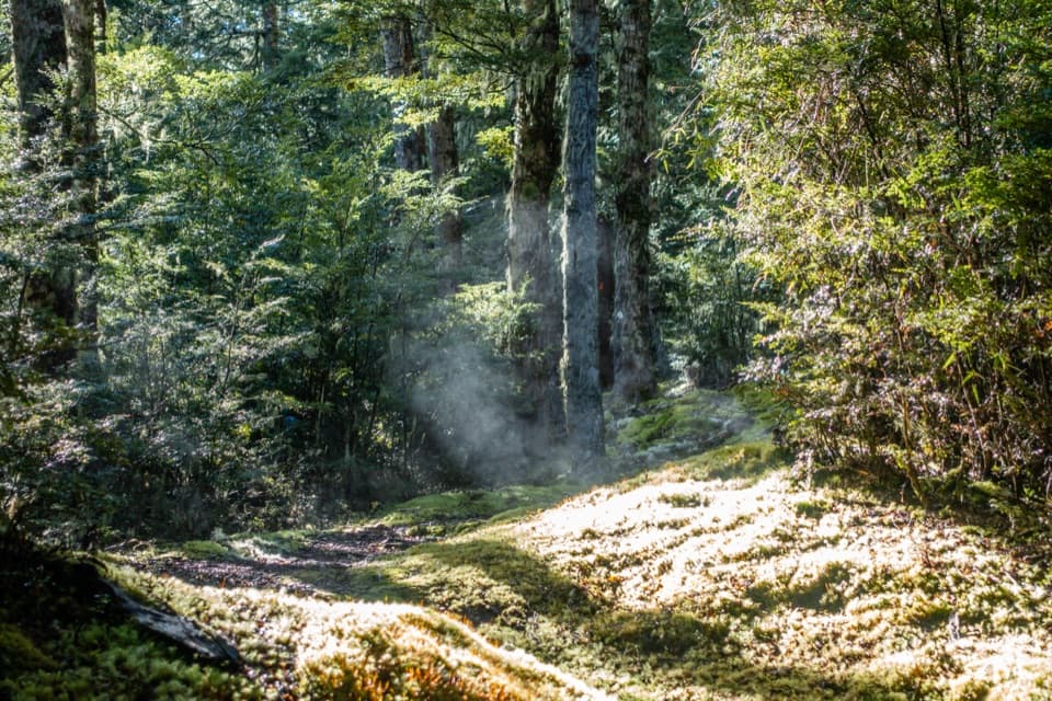 38Binser Saddle TrackA steep beech-forest climb to a grassy saddle.
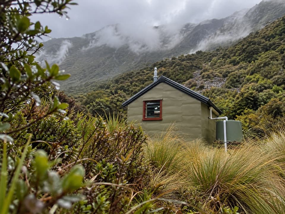 39Hunt Saddle Track to Hunts Creek Hut TrackA rough riverbed tramp to a hut in a high tussock basin.
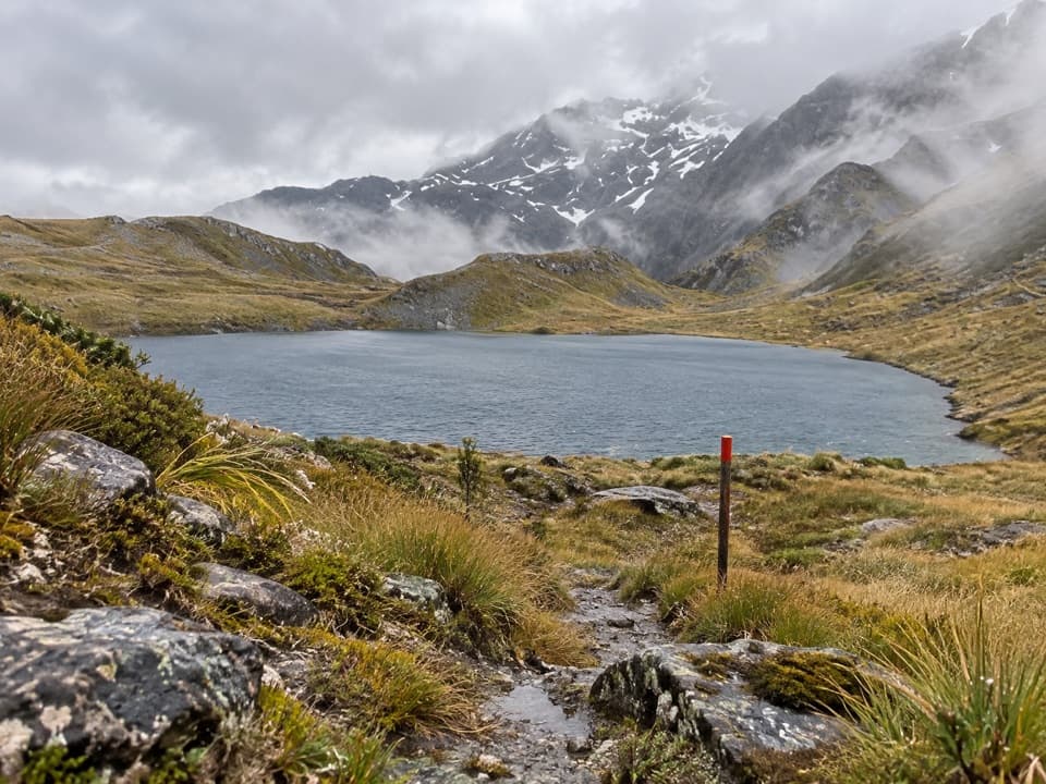 40Three Passes RouteA four-to-five-day expert crossing of three Southern Alps passes
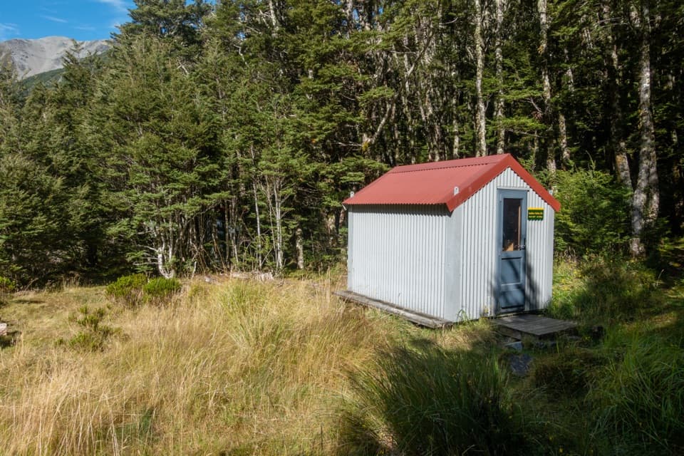 41Sudden Valley Bivvy RouteA rough river route to a tucked-away two-bunk bivvy.
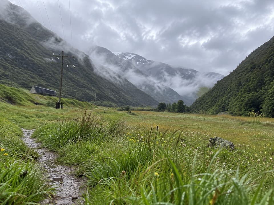 42JC’s TrackEasy river-flat walking with Rough Creek’s waterfalls across the valley.
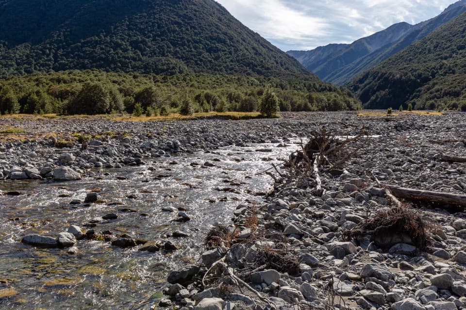 43East Hawdon Bivvy RouteA remote, unmarked river route to East Hawdon Bivvy.
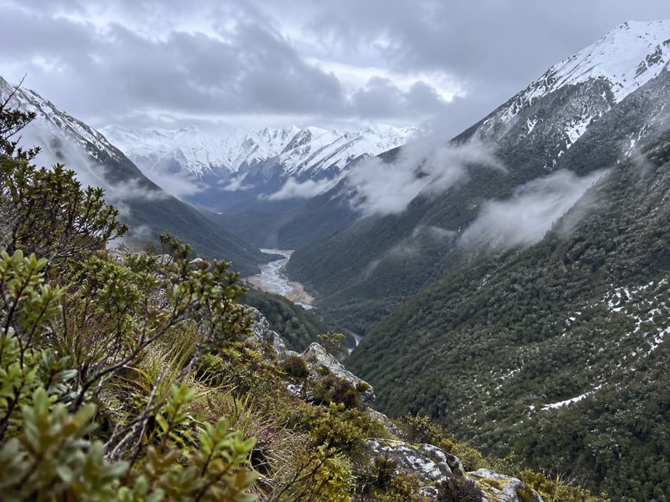 44Coral TrackA steep climb to treeline above the Bealey Valley.
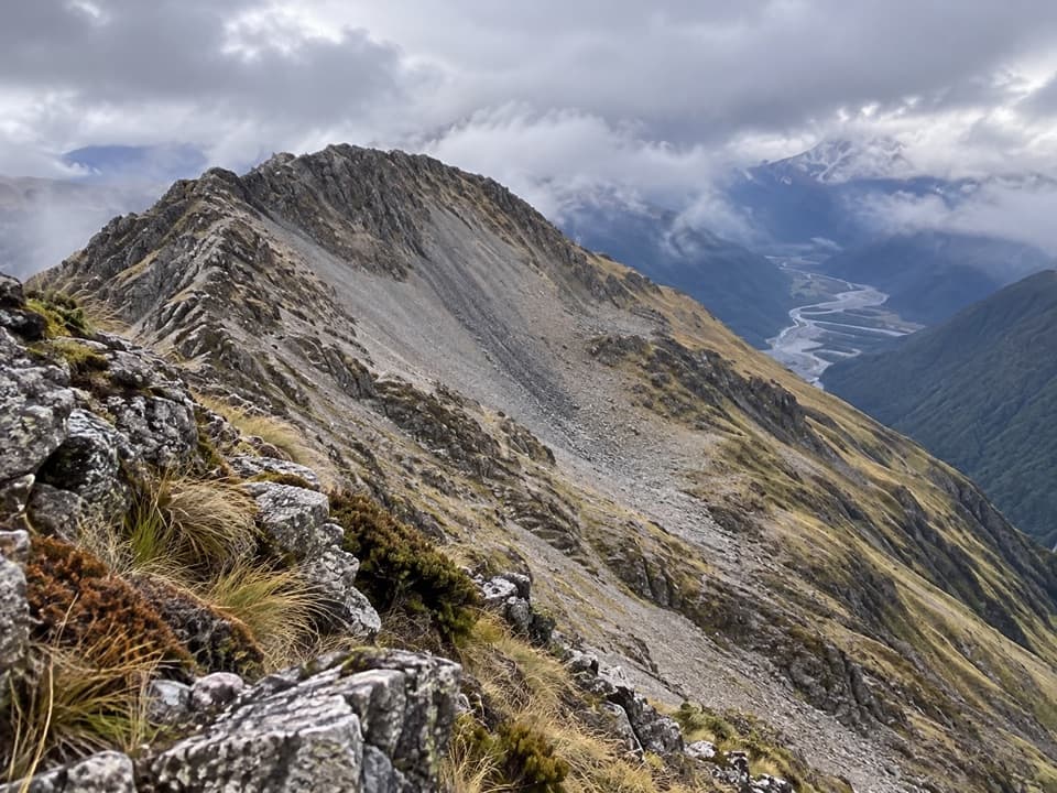 45Mt Barron RouteA full-day climb from Ōtira forest to a rocky alpine summit.
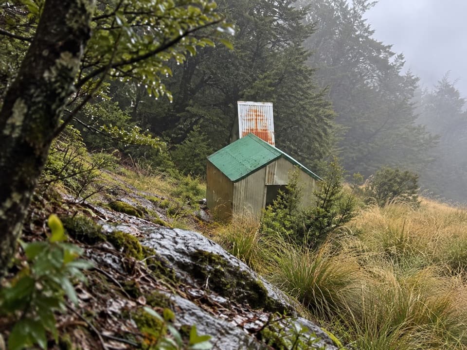 46Ranger Bivvy TrackA steep ridge climb to a tiny bivvy above the Poulter.
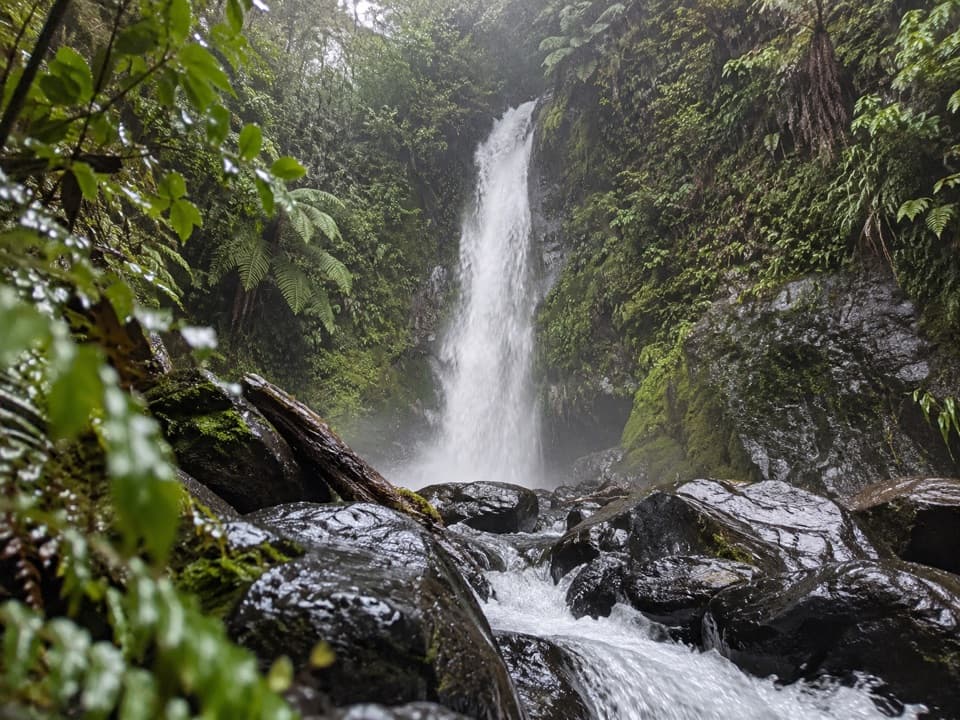 47Ngarimu Waterfall TrackA short native-bush walk to Ngarimu Waterfall
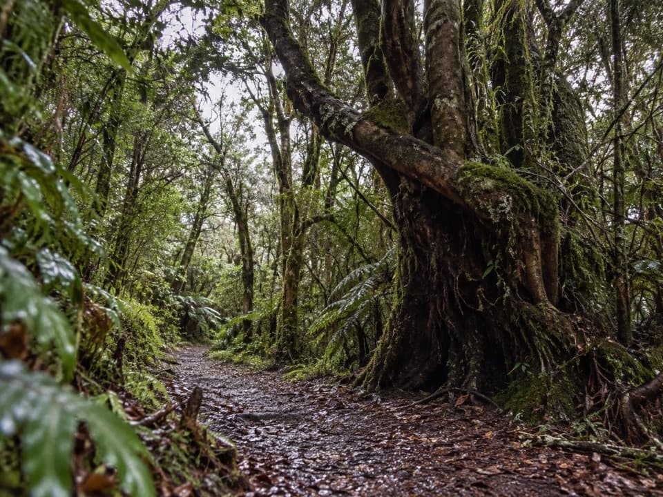 48Ngarimu Walking TrackA rainforest climb to Jacksons’ old quartz-mine workings.
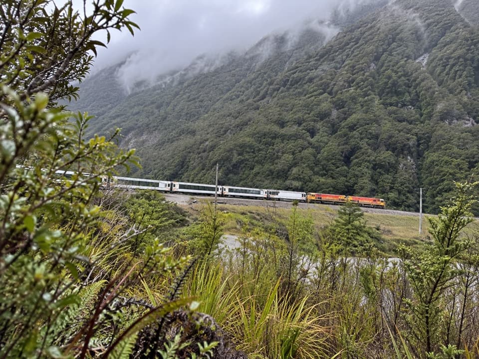 49Morts LoopA short beech loop along the Bealey River flats.

The highest, rockiest slopes around here are a summer buffet for grizzly bears.
Arthur's Pass Tour Guide
Arthur's Pass, narrated.
Parkwolf is a GPS audio tour guide for Arthur's Pass National Park. As you drive, it chimes in with what’s ahead: hidden gems, upcoming stops, history, geology, and wildlife, right through your car’s speakers.
Recorded for this place
Devils Punchbowl Falls0:00 / 0:25
“You're approaching the start of the Devils Punchbowl Falls walk, where a hundred-and-thirty-one-metre waterfall drops from a glacial hanging valley.”
Plays as you drive up to Devils Punchbowl Falls in the Parkwolf Arthur's Pass Tour Guide.
More stories near here in the app
- Arthur's Pass Café and Store
- Avalanche Creek Shelter Campsite
- Avalanche Peak from the Village
- Arthur's Pass Visitor Centre
- 42 audio storiesacross Arthur's Pass’s roads, triggered by GPS as you drive
- Wildlife heatmapsfor Kea, New Zealand Falcon, Blue Duck, and 13 more
- Works offlinemaps, 49 trails, 59 places, and audio download before you lose signal
- CarPlay readysimple controls built for the drive
“Fantastic app with many points of information… It’s great to just turn on while you’re driving and it gives you an audio tour of the national Park. We love it!!!!”

