Parking
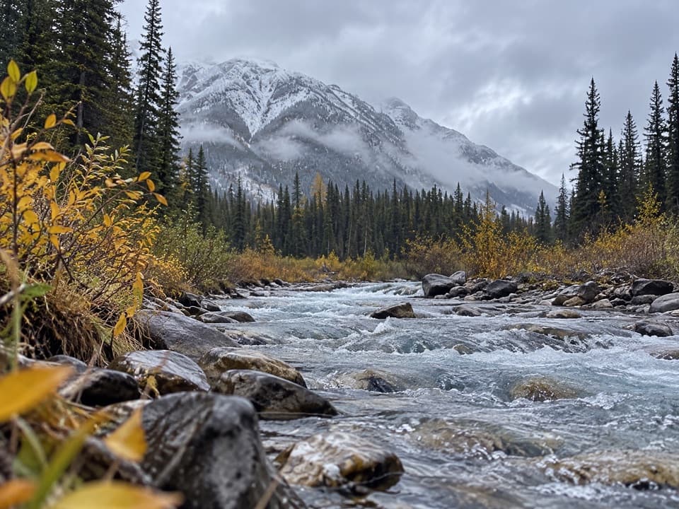
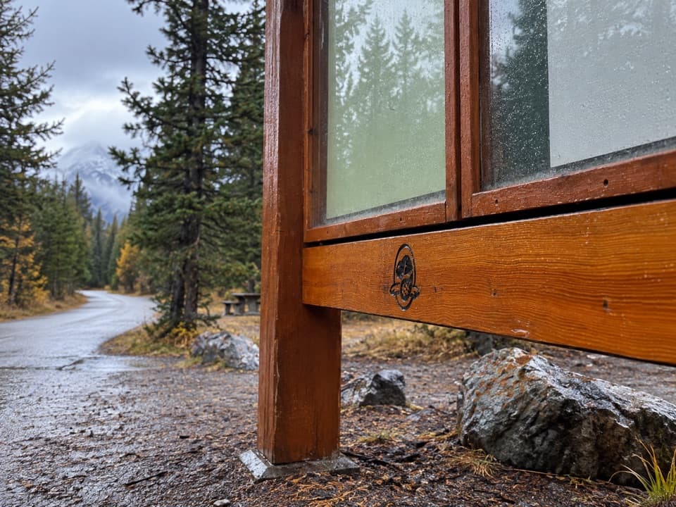
Use Healy/Brewster Trail Parking, on Sunshine Road about 1 km after its Highway 1 exit. Follow Healy Creek to Brewster Creek Junction; the named trail starts there.
Banff National Park, AB
A long creek-valley walk ends at a backcountry lodge.
Overview
Map & elevation
Plan your hike

The highest, rockiest slopes around here are a summer buffet for grizzly bears.
Banff Tour Guide
Parkwolf is a GPS audio tour guide for Banff National Park. As you drive, it chimes in with what’s ahead: hidden gems, upcoming stops, history, geology, and wildlife, right through your car’s speakers.
See the Banff audio tourRecorded for this trailhead
Healy and Brewster Creek: The Walk to Sundance Lodge“You're nearing the Healy Creek and Brewster Creek trailhead on Sunshine Road. Choose Brewster Creek for a long creek-valley walk, about twenty kilometres return and six to seven hours.”
Plays as you drive up to this trailhead in the Parkwolf Banff Tour Guide.
More stories near here in the app
“…Loved the commentary as you drove thru. I’m sure the app can do more than I know but the tips were very helpful. I’m gonna use it when we go to Banff next month.”


Trail guide
This is an out-and-back from Healy/Brewster Trail Parking to Sundance Lodge. Follow the Healy Creek Trail about 1.6 km to Brewster Creek Junction, then climb 8.5 km one way on the named Brewster Creek segment. That makes roughly 10 km each way, or about 20 km (12.5 miles) round trip. Allow around 6–7 hours for the day. The steady climb and return distance make this a proper outing, not a quick lodge stroll.
Sundance Lodge is the destination, but its services are for booked guests. Day hikers should plan to turn around there rather than count on lodge services.
The route starts with the Healy Creek connector from the parking lot to Brewster Creek Junction, where the named trail begins. From there, a double track climbs steadily up the Brewster Creek valley to Sundance Lodge. Retrace the same track for the return. Another approach from Cave and Basin follows the Sundance and Healy trails; it is not included in the distance above.
Commercial horse traffic uses Brewster Creek, so expect to share the track and yield to riders. The route can become very muddy in wet weather, especially in spring and fall; Parks Canada advises against using it when wet. Dogs are allowed on Banff trails in summer unless a restriction is posted, and must stay leashed and under physical control.
Wildlife
 123 sightingsGrizzly BearMost seen around 6 AMSighting map
 150 sightingsBrown BearMost seen around 6 PMSighting map
 44 sightingsGray WolfMost seen around 6 AMSighting map
 12 sightingsRiver OtterMost seen around 8 PMSighting map
 69 sightingsMooseMost seen around 8 PMSighting map
 466 sightingsBlack BearMost seen around 9 PMSighting map
Sighting maps show where each species has been reported across Banff. Wildlife moves, so no sighting is guaranteed.
Keep exploring
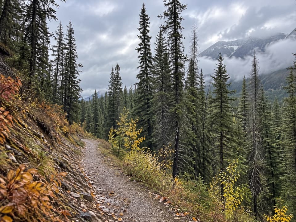
 EasyHealy Creek Trail5.5 km · 1.8 hr · At the trailheadA gentle forest walk ending at the Sundance Trail junction.
 ModerateBanff Legacy Trail24.5 km · 6.5 hr · 2.7 km awayA long paved route with an on-road link through Banff
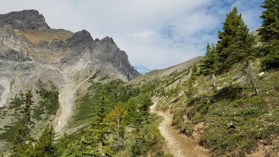 ChallengingCory Pass Loop12.8 km · 6 hr · 3.2 km awayA rugged loop over Cory and Edith passes through Gargoyle Valley
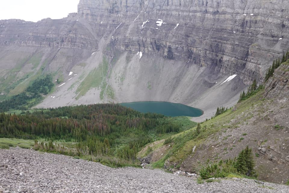 ChallengingHarvey Pass Trail17.8 km · 6.5 hr · 3.5 km awayA long climb through lake country to open Harvey Pass views.ChallengingBourgeau Lake Trail13.4 km · 6 hr · 3.5 km awayA long climb to a lake beneath a glacial amphitheatre.ChallengingMount Bourgeau Trail22.3 km · 8 hr · 3.5 km awayA long climb earns a lake, alpine pass and broad summit views.
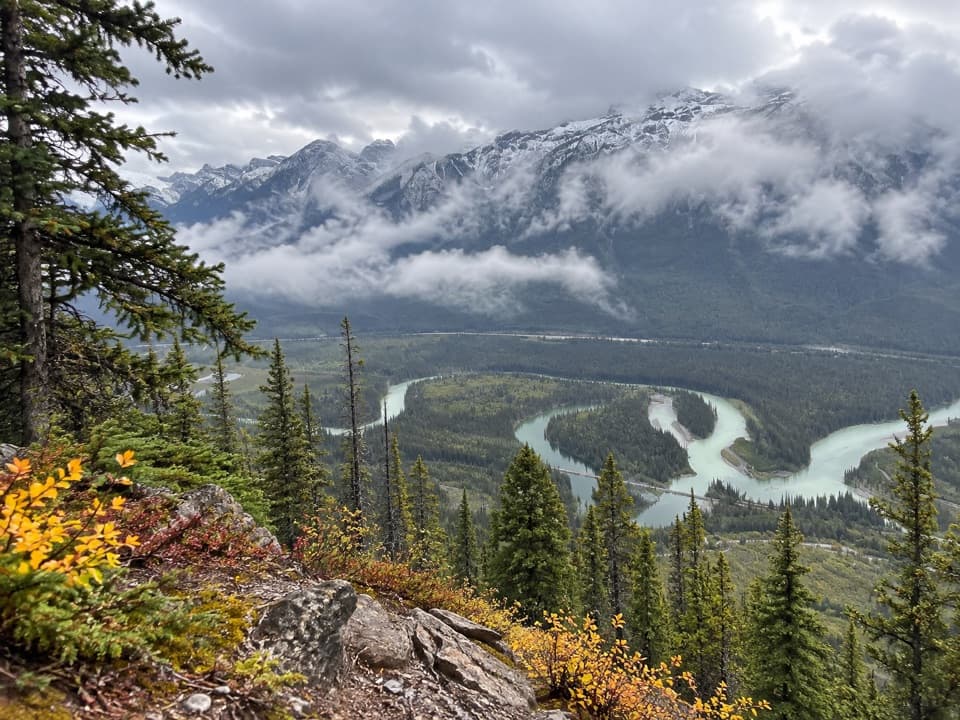 ChallengingMuleshoe Ridge Trail5.5 km · 4 hr · 3.8 km awayA steep climb earns a wide Bow Valley oxbow view.
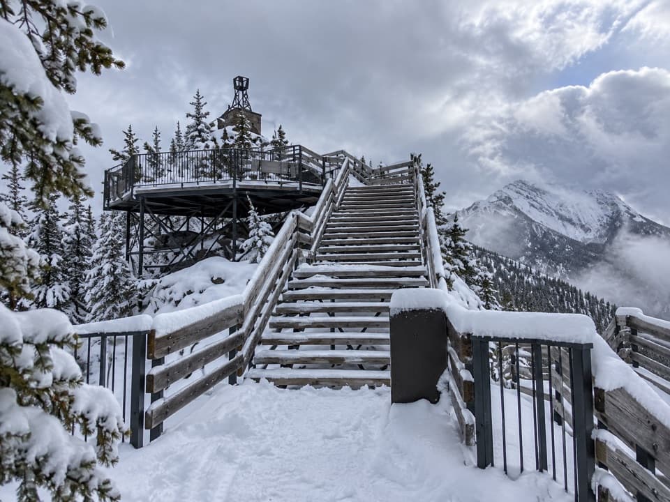 ChallengingSulphur Mountain Westside Trail5.4 km · 4 hr · 4.6 km awayA steep, rocky west-side climb to the upper mountain.
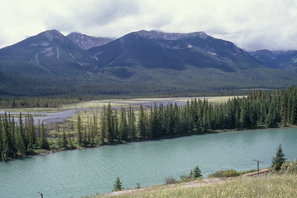 Scenic pullout · 1.8 km awayBackswamp ViewpointA quick Bow Valley stop with the river and Bourgeau in view.
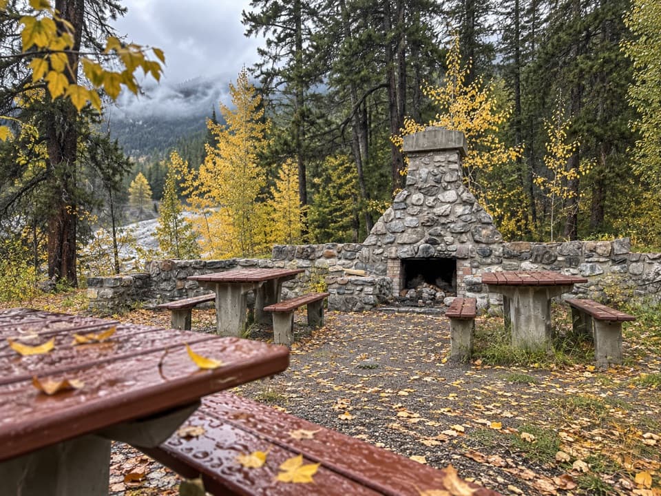 Picnic area · 3.2 km awayFireside Day-use AreaA quick picnic stop with trail access at the Parkway's eastern end.
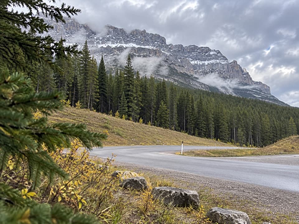 Picnic area · 3.7 km awayMuleshoe Picnic AreaPicnic tables, outhouses and a chance to watch for birds.
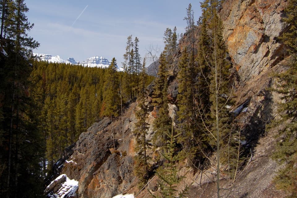 Sight · 5 km awaySundance CanyonA tight gorge and small waterfall reward the long approach.
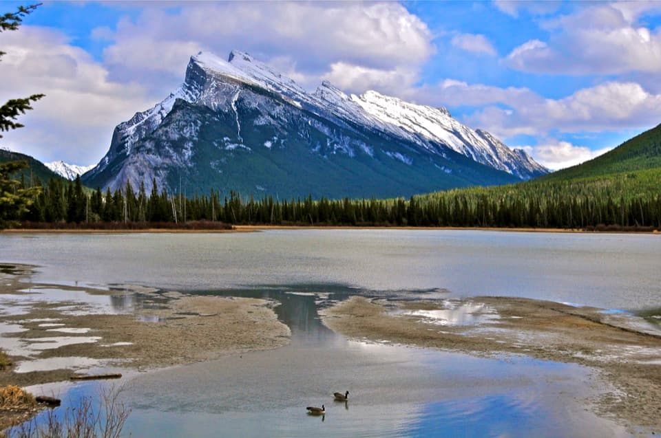 Sight · 6.4 km awayVermilion LakesDocks and marsh reflections frame Mount Rundle.
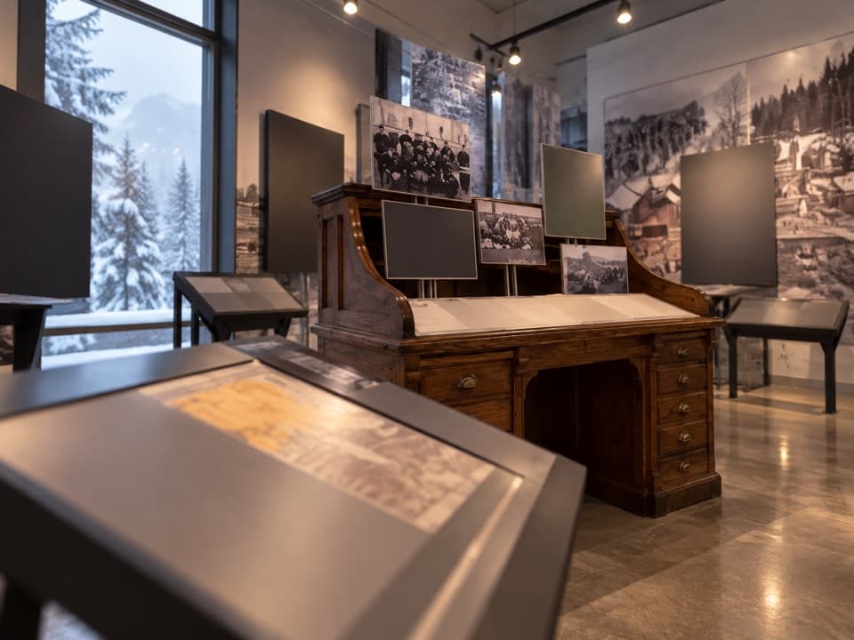 Sight · 6.7 km awayFirst World War Internment ExhibitA compact exhibit connects wartime internment with national park roads.
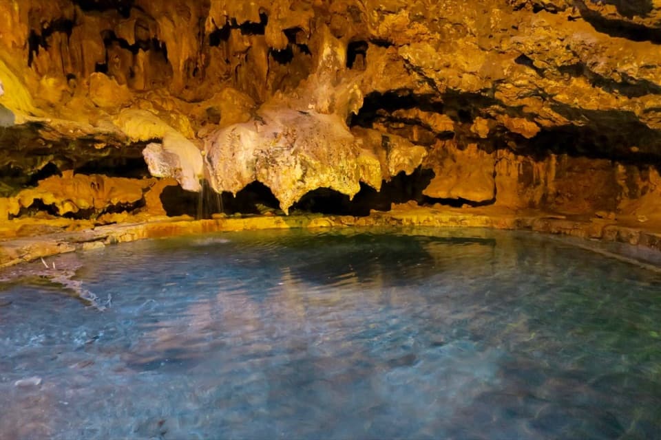 Sight · 6.8 km awayCave and Basin National Historic SiteA cave, warm springs, and the start of Canada's national parks.
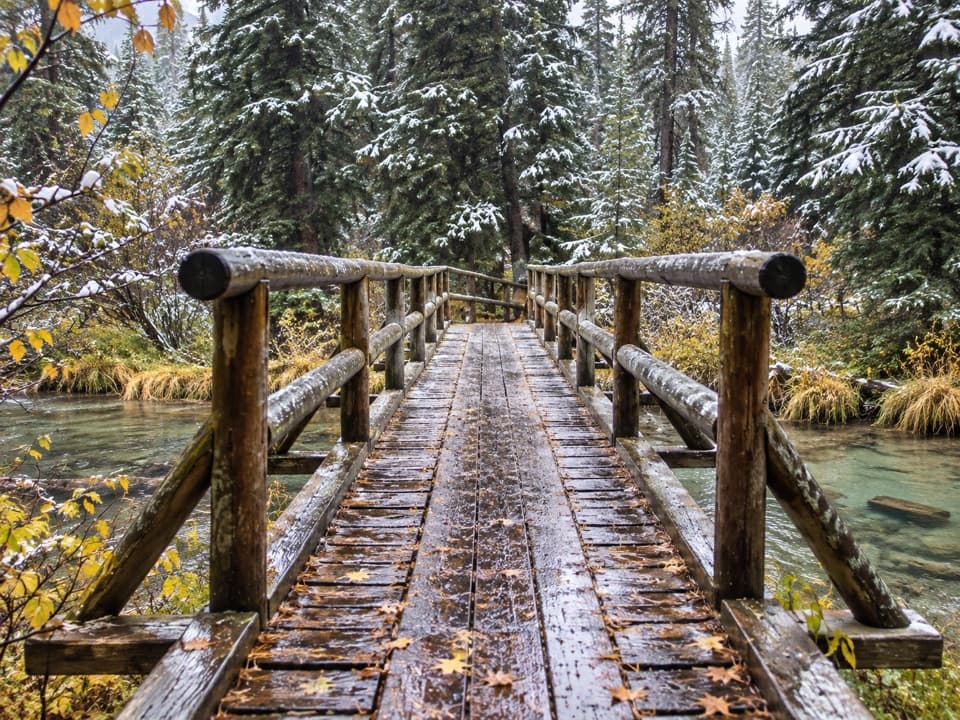 Picnic area · 8 km awayFenland Day-use AreaA low-key picnic break, with an easy creekside loop close by.
Parkwolf’s Banff ranking

The audio tour guide for the drive, plus offline maps, trails, and wildlife heatmaps for when the signal drops.





