Parking
Reach the signed pass fork on foot via Cave and Basin, the Sundance Trail and the Healy Creek junction. The route finishes at Spray River Road, so arrange a ride or a longer return route.
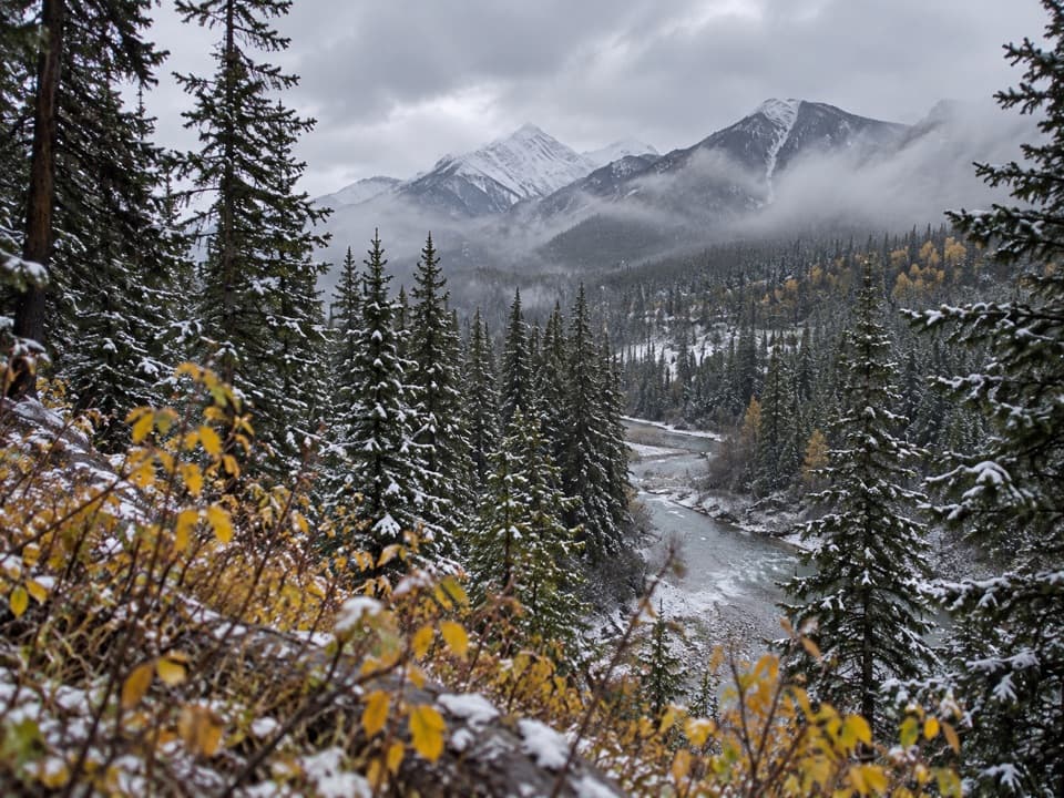
Banff National Park, AB
A forested pass route ends with a rough creek descent.
Overview
Map & elevation
Plan your hike

The highest, rockiest slopes around here are a summer buffet for grizzly bears.
Banff Tour Guide
Parkwolf is a GPS audio tour guide for Banff National Park. As you drive, it chimes in with what’s ahead: hidden gems, upcoming stops, history, geology, and wildlife, right through your car’s speakers.
See the Banff audio tourRecorded for this area
Cave and Basin: Springs and Stories“Cave and Basin National Historic Site is coming up, with a small cave, warm mineral springs and short boardwalks. I'd allow two to three hours for the exhibits and walks, rather than just ducking into the cave.”
Plays on the road 2.6 km from the trailhead in the Parkwolf Banff Tour Guide.
More stories near here in the app
“…Loved the commentary as you drove thru. I’m sure the app can do more than I know but the tips were very helpful. I’m gonna use it when we go to Banff next month.”


Trail guide
Sundance Pass Trail is a 12 km (7.5 mile) one-way route from a signed junction on the Sundance and Healy trail corridor to Spray River Road. Allow about six hours and arrange the far-end logistics before starting; the route does not loop back. The junction sign reports 12 km to Spray River, while the mapped line is shorter, so use the trace to follow the corridor rather than as a precise mileage measure. The often-mentioned 28 km Cave and Basin to Banff Springs outing adds the approach and exit; it is a different, longer traverse.
From Cave and Basin, follow the Sundance Trail toward Sundance Canyon. At the Healy Creek junction, turn toward the canyon; the Sundance Pass fork is about 600 m farther on. Take the signed branch uphill. The other end reaches Spray River Road, so this works only as a point-to-point trip unless you add a return route or arrange a ride.
The trail stays below treeline for most of its length, with limited views. The east side climbs through a cut area where deadfall and snow can obscure the tread. Farther on, a short opening in the trees leads to a small meadow and then a narrow strip of open ground across a very flat pass. The top is easy to miss because the grade changes little; this is a wooded crossing, not a sharp summit with a wide panorama.
The descent reaches creek crossings, steep banks and deadfall before easing toward Spray River Road. A winter route report describes one bridge and another crossing on a log, but their present condition is unverified. Maps also disagree about which side of Sundance Creek the trail follows, so treat the digital line as approximate and check current route information before committing. This is a winter backcountry route; keep bear spray accessible. Parks Canada requires any permitted dogs to stay leashed, but trail-specific winter dog permission was not established.
Wildlife
 123 sightingsGrizzly BearMost seen around 6 AMSighting map
 150 sightingsBrown BearMost seen around 6 PMSighting map
 44 sightingsGray WolfMost seen around 6 AMSighting map
 12 sightingsRiver OtterMost seen around 8 PMSighting map
 69 sightingsMooseMost seen around 8 PMSighting map
 466 sightingsBlack BearMost seen around 9 PMSighting map
Sighting maps show where each species has been reported across Banff. Wildlife moves, so no sighting is guaranteed.
Keep exploring
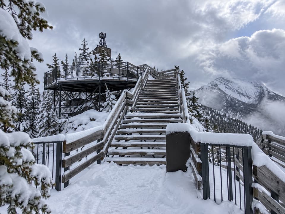 ChallengingSulphur Mountain Westside Trail5.4 km · 4 hr · 1.7 km awayA steep, rocky west-side climb to the upper mountain.
 EasySulphur Mountain Boardwalk1.1 km · 36 min · 2.5 km awayRidge views reward 368 shallow stairs each way.
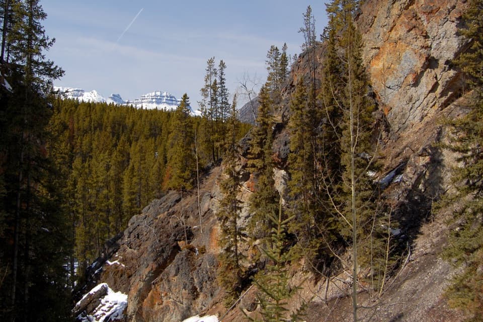 ModerateSundance Canyon Loop9 km · 3 hr · 2.5 km awayA smooth paved approach ends at a rugged creekside canyon loop.
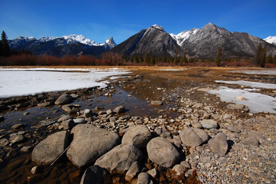 EasySundance Trail7.4 km · 2 hr · 2.5 km awayA paved river walk ending at a creekside picnic area.
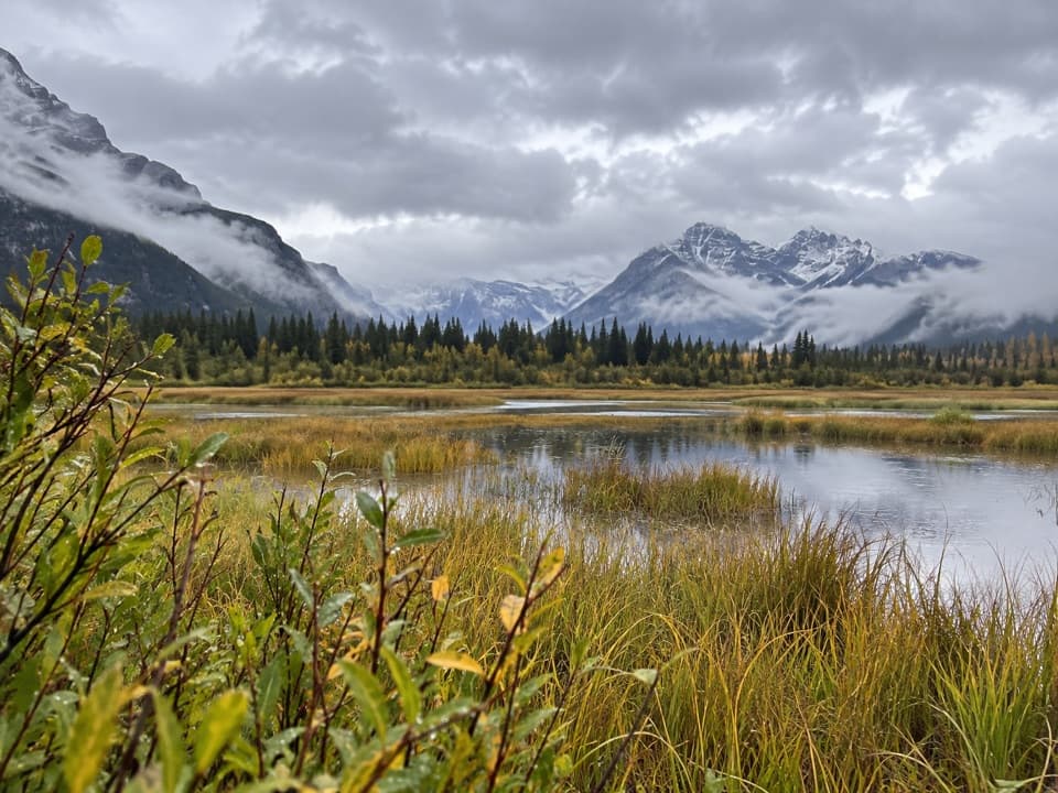 EasyMarsh Loop2.8 km · 1 hr · 2.6 km awayA short loop around a wetland fed by Sulphur Mountain hot springs.
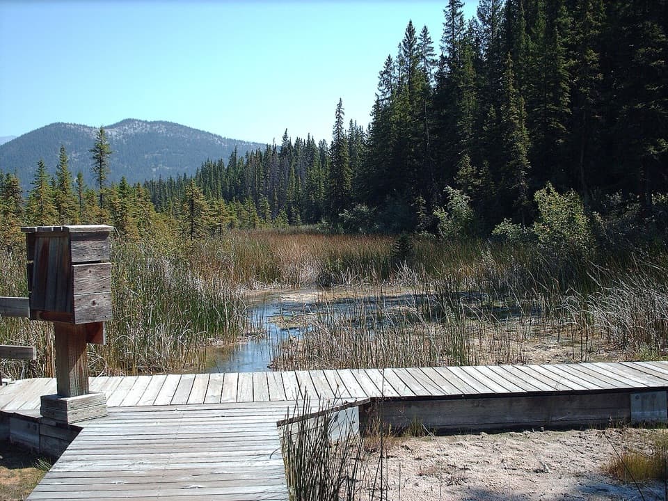 EasyCave and Basin Trail: Lower Boardwalk0.5 km · 20 min · 2.6 km awayA short boardwalk for a close look at wetland life.
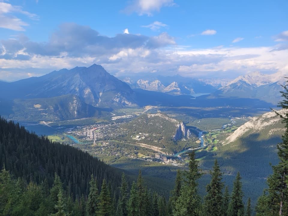 ModerateSulphur Mountain Trail9.6 km · 4 hr · 3.5 km awaySwitchbacks earn a summit panorama over the Bow Valley.
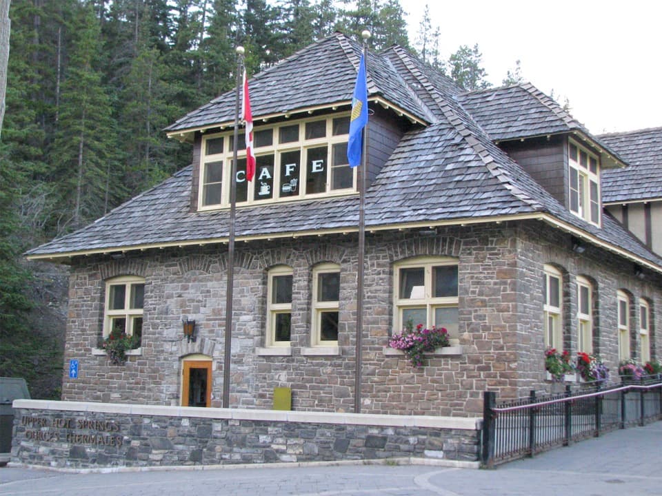 ModerateUpper Hot Springs Trail1.6 km · 30 min · 3.6 km awayA short wooded climb links the hotel to the hot-springs pool.Sight · 0.5 km awaySundance CanyonA tight gorge and small waterfall reward the long approach.
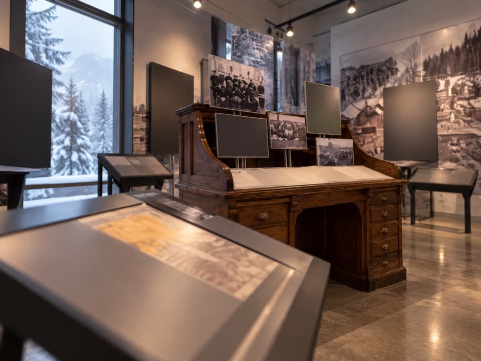 Sight · 2.5 km awayFirst World War Internment ExhibitA compact exhibit connects wartime internment with national park roads.
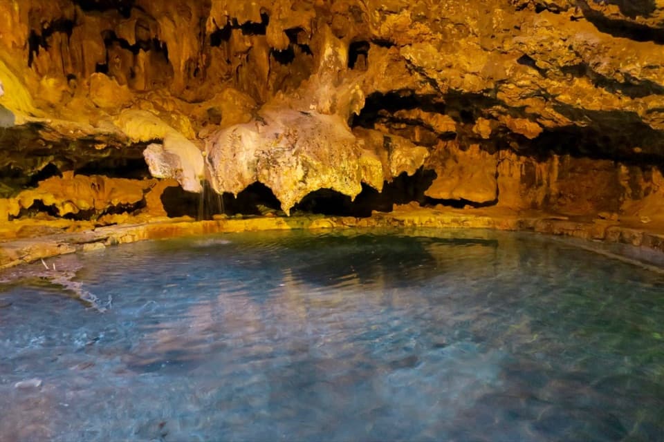 Sight · 2.6 km awayCave and Basin National Historic SiteA cave, warm springs, and the start of Canada's national parks.Sight · 3.4 km awayBanff Upper Hot SpringsA hot soak beneath the jagged peaks of Rundle and Cascade.
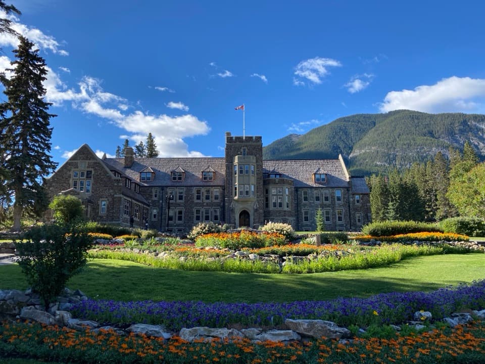 Sight · 3.6 km awayCascade of Time GardensA garden pause with terraces, flowers and small waterfalls.
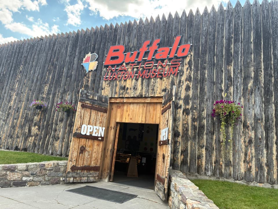 Sight · 3.6 km awayBuffalo Nations MuseumA compact museum for First Nations histories and art in the Rockies.
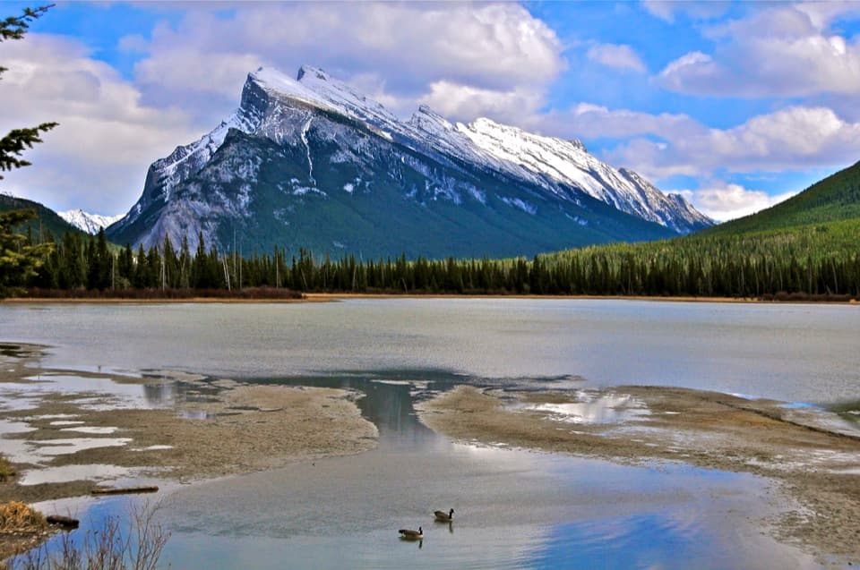 Sight · 3.6 km awayVermilion LakesDocks and marsh reflections frame Mount Rundle.
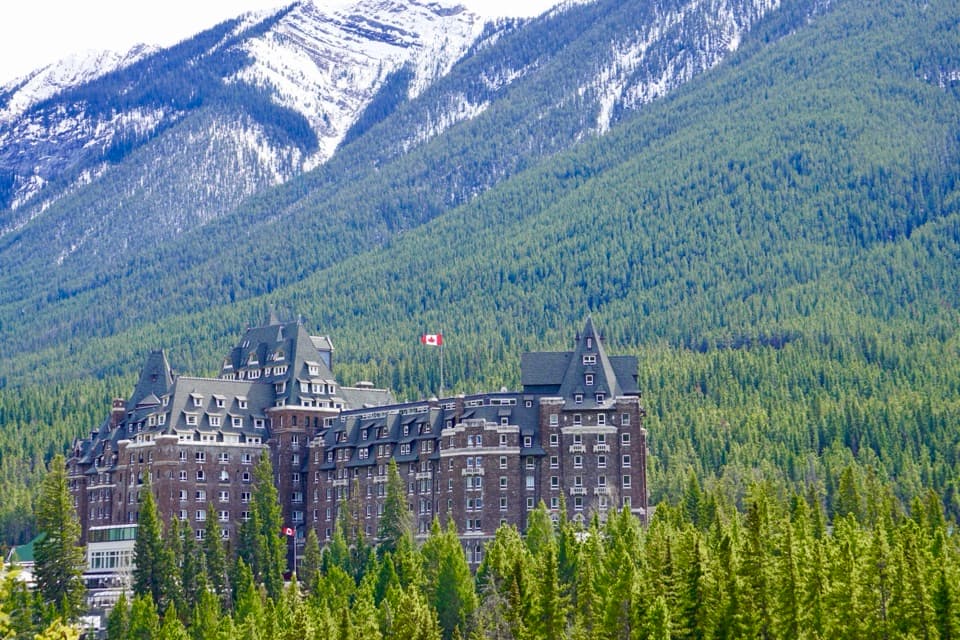 Sight · 3.7 km awayFairmont Banff SpringsA castle-style hotel welcoming guests since 1888.
Parkwolf’s Banff ranking

The audio tour guide for the drive, plus offline maps, trails, and wildlife heatmaps for when the signal drops.





