Parking
Use the Mount Norquay Ski Area parking area at the end of Mount Norquay Road, about 7 km north of Banff. Parks Canada places the trailhead kiosk at the south end of the lot; walk to the day lodge for the service-road approach.
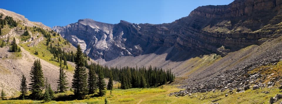
Banff National Park, AB
A long forest climb opens into the meadow beneath Cascade Mountain.
Overview
Cascade Amphitheatre is a long out-and-back from the Mount Norquay Ski Area to a meadow basin below Cascade Mountain. Plan on 13.6 km (8.5 mi) round trip, about six hours, with 740 m of climbing and 200 m of descent. It suits hikers after a full mountain day; the forest covers much of the approach, so the reward comes late. The walk drops toward Forty Mile Creek before the climb, and you regain that ground on the way out.
 Parkwolf’s verdictThe meadow is the payoff
Map & elevation
Plan your hike

The highest, rockiest slopes around here are a summer buffet for grizzly bears.
Banff Tour Guide
Parkwolf is a GPS audio tour guide for Banff National Park. As you drive, it chimes in with what’s ahead: hidden gems, upcoming stops, history, geology, and wildlife, right through your car’s speakers.
See the Banff audio tourRecorded for this trailhead
Mount Norquay: The Big Chair and Cliffhouse“Up ahead is Mount Norquay, where the seasonal sightseeing chairlift takes you above Banff in an open-air seat. Choose this if you'd like the mountain view without a summit climb.”
Plays as you drive up to this trailhead in the Parkwolf Banff Tour Guide.
More stories near here in the app
“…Loved the commentary as you drove thru. I’m sure the app can do more than I know but the tips were very helpful. I’m gonna use it when we go to Banff next month.”


Trail guide
The kiosk is at the south end of Mount Norquay’s parking area. Walk to the day lodge, then follow the gravel service road past the lifts to Mystic Express. The forest path starts there, with rock and root patches underfoot. It descends toward Forty Mile Creek; cross the bridge and follow the signed right branch toward the amphitheatre. The left branch leads toward Elk Lake.
After the creek, the trail climbs through forest on a long series of switchbacks. It’s the quiet, steady part of the hike, with uneven footing and little scenery until the meadow opens. Save enough energy for the return: the early descent makes the last stretch back a climb too.
The maintained trail ends in an open meadow inside a natural amphitheatre, with steep rock walls rising around it and Cascade Mountain beyond. This is the turnaround; the summit route is a separate, challenging scramble that calls for proper equipment and route-finding. For a photo, keep some meadow and the low band of trees in the foreground so the enclosing cliffs read as a basin.
Wildlife
 123 sightingsGrizzly BearMost seen around 6 AMSighting map
 150 sightingsBrown BearMost seen around 6 PMSighting map
 44 sightingsGray WolfMost seen around 6 AMSighting map
 12 sightingsRiver OtterMost seen around 8 PMSighting map
 69 sightingsMooseMost seen around 8 PMSighting map
 466 sightingsBlack BearMost seen around 9 PMSighting map
Sighting maps show where each species has been reported across Banff. Wildlife moves, so no sighting is guaranteed.
Keep exploring
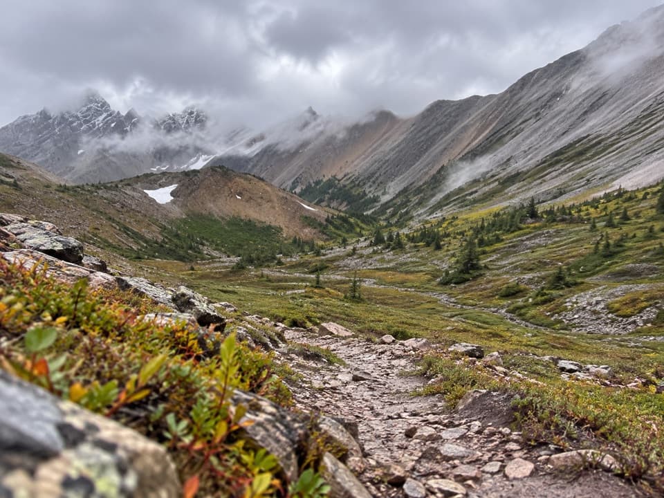 ChallengingMystic Pass Trail36.8 km · 18 hr · At the trailheadThree days from creek country over Mystic Pass to the Ink Pots.
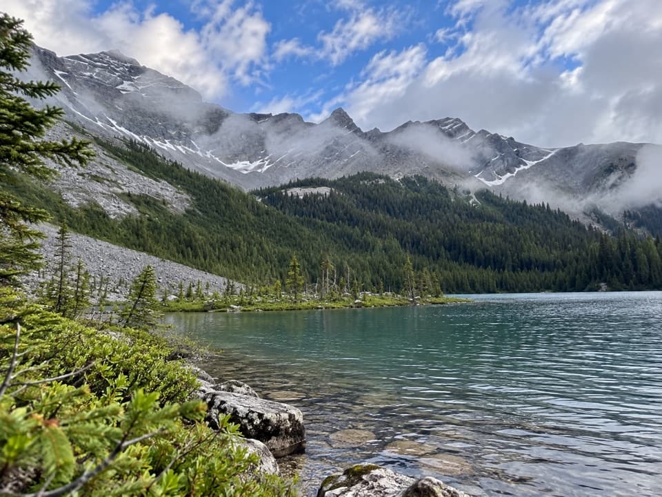 ModerateElk Lake Trail26.2 km · 10 hr · At the trailheadA long Norquay hike to a backcountry lake.
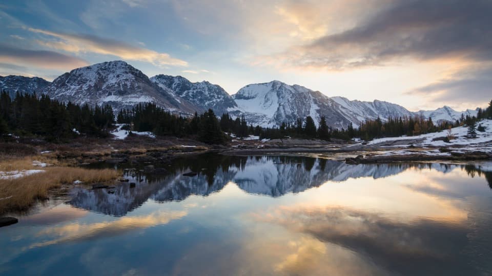 ChallengingSawback Trail74 km · 1.3 days · 0.1 km awayThree passes, several alpine lakes, and a week on foot.
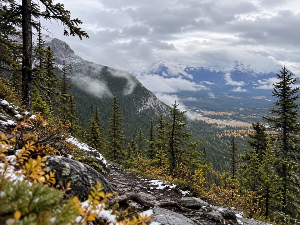 ModerateUpper Stoney Trail4.4 km · 1.5 hr · 0.3 km awayA rocky loop opens up to Cascade and Bow Valley views.
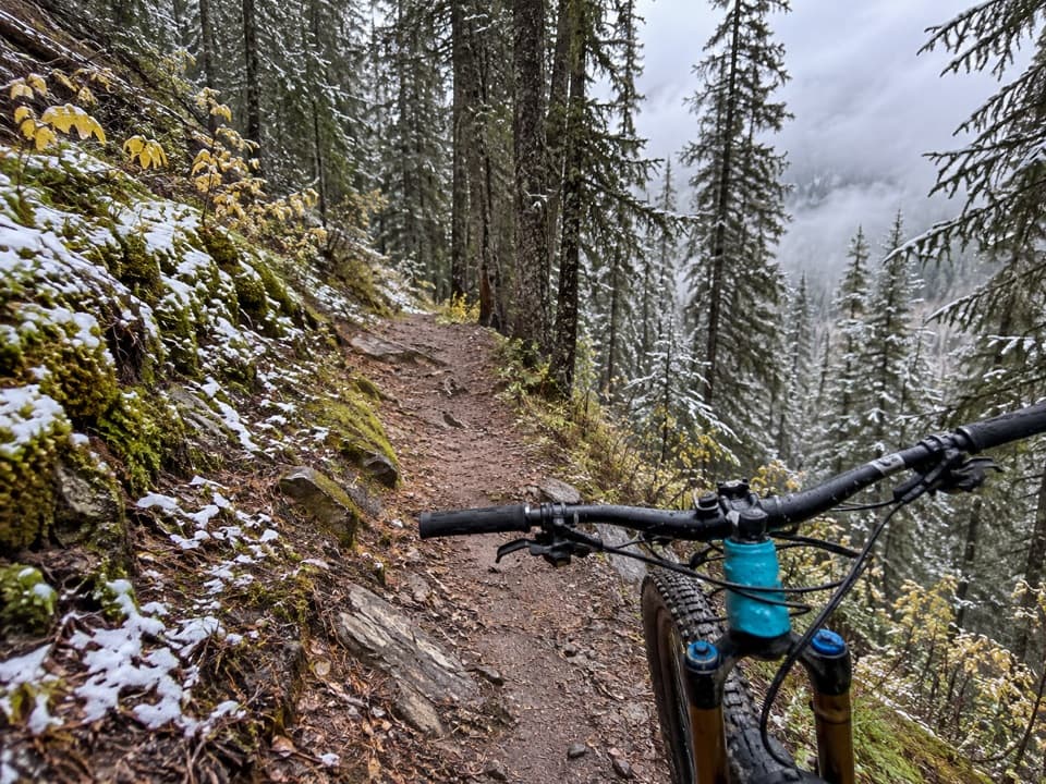 ModerateLower Stoney Trail4.2 km · 1.5 hr · 0.6 km awayA steep, rocky descent shared by bikes, hikers and horses.
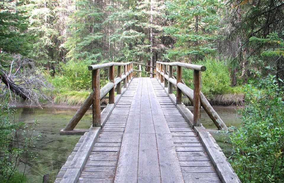 EasyFenland Loop1.9 km · 40 min · 2.4 km awayA gentle old-growth spruce loop just west of Banff.
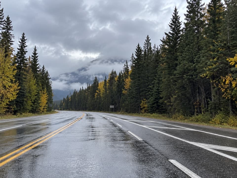 ModerateBanff Avenue Trail3.3 km · 1 hr · 3.6 km awayA rolling path through forest and meadow to Tunnel Mountain Road.
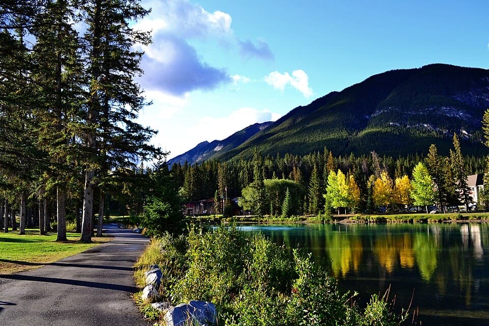 EasyBow River Trail to Bow Falls2.7 km · 1 hr · 3.7 km awayA short riverside walk to Bow Falls crosses a wooden footbridge.
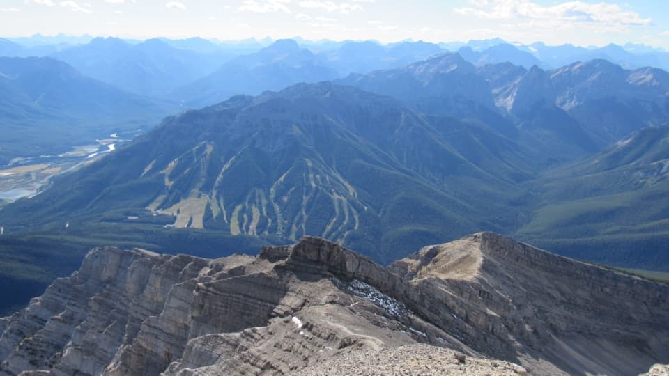 Sight · 0.2 km awayMt. NorquayAn open-air chairlift climbs to wide Bow Valley views.
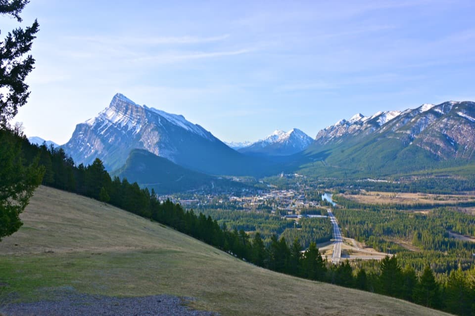 Scenic pullout · 1.1 km awayNorquay Green SpotTown, river and Rundle framed from a grassy roadside stop.
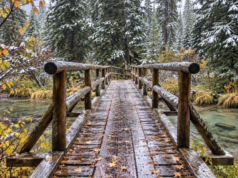 Picnic area · 2.4 km awayFenland Day-use AreaA low-key picnic break, with an easy creekside loop close by.
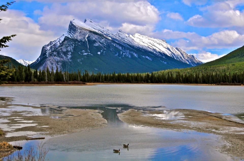 Sight · 2.4 km awayVermilion LakesDocks and marsh reflections frame Mount Rundle.
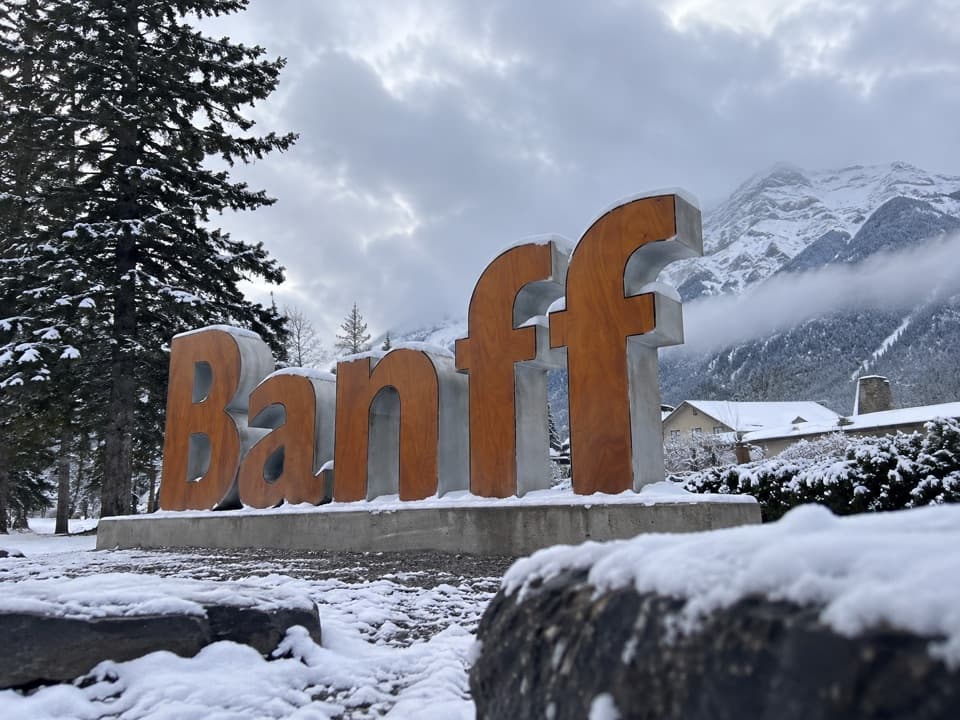 Sight · 2.9 km awayBanff SignBrown letters, mountain backdrop, and a quick station-side photo stop.
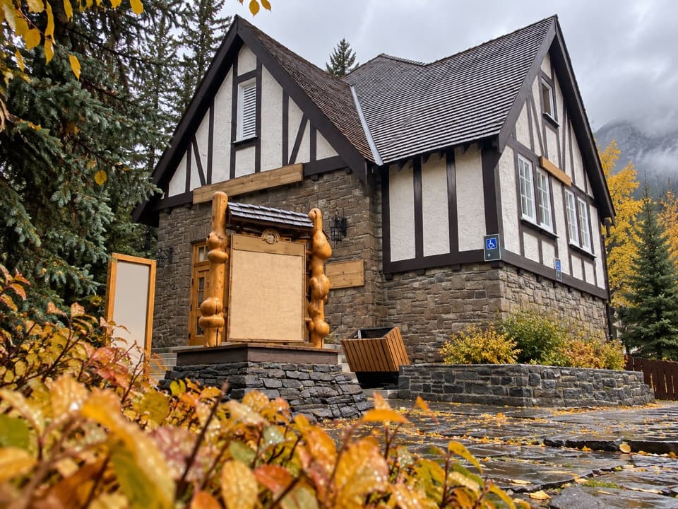 Visitor center · 3.4 km awayBanff Visitor CentreSort out permits, conditions and backcountry plans before you go.
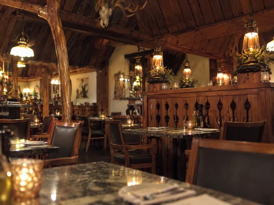 Restaurant · 3.4 km awayThe Grizzly HouseHot-rock steak, shared fondue and a dining room with a past.
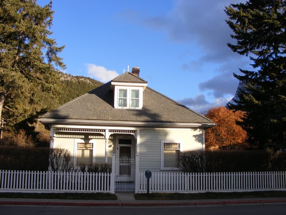 Sight · 3.5 km awayThe Historic Luxton HomeA family’s early town story, preserved in its home and garden.
Parkwolf’s Banff ranking
The audio tour guide for the drive, plus offline maps, trails, and wildlife heatmaps for when the signal drops.





