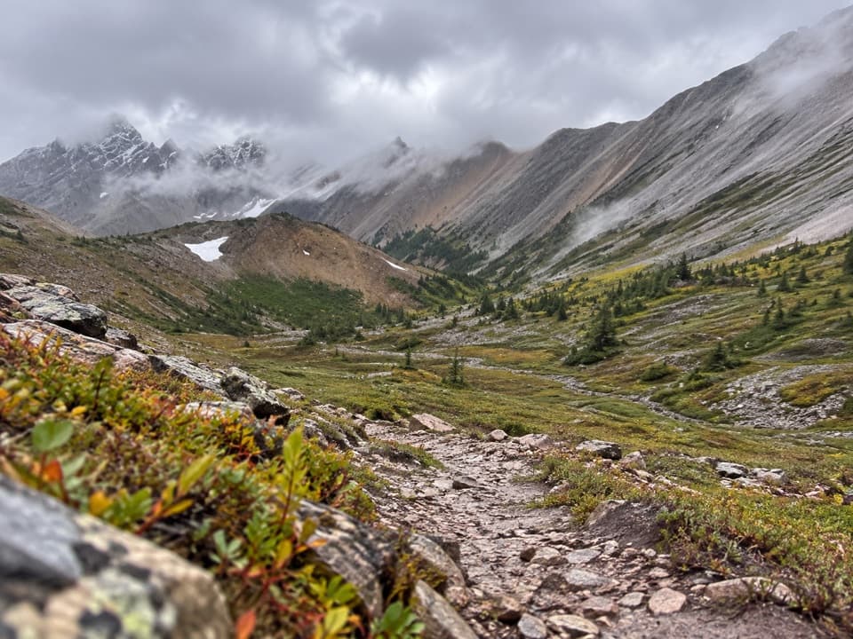
Mystic Pass Trail in Banff National Park

Banff National Park, AB

Mystic Pass Trail

Three days from creek country over Mystic Pass to the Ink Pots.

Length
36.8km
Time
18hr
Elev. change
835m
Difficulty
Challenging
  • Dogs allowed
  • High point 2,273 m

Hear the audio tour

Mount Norquay: The Big Chair and Cliffhouse

Overview

About Mystic Pass Trail

Why go

  • A true multi-day crossing links Mystic Lake, a high pass and the Johnston Creek valley.

Heads up

  • Two booked camp nights and point-to-point transport make for more planning than a day hike.

Map & elevation

The route

Loading the Banff map
Full map
Elevation1,438–2,273 m
TrailheadMount Norquay Ski Area parking lot51.20313, -115.59801
Keep this map with you offline in the Parkwolf app

Plan your hike

Before you go

Parking

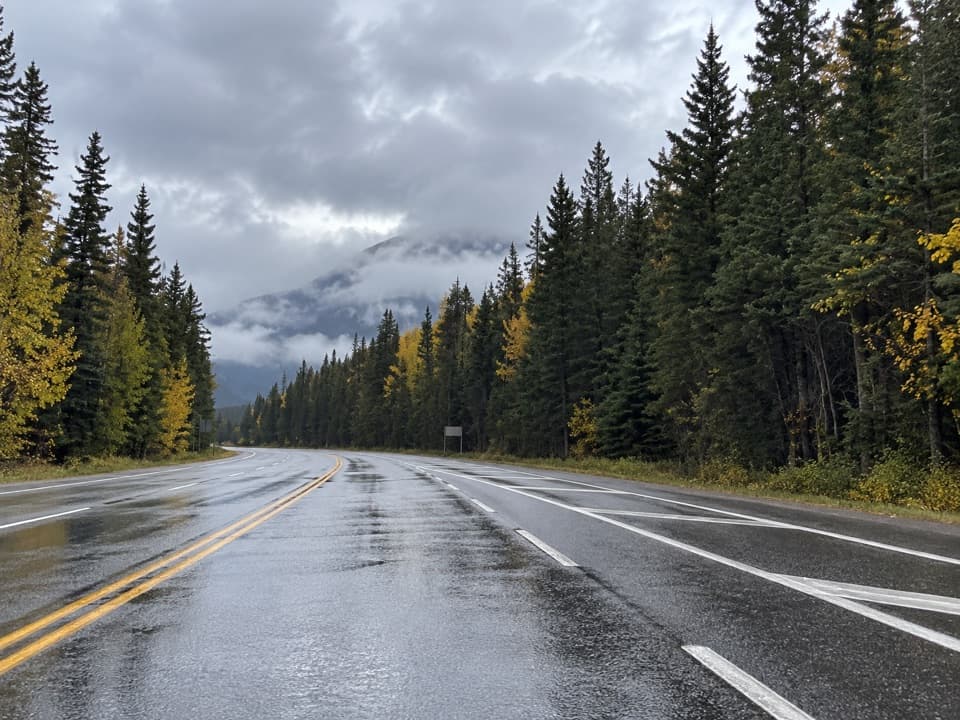
Start at the Mount Norquay Ski Area parking lot, reached by Mount Norquay Road from Banff. Finish at Johnston Canyon Day Use Area on the Bow Valley Parkway. This is a one-way trip, so arrange transport from the far end; the route does not return to Norquay.

Safety

This remote, multi-day mountain route has rocky and sometimes faint tread around braided creek sections, stream crossings and a high pass that may hold snow into summer. Carry bear spray, be comfortable with route-finding, and secure the backcountry permit and reservations for the overnight camps.

8 active Banff alerts

  • ClosureJohnston Canyon Trail and Day Use Area closedMentions Day Use Area, referenced in this guideJohnston Canyon Trail and Day Use Area are closed to all traffic and travel through December 11, 2026, because construction work requires protecting public and workers’ safety.Official details
  • ClosureBaker Lake and Hidden Lake campgrounds closed to campingCamping is prohibited at Baker Lake and Hidden Lake campgrounds through December 1, 2026, because a grizzly bear entered campsites and investigated tents and gear; the closures reduce risk to…Official details
See all 8 alerts
A park ranger sits on a dash-mounted phone, talking, as Parkwolf’s Tour Guide plays “Army Cutworm Moths: A Grizzly Bear Buffet” on Grand Loop Road below Dunraven Pass in Yellowstone
Parkwolf Tour GuideThe highest, rockiest slopes around here are a summer buffet for grizzly bears.

Banff Tour Guide

Your drive to Mystic Pass Trail, narrated.

Parkwolf is a GPS audio tour guide for Banff National Park. As you drive, it chimes in with what’s ahead: hidden gems, upcoming stops, history, geology, and wildlife, right through your car’s speakers.

See the Banff audio tour

Recorded for this trailhead

Mount Norquay: The Big Chair and Cliffhouse
0:00 / 0:35
“Up ahead is Mount Norquay, where the seasonal sightseeing chairlift takes you above Banff in an open-air seat. Choose this if you'd like the mountain view without a summit climb.”

Plays as you drive up to this trailhead in the Parkwolf Banff Tour Guide.

More stories near here in the app

  • Norquay Green Spot: Banff from Above
  • The Lake Left by a Block of Ice
  • The Muskrat’s Winter Breathing Hole
  • Fenland: Lunch and an Old Spruce Forest
  • 185 audio storiesacross Banff’s roads, triggered by GPS as you drive
  • Wildlife heatmapsfor Grizzly Bear, Brown Bear, Gray Wolf, and 13 more
  • Works offlinemaps, 162 trails, 90 places, and audio download before you lose signal
  • CarPlay readysimple controls built for the drive
★★★★★
“…Loved the commentary as you drove thru. I’m sure the app can do more than I know but the tips were very helpful. I’m gonna use it when we go to Banff next month.”
tesja22App Store review
Download Parkwolf on the App StoreGet Parkwolf on Google Play

4.7 from 8,600+ ratings

Trail guide

Hiking Mystic Pass Trail

The full traverseMystic Pass Trail is a 36.

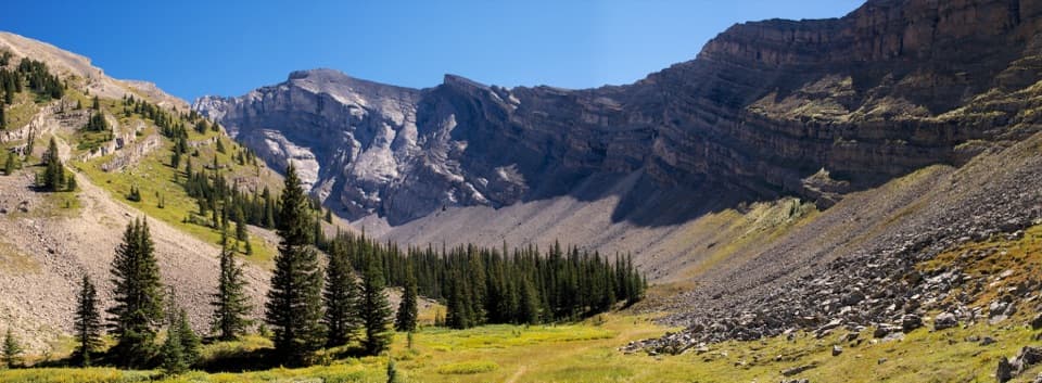
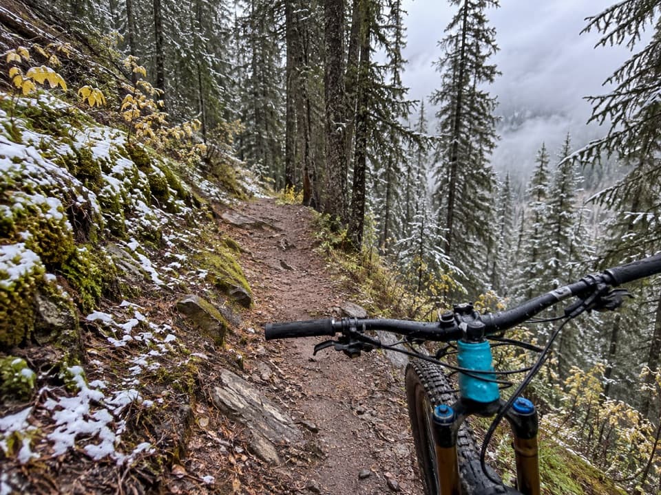
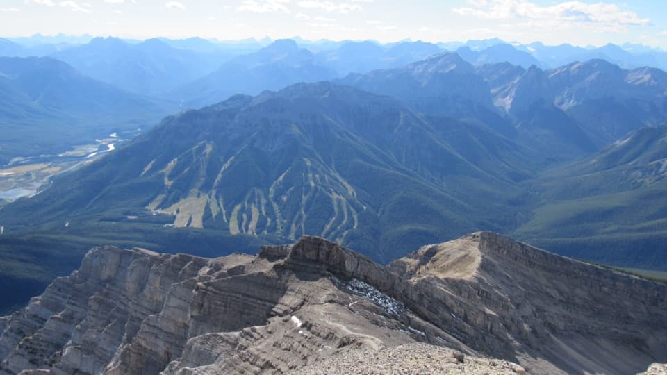
Mystic Pass Trail is a 36.8 km one-way, three-day backpack from the Mount Norquay ski area to Johnston Canyon. It follows Forty Mile Creek, passes Mystic Lake, crosses the high pass, then descends Johnston Creek to the Ink Pots and the Bow Valley Parkway. Plan for two nights: Mystic Junction (Fm19) the first night and Larry’s Camp (Jo9) the second. Allow about 18 hours of walking over three days, plus time for the lake, breaks and camp.

Day one: up Forty Mile CreekFrom the Mount Norquay parking lot, the route first crosses ski-area ground beneath the lifts…

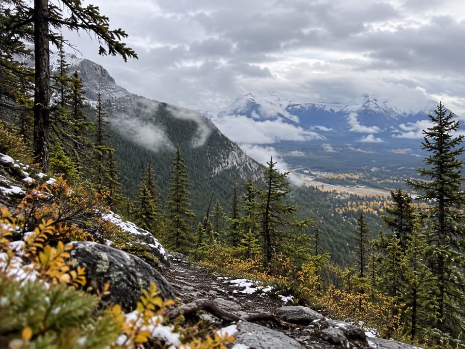
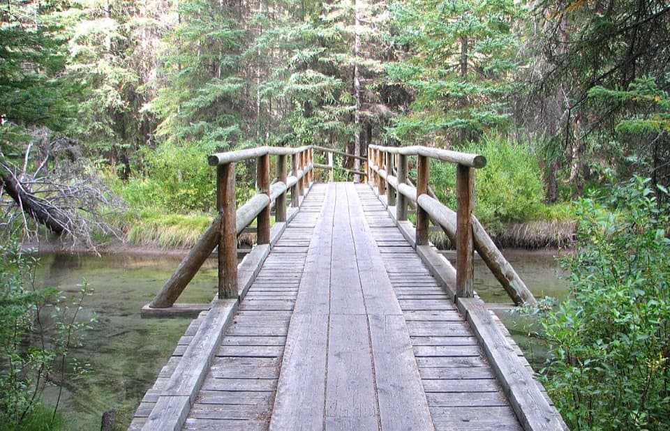
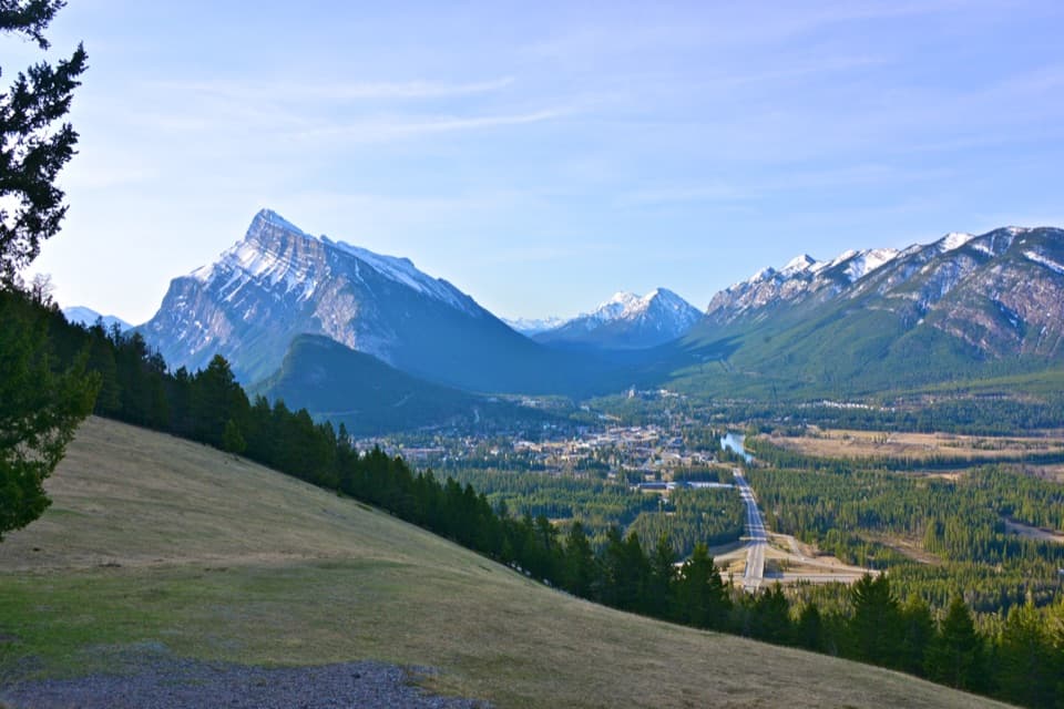
From the Mount Norquay parking lot, the route first crosses ski-area ground beneath the lifts before you reach the signed Fm10 junction and a defined trail. Follow Forty Mile Creek upstream through forest and streamside openings to Mystic Junction. The creek corridor is known bear habitat, and the tread can fade around wet braids, water crossings and rocks, so keep the route signs and map handy.

Day two: Mystic Lake and the passFrom Mystic Junction, the route heads toward Mystic Lake; the short side trip to the lake is a…

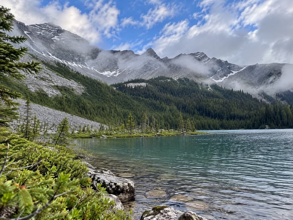
From Mystic Junction, the route heads toward Mystic Lake; the short side trip to the lake is a worthwhile pause before the climb. From the lake junction, the trail climbs about 3.5 km and 280 m to the pass, with a stream crossing and a rocky, open slope where the view begins to widen. At the top, the route opens into alpine meadow and broad views around Mystic Peak. It then drops into the Johnston Creek valley toward Larry’s Camp; the creek valley and high pass make this the most demanding day.

Day three: out by the Ink PotsThe final stretch descends mostly downhill from Larry’s Camp toward Johnston Canyon.

The final stretch descends mostly downhill from Larry’s Camp toward Johnston Canyon. It passes the Ink Pots before reaching the Bow Valley Parkway, so the trip finishes at a different trailhead from where it began. Arrange your pickup or other transport before you leave Norquay.

What to plan forThis is a remote backcountry route, not a maintained day hike.

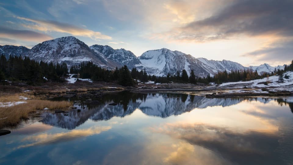
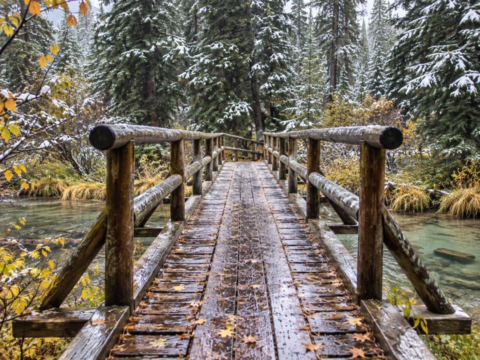
This is a remote backcountry route, not a maintained day hike. Expect rocky footing, creek crossings and occasional faint tread, and carry bear spray for the Forty Mile Creek corridor. High passes can hold snow into late June, stream flow is usually highest in June and July, and snow can fall at elevation even in summer. Overnight campers need the required backcountry permit and reservations for the designated campsites. Dogs are allowed on leash.

Wildlife

Wildlife in Banff

All Banff wildlife maps

Sighting maps show where each species has been reported across Banff. Wildlife moves, so no sighting is guaranteed.

Keep exploring

Near Mystic Pass Trail

See it all on the map

Trails that start nearby

Places near the trailhead

Parkwolf’s Banff ranking

Top-rated trails in Banff

All 162 trails
  1. 1Sentinel Pass via Larch Valley TrailChallenging · 11.2 km
  2. 2Plain of Six Glaciers TrailModerate · 11.6 km
  3. 3Lake Agnes TrailModerate · 7.8 km
  4. 4Johnston Canyon Trail to Upper FallsEasy · 4.8 km
  5. 5Larch Valley / Minnestimma Lakes TrailModerate · 9 km
  6. 6Parker Ridge TrailModerate · 5.6 km

Take Parkwolf to Banff.

The audio tour guide for the drive, plus offline maps, trails, and wildlife heatmaps for when the signal drops.

4.7 from 8,600+ ratings

Download Parkwolf on the App StoreGet Parkwolf on Google Play