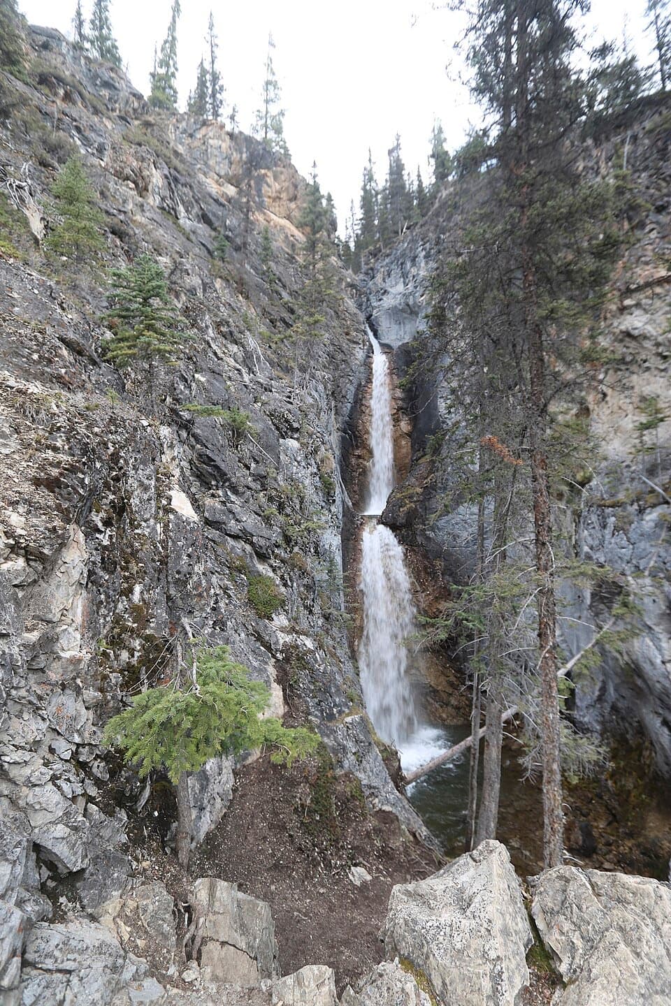
O’Brien Lake Trail in Banff National Park

Banff National Park, AB

O’Brien Lake Trail

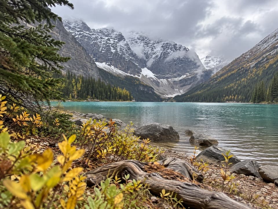
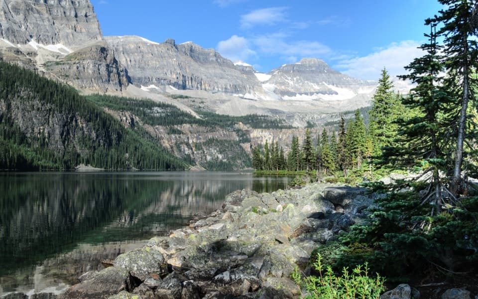
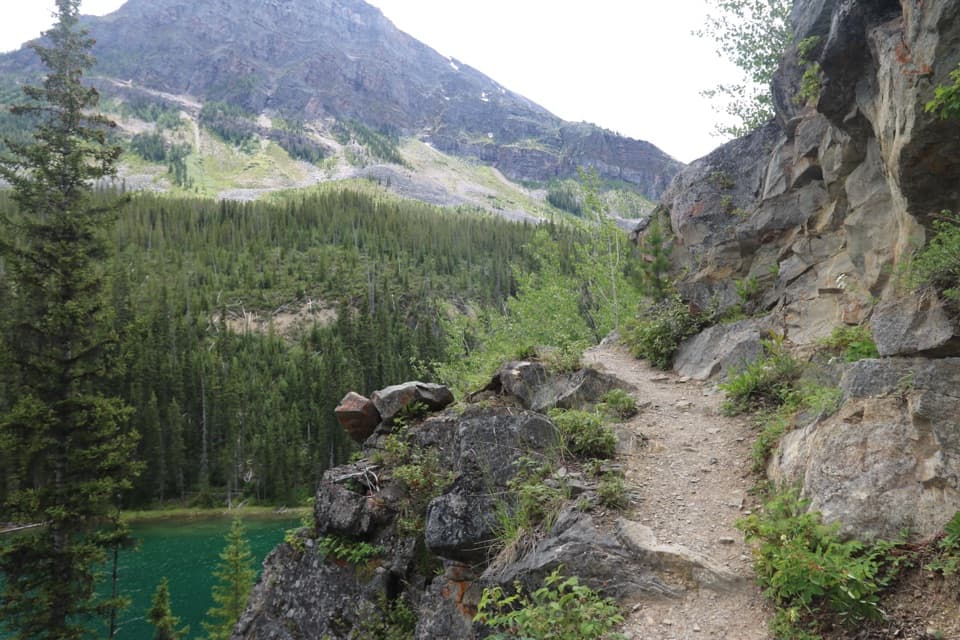
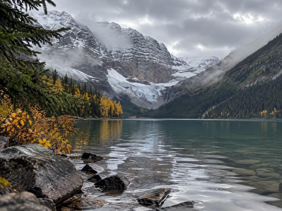
A long forest climb ends at a rough lake beneath Mount Bell.

Length
16.7km
Time
6.5hr
Elev. change
647m
Difficulty
Challenging
  • Dogs allowed
  • High point 2,119 m

Hear the audio tour

Taylor Lake: The Payoff after the Forest Climb

Overview

About O’Brien Lake Trail

Why go

  • Alpine lake beneath Mount Bell in a larch-lined basin.
  • A varied day from forest climb to creek meadow and high lake.

Heads up

  • A long, steady climb before the rougher O’Brien branch.
  • Muddy, rooty footing and less certain tread near the lake.

Map & elevation

The route

Loading the Banff map
Full map
Elevation1,472–2,119 m
TrailheadTaylor Creek Day Use Area (Taylor Lake Trailhead)51.30514, -116.02138
Keep this map with you offline in the Parkwolf app

Plan your hike

Before you go

Parking

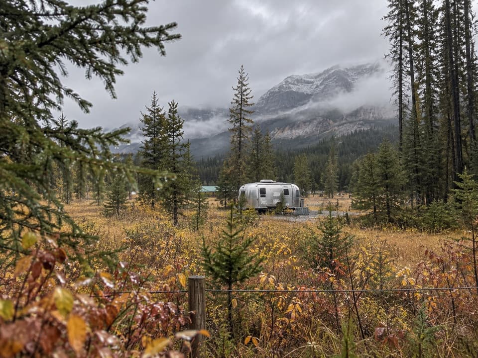
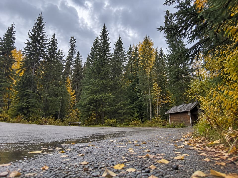
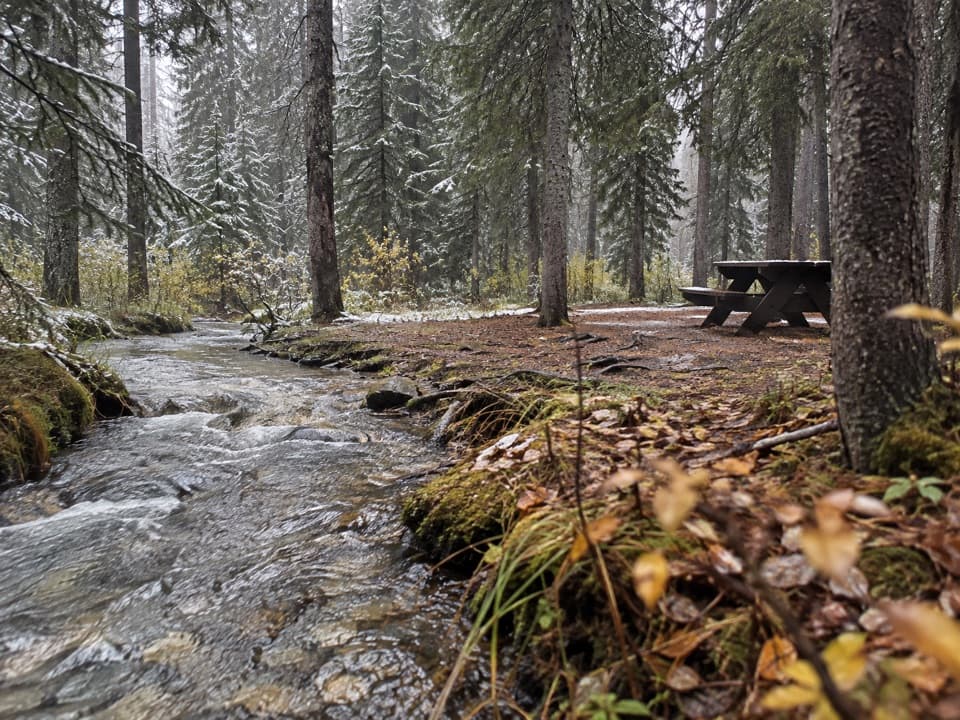
Start at Taylor Creek Day Use Area on the south side of the Trans-Canada Highway, 8 km west of Castle Junction or 17 km east of Lake Louise. The Taylor Lake Trailhead starts from the day-use lot; use designated parking only. The lot can fill quickly. Picnic tables and outhouses are available at the area.

Best time to go

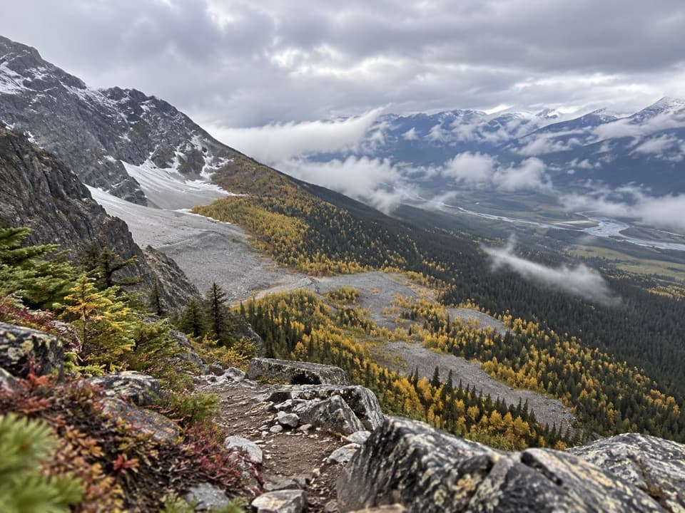
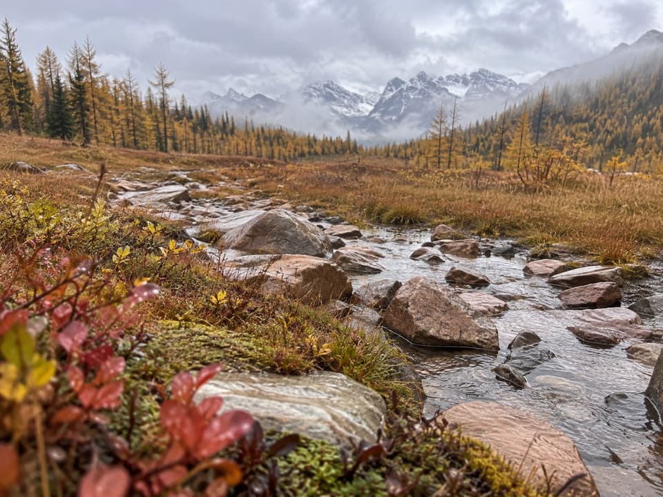
O’Brien Lake sits below the east wall of Mount Bell in a larch-lined basin. The shore is the payoff: look back across the water toward the mountain face. The larches turn gold in fall, and snow can linger on the shared approach into the early hiking season; Parks Canada recommends July onward.

Start at the Taylor Creek day-use area on the south side of the Trans-Canada Highway, 8 km west of Castle Junction or 17 km east of Lake Louise. The trail begins from the Taylor Lake Trailhead behind the lot. Parking is for designated spaces only, and day-use lots can fill quickly. The area has picnic tables and outhouses; a valid park pass is required. Dogs are allowed but must remain leashed and under control.

Safety

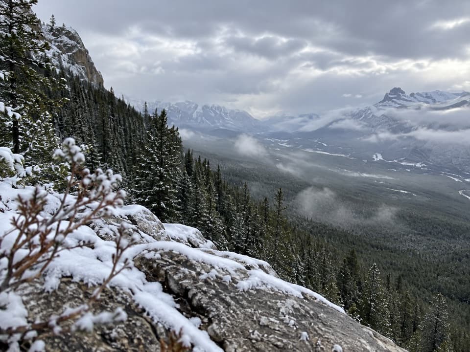
This is a long climb, followed by a rougher branch with roots, rocks, wet ground and less-defined tread; muddy sections and creek crossings can be slippery. Snow can linger into the early hiking season. Banff is grizzly habitat; Parks Canada recommends travelling in a tight group and carrying bear spray.

8 active Banff alerts

  • ClosureJohnston Canyon Trail and Day Use Area closedMentions Day Use Area, referenced in this guideJohnston Canyon Trail and Day Use Area are closed to all traffic and travel through December 11, 2026, because construction work requires protecting public and workers’ safety.Official details
  • ClosureBaker Lake and Hidden Lake campgrounds closed to campingCamping is prohibited at Baker Lake and Hidden Lake campgrounds through December 1, 2026, because a grizzly bear entered campsites and investigated tents and gear; the closures reduce risk to…Official details
See all 8 alerts
A park ranger sits on a dash-mounted phone, talking, as Parkwolf’s Tour Guide plays “Army Cutworm Moths: A Grizzly Bear Buffet” on Grand Loop Road below Dunraven Pass in Yellowstone
Parkwolf Tour GuideThe highest, rockiest slopes around here are a summer buffet for grizzly bears.

Banff Tour Guide

Your drive to O’Brien Lake Trail, narrated.

Parkwolf is a GPS audio tour guide for Banff National Park. As you drive, it chimes in with what’s ahead: hidden gems, upcoming stops, history, geology, and wildlife, right through your car’s speakers.

See the Banff audio tour

Recorded for this trailhead

Taylor Lake: The Payoff after the Forest Climb
0:00 / 0:24
“Up ahead is Taylor Lake trailhead, the start of a long forest climb to a glacial lake beneath steep mountain walls. Allow four to five hours round trip, with roots, rocks and wet ground near the lake.”

Plays as you drive up to this trailhead in the Parkwolf Banff Tour Guide.

More stories near here in the app

  • A Chickadee’s Cold Night
  • When Banff Turned Cars Away
  • The Buzz That Shakes Pollen Loose
  • When a Lake Mixes
  • 185 audio storiesacross Banff’s roads, triggered by GPS as you drive
  • Wildlife heatmapsfor Grizzly Bear, Brown Bear, Gray Wolf, and 13 more
  • Works offlinemaps, 162 trails, 90 places, and audio download before you lose signal
  • CarPlay readysimple controls built for the drive
★★★★★
“…Loved the commentary as you drove thru. I’m sure the app can do more than I know but the tips were very helpful. I’m gonna use it when we go to Banff next month.”
tesja22App Store review
Download Parkwolf on the App StoreGet Parkwolf on Google Play

4.7 from 8,600+ ratings

Trail guide

Hiking O’Brien Lake Trail

The direct routeO’Brien Lake Trail is a hard 10.4-mile (16.7-km) out-and-back from Taylor Creek Day Use Area.

O’Brien Lake Trail is a hard 10.4-mile (16.7-km) out-and-back from Taylor Creek Day Use Area. Follow the Taylor Lake Trail through forest to the O’Brien junction in the meadow near Taylor Lake, then take the rougher branch to the lake below Mount Bell. The distance is the full return walk; the map traces the physical corridor once. This route goes directly to O’Brien Lake and does not include the optional Taylor Lake spur.

The connected mapped route measures 16.7 km round trip. Some directions list 18.8 km for the direct outing without explaining the extra distance, so check which line you are following. Allow about six to seven hours; the long climb and rough final branch take more time than the mileage alone suggests.

The shared climbThe trail climbs steadily through forest, with switchbacks, creek-side stretches, footbridges…

The trail climbs steadily through forest, with switchbacks, creek-side stretches, footbridges and occasional openings near the meadow. The main Taylor Lake Trail is much easier to follow than the O’Brien branch, but it is a long uphill approach before you turn. Taylor Lake itself is a separate short detour; it is a worthwhile add-on if you want both lakes, but it adds distance and time.

The O’Brien branchAt the junction, cross the creek and follow the narrower, less-maintained tread toward the lake.

At the junction, cross the creek and follow the narrower, less-maintained tread toward the lake. This final section has roots, rocks, wet ground, short ups and downs, and occasional fallen trees; it can be slower and harder to follow. The mapped route ends at the lake shore. Turn back there; continuing beyond the lake is a different outing.

Wildlife

Wildlife in Banff

All Banff wildlife maps

Sighting maps show where each species has been reported across Banff. Wildlife moves, so no sighting is guaranteed.

Keep exploring

Near O’Brien Lake Trail

See it all on the map

Trails that start nearby

Places near the trailhead

Parkwolf’s Banff ranking

Top-rated trails in Banff

All 162 trails
  1. 1Sentinel Pass via Larch Valley TrailChallenging · 11.2 km
  2. 2Plain of Six Glaciers TrailModerate · 11.6 km
  3. 3Lake Agnes TrailModerate · 7.8 km
  4. 4Johnston Canyon Trail to Upper FallsEasy · 4.8 km
  5. 5Larch Valley / Minnestimma Lakes TrailModerate · 9 km
  6. 6Parker Ridge TrailModerate · 5.6 km

Take Parkwolf to Banff.

The audio tour guide for the drive, plus offline maps, trails, and wildlife heatmaps for when the signal drops.

4.7 from 8,600+ ratings

Download Parkwolf on the App StoreGet Parkwolf on Google Play