Parking
Taylor Lake Trailhead parking area beside the Trans-Canada Highway, between Lake Louise and Castle Junction. Use the designated lot; toilets and a picnic site are at the access. The lot can fill early, and roadside parking is prohibited.
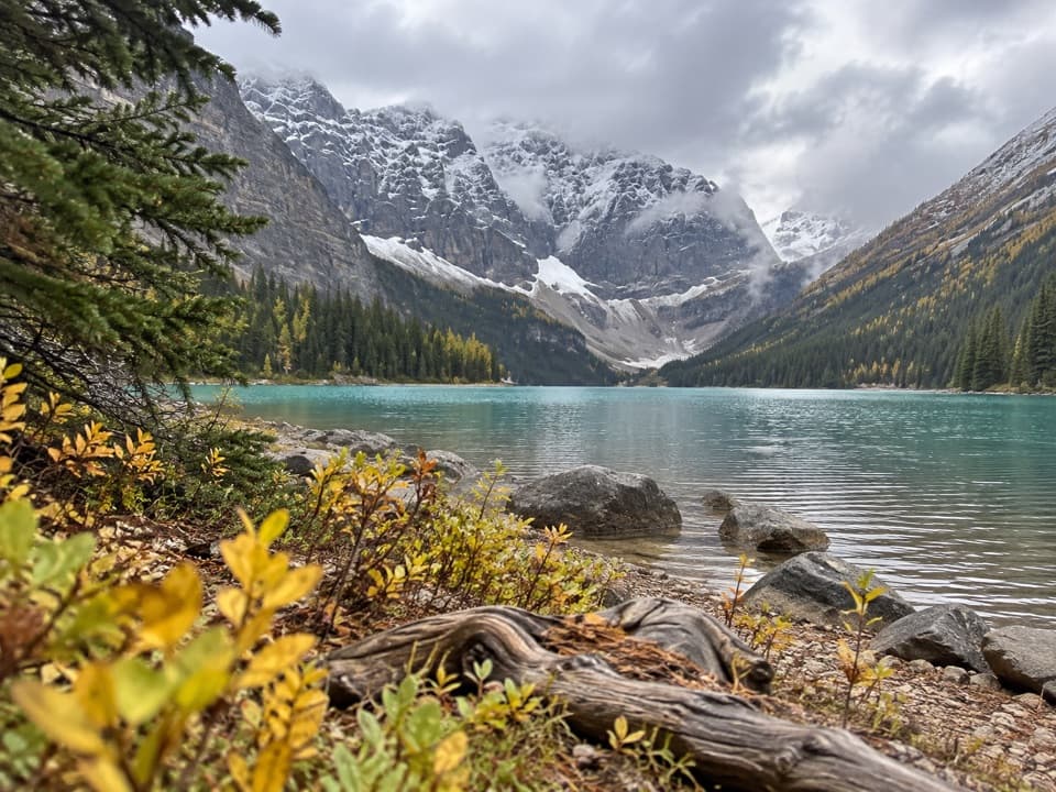
Banff National Park, AB
A steady forest climb ends at a glacial lake beneath jagged peaks.
Overview
Map & elevation
Plan your hike

The highest, rockiest slopes around here are a summer buffet for grizzly bears.
Banff Tour Guide
Parkwolf is a GPS audio tour guide for Banff National Park. As you drive, it chimes in with what’s ahead: hidden gems, upcoming stops, history, geology, and wildlife, right through your car’s speakers.
See the Banff audio tourRecorded for this trailhead
Taylor Lake: The Payoff after the Forest Climb“Up ahead is Taylor Lake trailhead, the start of a long forest climb to a glacial lake beneath steep mountain walls. Allow four to five hours round trip, with roots, rocks and wet ground near the lake.”
Plays as you drive up to this trailhead in the Parkwolf Banff Tour Guide.
More stories near here in the app
“…Loved the commentary as you drove thru. I’m sure the app can do more than I know but the tips were very helpful. I’m gonna use it when we go to Banff next month.”


Trail guide
Taylor Lake Trail is a 7.8-mile (12.6 km) out-and-back from the highway-side trailhead to the lake and back, walking the same 6.3 km route each way. Allow 4–5 hours for the steady climb and about 585 m of ascent. It starts in shaded forest beside Taylor Creek and ends at a high glacial lake under jagged peaks. The lake is the payoff; this is a long climb rather than a summit scramble. The base route ends at the lake. Panorama Ridge meadow and O’Brien Lake are optional extensions and add distance.
The trail leaves from behind the parking area over steps and a wildlife gate, then follows a broad, shaded track. Taylor Creek comes into view early. After the first stretch, roots and protruding rocks make the steady climb rougher; a wooden bridge crosses the creek, boardwalks span wet patches, and a long run of switchbacks gains the hillside.
The upper trail becomes rockier. A second creek crossing near the lake passes a small waterfall, then the path enters a wet meadow where roots, mud and stepping stones slow the final approach. A campground sign marks the arrival at Taylor Lake.
Taylor Lake sits beneath Mount Bell, Mount Fay and Panorama Peak. A small waterfall drops into the far end below a glacier, with forest and steep mountain walls around the shore. From the lake edge, the waterfall and glacial bowl make the strongest view to frame. Larches around the lake and in nearby meadows turn gold in fall, usually in mid-to-late September.
The Taylor Lake trailhead is the designated parking area beside the Trans-Canada Highway; toilets and a picnic site are at the access. The lot can fill early, and roadside parking is prohibited. Dogs are allowed on the route but must stay leashed and under physical control. Snow can linger into the early hiking season, so Parks Canada recommends this walk from July onward. Hikers should travel in groups of four or more, carry bear spray and know how to use it; treat stream or lake water before drinking.
Wildlife
 123 sightingsGrizzly BearMost seen around 6 AMSighting map
 150 sightingsBrown BearMost seen around 6 PMSighting map
 44 sightingsGray WolfMost seen around 6 AMSighting map
 12 sightingsRiver OtterMost seen around 8 PMSighting map
 69 sightingsMooseMost seen around 8 PMSighting map
 466 sightingsBlack BearMost seen around 9 PMSighting map
Sighting maps show where each species has been reported across Banff. Wildlife moves, so no sighting is guaranteed.
Keep exploring
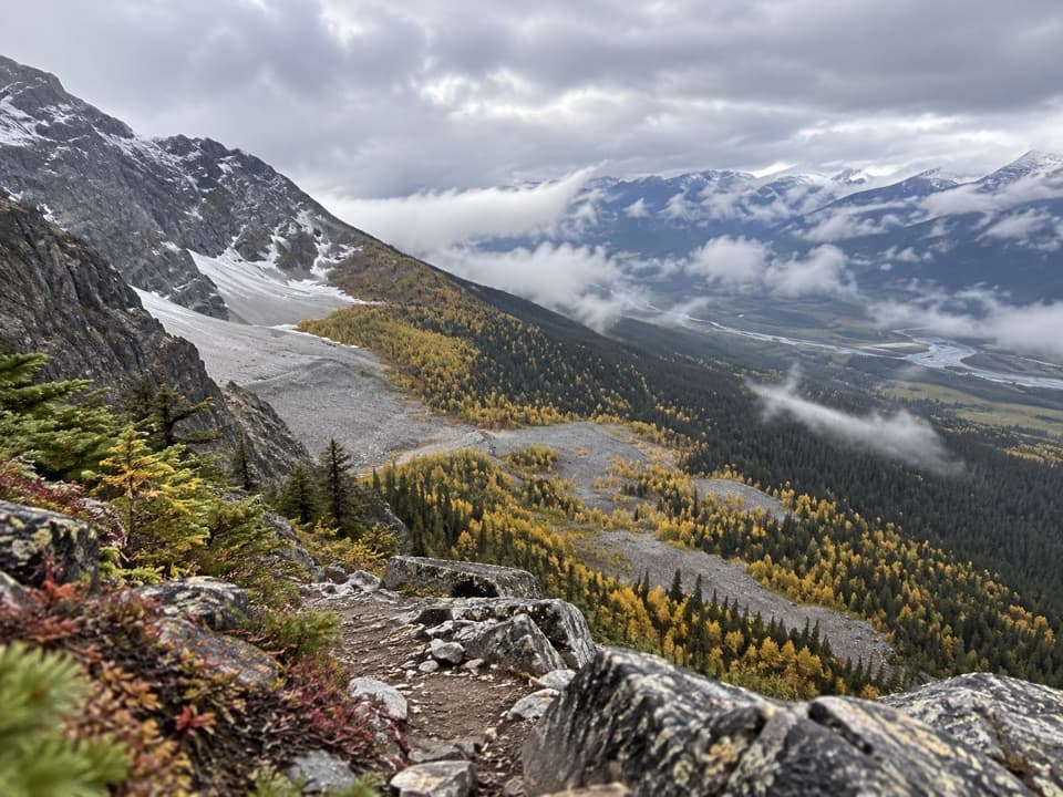 ChallengingPanorama Ridge East Trail19 km · 8 hr · At the trailheadA forested lake approach opens onto a steep, faint larch ridge.
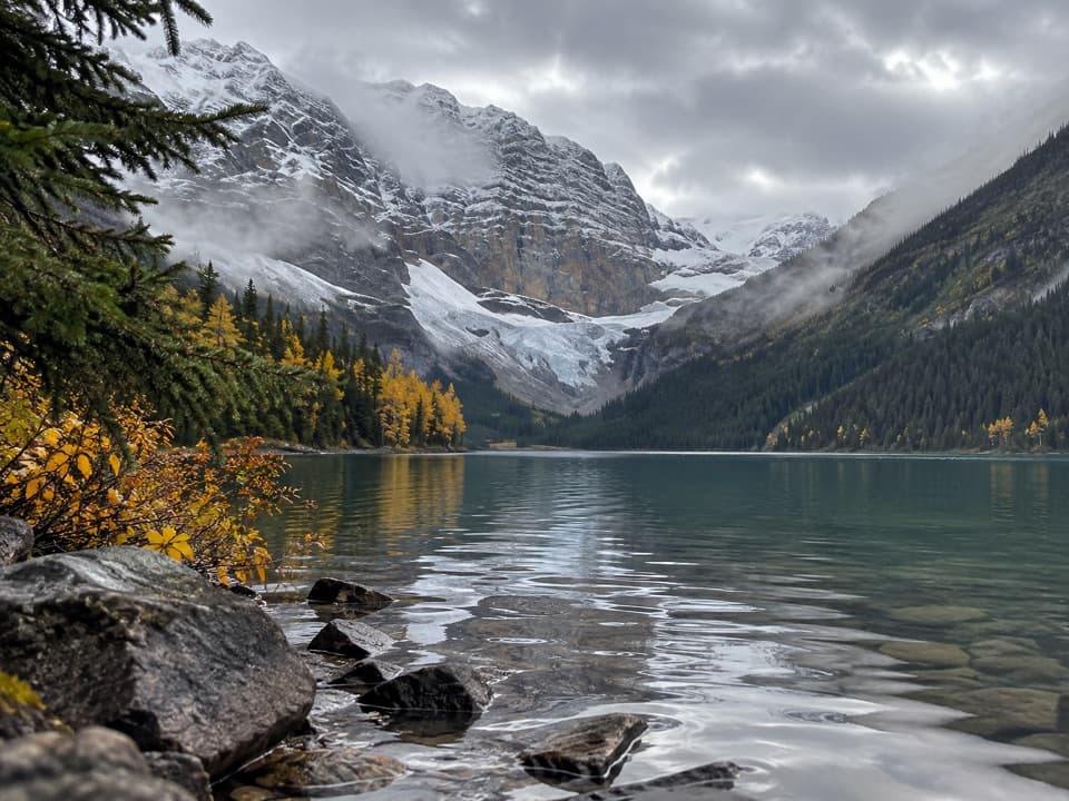 ChallengingO’Brien Lake Trail16.7 km · 6.5 hr · At the trailheadA long forest climb ends at a rough lake beneath Mount Bell.
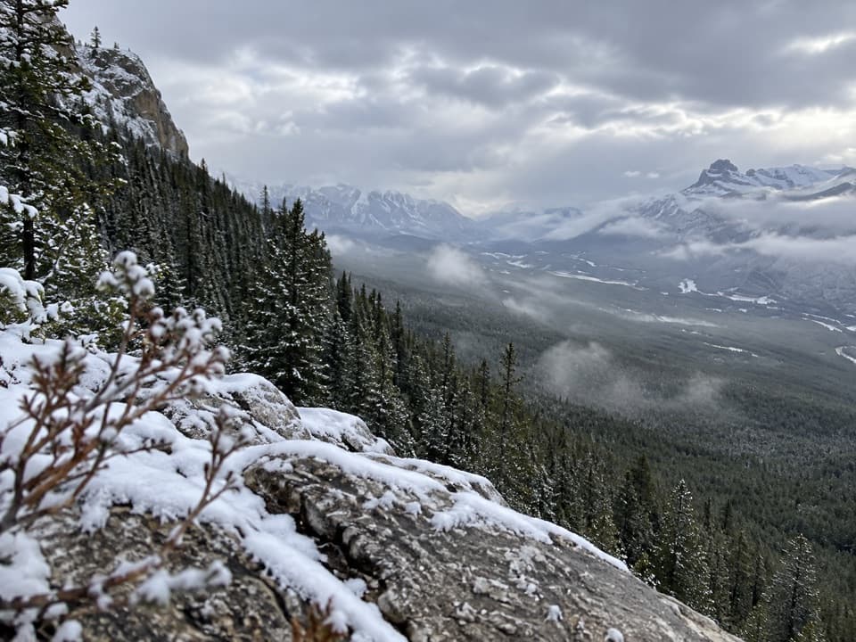 ModerateCastle Lookout Trail7.4 km · 3.5 hr · 3.5 km awayA steady climb to a vanished fire lookout above the Bow Valley
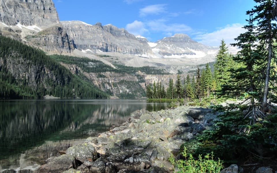 EasyBoom Lake Trail10.2 km · 3.5 hr · 6.3 km awayA long forest approach reaches a rocky alpine lake beneath cliffs.
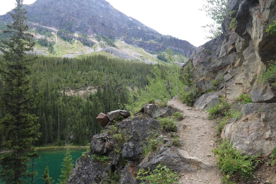 ModerateArnica Lake Trail9.2 km · 5 hr · 7.2 km awayA steep larch climb to a lake below Storm Mountain's cliffs.ModerateTwin Lakes Trail via Arnica Lake16.6 km · 6.5 hr · 7.2 km awayA long, steep out-and-back reaches Arnica Lake and both Twin Lakes.ModerateVista Lake Trail2.8 km · 1.5 hr · 7.2 km awayA short forest descent to a lake, with a steep climb back.
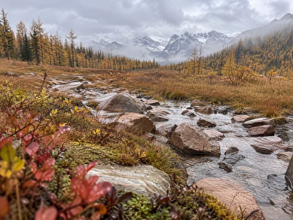 ChallengingGibbon Pass Trail21.1 km · 9.5 hr · 7.2 km awayCross two mountain lakes to a windy pass among golden larches.
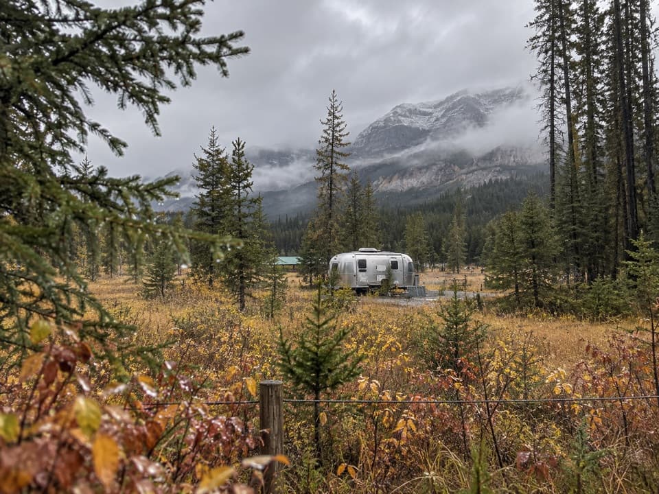 Campground · 2.7 km awayProtection Mountain CampgroundOpen mountain camping, with flush toilets but no showers.
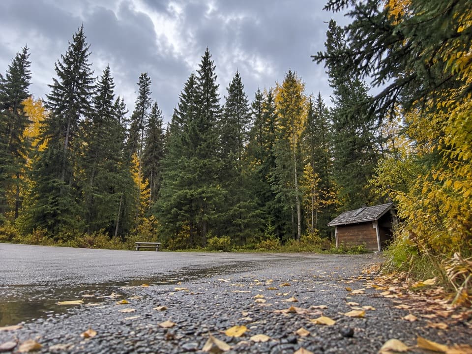 Picnic area · 5.8 km awayBaker Creek Picnic AreaA shaded creekside pause for lunch and a short leg-stretch.
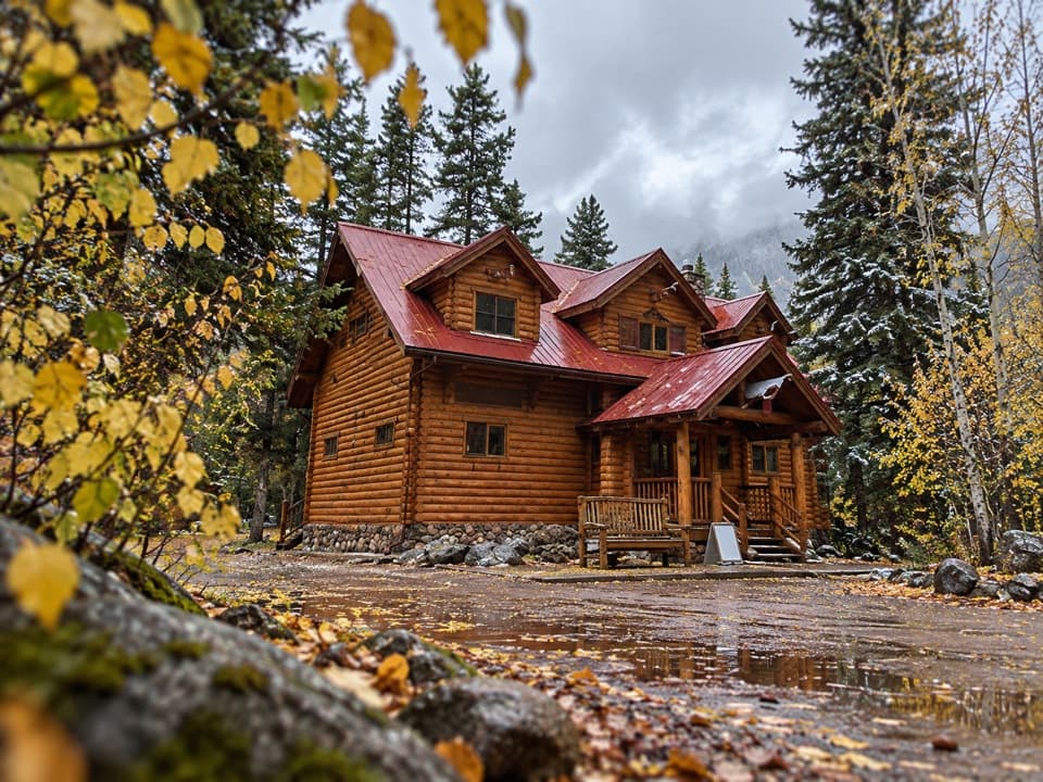 Lodging · 5.9 km awayBaker Creek by BasecampCreekside cabin stays come with firepits and a grab-and-go café.
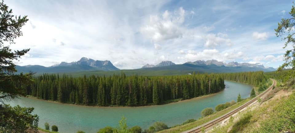 Sight · 5.9 km awayStorm Mountain LookoutA Bow River picnic break with a ridgeline to read.
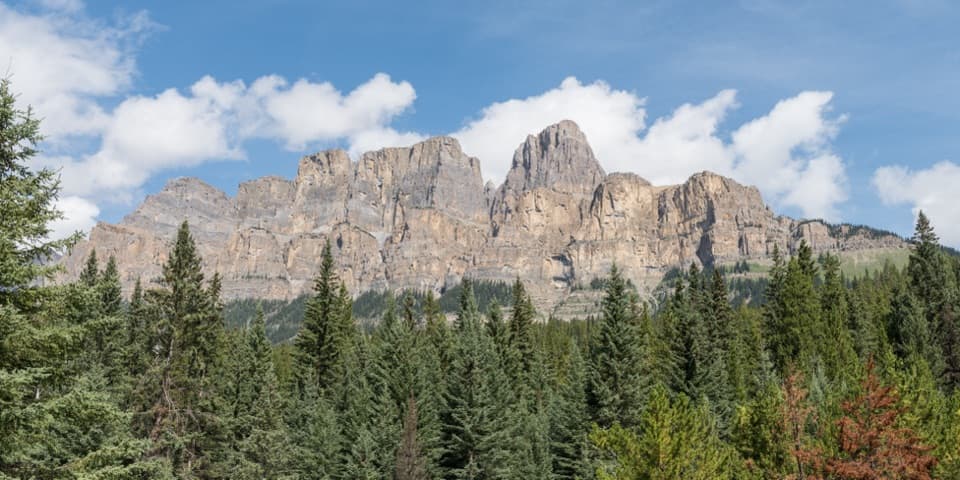 Sight · 7.3 km awayCastle Cliffs LookoutA short platform brings Castle Mountain's cliffs close.
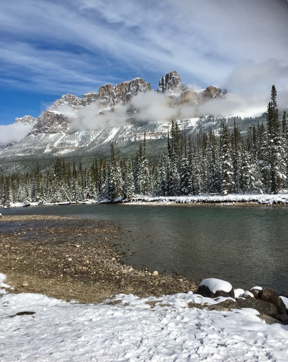 Scenic pullout · 7.8 km awayCastle Junction Bridge ViewpointA quick bridge stop for Bow River and Castle Mountain views.
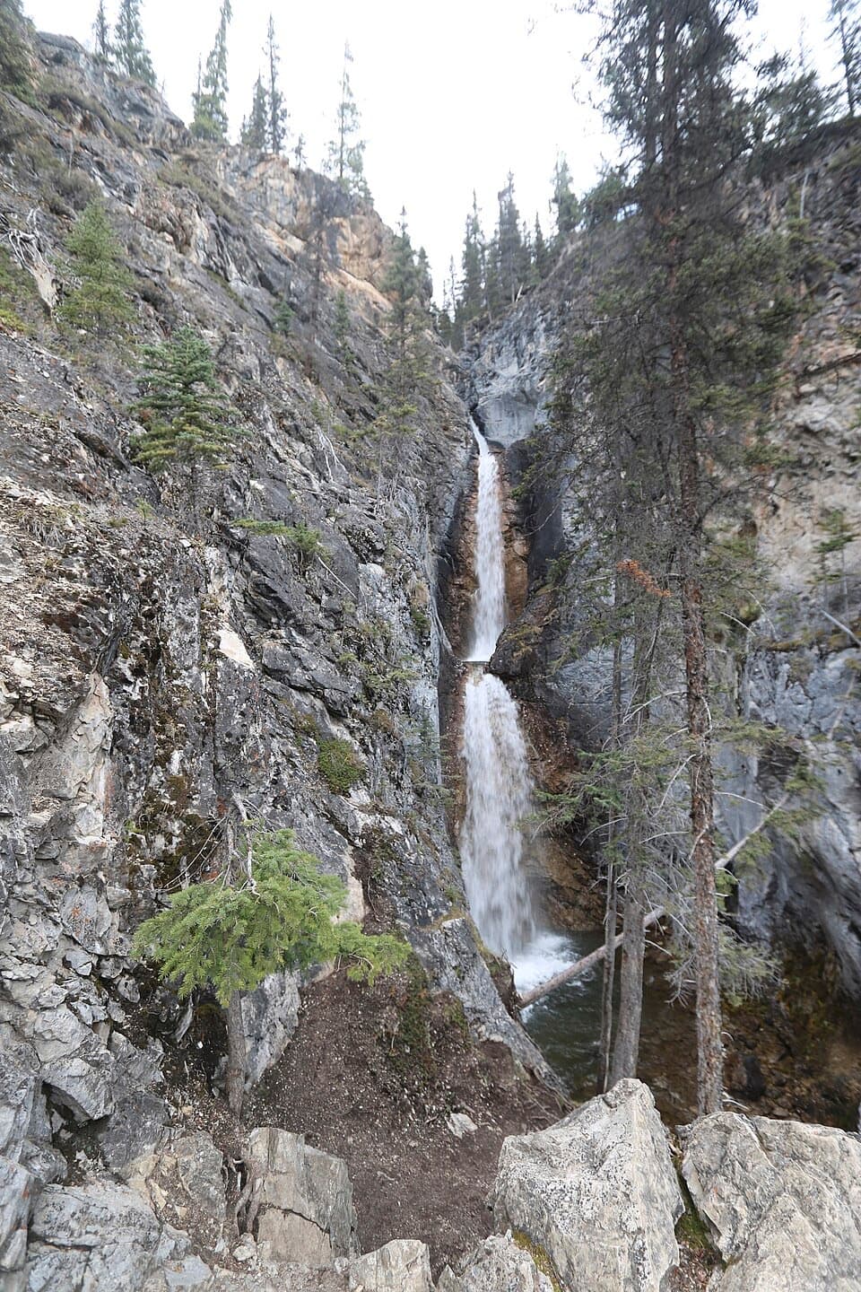 Sight · 8.6 km awaySilverton FallsShort waterfall spur with an exposed, rocky finish.
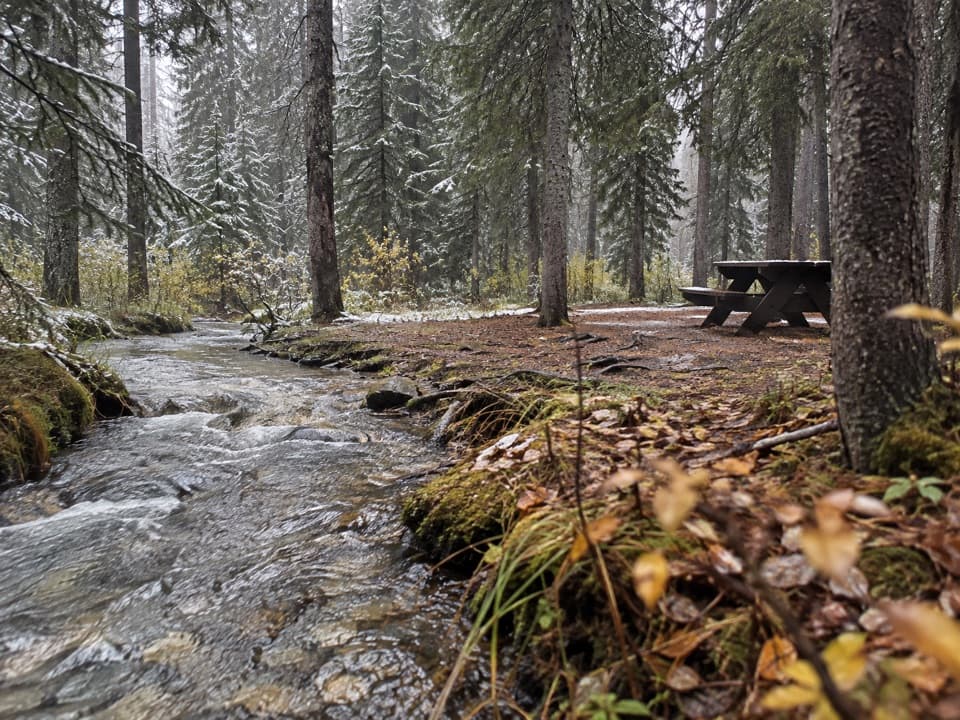 Campground · 8.7 km awayCastle Mountain CampgroundA wooded, no-service base along the Bow Valley Parkway.
Parkwolf’s Banff ranking

The audio tour guide for the drive, plus offline maps, trails, and wildlife heatmaps for when the signal drops.





