Parking
Reach St. Bartholomä by boat from the Königssee landing in Schönau; the trail starts near the National Park information point. There is no road access to the island trailhead.
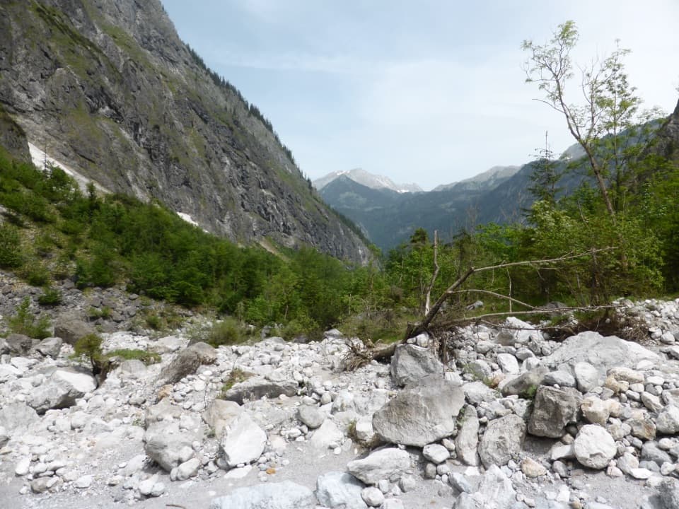
#8 of 71 trails in Berchtesgaden
Berchtesgaden National Park, BY
A steep climb toward the Watzmann’s vanished ice hollow.
Overview
Map & elevation
Plan your hike

The highest, rockiest slopes around here are a summer buffet for grizzly bears.
Berchtesgaden Tour Guide
Parkwolf is a GPS audio tour guide for Berchtesgaden National Park. As you drive, it chimes in with what’s ahead: hidden gems, upcoming stops, history, geology, and wildlife, right through your car’s speakers.
More stories near here in the app
“Fantastic app with many points of information… It’s great to just turn on while you’re driving and it gives you an audio tour of the national Park. We love it!!!!”


Trail guide
St. Bartholomä to the former Eiskapelle is a 5.9-kilometre out-and-back from the Königssee peninsula to the lower Eisgraben below the Watzmann East Face. Allow three to four hours on foot for about 250 metres of climbing. It starts with an easy, level approach, then climbs steeply through forest before opening onto a gravelly stream bed. The ice hollow that gave the hike its name collapsed in 2025, so this is no longer a walk to an intact cave. The mapped route follows AV 446 to its last mapped point before the snowfield. The safe public stopping point after the collapse is not clearly identified. Check current park access advice before boarding, and do not continue into the unstable boulder basin without explicit clearance.
St. Bartholomä is reachable only by boat across Königssee. From the landing, follow the level path toward the National Park information point and the signs for St. Johann und Paul. This first stretch is gentle; if the steep climb is not for you, the chapel and peninsula make a worthwhile shorter visit on their own. Past the chapel, the character changes quickly. The trail gains height through a short stretch of forest on a worn, narrow path. The climb is steep for its length. When the trees thin, the Watzmann East Face takes over the view, and the route turns into rougher ground beside the Eisbach. Return the same way; this is not a loop.
After the forest, the route reaches the gravel-rich stream bed below the wall. It is often dry, but snowmelt and heavy rain can swell the Eisbach and make the crossing harder. The open ground is rough and strewn with boulders, a sharp change from the shaded forest path. The published hike continues toward the former ice field, but the stored line ends at the last mapped AV 446 point; it does not invent a track through the boulder basin. Do not use the old cave entrance as a destination or cross into the remains.
The Eiskapelle was a hollow in firn snow at about 900 metres, described as the lowest permanent ice field in the German Alps. Avalanche snow collected beneath the east face, and meltwater carved a cavity in it. The ice arch collapsed in summer 2025. The remaining hollow may change again, but there is no intact cave to enter or expect to see. The scale of the loss is striking: nearly one million cubic metres of firn ice melted between 1953 and 2024, including more than 575,000 cubic metres after 2019. Alexander von Humboldt visited the site in November 1797, long before its disappearance.
The Watzmann East Face belongs to the Northern Limestone Alps. Its rocks began as marine deposits about 200 million years ago, then were folded and lifted as the Alps formed. Ramsau dolomite lies below the higher walls of Dachstein limestone. From the open part of the walk, those layers make the face look almost like a cut section through the mountain. Stay on the established route rather than crossing unstable ground for a closer look.
The boat is the only way to reach St. Bartholomä, and you must return the same way. Service generally runs year-round except when the lake freezes, so check the current timetable and leave room for the return crossing. The route descriptions differ slightly on distance and time; the 5.9-kilometre figure above is the round trip to the mapped approach, while longer figures can include more walking into the gravel basin. Because the safe post-collapse turnaround is unclear, confirm current access before setting out. If officials or signs restrict the route, follow them and stay out of the Eiskapelle area. No food, water or toilet facilities along the uphill route were verified in the available information.
Wildlife
 14 sightingsBearded VultureMost seen around noonSighting map
 29 sightingsGolden EagleMost seen around noonSighting map
 22 sightingsRed DeerMost seen around 6 PMSighting map
 131 sightingsAlpine ChamoisMost seen around 5 PMSighting map
 65 sightingsAlpine SalamanderMost seen around 11 AMSighting map
 63 sightingsAlpine MarmotMost seen around 9 AMSighting map
Sighting maps show where each species has been reported across Berchtesgaden. Wildlife moves, so no sighting is guaranteed.
Keep exploring
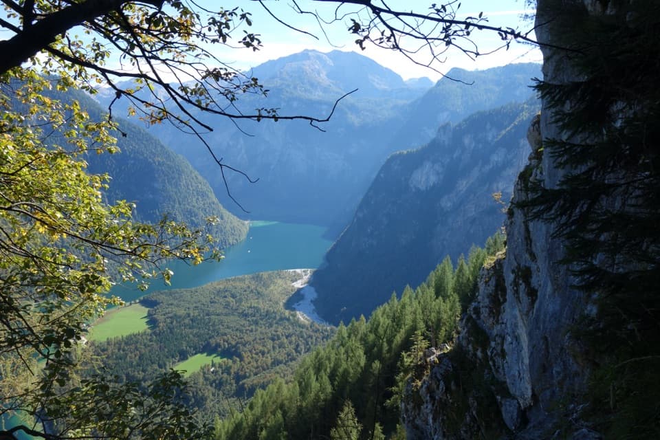 ChallengingWatzmannhaus via Rinnkendl- und Falzsteig8.5 km · 5.5 hr · 0.1 km awayCable-secured ledges above Königssee lead to a high mountain hut
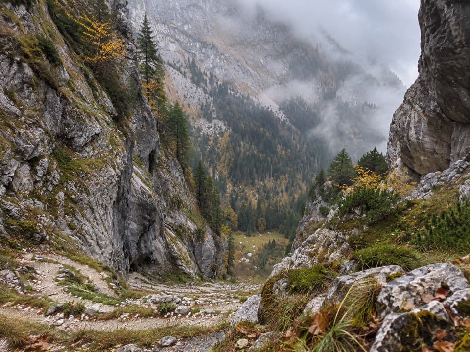 ChallengingFuntensee via Saugasse20 km · 10 hr · 0.2 km awayThirty-six switchbacks climb from Königssee into the Steinernes Meer.
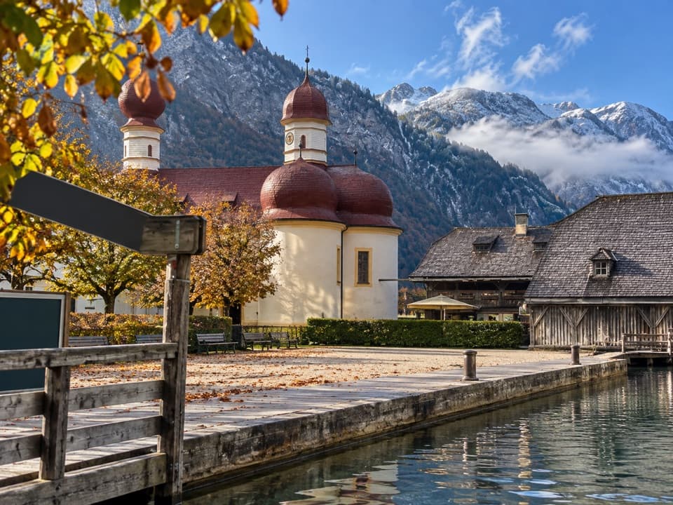 EasySt. Bartholomä-Rundweg1.9 km · 1 hr · 0.2 km awayA gentle loop links the lakeshore, woodland and red-domed church.
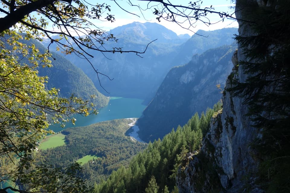 ChallengingRinnkendlsteig11 km · 6 hr · 0.2 km awayA steep, exposed climb with a high view over Königssee.
 ChallengingGroßes Teufelshorn via Wasseralm21.5 km · 10 hr · 2.2 km awayA remote, boat-accessed summit climb with exposed, cable-secured passages
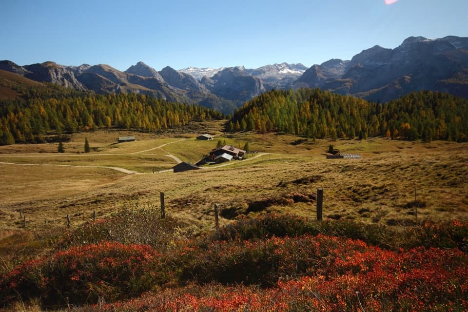 ChallengingGotzenalm via Kaunersteig15.8 km · 8 hr · 2.2 km awayA steep climb earns a balcony over Königssee.
 ModerateObersee – Fischunkelalm – Röthbachfall8 km · 3.5 hr · 2.2 km awayA rocky lakeshore walk to a meadow beneath Germany’s highest waterfall.
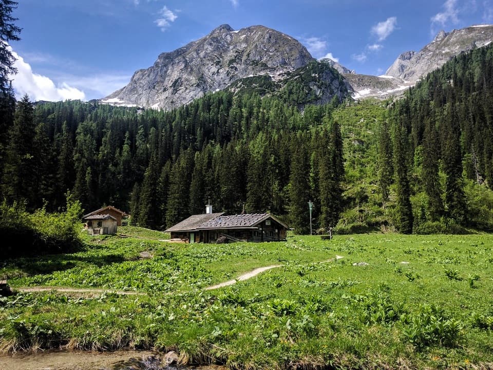 ChallengingWasseralm via Landtalsteig16.7 km · 7 hr · 2.3 km awayA steep, boat-served 10.4-mile climb to Wasseralm and back.
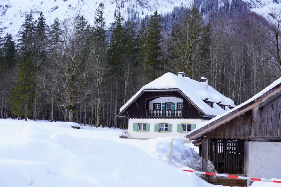 Visitor center · At the trailheadNational Park Information Point St. BartholomäA five-room water exhibit and 12-minute film reward a boat stop.
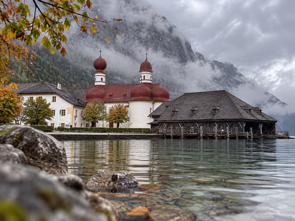 Restaurant · 0.1 km awayGaststätte St. BartholomäBavarian beer in a former royal hunting lodge on Königssee.
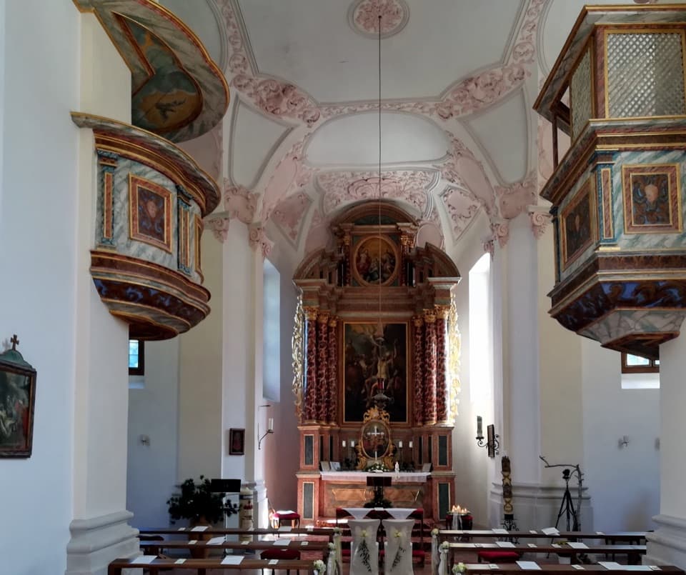 Sight · 0.2 km awaySt. Bartholomä Pilgrimage ChurchA Baroque pilgrimage church beneath Königssee’s towering Watzmann face.
 Food · 0.2 km awayFischerei St. BartholomäA boat-trip stop for smoked fish with a long local history.
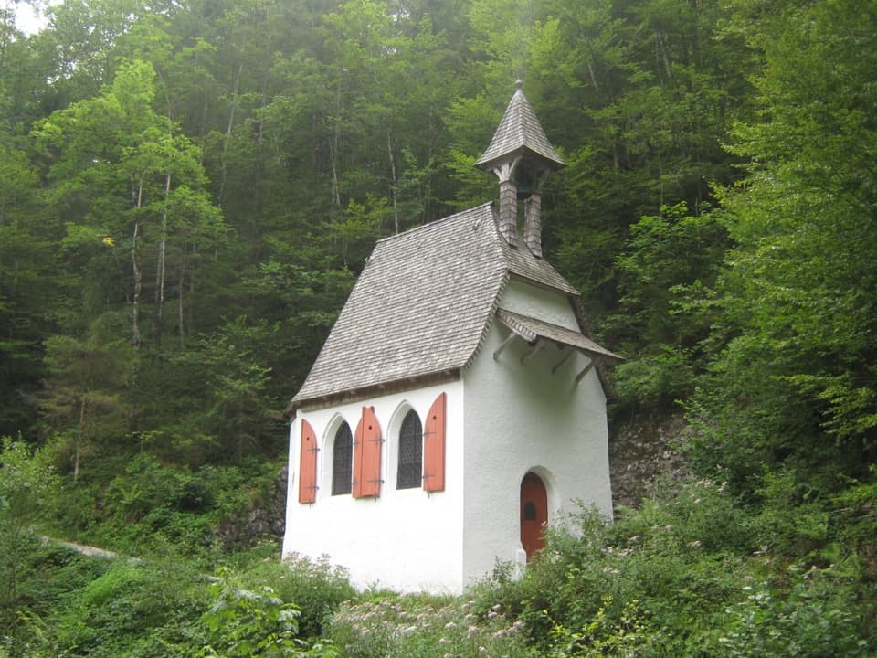 Sight · 0.8 km awaySt. Johann und Paul ChapelA quiet 17th-century chapel before the trail turns steep.
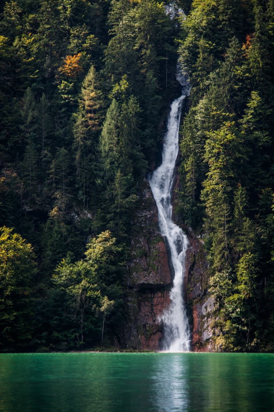 Sight · 1.7 km awaySchrainbach WaterfallA 30-minute walk from St. Bartholomä reaches the 80-meter falls.
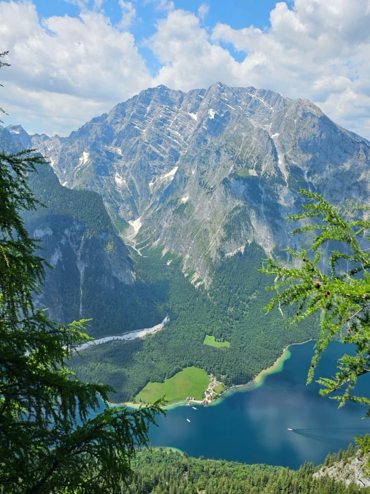 Sight · 1.7 km awayFeuerpalfen ViewpointTen minutes from the hut, with Königssee far below.
 Sight · 1.9 km awayArchenkanzelA hike buys a high view of Königssee and St. Bartholomä.
Parkwolf’s Berchtesgaden ranking

The audio tour guide for the drive, plus offline maps, trails, and wildlife heatmaps for when the signal drops.




