Pros & cons
PROS
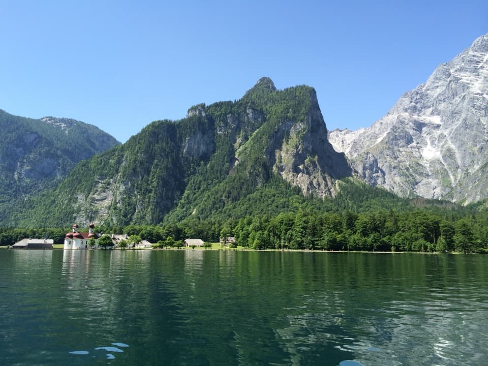
- Panoramic cliff-edge view of Königssee and St. Bartholomä
- Kührointhütte nearby for hot meals and a relaxed break
CONS
- Sustained, steep climb with ~800 m gain and some loose pebbles
- Parking fills early; public transport starts later in the morning
Overview
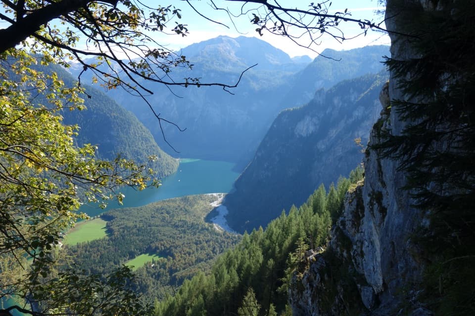
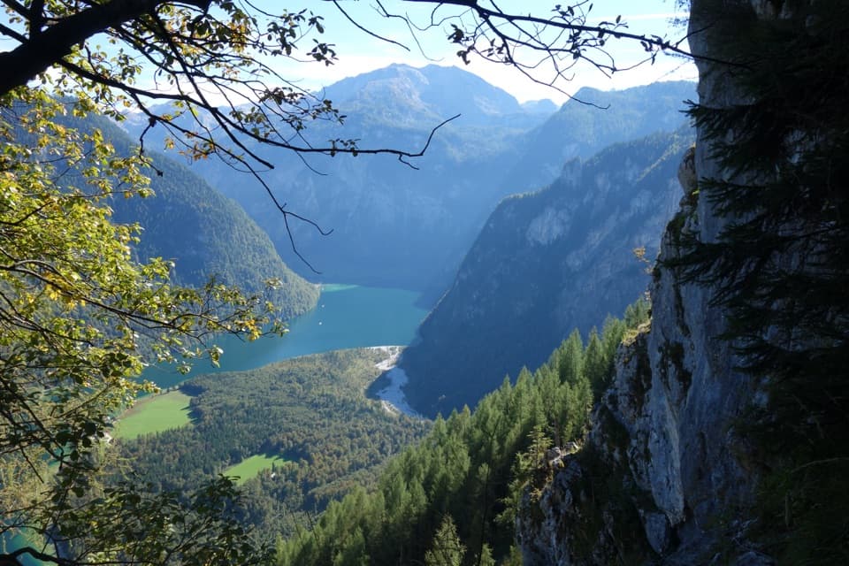
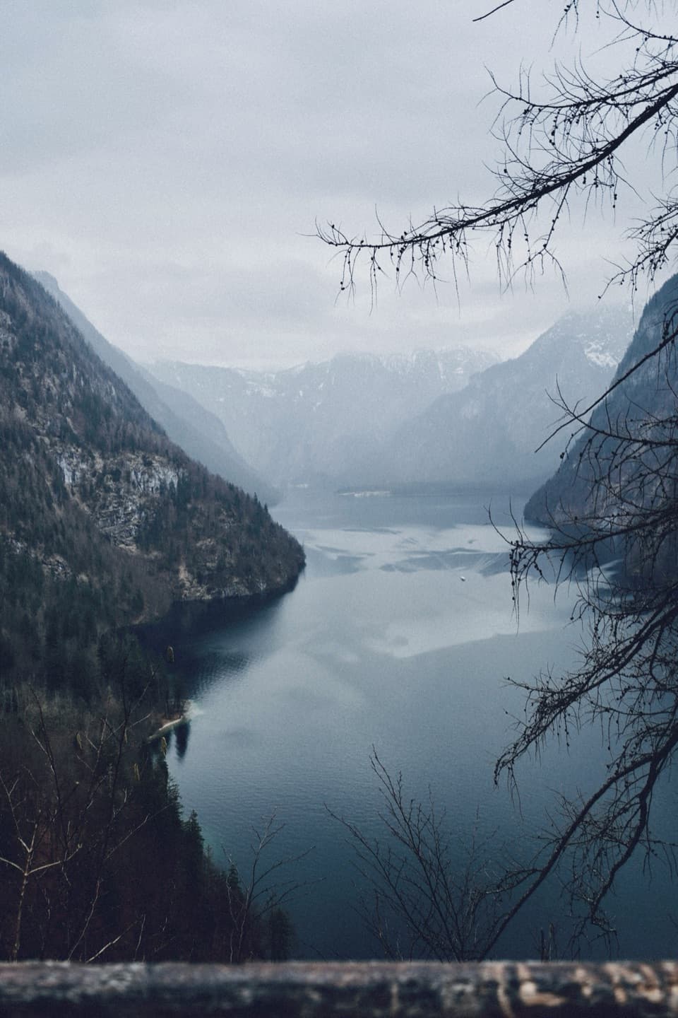
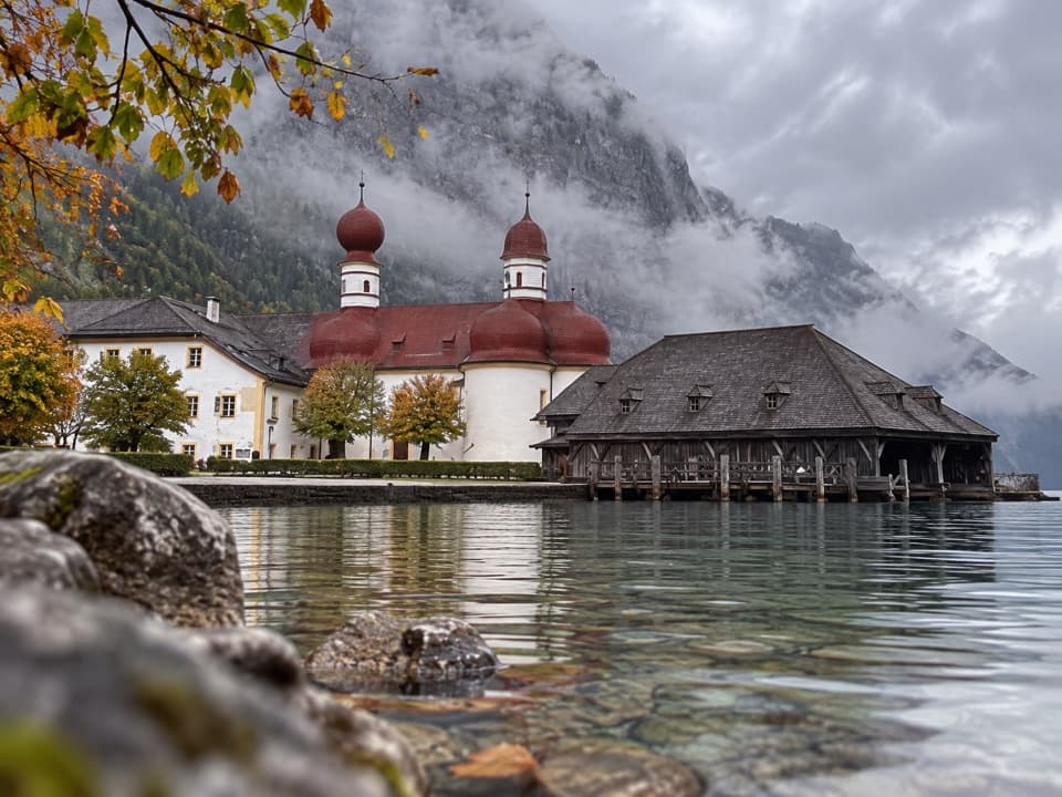
Archenkanzel is the balcony over Königssee—an airy, fenced lookout with a couple of tables and a straight-on view down to St. Bartholomä. It’s the vista many people dream of without the crowds you’ll meet elsewhere. Expect a proper workout to earn it; the payoff is huge.
The Hike in a Nutshell
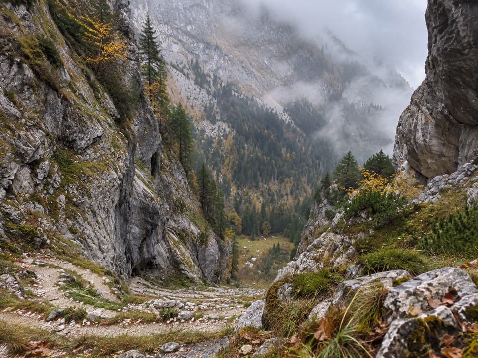
Plan on roughly 15 km round trip, 5–6 hours total, and about 800 m of elevation gain to a viewpoint around 1,300 m. Trails are well waymarked: follow yellow signs to “Grünstein,” then “Kührointalm.” From Kührointalm/Kührointhütte, it’s an easy, clearly signed 15–20 minute spur to the cliff-edge overlook. The path is consistently steep in places, and sections of loose pebbles make trekking poles a smart call—especially on the descent.
Getting There
- By car: Common starts are Parkplatz Wimbachbrücke, the large parking by Königssee/Schönau, or the Hammerstiel hiking car park. Arrive before 9:00 to secure a spot, particularly in summer.
- By bus: From Berchtesgaden Hbf, bus 846 toward Hintersee stops at “Wimbachbrücke, Ramsau b. Berchtesgaden.” With a local guest card, regional buses are free; earliest departures are around mid‑morning, so an early start is easier by car.
On-Trail Food and Breaks
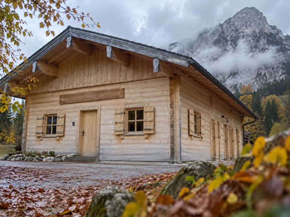
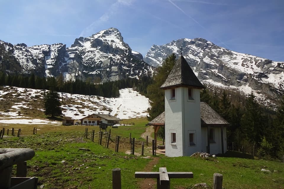
You’ve got two reliable pit stops: Grünsteinhütte on the way up and Kührointalm/Kührointhütte just 15 minutes from the viewpoint. Expect hot meals and drinks, sometimes even simple vegan options like lentil soup. Huts are often cash‑only and may have shoulder‑season closures—pack snacks and plenty of water (3–4 liters per person on warm days).
What Makes It Special
Unlike gondola viewpoints, Archenkanzel feels earned. The forested ascent pops you out at a dramatic cliff with that classic lake‑and‑chapel composition far below. Recent hikers note the lookout is fenced and a comfortable place to linger for a Brotzeit.
Best Time to Visit
Mid‑May to late September offers your best odds for clear views. May–June brings wildflowers and fewer people; July–August is busier but reliable for weather. It’s feasible year‑round, but in winter you’ll need proper gear (often snowshoes) and surefootedness. The viewpoint has no set hours and is effectively open 24 hours, so early starts beat parking pressure and afternoon congestion.
Park Rules You Need to Know
Dogs on leash are fine. No drones, no camping or fires, no off‑trail walking, no picking plants, no feeding wildlife, no loud noise, and pack out all trash. Cycling is permitted where signed—be considerate of hikers.
Geology Geek‑Out
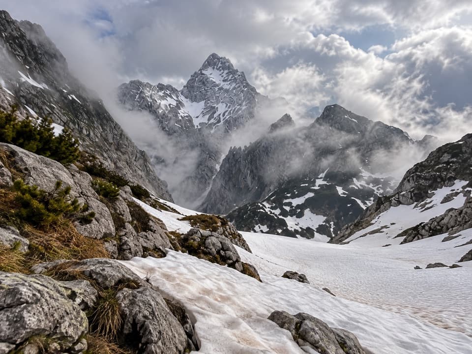
These peaks are part of the Northern Limestone Alps, built from ancient Tethys Ocean sediments. The area stacks brittle Ramsau dolomite beneath massive Dachstein limestone, which forms the high walls and plateaus. Fossils of megalodont bivalves are common in that Dachstein limestone—one reason those cliff bands look so striking.
Nice Add‑On
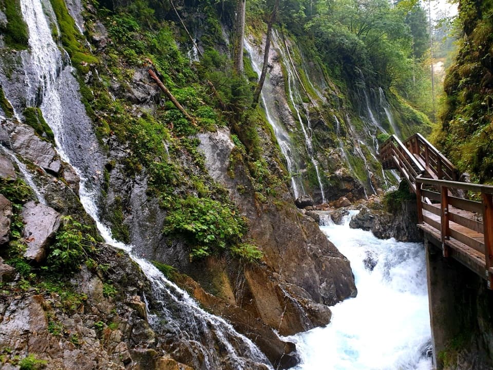
Back at Wimbachbrücke, Wimbachklamm is a short boardwalk gorge with waterfalls—a mellow, one‑hour detour that pairs well with this hike.
Where it is
47.5622, 12.9659Tips for Archenkanzel
- 01Arrive before 9 AM to snag parking at Wimbachbrücke or Königssee.
- 02Follow yellow signs: Grünstein → Kührointalm → Archenkanzel.
- 03Bring cash for the hut; card acceptance isn’t guaranteed.
- 04Trekking poles help on the loose‑pebble sections, especially downhill.
- 05With a local guest card, bus 846 to Wimbachbrücke is free.
Amenities
Near Archenkanzel
All places →All trails →
0.6 mi awayNational Park Information Point KührointTiny forest exhibit at the park’s highest info point on KührointExhibit · Visitor Center
0.7 mi awayKührointhütteCozy Watzmann hut with views and warm showersFood · Restaurant
0.8 mi awayKönigsseeMirror-calm alpine lake best explored by quiet electric boatsRestroom · Parking
1.1 mi awayKleiner Watzmann (Watzmannfrau)Airy scramble to sweeping views over Königssee and the East FaceTrailhead · Parking
1.2 mi awaySaugasse to Funtensee/KärlingerhausSteep switchbacks to a lakeside hut at Germany's coldest spotChallenging · 6.5 mi · 4.2 hr
1.2 mi awayRinnkendlsteigSteep, airy climb from Königssee to Kühroint with nonstop lake viewsChallenging · 6.8 mi · 5 hr
1.2 mi awaySt. Bartholomä – EiskapelleBoat-to-trail hike into the dramatic Watzmann east face.Moderate · 4.3 mi · 3 hr
1.9 mi awayMalerwinkel RundwegShort forest loop to Königssee’s classic Painter’s Corner viewEasy · 2.5 mi · 1.5 hr