Parking
Start at the St. Bartholomä boat landing on the Hirschau peninsula, reached by passenger boat from Königssee Seelände; there is no road approach. Check the current departure and return timetable before disembarking.
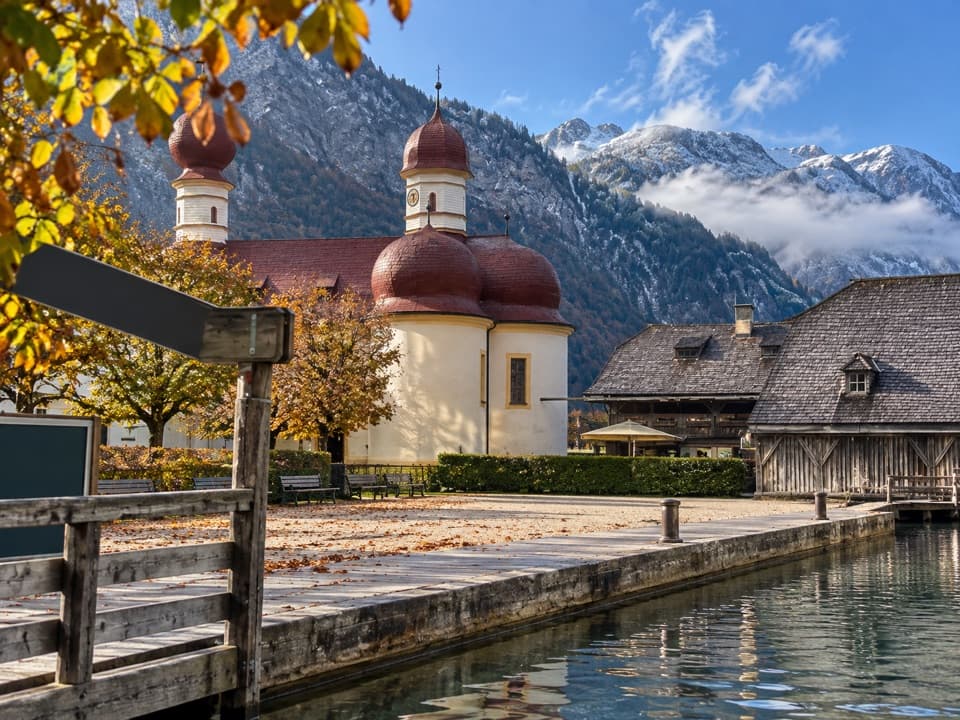
Berchtesgaden National Park, BY
A gentle loop links the lakeshore, woodland and red-domed church.
Overview
Map & elevation
Plan your hike

The highest, rockiest slopes around here are a summer buffet for grizzly bears.
Berchtesgaden Tour Guide
Parkwolf is a GPS audio tour guide for Berchtesgaden National Park. As you drive, it chimes in with what’s ahead: hidden gems, upcoming stops, history, geology, and wildlife, right through your car’s speakers.
More stories near here in the app
“Fantastic app with many points of information… It’s great to just turn on while you’re driving and it gives you an audio tour of the national Park. We love it!!!!”


Trail guide
St. Bartholomä-Rundweg is a 1.9 km (1.2 mi) loop on the Hirschau peninsula, with about 12 m of climbing. From the boat landing, head past the information point, take a short wooded stretch, then follow the lakeshore benches back toward the red-domed church. It is a good choice for a gentle walk between boat stops; the path is described as accessible and easy. Allow about an hour, or up to 1½ hours if you want to linger.
The route moves from a short stretch of woodland to open water. Benches along Königssee give you a place to sit with the steep mountain scenery, while the church courtyard and landing bring the red domes and dark timber shore buildings close. This is a small walk with a distinctive setting, not a substitute for a longer mountain hike.
By the landing, the National Park information point has a free, accessible exhibition about snow and glaciers, karst and springs, plus a 12-minute film about water. There is an accessible restroom there. Beside the church, the restaurant in a former royal hunting lodge serves Bavarian regional dishes, homemade cakes and drinks; it is a separate stop alongside the loop.
St. Bartholomä is reachable only by passenger boat, so check departure and return times before leaving the landing. Weather can delay or suspend service, and winter visits may have restrictions. For a little more walking, continue on the optional Trail 446 spur to the bridge over Eisgraben and the small St. John and Paul chapel; that branch is described as accessible but is not included in the loop distance. Red deer sometimes come down to feed on the peninsula in winter, though a sighting is never guaranteed.
Wildlife
 14 sightingsBearded VultureMost seen around noonSighting map
 29 sightingsGolden EagleMost seen around noonSighting map
 22 sightingsRed DeerMost seen around 6 PMSighting map
 131 sightingsAlpine ChamoisMost seen around 5 PMSighting map
 65 sightingsAlpine SalamanderMost seen around 11 AMSighting map
 63 sightingsAlpine MarmotMost seen around 9 AMSighting map
Sighting maps show where each species has been reported across Berchtesgaden. Wildlife moves, so no sighting is guaranteed.
Keep exploring
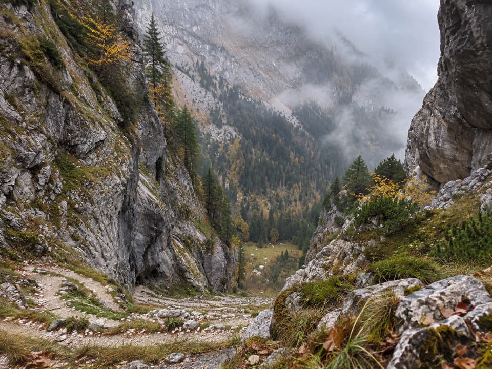 ChallengingFuntensee via Saugasse20 km · 10 hr · At the trailheadThirty-six switchbacks climb from Königssee into the Steinernes Meer.
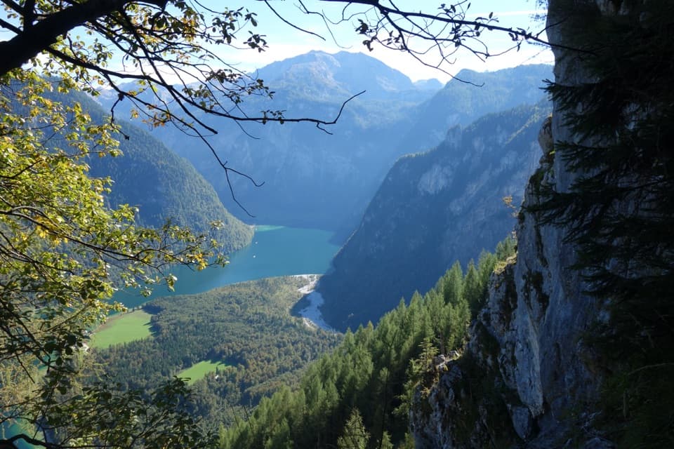 ChallengingRinnkendlsteig11 km · 6 hr · At the trailheadA steep, exposed climb with a high view over Königssee.
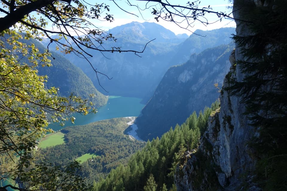 ChallengingWatzmannhaus via Rinnkendl- und Falzsteig8.5 km · 5.5 hr · 0.1 km awayCable-secured ledges above Königssee lead to a high mountain hut
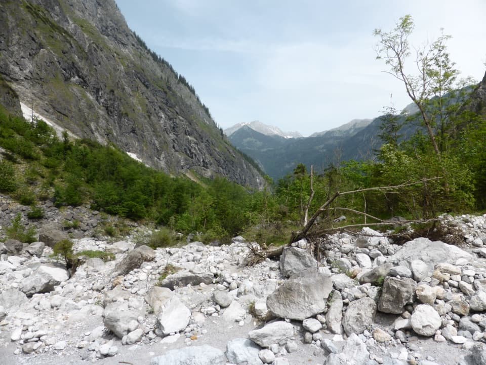 ChallengingFormer Eiskapelle Trail from St. Bartholomä5.9 km · 3.5 hr · 0.2 km awayA steep climb toward the Watzmann’s vanished ice hollow.
 ChallengingGroßes Teufelshorn via Wasseralm21.5 km · 10 hr · 2.1 km awayA remote, boat-accessed summit climb with exposed, cable-secured passages
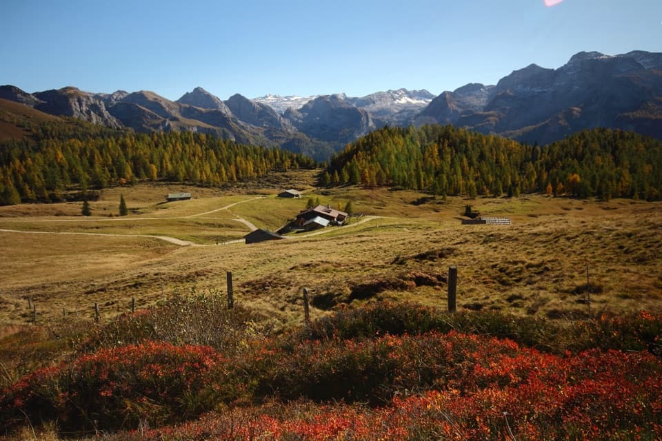 ChallengingGotzenalm via Kaunersteig15.8 km · 8 hr · 2.1 km awayA steep climb earns a balcony over Königssee.
 ModerateObersee – Fischunkelalm – Röthbachfall8 km · 3.5 hr · 2.1 km awayA rocky lakeshore walk to a meadow beneath Germany’s highest waterfall.
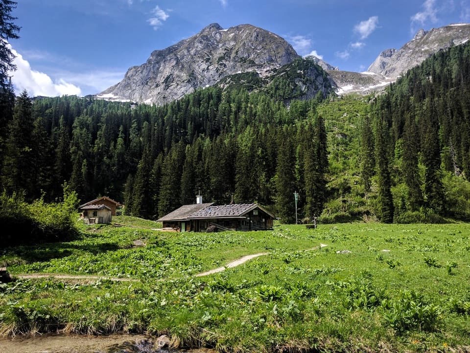 ChallengingWasseralm via Landtalsteig16.7 km · 7 hr · 2.1 km awayA steep, boat-served 10.4-mile climb to Wasseralm and back.
 Food · 0.1 km awayFischerei St. BartholomäA boat-trip stop for smoked fish with a long local history.
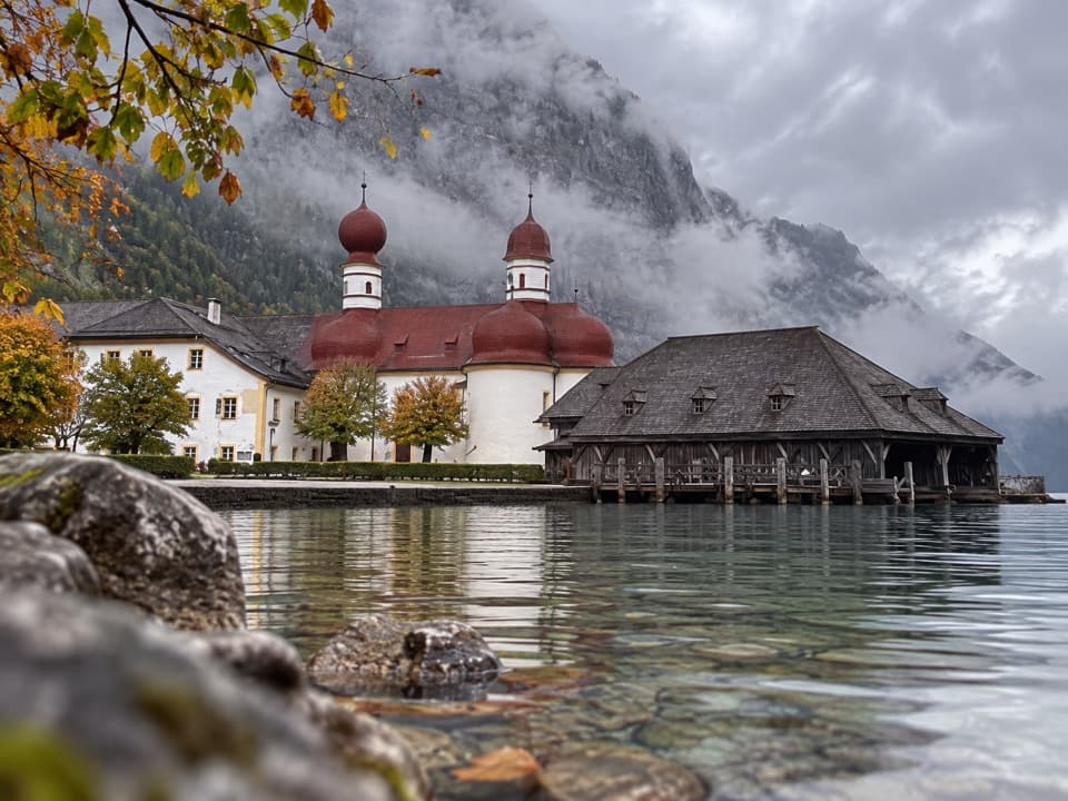 Restaurant · 0.1 km awayGaststätte St. BartholomäBavarian beer in a former royal hunting lodge on Königssee.
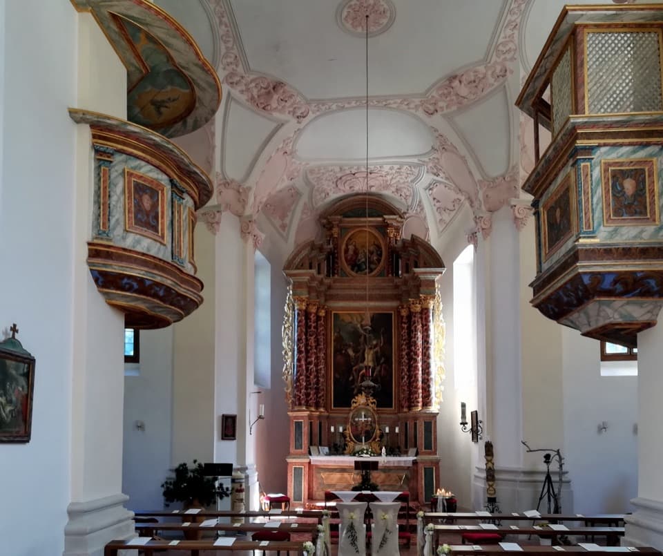 Sight · 0.1 km awaySt. Bartholomä Pilgrimage ChurchA Baroque pilgrimage church beneath Königssee’s towering Watzmann face.
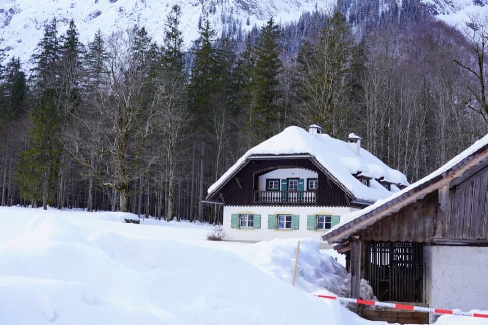 Visitor center · 0.2 km awayNational Park Information Point St. BartholomäA five-room water exhibit and 12-minute film reward a boat stop.
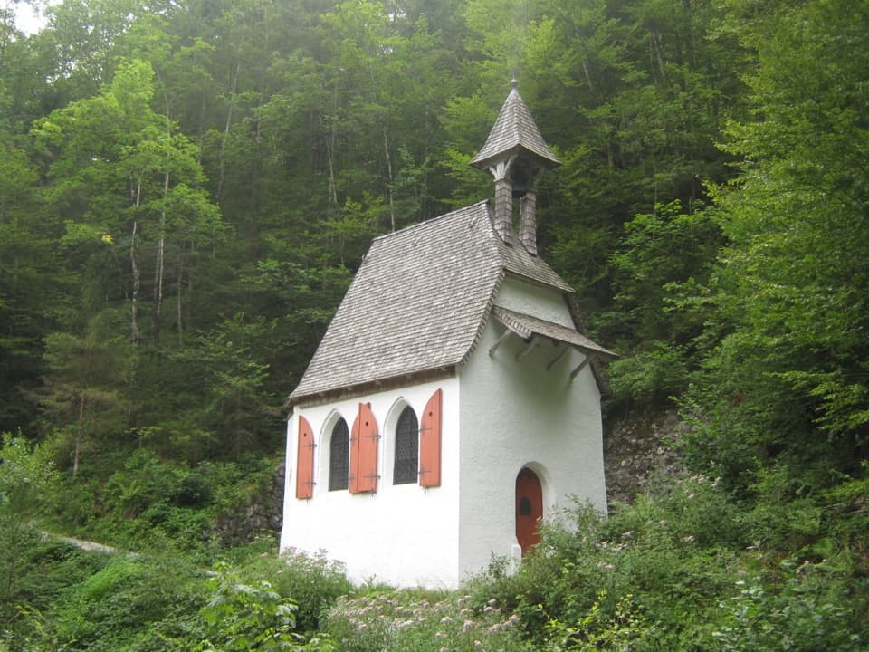 Sight · 0.9 km awaySt. Johann und Paul ChapelA quiet 17th-century chapel before the trail turns steep.
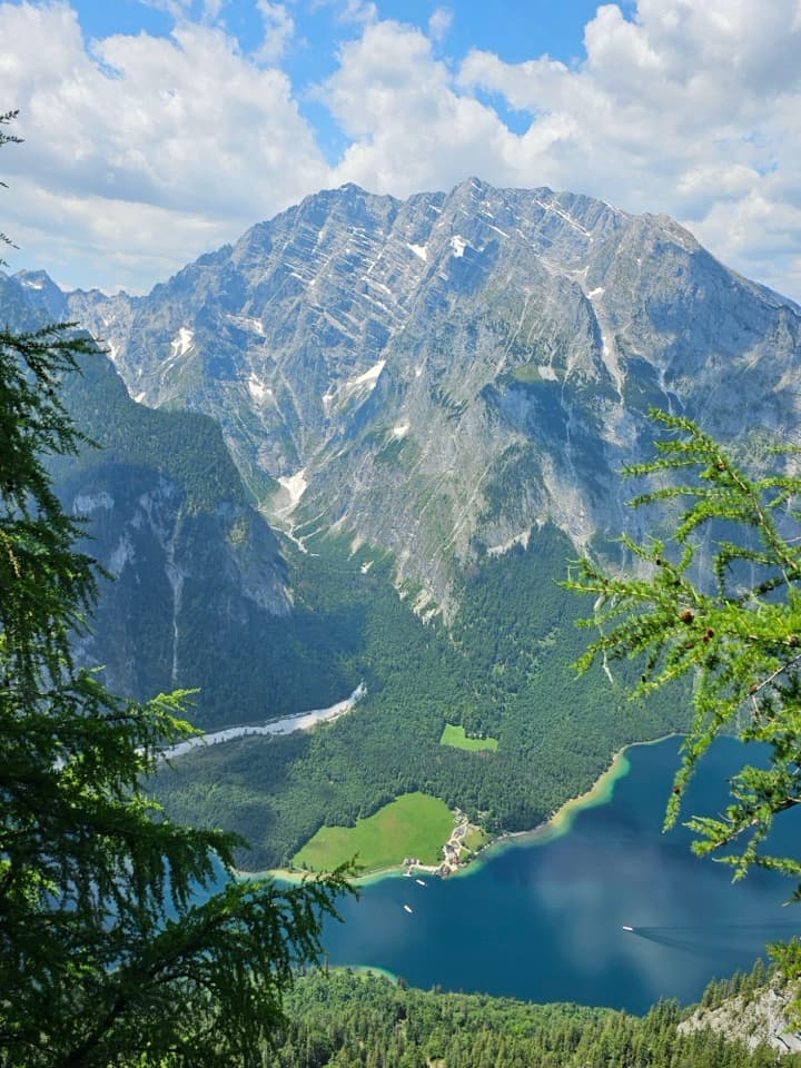 Sight · 1.5 km awayFeuerpalfen ViewpointTen minutes from the hut, with Königssee far below.
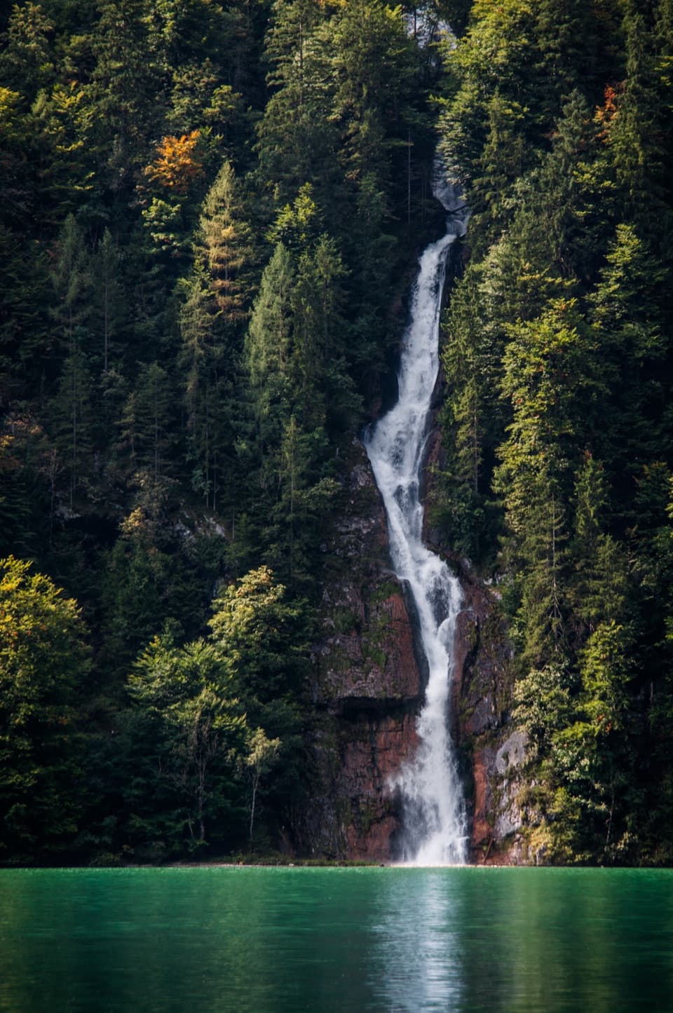 Sight · 1.6 km awaySchrainbach WaterfallA 30-minute walk from St. Bartholomä reaches the 80-meter falls.
 Lodging · 1.9 km awayGotzenalmA ten-minute walk leads to Königssee beneath the Watzmann's east face.
Parkwolf’s Berchtesgaden ranking

The audio tour guide for the drive, plus offline maps, trails, and wildlife heatmaps for when the signal drops.



