Parking
Park at the paid Königssee car park at Seelände, then walk about five minutes through the pedestrian area to the pier. Take the scheduled boat to St. Bartholomä; the trail begins at its landing. The crossing takes about 35 minutes each way.
#10 of 71 trails in Berchtesgaden
Berchtesgaden National Park, BY
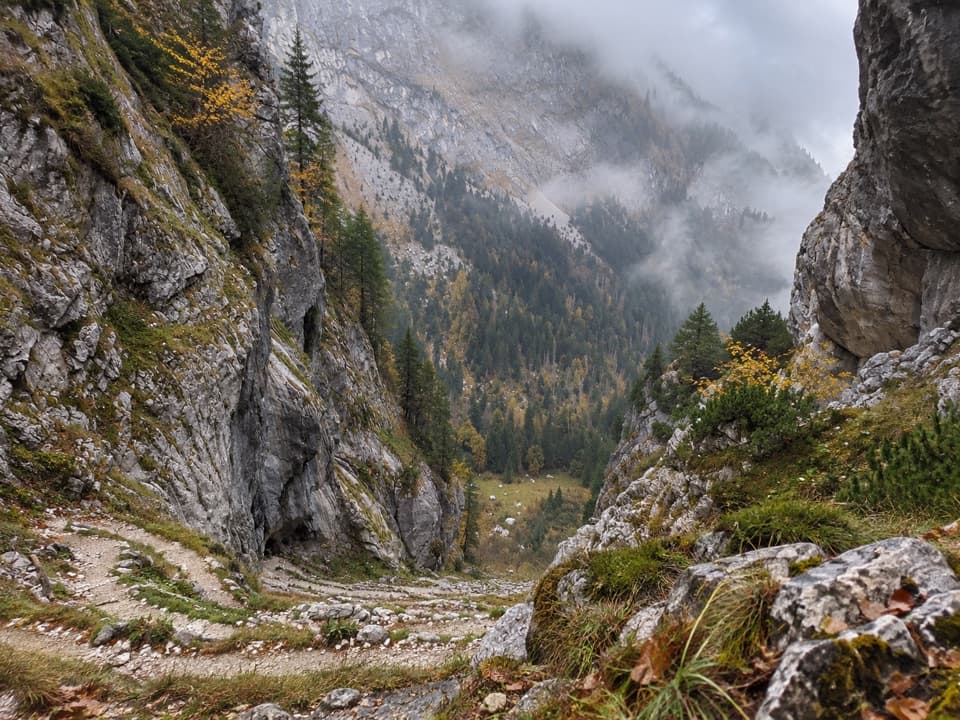
Thirty-six switchbacks climb from Königssee into the Steinernes Meer.
Overview
Map & elevation
Plan your hike

The highest, rockiest slopes around here are a summer buffet for grizzly bears.
Berchtesgaden Tour Guide
Parkwolf is a GPS audio tour guide for Berchtesgaden National Park. As you drive, it chimes in with what’s ahead: hidden gems, upcoming stops, history, geology, and wildlife, right through your car’s speakers.
More stories near here in the app
“Fantastic app with many points of information… It’s great to just turn on while you’re driving and it gives you an audio tour of the national Park. We love it!!!!”


Trail guide
Funtensee via Saugasse is a difficult, boat-accessed out-and-back from St. Bartholomä on Königssee to the Kärlingerhaus above Funtensee, in the Steinernes Meer. Budget about 20 km (12.4 mi) for the return: the published 10 km and five-hour figure is the uphill leg. That leg gains 1,111 m and loses about 82 m; the return follows the same route downhill. Expect a hard, roughly 10-hour walking day. Most hikers split it over two days and stay at the hut; only strong, well-prepared hikers should plan it in one. The route continues beyond the hut on AV 412, but that long-distance continuation toward Saalfelden is a different trip.
The start is the St. Bartholomä passenger-boat landing; there is no road approach to the peninsula. Park at the paid Königssee lot at Seelände, walk about five minutes through the pedestrian area to the pier, then allow about 35 minutes on the boat each way. The walking estimate excludes both crossings. Check the current timetable and last return sailing before you set out. If you plan to stay overnight, reserve the Kärlingerhaus well ahead. Dogs can join the hike on leash, but the boats require a muzzle.
From St. Bartholomä, follow route 410/412 south along the shore for about 2 km. The mostly level opening crosses the usually dry Eisbach, then climbs on a well-built path above Königssee, with some exposed stretches and views back toward the lake and Obersee. Bends steepen beside the Schrainbach gorge and waterfall before the path dips to the former Schrainbachalm. Its wooden shelter makes a useful rest stop; don’t count on it as a meal stop. Cross Schrainbach, enter the forest and take the left branch into the former Unterlahneralm basin rather than continuing toward Sigeretplatte.
The route’s hardest section is the steep, rock-walled Saugasse ravine. Its 36 hairpins gain roughly 350–400 m in a short stretch. The gravel and stone tread is uneven, so take particular care on the descent. At about 1,340 m, the path tops out in a high basin. Turn around at one of the bends: the switchbacks stacked against the ravine walls are the walk’s signature view and the best place to frame a photo of the trail itself.
Beyond Saugasse, the path keeps climbing more gradually through Bärengraben and Kleine Saugasse into the Ofenloch basin. A broad turn around a shoulder brings the Kärlingerhaus into view; the last metres descend slightly to the hut. Funtensee lies below it on the far side. This is high-alpine karst country, not a lakeside stroll: the Steinernes Meer is rugged and nearly waterless, so plan your water before leaving the lower valley and don’t assume there will be a refill across the plateau.
The Kärlingerhaus stands at about 1,638 m above the lake and serves as an overnight base for longer routes across the Steinernes Meer. The basin is known for cold air pooling in its depression: Germany’s record low of −45.9°C was measured here in December 2001. That was an extreme inversion, not a normal summer hiking temperature, but it gives the high basin a story beyond the hut and lake.
Wildlife
 14 sightingsBearded VultureMost seen around noonSighting map
 29 sightingsGolden EagleMost seen around noonSighting map
 22 sightingsRed DeerMost seen around 6 PMSighting map
 131 sightingsAlpine ChamoisMost seen around 5 PMSighting map
 65 sightingsAlpine SalamanderMost seen around 11 AMSighting map
 63 sightingsAlpine MarmotMost seen around 9 AMSighting map
Sighting maps show where each species has been reported across Berchtesgaden. Wildlife moves, so no sighting is guaranteed.
Keep exploring
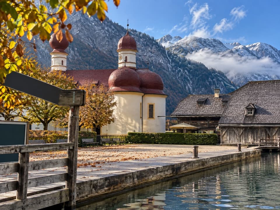 EasySt. Bartholomä-Rundweg1.9 km · 1 hr · At the trailheadA gentle loop links the lakeshore, woodland and red-domed church.
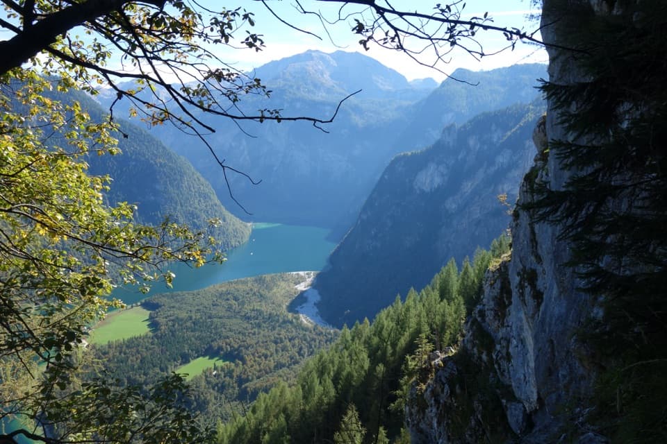 ChallengingRinnkendlsteig11 km · 6 hr · At the trailheadA steep, exposed climb with a high view over Königssee.
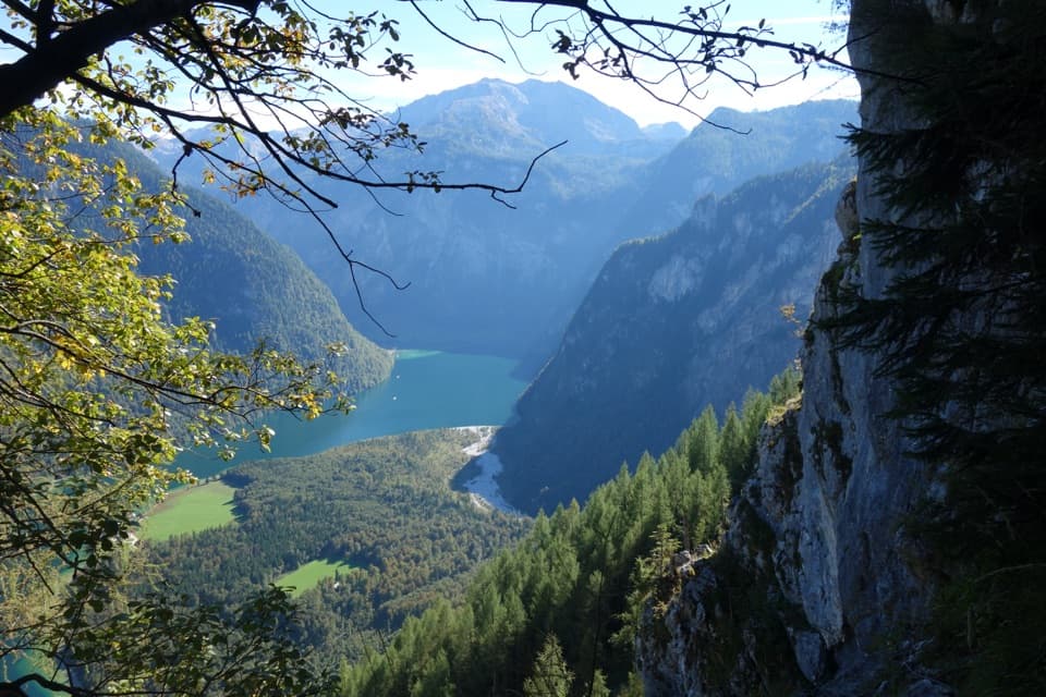 ChallengingWatzmannhaus via Rinnkendl- und Falzsteig8.5 km · 5.5 hr · 0.1 km awayCable-secured ledges above Königssee lead to a high mountain hut
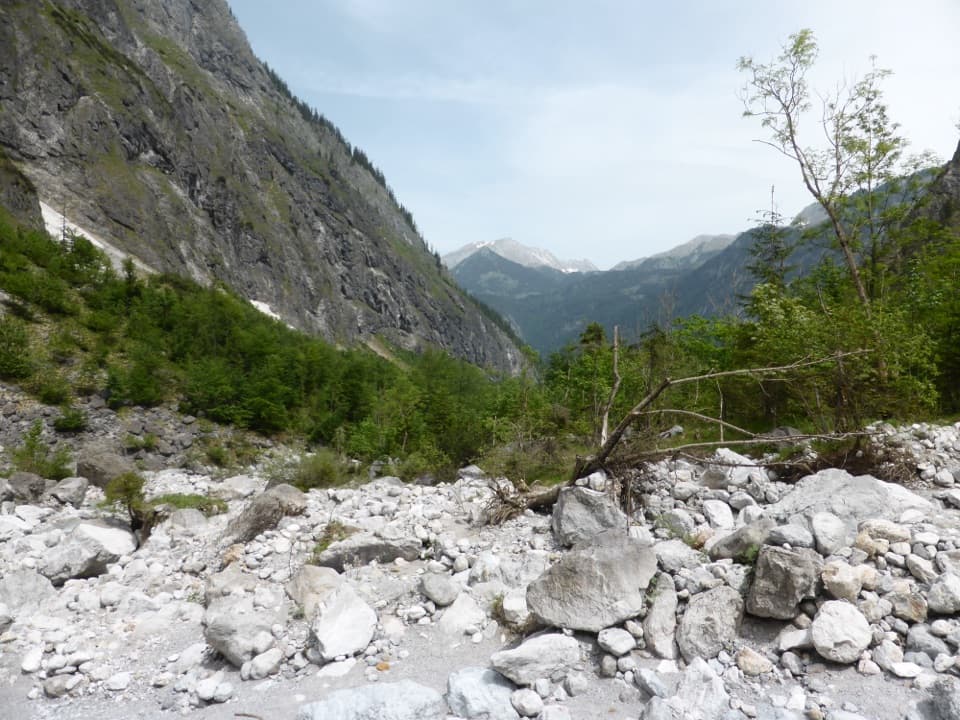 ChallengingFormer Eiskapelle Trail from St. Bartholomä5.9 km · 3.5 hr · 0.2 km awayA steep climb toward the Watzmann’s vanished ice hollow.
 ChallengingGroßes Teufelshorn via Wasseralm21.5 km · 10 hr · 2.1 km awayA remote, boat-accessed summit climb with exposed, cable-secured passages
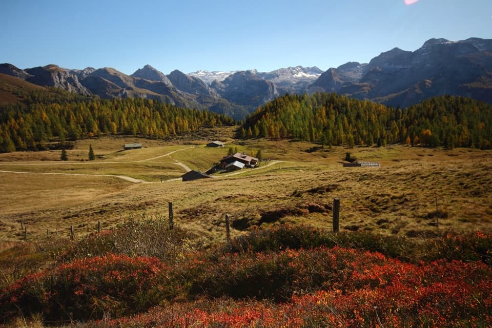 ChallengingGotzenalm via Kaunersteig15.8 km · 8 hr · 2.1 km awayA steep climb earns a balcony over Königssee.
 ModerateObersee – Fischunkelalm – Röthbachfall8 km · 3.5 hr · 2.1 km awayA rocky lakeshore walk to a meadow beneath Germany’s highest waterfall.
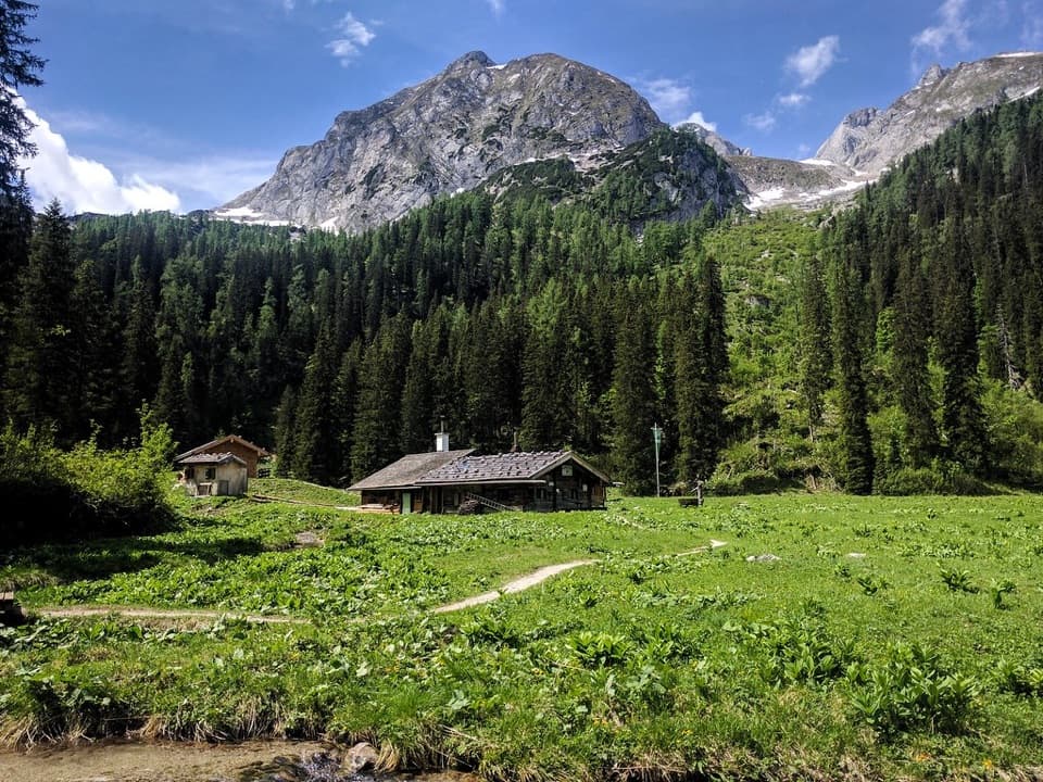 ChallengingWasseralm via Landtalsteig16.7 km · 7 hr · 2.1 km awayA steep, boat-served 10.4-mile climb to Wasseralm and back.
 Food · At the trailheadFischerei St. BartholomäA boat-trip stop for smoked fish with a long local history.
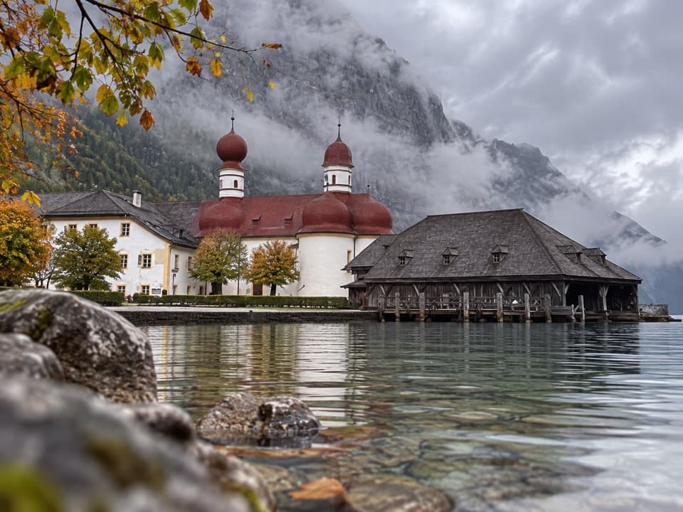 Restaurant · 0.1 km awayGaststätte St. BartholomäBavarian beer in a former royal hunting lodge on Königssee.
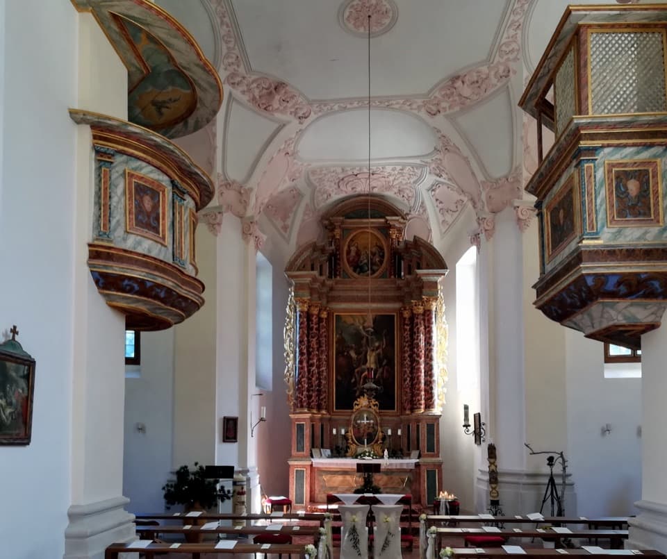 Sight · 0.1 km awaySt. Bartholomä Pilgrimage ChurchA Baroque pilgrimage church beneath Königssee’s towering Watzmann face.
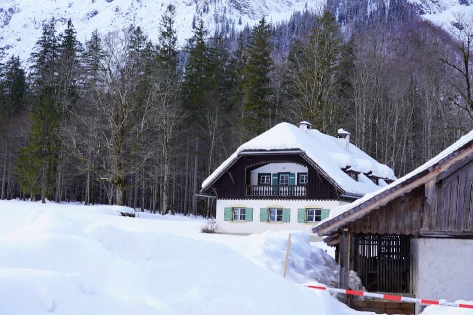 Visitor center · 0.2 km awayNational Park Information Point St. BartholomäA five-room water exhibit and 12-minute film reward a boat stop.
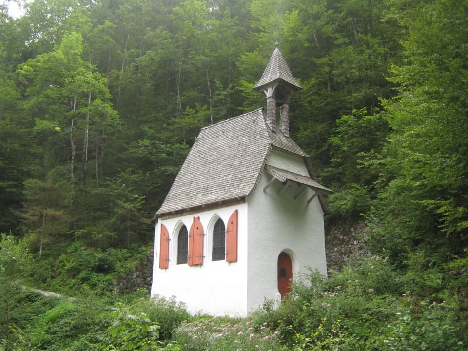 Sight · 0.9 km awaySt. Johann und Paul ChapelA quiet 17th-century chapel before the trail turns steep.
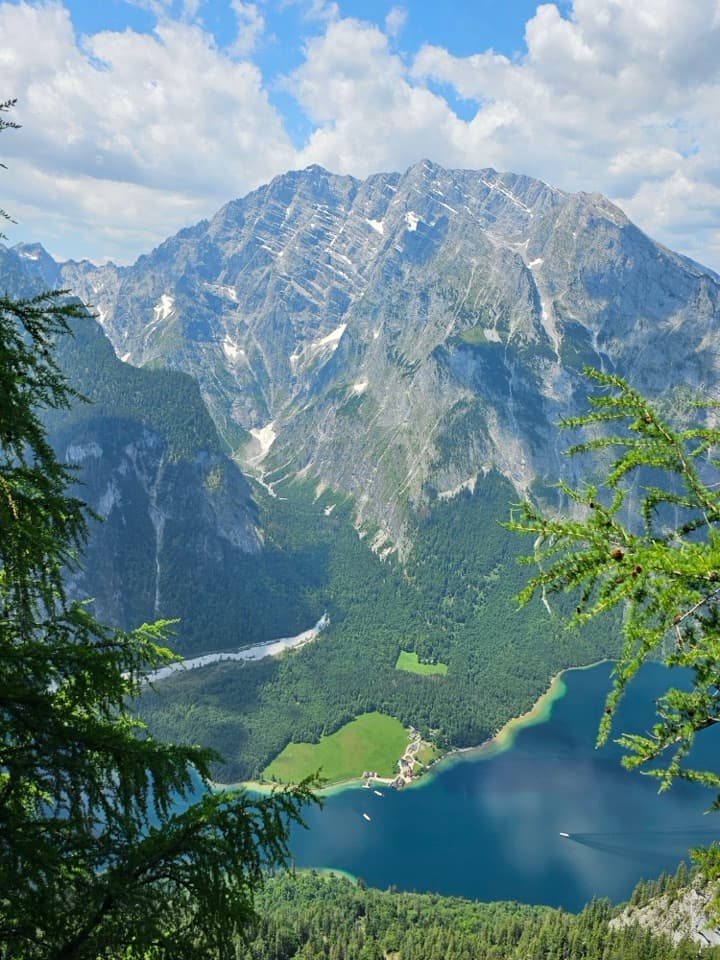 Sight · 1.5 km awayFeuerpalfen ViewpointTen minutes from the hut, with Königssee far below.
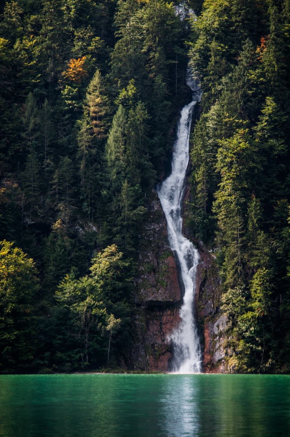 Sight · 1.6 km awaySchrainbach WaterfallA 30-minute walk from St. Bartholomä reaches the 80-meter falls.
 Lodging · 2 km awayGotzenalmA ten-minute walk leads to Königssee beneath the Watzmann's east face.
Parkwolf’s Berchtesgaden ranking

The audio tour guide for the drive, plus offline maps, trails, and wildlife heatmaps for when the signal drops.



