Parking
Use Parkplatz Hinterbrand (Jenner) on Scharitzkehlstraße. Follow marked trail 498 toward the Jennerbahn middle station; the full circuit returns to the same lot by Königsweg.

#1 of 71 trails in Berchtesgaden
Berchtesgaden National Park, BY
A long alpine loop over a summit plateau to a turquoise lake.
Overview
The Kleine Reibn is an 18.7-km (11.6-mile) loop from Parkplatz Hinterbrand over Schneibstein, down through the Seeleinsee basin and Stiergraben, and back by Priesbergalm and Königsweg. The published route time is 8½ hours; allow 9–10 with breaks. It gains and loses about 1,119 m, with steep rock and a high traverse. This is a hard, full-day mountain hike, not a quick summit tag. The shorter cable-car version starts at Jenner's upper station and finishes at the middle station; this row covers the complete return to Hinterbrand.
 Parkwolf’s verdictIs this the hike for you?
Map & elevation
Plan your hike

The highest, rockiest slopes around here are a summer buffet for grizzly bears.
Berchtesgaden Tour Guide
Parkwolf is a GPS audio tour guide for Berchtesgaden National Park. As you drive, it chimes in with what’s ahead: hidden gems, upcoming stops, history, geology, and wildlife, right through your car’s speakers.
Recorded for this trailhead
Hinterbrand: Pasture Walk or Alpine Circuit“You're approaching Hinterbrand, a starting point for mountain walks above Königssee.”
Plays as you drive up to this trailhead in the Parkwolf Berchtesgaden Tour Guide.
More stories near here in the app
“Fantastic app with many points of information… It’s great to just turn on while you’re driving and it gives you an audio tour of the national Park. We love it!!!!”


Trail guide
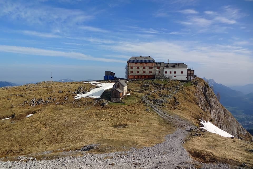
Start on forestry road 498 toward the Jennerbahn middle station. Just before it, the narrower trail 498a turns left and climbs in long switchbacks to Mitterkaser. Keep climbing over Jennersattel to Carl-von-Stahl-Haus at Torrener Joch. The steady rise through forest and open slope is the warm-up; the broken, high route comes after the hut.
From Stahlhaus the path heads southeast through dwarf pines, over a steep rise and across Blumengarten, a rough karst plateau. Two broken-rock steps lead onto the broad ridge and across Schneibstein's 2,276-m summit plateau. The summit has two crosses and wide views across the Hagengebirge and Steinernes Meer to the Watzmann East Face, Schönau and Untersberg. Expect uneven rock and a few hands-on moves. For a photo, frame the crosses with the serrated Hagengebirge behind them so the open plateau still reads in the picture. Ibex are often seen near the summit, and marmots live on the high pastures, though neither is guaranteed.
From the summit, markers lead south across rolling ground toward Windscharte. The trail drops below Windschartenkopf into the valley between it and Fagstein, then traverses between a mountain-rescue hut and Seeleinsee at 1,809 m. Stones on this traverse can be slick. The lake sits in a rocky bowl below pale cliffs; a short step down to its south shore gives the broadest view back through the basin. Return to the marked route and turn right at the junction for Stiergraben.
Stiergraben starts as a rocky descent, then turns greener toward the pasture at Priesbergalm. A stream crossing and another rise onto open meadow interrupt the downhill, so this is still work when your legs are tired. At the alm, follow Königsweg back to Hinterbrand. It's a gentler track than the high traverse, but there is a substantial walk left before the loop is done.
In local speech, a Reib'n is a round trip, which fits the circuit. The Kleine Reibn is also a classic winter ski tour; for hiking, the regional route page points to summer and autumn, usually June through October. High-country snow and conditions still matter, so don't treat the hiking route as a winter alternative.
The park's geology guide dates the limestone story to deposits in the ancient Tethys Sea about 200 million years ago, later folded and lifted into today's high plateaus. Older Lower Triassic Werfen rock is exposed around Torrener Joch, and large megalodont shell fossils occur in the limestone. Carl-von-Stahl-Haus and Priesbergalm are stops on the route, but their seasonal food service was not confirmed; carry enough food and water for the day. Dogs must be leashed in the park, and the steep, broken upper route is a poor choice for many dogs.
Wildlife
 14 sightingsBearded VultureMost seen around noonSighting map
 29 sightingsGolden EagleMost seen around noonSighting map
 22 sightingsRed DeerMost seen around 6 PMSighting map
 131 sightingsAlpine ChamoisMost seen around 5 PMSighting map
 65 sightingsAlpine SalamanderMost seen around 11 AMSighting map
 63 sightingsAlpine MarmotMost seen around 9 AMSighting map
Sighting maps show where each species has been reported across Berchtesgaden. Wildlife moves, so no sighting is guaranteed.
Keep exploring
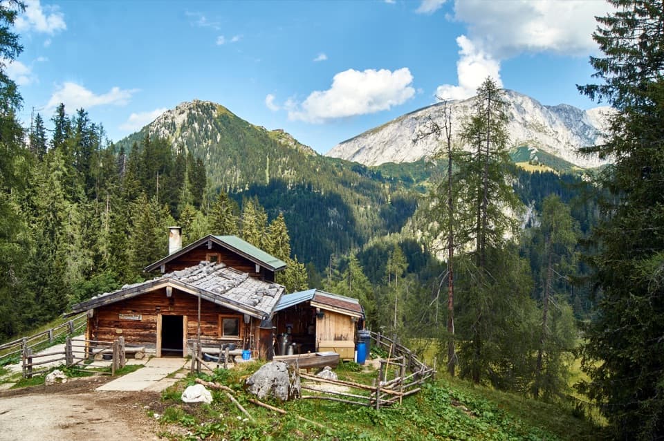 ModeratePriesbergalm via Königsweg11.7 km · 4 hr · At the trailheadAlpine meadows and the Watzmann’s East Face reward the climb.
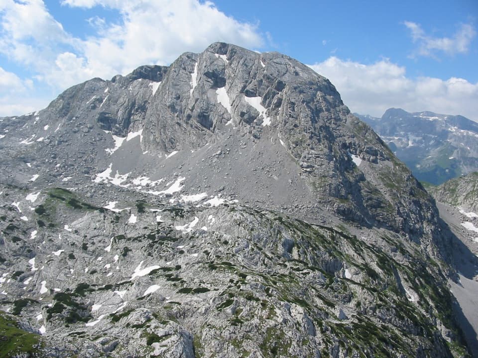 ChallengingKahlersberg via Mauslochsteig19.5 km · 9 hr · At the trailheadA full day to Kahlersberg, with a wire-secured west-wall climb.
 ChallengingHohes Brett Loop from Hinterbrand15.3 km · 8 hr · 0.2 km awayA hard alpine loop with cable-secured rock and a broad summit.
 ChallengingHoher Göll via Alpeltalsteig13 km · 7.5 hr · 0.4 km awayA full-day climb across limestone karst to a 2,522 m summit.
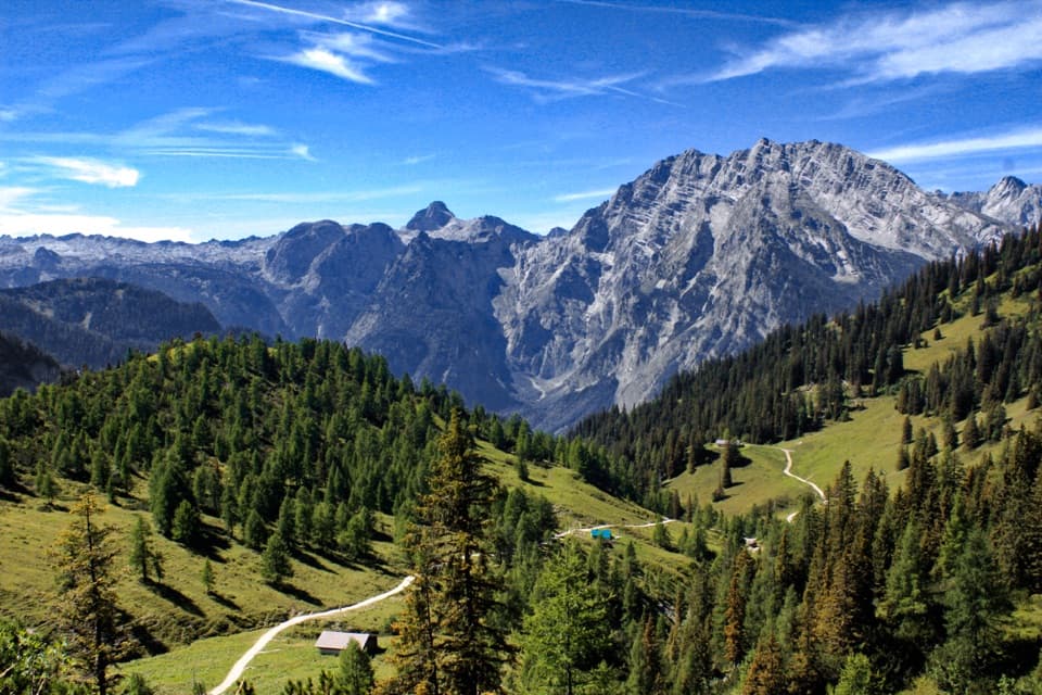 ModerateJenner to Königssee via Stahlhaus10 km · 4 hr · 2.1 km awayTwo alpine huts, then a long descent to Königssee
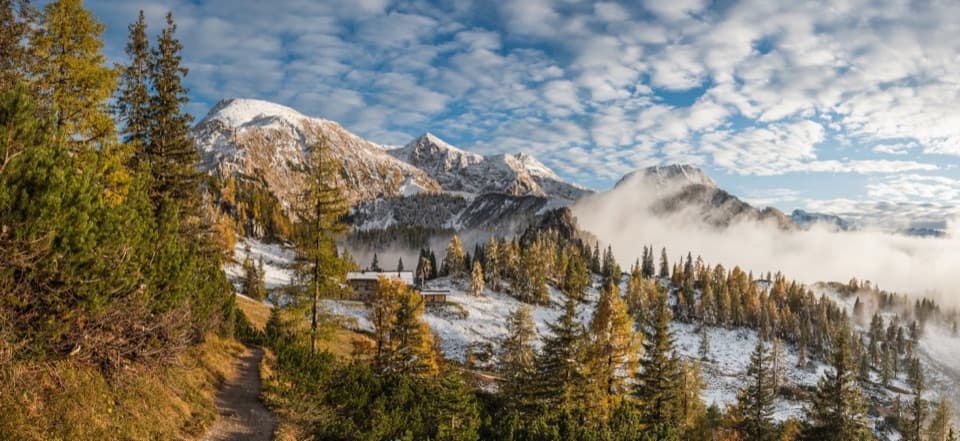 ChallengingSchneibsteinhaus Trail via Hochbahn14.7 km · 8.5 hr · 2.2 km awayA full-day climb from spruce forest to an alpine hut.
 ChallengingGroße Sommer-Reibn56.6 km · 1 days · 2.2 km awaySix days of huts, lakes and exposed passes in limestone country.
 ModerateKönigsbachalm via Hochbahn8.2 km · 3.8 hr · 2.4 km awayA steep forest climb ends at a mountain pasture above Königssee.
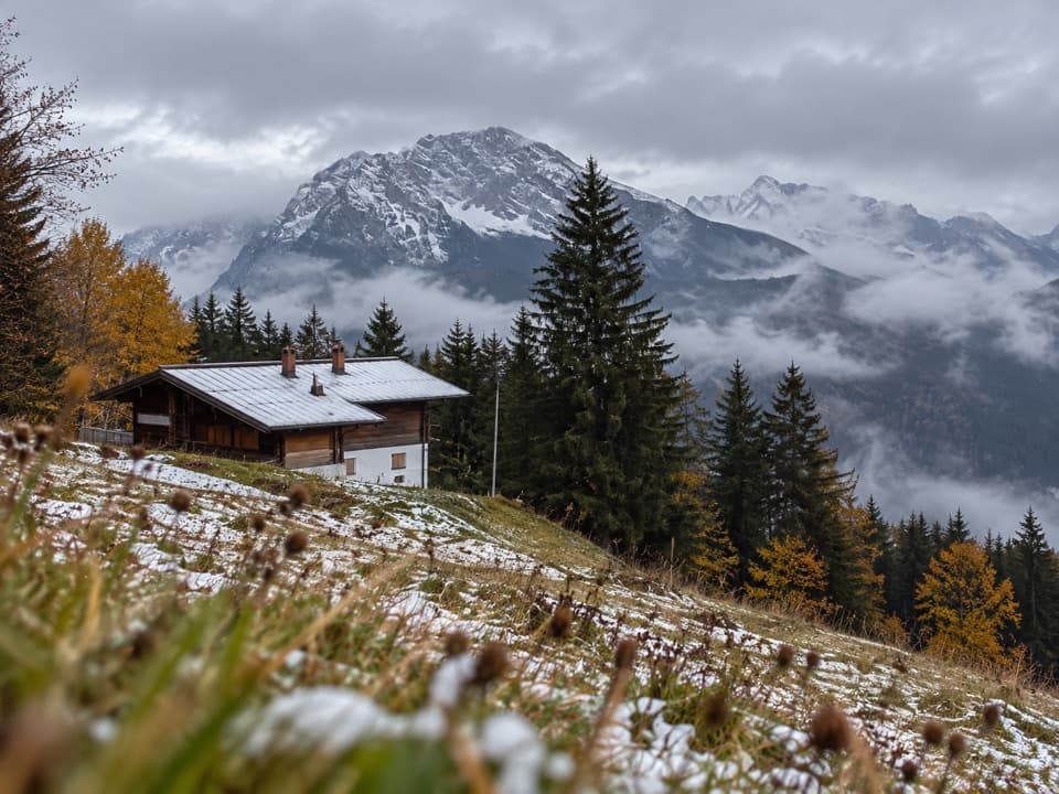 Restaurant · 1.4 km awayDr.-Hugo-Beck-HausWatzmann views reward the uphill walk to this Jenner hut.
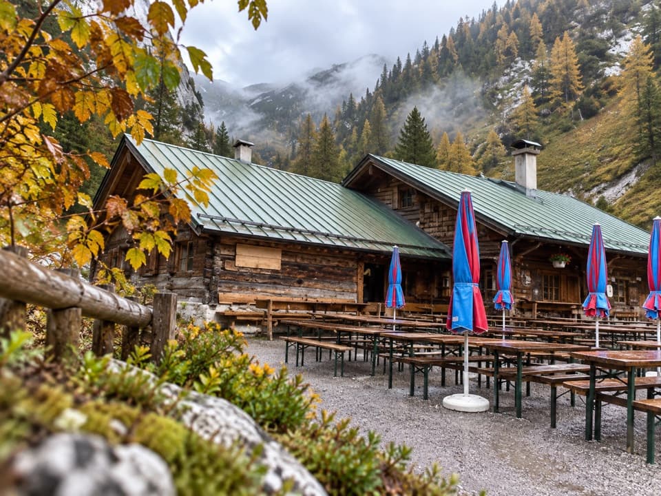 Restaurant · 1.8 km awayMitterkaseralm am JennerHomemade cakes and Bavarian snacks make this a good Jenner detour.
 Visitor center · 2.1 km awayJenner National Park Information PointA free, hands-on look at life in the rocky Alps.
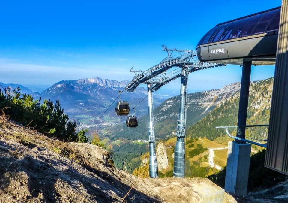 Sight · 2.2 km awayJennerbahnRide above Königssee, then see the park’s free rock-habitat exhibit.
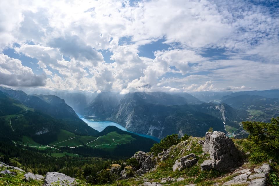 Sight · 2.2 km awayKönigsblick (Jenner Summit Viewpoint)A steep climb for a fjord-like view down Königssee.
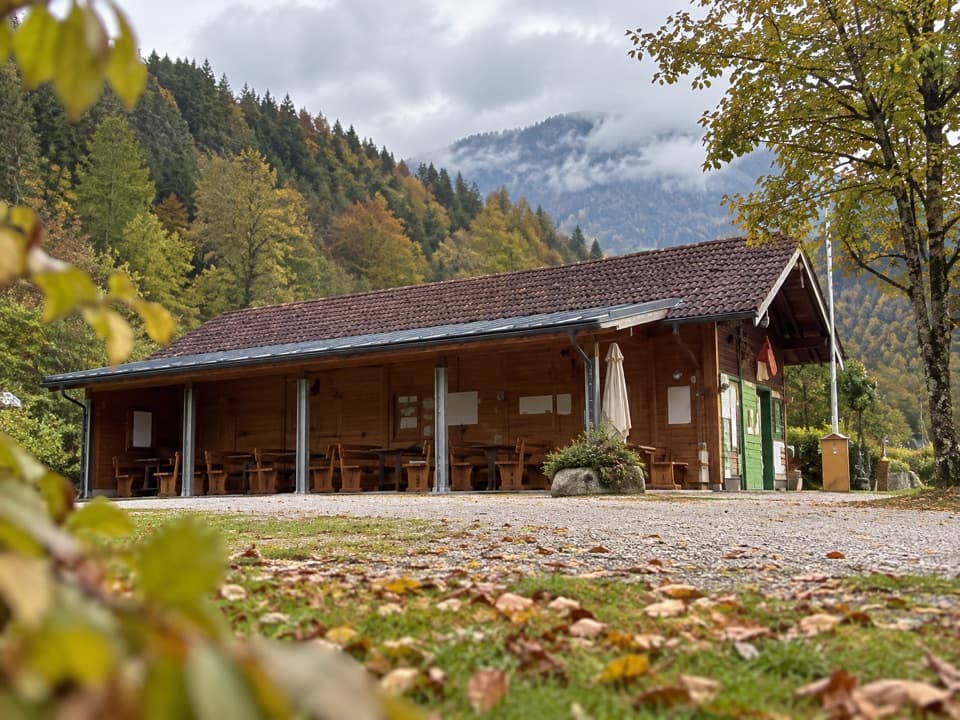 Campground · 2.6 km awayCamping MühlleitenA Königssee camping base with direct Watzmann views.
 Sight · 2.7 km awayMalerwinkel ViewpointA short climb opens Königssee toward St. Bartholomä and Schönfeldspitze.
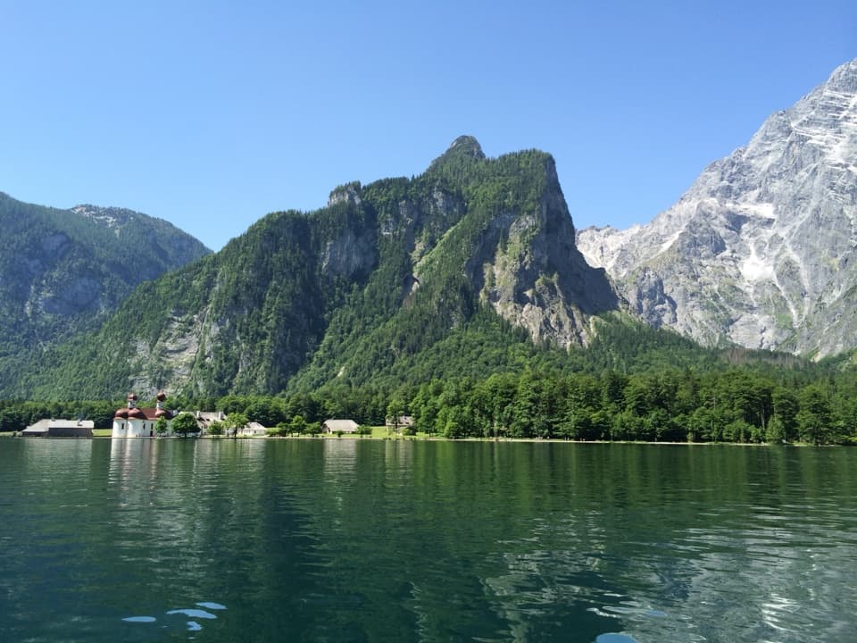 Sight · 2.7 km awayKönigsseeElectric boats cross deep green water beneath the Watzmann East Face.
Parkwolf’s Berchtesgaden ranking
The audio tour guide for the drive, plus offline maps, trails, and wildlife heatmaps for when the signal drops.