Feuerpalfen Viewpoint in Berchtesgaden National Park

Sight · Berchtesgaden National Park

Feuerpalfen Viewpoint

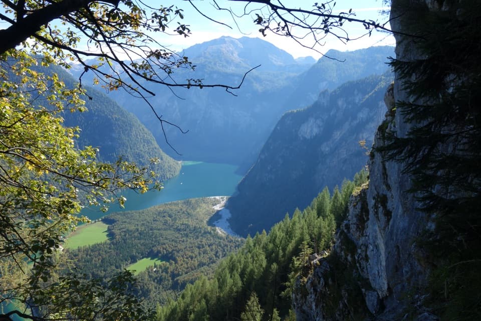
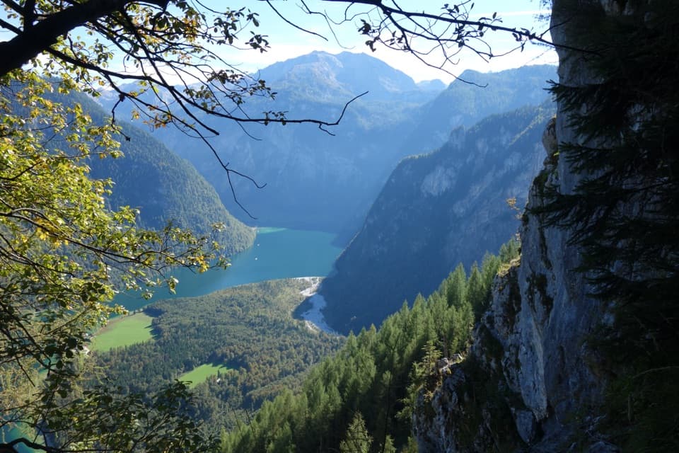
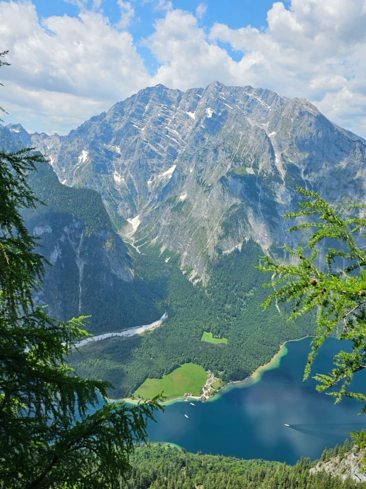
Ten minutes from the hut, with Königssee far below.

Photo: Wikimedia Commons
Type
Sight
Nearest trail
1.5 km
  • Scenic viewpoint

Hear the audio tour

Jennerbahn: Ride Up for Königsblick

Overview

About Feuerpalfen Viewpoint

Why stop

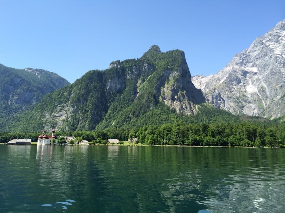
  • A steep, high-angle view lines up Königssee, St. Bartholomä and Watzmann’s east face.

Heads up

  • A short spur only after a long mountain approach; not a roadside stop.

Map

Where it is

Loading the Berchtesgaden map
Full map
SightFeuerpalfen Viewpoint47.54084, 12.99246
Keep this map with you offline in the Parkwolf app

Plan your stop

Before you go

3 active Berchtesgaden alerts

  • ClosureKlausbachtal trails closed for bridge and flood-protection workAvoid the closed Klausbachtal trail sections; the Klausbach cannot be crossed at the affected bridges. - Trail No.Official details
  • ClosureKönigsbach Waterfall Gumpen area closedDo not enter the area around the “Gumpen” pools at the Königsbach Waterfall on Königssee.Official details

See all 3 alerts
A park ranger sits on a dash-mounted phone, talking, as Parkwolf’s Tour Guide plays “Army Cutworm Moths: A Grizzly Bear Buffet” on Grand Loop Road below Dunraven Pass in Yellowstone
Parkwolf Tour GuideThe highest, rockiest slopes around here are a summer buffet for grizzly bears.

Berchtesgaden Tour Guide

Your drive to Feuerpalfen Viewpoint, narrated.

Parkwolf is a GPS audio tour guide for Berchtesgaden National Park. As you drive, it chimes in with what’s ahead: hidden gems, upcoming stops, history, geology, and wildlife, right through your car’s speakers.

Recorded for this place

Jennerbahn: Ride Up for Königsblick
0:00 / 0:34
“You're nearing the Jennerbahn valley station, where the gondola takes you high above Königssee. I'd choose this on a clear day, when you can enjoy the lake and the Watzmann across it.”

Plays as you drive up to Feuerpalfen Viewpoint in the Parkwolf Berchtesgaden Tour Guide.

More stories near here in the app

  • Königssee by Boat or on Foot
  • Hinterbrand: Pasture Walk or Alpine Circuit
  • A Schnapps Dug from the Mountain
  • Reading the Ice’s Past
  • 25 audio storiesacross Berchtesgaden’s roads, triggered by GPS as you drive
  • Wildlife heatmapsfor Bearded Vulture, Golden Eagle, Red Deer, and 13 more
  • Works offlinemaps, 71 trails, 57 places, and audio download before you lose signal
  • CarPlay readysimple controls built for the drive
★★★★★
“Fantastic app with many points of information… It’s great to just turn on while you’re driving and it gives you an audio tour of the national Park. We love it!!!!”
JMJamesApp Store review
Download Parkwolf on the App StoreGet Parkwolf on Google Play

4.7 from 8,600+ ratings

Guide

More about Feuerpalfen Viewpoint

The view comes after the climbFeuerpalfen is a natural rocky lookout at 1,728 m, just below Warteck and about a 10-minute…

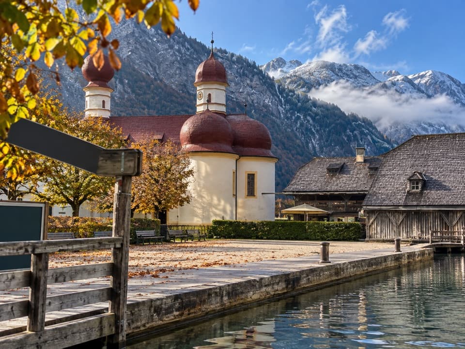
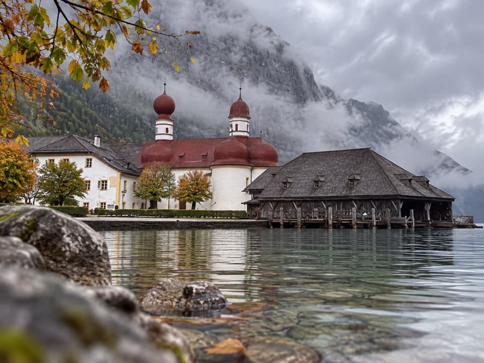
Feuerpalfen is a natural rocky lookout at 1,728 m, just below Warteck and about a 10-minute walk from Gotzenalm. It looks down on Königssee and the Hirschau peninsula, where St. Bartholomä’s red-domed pilgrimage church stands, with the Watzmann’s steep east face rising across the water. If you’re already at the hut, this is a short, worthwhile spur. It is not a drive-up viewpoint: reaching Gotzenalm means a much longer mountain approach.

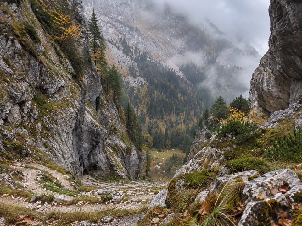
Plan for the whole routeFrom Gotzenalm, a short mountain path leads to the viewing platform and railing.

From Gotzenalm, a short mountain path leads to the viewing platform and railing. The approaches to the hut include long hikes from Königssee or Hinterbrand; the Kaunersteig from Salet is very demanding and for experienced mountaineers. Choose a route for the full climb to the hut, not just the ten-minute viewpoint spur.

Read the view from the railingThe lake lies far below, with the Hirschau peninsula and St. Bartholomä along its shore.

The lake lies far below, with the Hirschau peninsula and St. Bartholomä along its shore. Across the water, the Watzmann’s east face fills the skyline. For a photo, frame the church low with the rock wall behind it and leave some lake between them; that gives the tiny peninsula and the huge face a useful sense of scale.

A wall of old limestoneThe Watzmann east face is limestone, marked by broad bands visible across the lake.

The Watzmann east face is limestone, marked by broad bands visible across the lake. The surrounding high country includes Dachstein limestone formed from marine deposits in the Tethys about 200 million years ago. From this ledge, that layered mountain wall is part of the view, not an abstract geology lesson.

Use Gotzenalm as your baseGotzenalm, ten minutes back from the lookout, is the nearby seasonal mountain hut, with hearty…

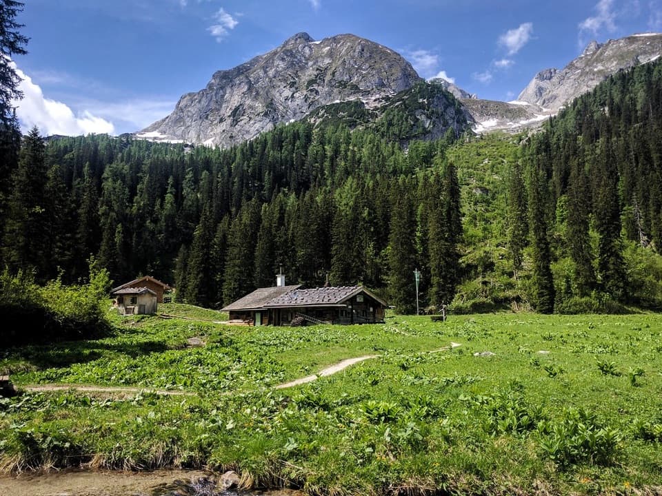
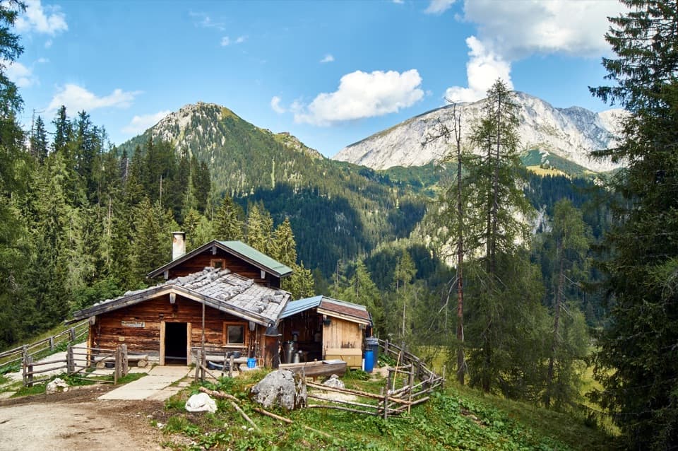
Gotzenalm, ten minutes back from the lookout, is the nearby seasonal mountain hut, with hearty meals, hot and cold drinks, coffee and cake. It also has rooms and dormitory beds by reservation. Treat those as hut services: the viewpoint itself is a short rocky spur above the lake.

Wildlife

Wildlife in Berchtesgaden

All Berchtesgaden wildlife maps

Sighting maps show where each species has been reported across Berchtesgaden. Wildlife moves, so no sighting is guaranteed.

Keep exploring

Near Feuerpalfen Viewpoint

See it all on the map

Trails nearby

More stops nearby

Parkwolf’s Berchtesgaden ranking

Top sights in Berchtesgaden

All 57 places
  1. 1KönigsseeSight
  2. 2St. Bartholomä Pilgrimage ChurchSight
  3. 3OberseeSight
  4. 4WimbachklammSight
  5. 5Haus der BergeSight
  6. 6HinterseeSight

Take Parkwolf to Berchtesgaden.

The audio tour guide for the drive, plus offline maps, trails, and wildlife heatmaps for when the signal drops.

4.7 from 8,600+ ratings

Download Parkwolf on the App StoreGet Parkwolf on Google Play