Croton Spring Trail in Big Bend National Park

Big Bend National Park, TX

Croton Spring Trail

A short wash walk reaches a spring that sustains desert wildlife.

Photo: National Park Service
Length
0.8mi
Time
30min
Elevation
Flat
Difficulty
Easy
  • No dogs
  • High point 3,379 ft

Hear the audio tour

The Madrone’s Changing Bark

Overview

About Croton Spring Trail

Why go

  • A short walk to one of Big Bend’s few trail-accessible springs
  • Chisos view across the wash on the return

Heads up

  • Cairns matter after the creek crossing
  • No shade or facilities at the trailhead

Map & elevation

The route

Loading the Big Bend map
Full map
Elevation3,353–3,379 ft
TrailheadCroton Spring Trail Parking at Croton Spring Road clearing29.34000, -103.34537
Keep this map with you offline in the Parkwolf app

Plan your hike

Before you go

Parking

Take Croton Spring Road about a mile to the campsite clearing, roughly nine miles west of Panther Junction Visitor Center. Trail parking is across the clearing from Croton Spring 1 campsite; keep the campsite access clear. The improved dirt road is generally passable by all vehicles but may be deeply rutted after rain. No shade or toilets.

Safety

The trail fades beyond the creek crossing; follow the cairns. Spring habitat is fragile, so stay on the established path. Pets are prohibited on park trails; service animals are allowed.

2 active Big Bend alerts

  • ClosureWeather-related road closuresDo not use these closed roads; NPS lists the closures as in effect until further notice.Official details
  • InfoBoquillas Crossing schedule changeBoquillas Crossing is open Friday through Monday, 9:00 a.m.–4:00 p.m.; NPS says it will not change to winter hours at this time. Check current park conditions before planning a crossing.Official details
Big Bend alerts
A park ranger sits on a dash-mounted phone, talking, as Parkwolf’s Tour Guide plays “Army Cutworm Moths: A Grizzly Bear Buffet” on Grand Loop Road below Dunraven Pass in Yellowstone
Parkwolf Tour GuideThe highest, rockiest slopes around here are a summer buffet for grizzly bears.

Big Bend Tour Guide

Your drive to Croton Spring Trail, narrated.

Parkwolf is a GPS audio tour guide for Big Bend National Park. As you drive, it chimes in with what’s ahead: hidden gems, upcoming stops, history, geology, and wildlife, right through your car’s speakers.

See the Big Bend audio tour

Recorded for this area

The Madrone’s Changing Bark
0:00 / 0:30
“On a walk in the Chisos, look for a tree with smooth pink or reddish bark and crooked, spreading branches. That's a good clue to Texas madrone.”

Plays on the road 0.7 mi from the trailhead in the Parkwolf Big Bend Tour Guide.

More stories near here in the app

  • The Vulture’s Wobbly Glide
  • The Geologist Who Chose the Drive
  • The Desert’s Stone Paving
  • A Shell with Empty Rooms
  • 110 audio storiesacross Big Bend’s roads, triggered by GPS as you drive
  • Wildlife heatmapsfor Black Bear, Collared Peccary, White-tailed Deer, and 13 more
  • Works offlinemaps, 45 trails, 64 places, and audio download before you lose signal
  • CarPlay readysimple controls built for the drive
★★★★★
“Fantastic app with many points of information… It’s great to just turn on while you’re driving and it gives you an audio tour of the national Park. We love it!!!!”
JMJamesApp Store review
Download Parkwolf on the App StoreGet Parkwolf on Google Play

4.7 from 8,600+ ratings

Trail guide

Hiking Croton Spring Trail

A short walk into Croton WashCroton Spring Trail is an easy 0.

Croton Spring Trail is an easy 0.8-mile out-and-back from the Croton Spring Road clearing to a small spring wetland in Croton Wash. It follows a gated former road, then a faint desert path, and makes a worthwhile half-hour if you want a short walk to one of Big Bend's few trail-accessible springs. The 0.8 miles is the full return walk; allow about 30 minutes, more if you linger by the wash.

Keep the cairns in sightWalk around the vehicle gate and follow the old road until it ends.

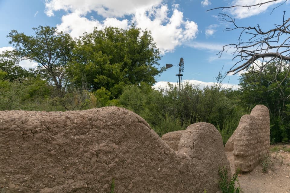
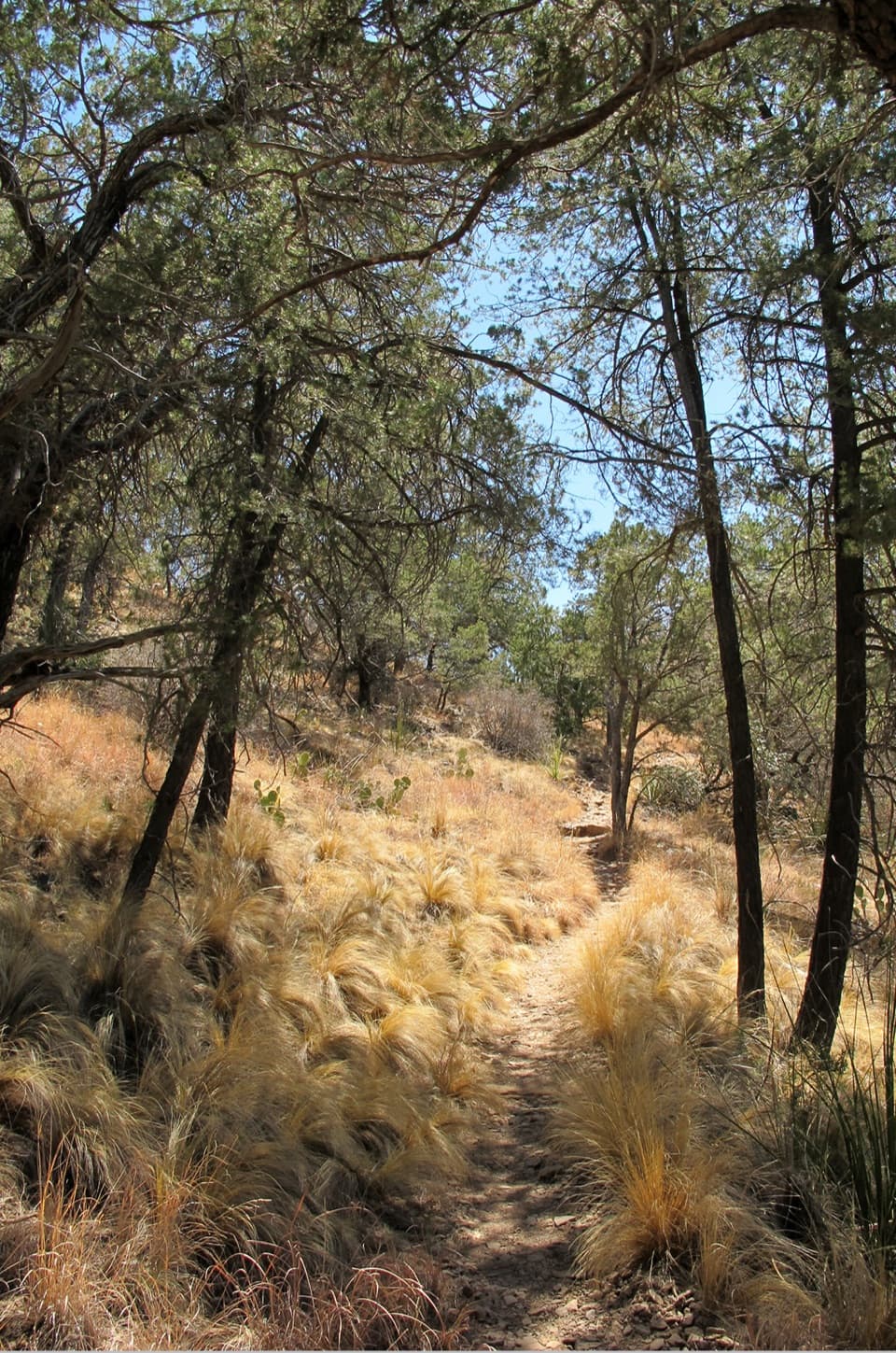
Walk around the vehicle gate and follow the old road until it ends. A narrower path continues through low desert vegetation, skirts a small creek, then crosses it. Beyond the crossing, cairns are the main route markers; keep looking for them rather than wandering into nearby washes. Croton Spring may look more like a small wetland than a bubbling pool, so come for the quiet wash setting rather than a waterfall.

Why the spring mattersCroton Spring is a small but reliable water source for wildlife, and one of the few springs in…

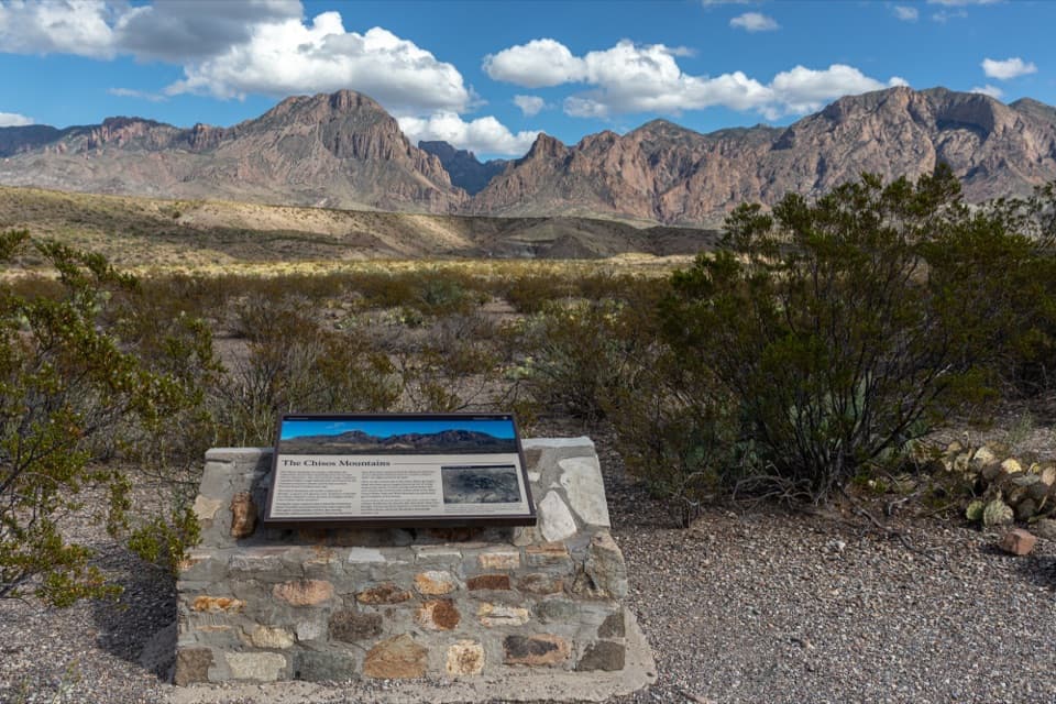
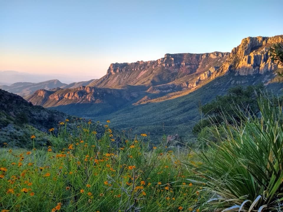
Croton Spring is a small but reliable water source for wildlife, and one of the few springs in Big Bend reachable by trail. Spring margins support unusually sensitive plant and animal life, including rare plants and snails. Stay on the established line instead of cutting across the damp ground. On the return, the wash opens toward a long view of the Chisos Mountains; the pale gravel and grasses make a good foreground for the ridge.

Access and rulesCroton Spring Road runs about a mile from the main park road to the campsite clearing, roughly…

Croton Spring Road runs about a mile from the main park road to the campsite clearing, roughly nine miles west of Panther Junction Visitor Center. Use the separate trail parking across the clearing from Croton Spring 1 campsite and keep its access clear. The improved dirt road is generally passable by all vehicles but can become deeply rutted after rain. There is no shade, toilet, or food service at the trailhead. Pets aren't allowed on park trails; service animals are allowed.

Wildlife

Wildlife in Big Bend

All Big Bend wildlife maps

Sighting maps show where each species has been reported across Big Bend. Wildlife moves, so no sighting is guaranteed.

Keep exploring

Near Croton Spring Trail

See it all on the map

Trails that start nearby

Places near the trailhead

Parkwolf’s Big Bend ranking

Top-rated trails in Big Bend

All 45 trails
  1. 1South Rim TrailChallenging · 12.5 mi
  2. 2Santa Elena Canyon TrailEasy · 1.6 mi
  3. 3Lost Mine TrailModerate · 4.8 mi
  4. 4Emory Peak TrailChallenging · 10.5 mi
  5. 5The Window TrailModerate · 5.5 mi
  6. 6Grapevine Hills TrailModerate · 2.2 mi

Take Parkwolf to Big Bend.

The audio tour guide for the drive, plus offline maps, trails, and wildlife heatmaps for when the signal drops.

4.7 from 8,600+ ratings

Download Parkwolf on the App StoreGet Parkwolf on Google Play