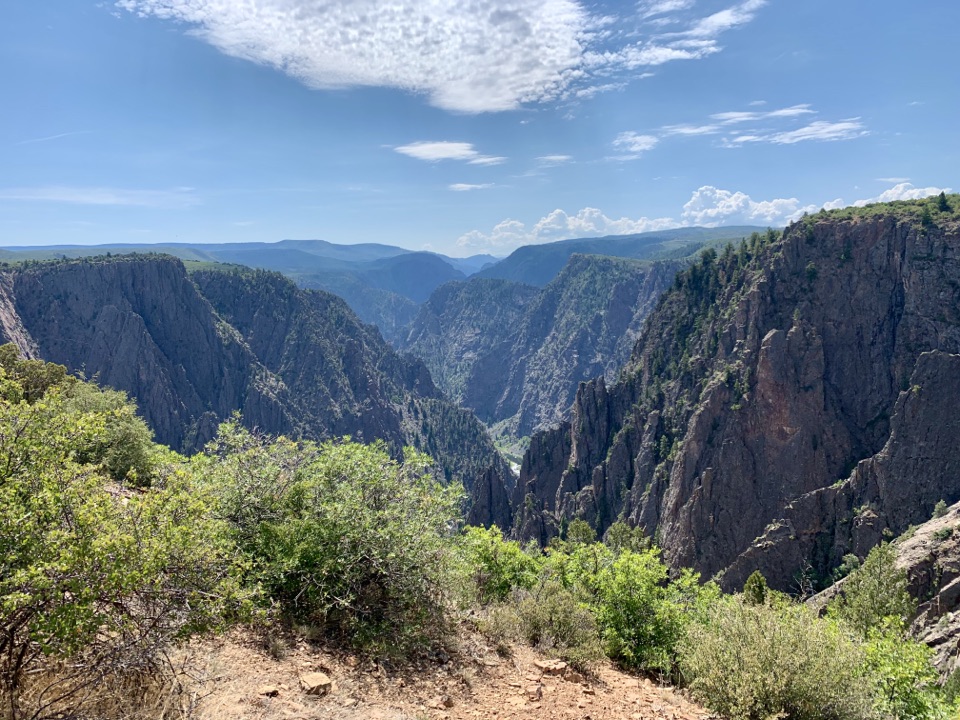
Parking
Follow Falcon Road and Peach Valley Road to Chukar Road, then continue seven miles to Chukar Trailhead. Parking is at the recreation site; the last half of Chukar Road requires high-clearance 4WD.
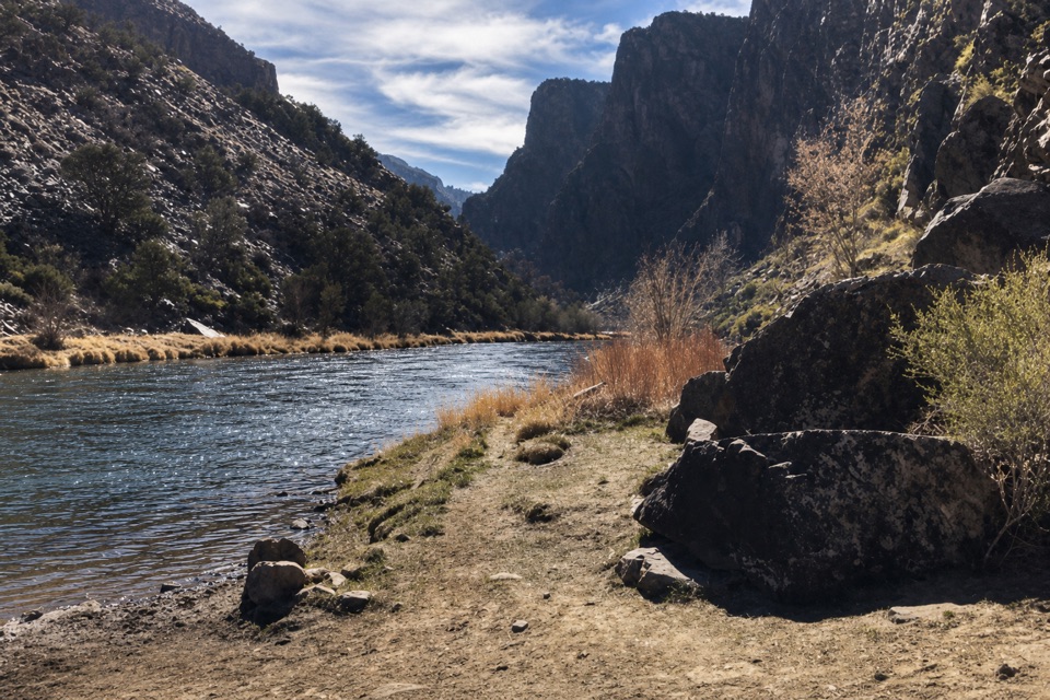
Black Canyon of the Gunnison National Park, CO
A steep switchback descent to the Gunnison River
Overview
Map & elevation
Plan your hike

The highest, rockiest slopes around here are a summer buffet for grizzly bears.
Black Canyon of the Gunnison Tour Guide
Parkwolf is a GPS audio tour guide for Black Canyon of the Gunnison National Park. As you drive, it chimes in with what’s ahead: hidden gems, upcoming stops, history, geology, and wildlife, right through your car’s speakers.
“Fantastic app with many points of information… It’s great to just turn on while you’re driving and it gives you an audio tour of the national Park. We love it!!!!”


Trail guide
Chukar is a steep out-and-back from Chukar Trailhead to the Gunnison River in Gunnison Gorge. The named trail runs about 1.1 miles down to the water; return on the same path for about 2.2 miles total and 560 feet of climbing. Allow around an hour and a half. A longer 2.8-mile round-trip figure is also published, but its extra distance is not explained; this description follows the designated Chukar Trail only.
You need a self-issued Gunnison Gorge Wilderness permit from the fee station. The trailhead is reached by a seven-mile drive on Chukar Road; the final half requires a high-clearance 4WD vehicle. This is a remote BLM access, not a walk inside Black Canyon of the Gunnison National Park.
The descent is steep and has few level stretches. A gorge overlook near the top gives way to a sandstone ridge, switchbacks and a wash that leads through a narrow canyon toward the river. The return climb is the effort to plan for.
The trail reaches the Gunnison just downstream of the national park boundary, near the Red Rock Canyon confluence. This is also the main boating access to a 14-mile Class III/IV stretch through the wilderness gorge. The high overlook and the riverbank give you two different views of the canyon; the river-end photo shows the water and canyon, not the trail tread.
The recreation site has parking, four campsites, shade structures, fire rings, picnic tables, a vault toilet and an information kiosk. No food or potable-water source is listed there.
Wildlife
 49 sightingsBighorn SheepMost seen around 7 AMSighting map
 67 sightingsMule DeerMost seen around 7 AMSighting map
 11 sightingsRed-tailed HawkMost seen around 10 AMSighting map
 10 sightingsCooper's HawkMost seen around 7 AMSighting map
 66 sightingsCollared LizardMost seen around 11 AMSighting map
 163 sightingsFence LizardMost seen around 10 AMSighting map
Sighting maps show where each species has been reported across Black Canyon of the Gunnison. Wildlife moves, so no sighting is guaranteed.
Keep exploring
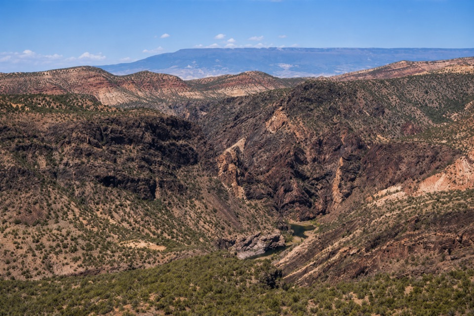 ModerateChukar Geologic Trail1.5 mi · 1.5 hr · 0.3 mi awayFaint old-road climb ends at a canyon-rim overlook.
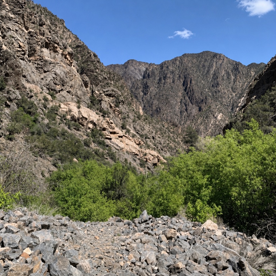 ChallengingRed Rock Canyon Route7 mi · 5.5 hr · 5 mi awayA permit-only descent through a rugged creek canyon to the river.
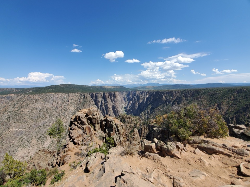 ModerateWarner Point Trail1.6 mi · 1 hr · 6.2 mi awayThe river is a long way below this short rim walk.
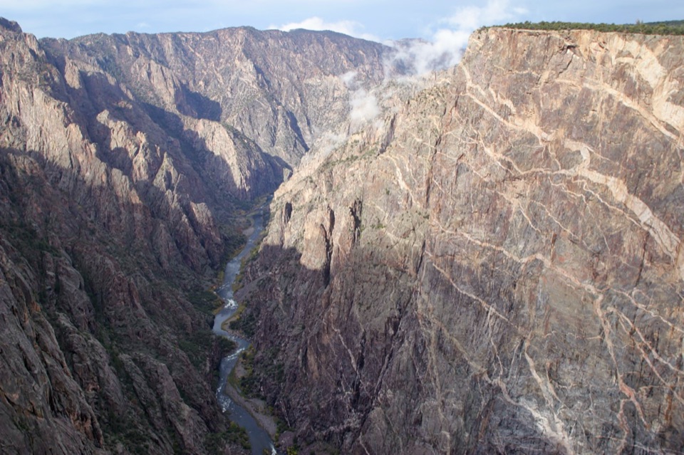 EasyCedar Point Nature Trail0.4 mi · 30 min · 6.7 mi awayPlant signs on the way to two canyon overlooks.
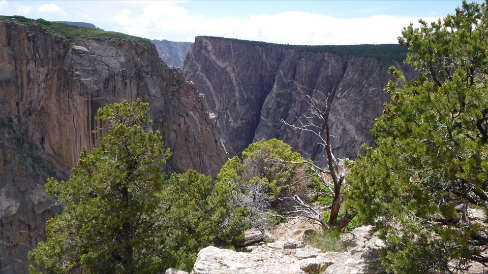 ModerateChasm View Nature Trail0.5 mi · 30 min · 7.1 mi awayA short woodland loop reaches two very different canyon views.
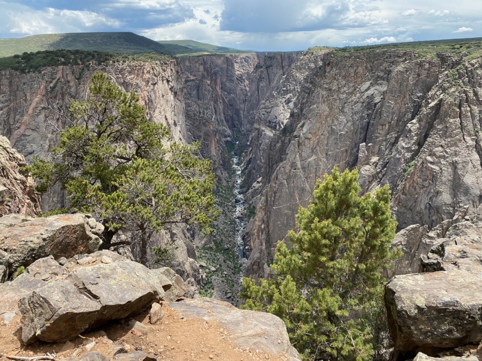 ModerateNorth Vista Trail (to Exclamation Point)2.9 mi · 1.8 hr · 7.3 mi awaySage and juniper lead to an unrailed view of the river bend.
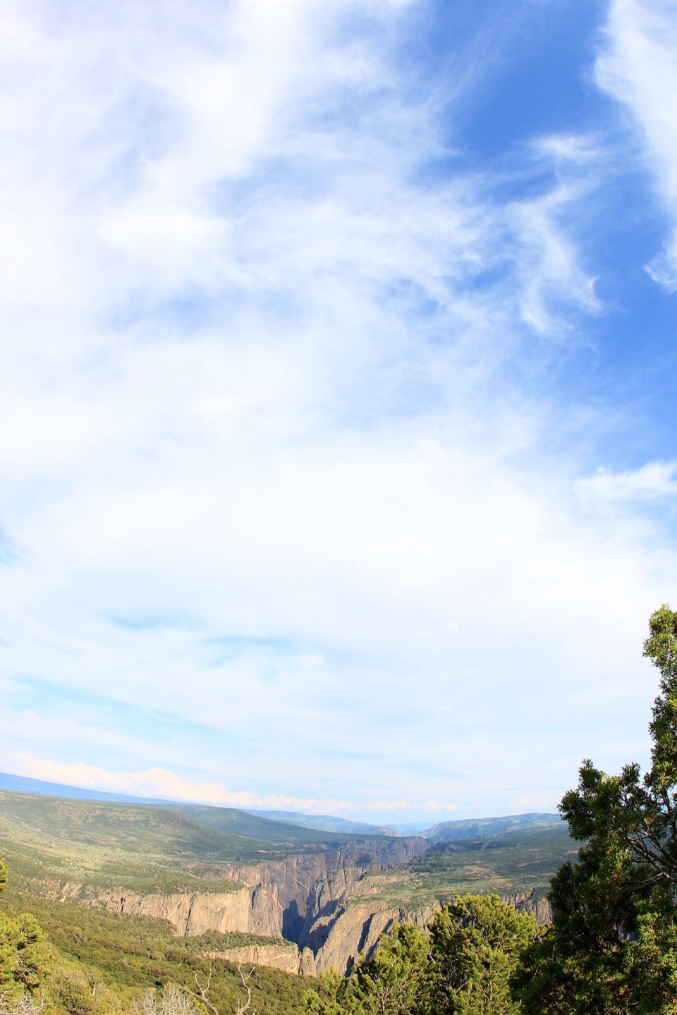 ChallengingNorth Vista Trail to Green Mountain6.4 mi · 3.5 hr · 7.3 mi awayA long climb earns a canyon panorama and views of four ranges.
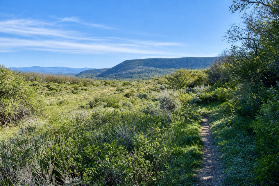 ModerateUplands Trail0.9 mi · 36 min · 8.9 mi awayA short upland connector, not a canyon-rim walk.Sight · 5.6 mi awayGreen MountainGreen Mountain's long North Rim walk ends in a broad canyon panorama.
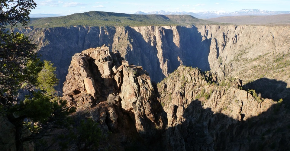 Sight · 5.6 mi awayWarner PointA canyon-and-river view after a 1.6-mile round-trip hike.
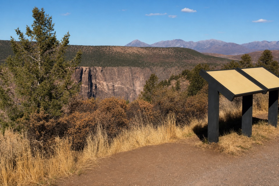 Sight · 6.2 mi awayHigh Point OverlookThe last drive-up stop pairs canyon views with a picnic area.
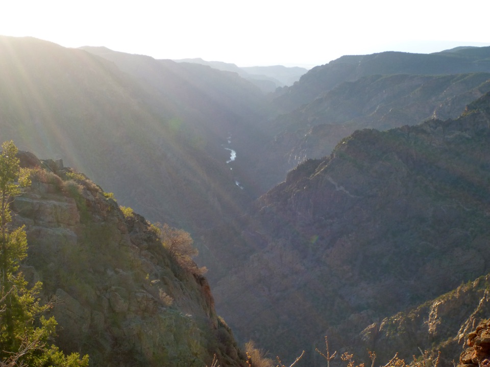 Sight · 6.3 mi awaySunset View OverlookAn easy overlook and picnic area on the South Rim Drive.
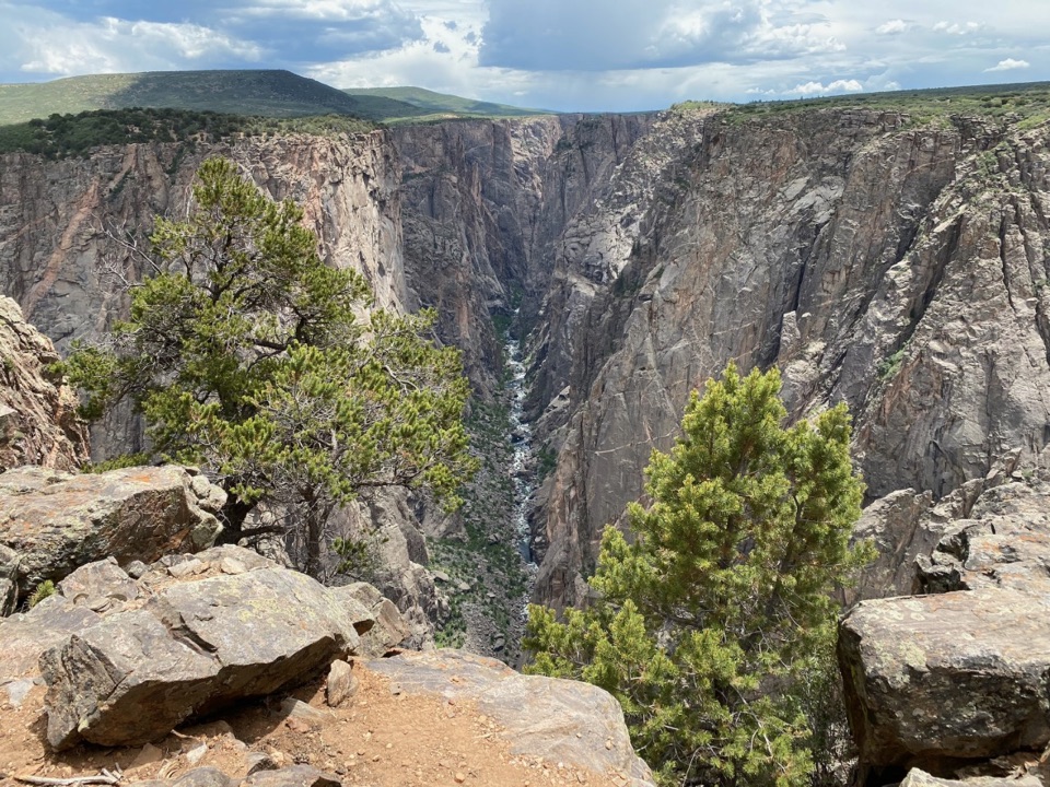 Sight · 6.5 mi awayExclamation PointA 1.6-mile hike each way to a close canyon view.
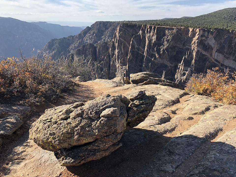 Sight · 6.5 mi awayDragon Point OverlookA west-facing overlook that makes sunset a smart time to stop.Sight · 6.6 mi awayCedar Point OverlookTwo rim stops frame the Gunnison River and Painted Wall.
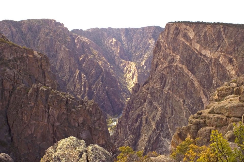 Sight · 6.7 mi awayPainted Wall OverlookA 2,250-foot cliff marked by pale pegmatite veins.
Parkwolf’s Black Canyon of the Gunnison ranking

The audio tour guide for the drive, plus offline maps, trails, and wildlife heatmaps for when the signal drops.