Narrows Overlook in Black Canyon of the Gunnison National Park

Sight · Black Canyon of the Gunnison National Park

Narrows Overlook

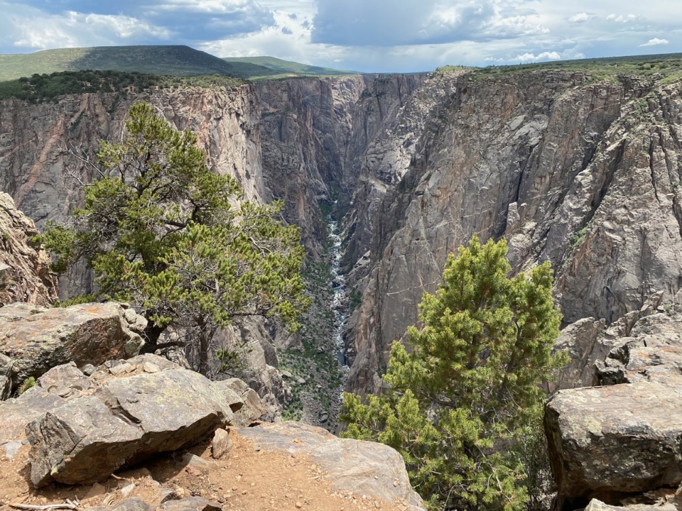
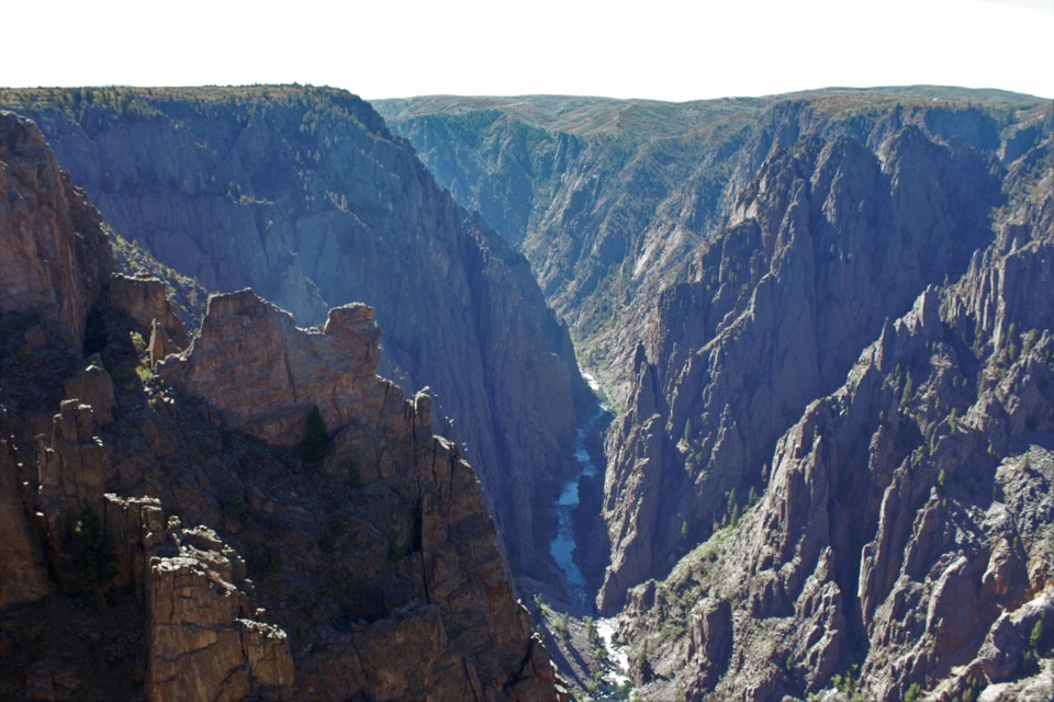
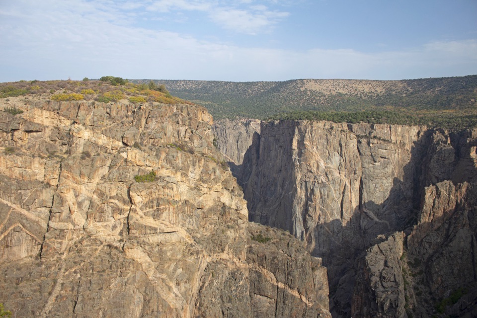
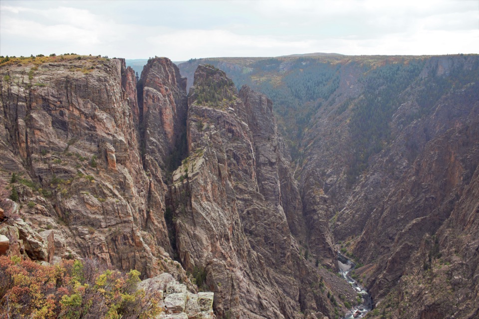
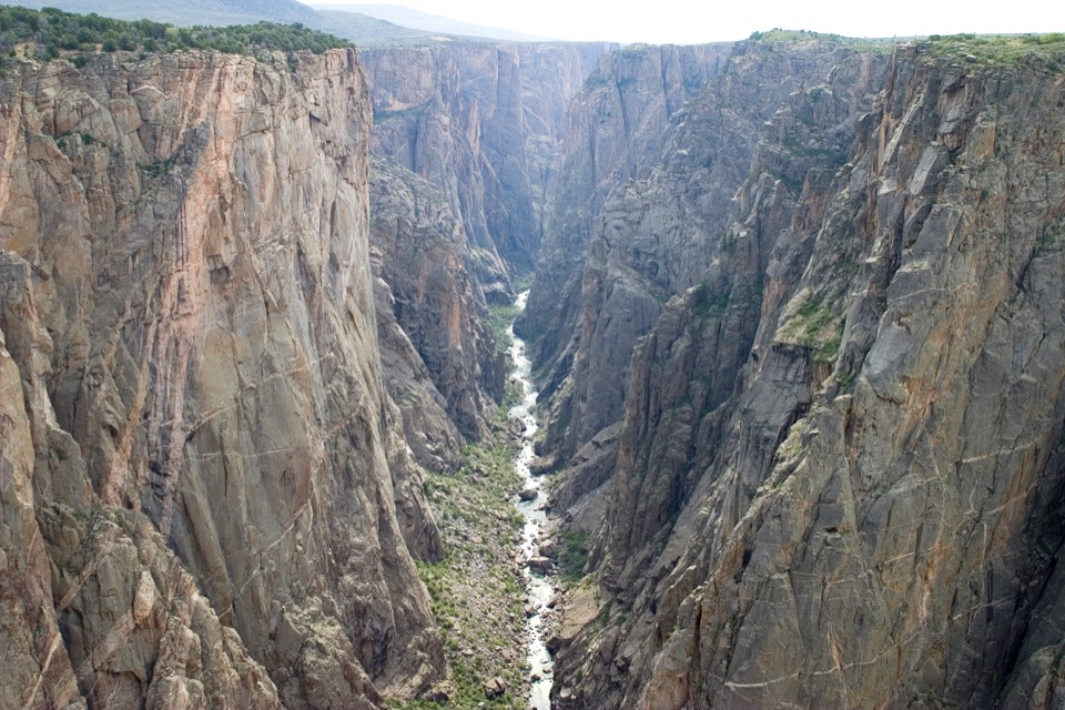
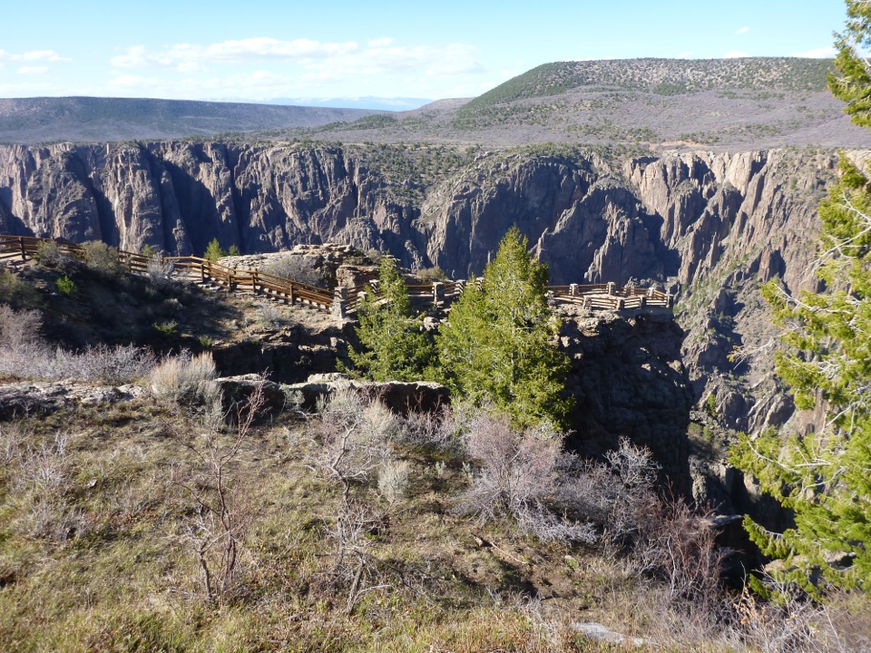
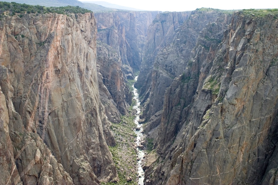
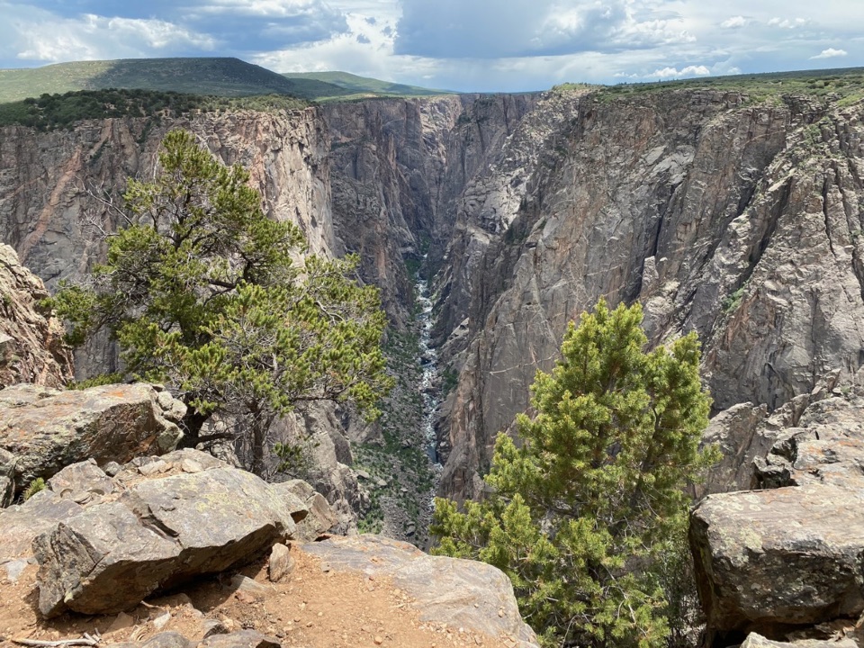
See where the canyon narrows to 40 feet at the river.

Photo: National Park Service
Type
Sight
Nearest trail
0.7 mi
Audio stories
13 nearby
  • Scenic viewpoint
  • Parking

Hear the audio tour

Narrows and Balanced Rock Overlooks

Overview

About Narrows Overlook

Why stop

  • An easy short loop to a defining canyon view.

Heads up

  • Reaching it requires a longer gravel-road North Rim outing.

Map

Where it is

Loading the Black Canyon of the Gunnison map
Full map
SightNarrows Overlook38.57744, -107.69923
Keep this map with you offline in the Parkwolf app

Plan your stop

Before you go

3 active Black Canyon of the Gunnison alerts

  • ClosureSouth Rim Campground Partially Closed After 2025 FireSouth Rim Campground is open with only 25 non-electric sites available; some campground areas remain closed to all access because of effects from the 2025 South Rim Fire and the resulting safety and…Official details
  • ClosureTomichi Route Closed; Gunnison Route Has Burned-Area HazardsDo not enter the closed Tomichi Route or other closed or burned areas; the Gunnison Route remains hazardous because of effects from the 2025 South Rim Fire.Official details
See all 3 alerts
A park ranger sits on a dash-mounted phone, talking, as Parkwolf’s Tour Guide plays “Army Cutworm Moths: A Grizzly Bear Buffet” on Grand Loop Road below Dunraven Pass in Yellowstone
Parkwolf Tour GuideThe highest, rockiest slopes around here are a summer buffet for grizzly bears.

Black Canyon of the Gunnison Tour Guide

Your drive to Narrows Overlook, narrated.

Parkwolf is a GPS audio tour guide for Black Canyon of the Gunnison National Park. As you drive, it chimes in with what’s ahead: hidden gems, upcoming stops, history, geology, and wildlife, right through your car’s speakers.

Recorded for this place

Narrows and Balanced Rock Overlooks
0:00 / 0:34
“You're coming up on the Narrows and Balanced Rock overlooks on the North Rim. At the Narrows, the canyon squeezes to just forty feet across at river level, far below the viewpoint.”

Plays as you drive up to Narrows Overlook in the Parkwolf Black Canyon of the Gunnison Tour Guide.

More stories near here in the app

  • Big Island Overlook
  • Cross Fissures Overlook
  • North Vista Trail to Exclamation Point
  • North Chasm View from the Campground
  • 23 audio storiesacross Black Canyon of the Gunnison’s roads, triggered by GPS as you drive
  • Wildlife heatmapsfor Bighorn Sheep, Mule Deer, Red-tailed Hawk, and 13 more
  • Works offlinemaps, 13 trails, 29 places, and audio download before you lose signal
  • CarPlay readysimple controls built for the drive
★★★★★
“Fantastic app with many points of information… It’s great to just turn on while you’re driving and it gives you an audio tour of the national Park. We love it!!!!”
JMJamesApp Store review
Download Parkwolf on the App StoreGet Parkwolf on Google Play

4.7 from 8,600+ ratings

Guide

More about Narrows Overlook

A short loop to the canyon's narrowest pointNarrows Overlook is a viewpoint off North Rim Drive in Black Canyon of the Gunnison National…

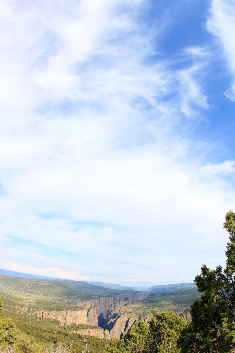
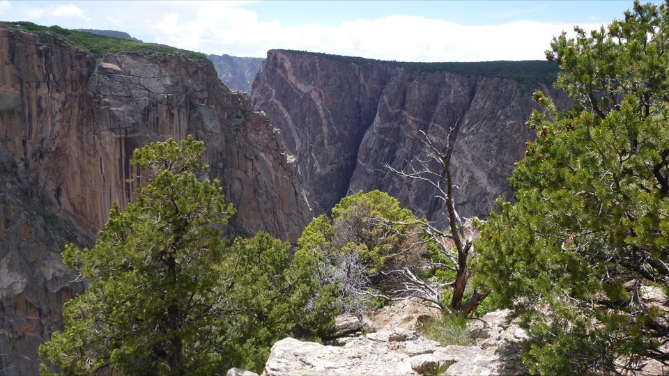
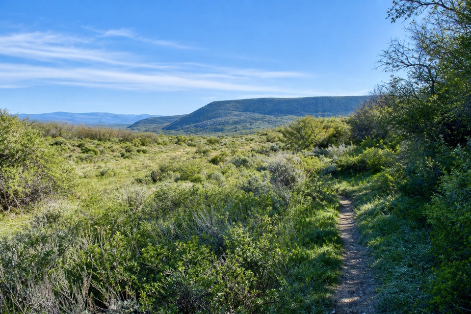
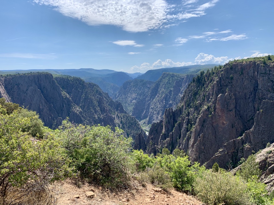
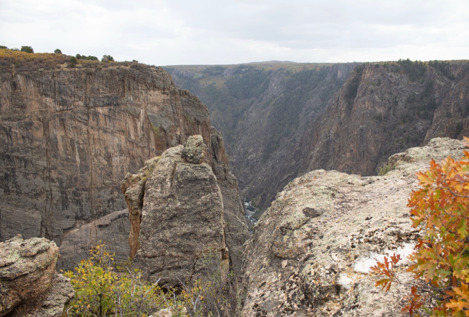
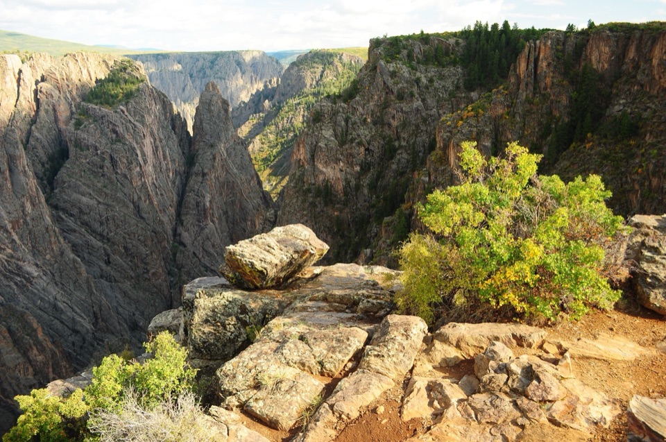
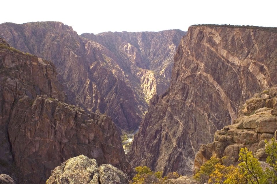
Narrows Overlook is a viewpoint off North Rim Drive in Black Canyon of the Gunnison National Park. A short, unpaved loop starts and ends at the parking area. It opens onto the narrowest part of the gorge, where the Gunnison is just 40 feet across at the river and the canyon rises 1,725 feet to the rim. If you're making the North Rim drive, this is a worthwhile quick stop for the scale of the place. Allow about 15 minutes for the roughly 0.3-mile loop.

Give the North Rim its own timeFrom CO 92, turn onto Black Canyon Road about three miles south of Crawford; the final seven…

From CO 92, turn onto Black Canyon Road about three miles south of Crawford; the final seven miles and the North Rim Drive are gravel. The North Rim road serves six overlooks, and a full drive takes about two to three hours. That's a long approach for a 15-minute stop, so build it into a broader North Rim visit. The roads aren't plowed and close to vehicles in winter and early spring. Services are limited: summer water fill-ups are at the campground and ranger station, away from this overlook, and there is no North Rim water in spring, fall, or winter.


A canyon cut very slowlyThe walls expose rock nearly two billion years old.

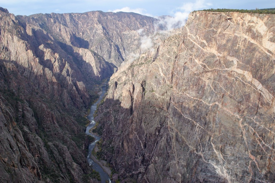
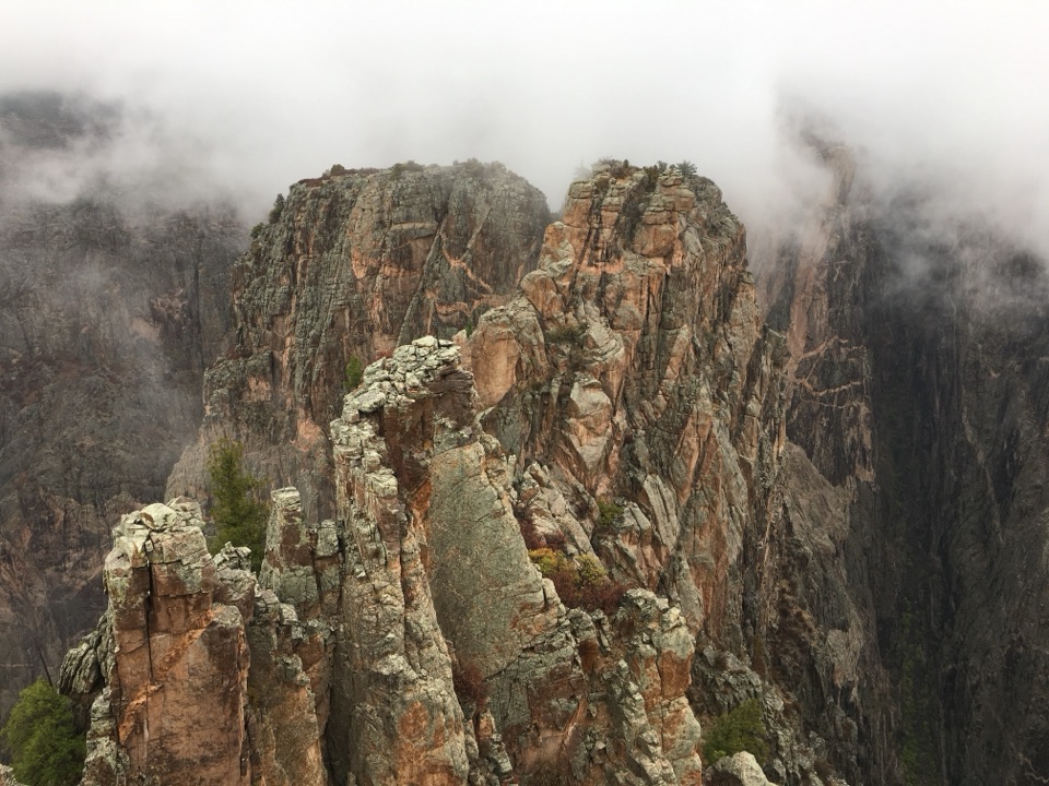
The walls expose rock nearly two billion years old. Heat and pressure changed buried deposits into schist and gneiss; later, magma pushed into those rocks and cooled into the colored igneous bands you can see in the canyon. About two million years ago, the Gunnison started cutting into this hard basement rock. The river still erodes it at roughly an inch per century. Here that slow work has left a gorge 1,725 feet deep and only 40 feet wide at river level.

Keep the river in the frameStart with a wide view from the rim, then keep a glimpse of the Gunnison low in the frame.

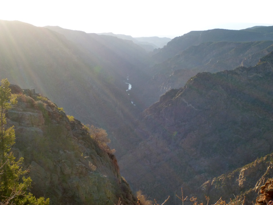
Start with a wide view from the rim, then keep a glimpse of the Gunnison low in the frame. The small ribbon of water gives the walls their scale and makes the canyon's narrowness easier to see in a photo.

Wildlife

Wildlife in Black Canyon of the Gunnison

All Black Canyon of the Gunnison wildlife maps

Sighting maps show where each species has been reported across Black Canyon of the Gunnison. Wildlife moves, so no sighting is guaranteed.

Keep exploring

Near Narrows Overlook

See it all on the map

Trails nearby

More stops nearby

Parkwolf’s Black Canyon of the Gunnison ranking

Top sights in Black Canyon of the Gunnison

All 29 places
  1. 1Painted Wall OverlookSight
  2. 2Gunnison Point OverlookSight
  3. 3Chasm View Overlook (South Rim)Sight
  4. 4Exclamation PointSight
  5. 5Sunset View OverlookSight
  6. 6North Chasm ViewSight

Take Parkwolf to Black Canyon of the Gunnison.

The audio tour guide for the drive, plus offline maps, trails, and wildlife heatmaps for when the signal drops.

4.7 from 8,600+ ratings

Download Parkwolf on the App StoreGet Parkwolf on Google Play