Parking
From Blackheath, follow Hat Hill Road, which becomes Perrys Lookdown Road. The final access road is unsealed and can become boggy after rain; parking is available at Perrys Lookdown.
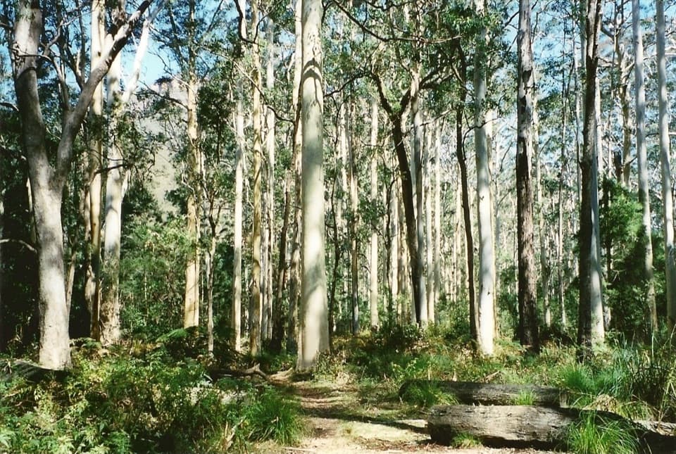
Blue Mountains National Park, NSW
Descend steeply to a forest bushwalkers saved from logging.
Overview
Map & elevation
Plan your hike

The highest, rockiest slopes around here are a summer buffet for grizzly bears.
Blue Mountains Tour Guide
Parkwolf is a GPS audio tour guide for Blue Mountains National Park. As you drive, it chimes in with what’s ahead: hidden gems, upcoming stops, history, geology, and wildlife, right through your car’s speakers.
See the Blue Mountains audio tourRecorded for this trailhead
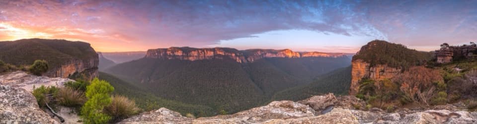
Perrys Lookdown and Blue Gum Forest“Perrys Lookdown is coming up, where a short staircase gives you a view across Grose Valley to Mount Banks and the forest below. I'd stop for the panorama even if you aren't planning a hike.”
Plays as you drive up to this trailhead in the Parkwolf Blue Mountains Tour Guide.
More stories near here in the app
“Fantastic app with many points of information… It’s great to just turn on while you’re driving and it gives you an audio tour of the national Park. We love it!!!!”


Trail guide
This is about a 5.3 km return walk from Perrys Lookdown down to the edge of Blue Gum Forest, then back up the same route. The mapped line is 2.67 km each way; some published summaries list 4 km, so plan for the longer mapped distance. Allow 3 to 4 hours. It is a Grade 4 walk for experienced bushwalkers, with a hard climb on the way back. The mapped route ends at the forest edge; Acacia Flat and the Grose River are a separate continuation.
Pause at Perrys Lookdown for the wide view across Grose Valley, Mount Banks and the blue-gum canopy below. The track then leaves the ridge, passes a large swamp and drops down the cliff line. Expect a long, steep run of uneven steps on rough ground. The main effort comes on the return, when you climb those steps back to the lookout. For a photo, include both the canopy below and Mount Banks across the valley so the view has scale.
The payoff is a stand of tall Deane’s blue gums on the valley floor. Bushwalkers pooled money in the 1930s to save the forest from logging, making this more than a scenic turn-around. Listen for bell miners among the trees; red-headed gang-gangs and yellow-tailed black cockatoos are also noted around the walk.
From Blackheath, Hat Hill Road becomes Perrys Lookdown Road; the final access road is unsealed and can become boggy after rain. Parking is available at Perrys Lookdown. Bring your own drinking water, a topographic map and a compass or GPS; a personal locator beacon is recommended. Pets and domestic animals are not allowed, except certified assistance animals. If the steep descent is more than you want, the lookout itself gives you the valley view without the climb.
Wildlife
 58 sightingsGrey KangarooMost seen around 6 AMSighting map
 43 sightingsWombatMost seen around 6 PMSighting map
 18 sightingsRed-necked WallabyMost seen around 6 PMSighting map
 53 sightingsSwamp WallabyMost seen around 7 AMSighting map
 23 sightingsBrushtail PossumMost seen around 7 PMSighting map
 30 sightingsRing-tailed PossumMost seen around 7 PMSighting map
Sighting maps show where each species has been reported across Blue Mountains. Wildlife moves, so no sighting is guaranteed.
Keep exploring
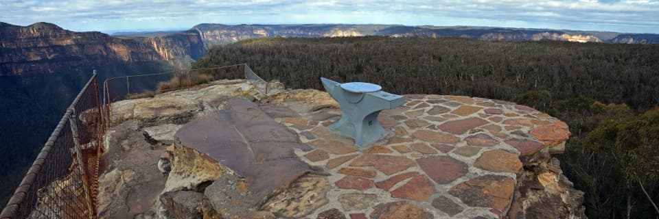 EasyAnvil Rock and Wind Eroded Cave Walk0.7 km · 24 min · 0.9 km awayTwo short spurs pair a valley lookout with a sculpted cave.
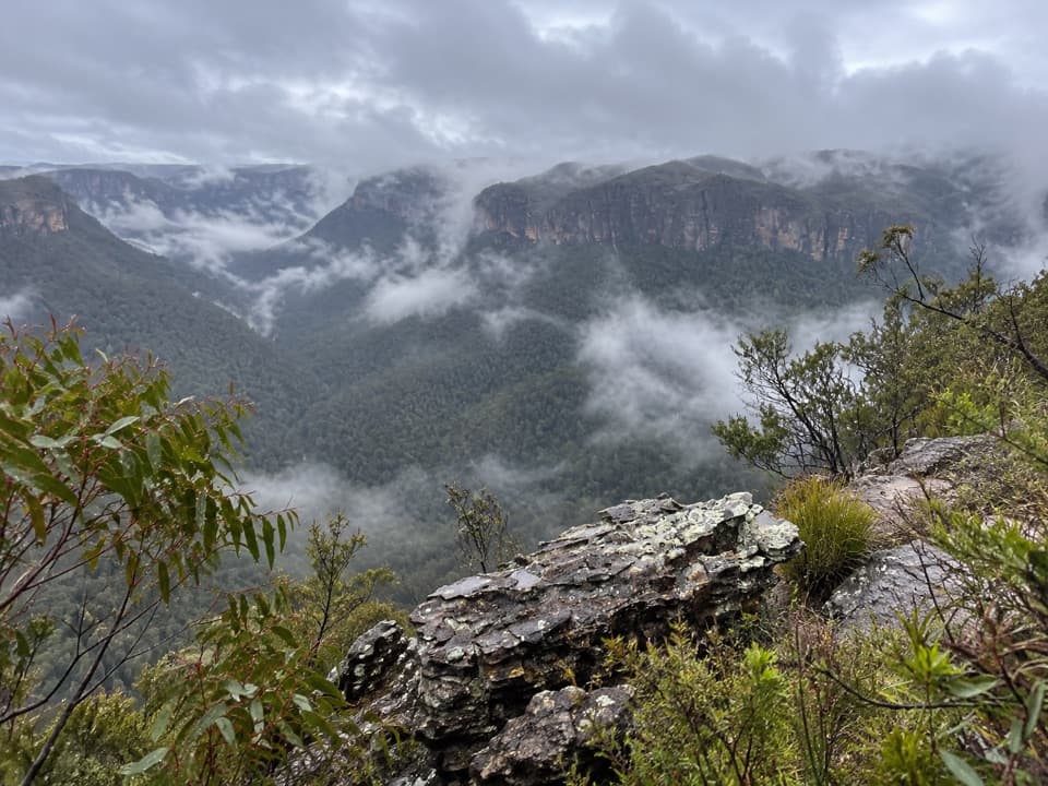 ModerateHat Hill to Bald Head6.8 km · 2.8 hr · 2.2 km awayA rugged ridge walk to a wide Grose Valley view.
 ModerateMount Banks Road cycle route10 km · 4 hr · 2.8 km awayAn unsealed ridge road ends above the Grose Valley
 ModerateMount Banks Summit walk2.4 km · 2.5 hr · 2.8 km awayOpen ridge views make the steep climb to a wooded summit worthwhile.
 EasyRigby Hill walking track1.2 km · 1 hr · 3.3 km awayA short ridge walk ends above the Grose Valley.
 ChallengingPierces Pass to Grose River4.9 km · 3 hr · 3.3 km awayA steep track to the river, then every step back up.
 ChallengingPierces Pass to Blue Gum Forest walking track16 km · 7 hr · 3.3 km awayA steep Grose Valley descent to rainforest, river and Blue Gum Forest.
 EasyWalls Lookout Track2.5 km · 1 hr · 3.7 km awayA short out-and-back to big Grose Valley views.
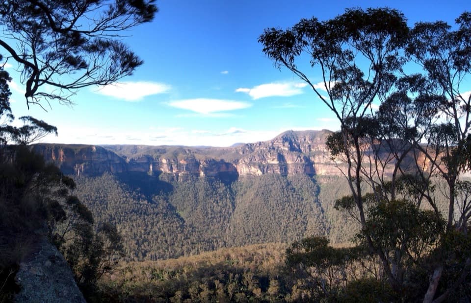 Sight · 0.1 km awayPerrys LookdownBig Grose Valley views, with the Blue Gum Forest far below.
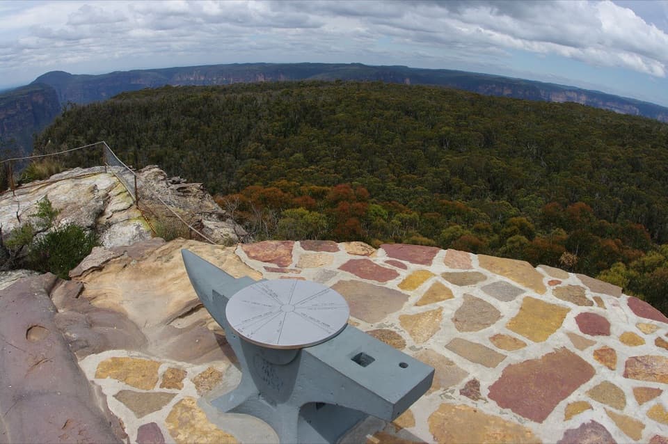 Sight · 0.7 km awayAnvil RockA real anvil, a real story, and a wide Grose Valley view.
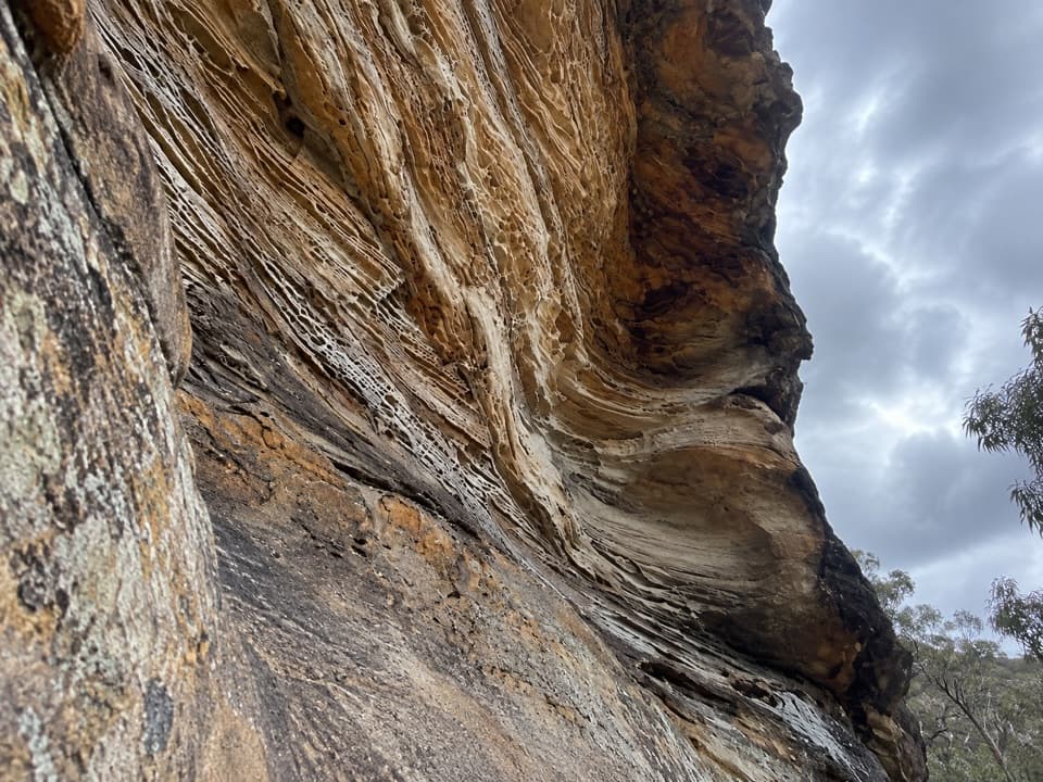 Sight · 1 km awayWind Eroded CaveA short stop for wave-shaped sandstone and a Grose Gorge view.Sight · 1.6 km awayBlue Gum ForestWalk into the grove bushwalkers saved from the axe in 1931.
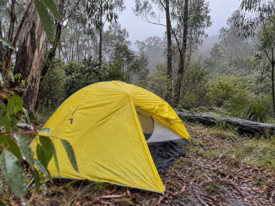 Campground · 1.9 km awayAcacia Flat campgroundA remote tent camp beside Blue Gum Forest.
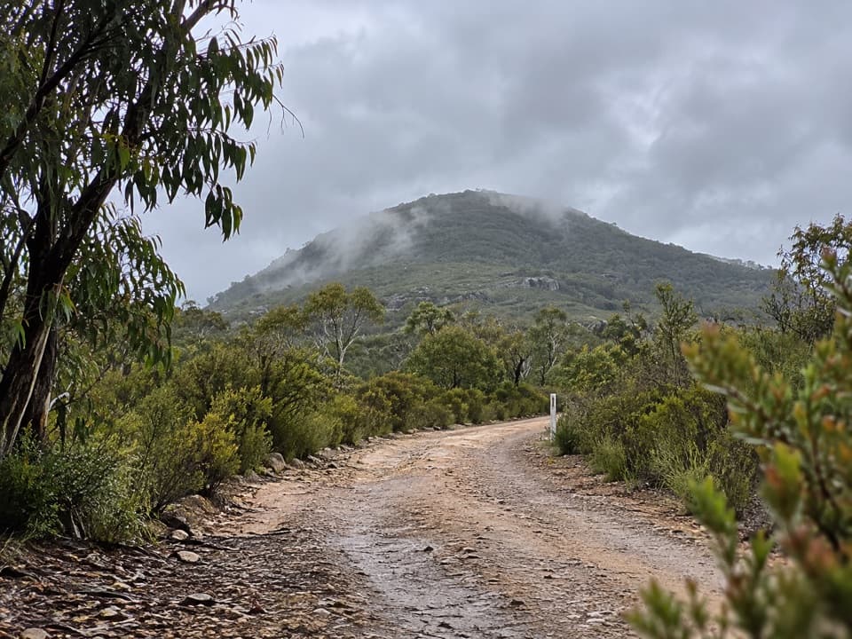 Sight · 2.6 km awayMount BanksA steep climb to a double-humped summit above Grose Wilderness.
 Sight · 2.7 km awayWalls LookoutA short rocky walk opens onto a huge Grose Valley panorama.
 Picnic area · 2.8 km awayMount Banks picnic areaQuiet tables at Mount Banks' base, with a steep summit walk beyond.
Parkwolf’s Blue Mountains ranking

The audio tour guide for the drive, plus offline maps, trails, and wildlife heatmaps for when the signal drops.





