Parking
Start at Pierces Pass Picnic Area, reached from Bells Line of Road via Pierces Pass Road. Parking is at the picnic area where the track begins.

Blue Mountains National Park, NSW
A steep track to the river, then every step back up.
Overview
Pierces Pass to Grose River is a 4.9 km return walk from Pierces Pass Picnic Area to a crossing on the Grose River. It follows the opening stretch of the longer Blue Gum Forest track, then turns back at the river. Allow about three hours with stops. This is a short route with a hard climb: the river is roughly 460 m below the start, and you have to climb back out on the same track.
 Parkwolf’s verdictIs this the hike for you?
Map & elevation
Plan your hike

The highest, rockiest slopes around here are a summer buffet for grizzly bears.
Blue Mountains Tour Guide
Parkwolf is a GPS audio tour guide for Blue Mountains National Park. As you drive, it chimes in with what’s ahead: hidden gems, upcoming stops, history, geology, and wildlife, right through your car’s speakers.
See the Blue Mountains audio tourRecorded for this trailhead
Pierces Pass and the Rigby Hill Walk“You're nearing Pierces Pass picnic area, where I'd choose the Rigby Hill walk for a valley view without a long descent. It's one point two kilometres return, about an hour, with a gentle climb, steps and uneven rock.”
Plays as you drive up to this trailhead in the Parkwolf Blue Mountains Tour Guide.
More stories near here in the app
“Fantastic app with many points of information… It’s great to just turn on while you’re driving and it gives you an audio tour of the national Park. We love it!!!!”


Trail guide
The track enters bush at the picnic area and drops steeply over steps and dirt for the first 250 m, then eases under shady gum trees. A first valley glimpse opens after about 600 m. A signed spur leads down into the cooler rainforest gully at Pierces Creek; it is brief, but can be muddy and slippery after rain. Back on the main track, you pass a small waterfall before the forest opens into drier country, with sandstone cliffs and valley views appearing between trees.
Near the bottom, the track becomes rockier and passes steps and an eroded gully before reaching the river crossing. A deep pool is about 70 m downstream; getting to the rocks beside it is an optional, slippery scramble and adds distance. Treat the crossing as the turnaround for this 4.9 km route. Following the river on toward Blue Gum Forest is a much longer walk, and exploring more pools adds extra walking too.
The return retraces the same track uphill. There are some gentler stretches, but the steps and steep climb make the ascent the hard part of the day. Start with enough energy left for it. Pets are not allowed on the national-park track.
Wildlife
 58 sightingsGrey KangarooMost seen around 6 AMSighting map
 43 sightingsWombatMost seen around 6 PMSighting map
 18 sightingsRed-necked WallabyMost seen around 6 PMSighting map
 53 sightingsSwamp WallabyMost seen around 7 AMSighting map
 23 sightingsBrushtail PossumMost seen around 7 PMSighting map
 30 sightingsRing-tailed PossumMost seen around 7 PMSighting map
Sighting maps show where each species has been reported across Blue Mountains. Wildlife moves, so no sighting is guaranteed.
Keep exploring
 EasyRigby Hill walking track1.2 km · 1 hr · At the trailheadA short ridge walk ends above the Grose Valley.
 ChallengingPierces Pass to Blue Gum Forest walking track16 km · 7 hr · At the trailheadA steep Grose Valley descent to rainforest, river and Blue Gum Forest.
 EasyWalls Lookout Track2.5 km · 1 hr · 0.8 km awayA short out-and-back to big Grose Valley views.
 ModerateMount Banks Road cycle route10 km · 4 hr · 2.7 km awayAn unsealed ridge road ends above the Grose Valley
 ModerateMount Banks Summit walk2.4 km · 2.5 hr · 2.7 km awayOpen ridge views make the steep climb to a wooded summit worthwhile.
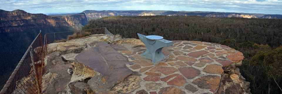 EasyAnvil Rock and Wind Eroded Cave Walk0.7 km · 24 min · 2.8 km awayTwo short spurs pair a valley lookout with a sculpted cave.
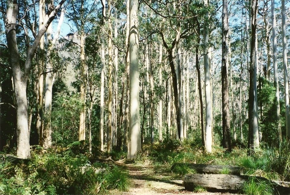 ChallengingPerrys Lookdown to Blue Gum Forest walking track5.3 km · 3.5 hr · 3.3 km awayDescend steeply to a forest bushwalkers saved from logging.
 ChallengingVictoria Falls walking track4 km · 2.3 hr · 4.3 km awayA steep 4 km return to a waterfall in the Grose Valley.
 Picnic area · At the trailheadPierces Pass picnic areaTwo very different walks start at this small Grose Valley picnic stop.
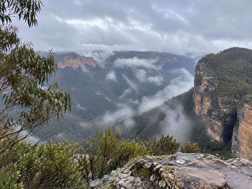 Sight · 0.5 km awayRigby Hill lookoutA short ridge walk to a broad Grose Valley panorama.
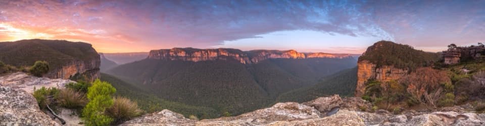 Sight · 0.6 km awayWalls LookoutA short rocky walk opens onto a huge Grose Valley panorama.
 Picnic area · 2.7 km awayMount Banks picnic areaQuiet tables at Mount Banks' base, with a steep summit walk beyond.
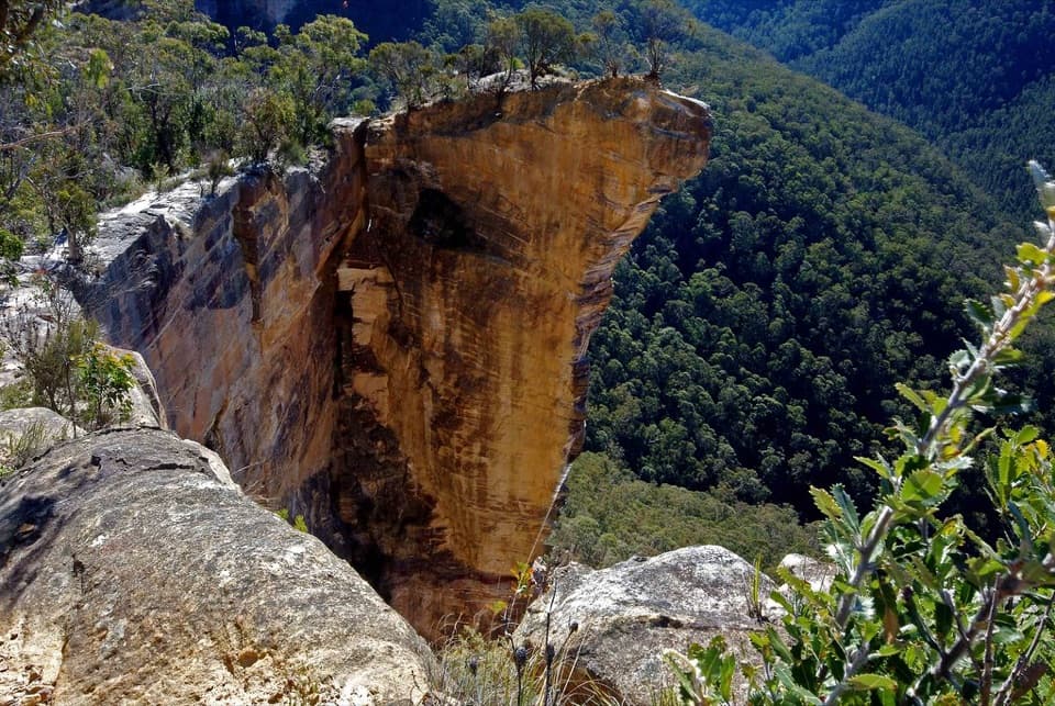 Sight · 2.7 km awayBaltzer LookoutA ridge walk ends at an unfenced view over the Grose Valley.
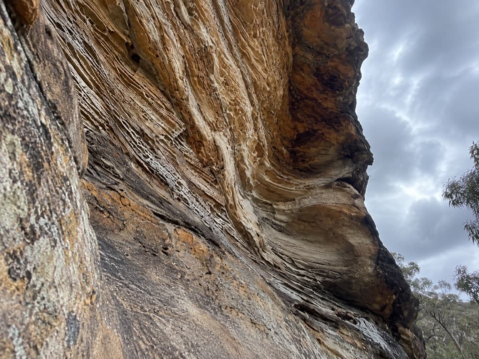 Sight · 2.8 km awayWind Eroded CaveA short stop for wave-shaped sandstone and a Grose Gorge view.
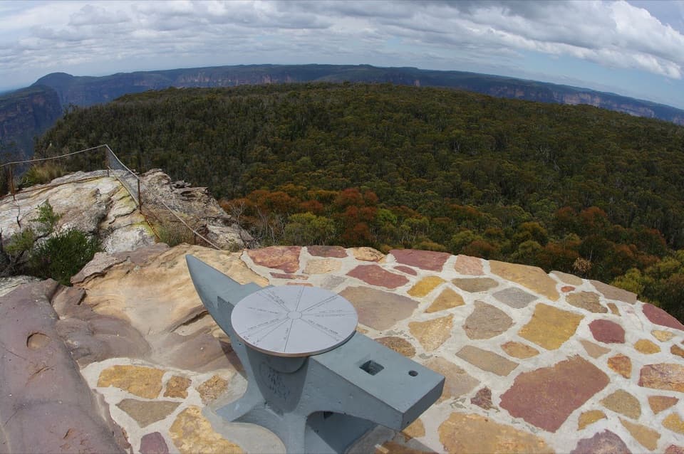 Sight · 2.8 km awayAnvil RockA real anvil, a real story, and a wide Grose Valley view.
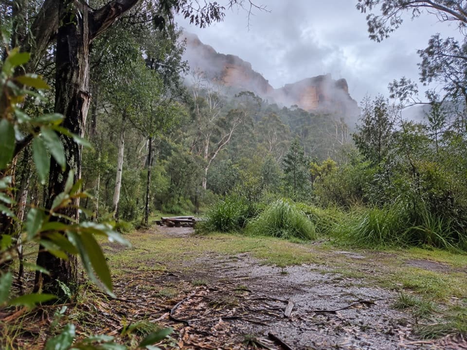 Campground · 3.1 km awayBurra Korain Flat campgroundListen for cockatoos as evening settles over the remote Grose Valley.
Parkwolf’s Blue Mountains ranking
The audio tour guide for the drive, plus offline maps, trails, and wildlife heatmaps for when the signal drops.





