Pros & cons
PROS
- Wide, high-elevation mountain views near Waterrock Knob
- Starting point for a rugged hike to Browning Knob and a 1983 plane wreck
- Lovely sunrise and sunset vantage
CONS
- No restrooms, water, or services on-site
- Unmarked, muddy, and steep trail; easy to miss turnoffs to the wreck
Overview
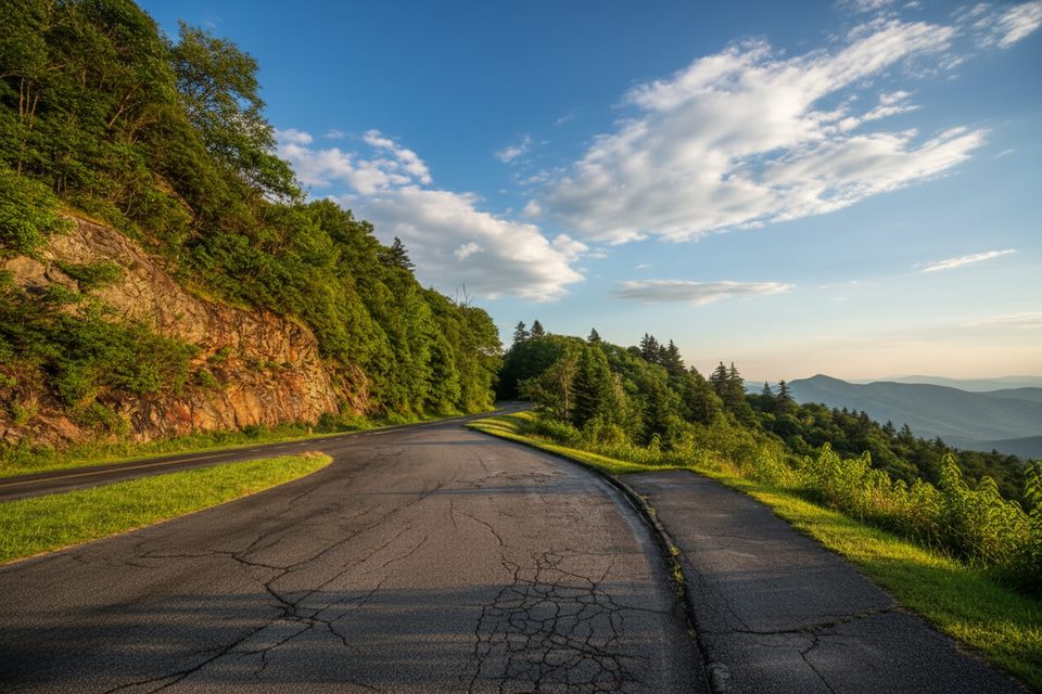
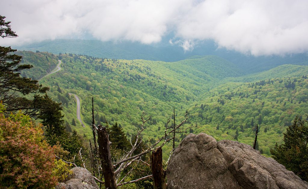
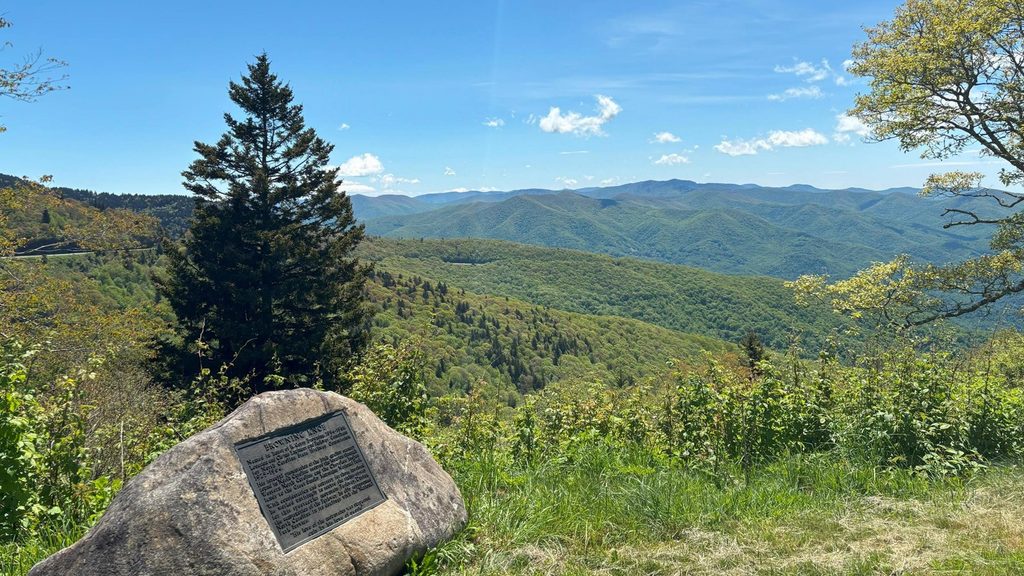
Tucked just off the Parkway at MP 451.2, Browning Knob Overlook dishes out big Great Balsam Mountain views without the Waterrock Knob crowds. It’s a classic pull-off for a quick wow-moment, and a launching pad for hikers chasing something more offbeat.
Why Stop Here
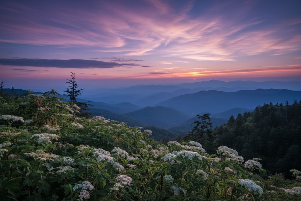
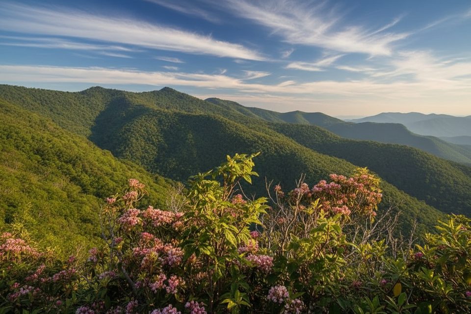
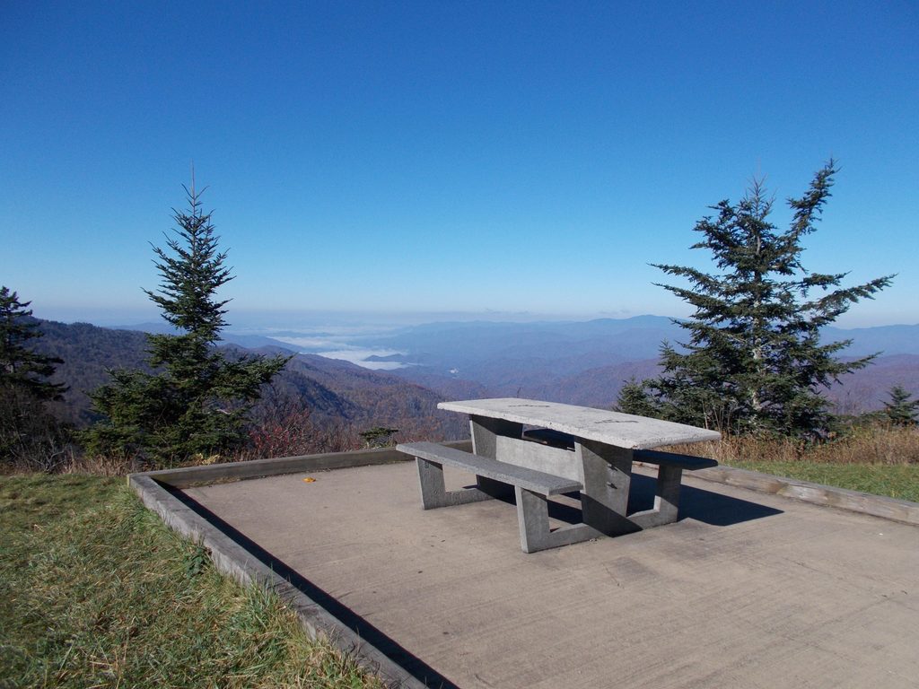
The overlook sits at lofty elevation, so on clear days you’ll get layered ridgelines for miles. It’s a natural add-on if you’re already visiting Waterrock Knob—close enough to pair, different enough to feel quieter and more laid-back.
The Hike & Plane Wreck
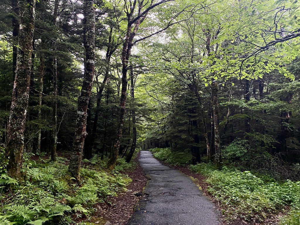
An unofficial, unmaintained path leaves from the overlook toward Browning Knob and a 1983 small-plane crash site. Expect steep pitches, roots, mud, and a few braided social paths that can confuse first-timers. Patience and good navigation help. Some hikers also reach Browning Knob via Waterrock Knob and then continue on a rough connector—pick the route that matches your legs and comfort with unmarked trails.
Nature & Setting
You’re in high-elevation spruce-fir country with seasonal wildflowers and plenty of birdsong. Deer and turkey are common; black bear is possible but less frequent. On migration days, keep an eye out for raptors riding the updrafts.
Need to Know
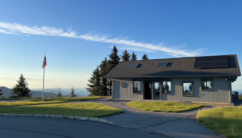
There are no facilities here. The closest bathrooms are at Waterrock Knob Visitor Center up the road. Weather swings fast at this elevation—pack layers and be ready for wet, slick footing after rain. If you visit the crash site, treat it as a memorial and leave everything as you found it.
Best Time to Visit
- Light: Sunrise and late afternoon bring the best color and depth to the ridges.
- Crowds: Weekdays are typically calmer than weekends, especially early and late.
- Seasons: Views are strong year-round; leaf season adds drama but also traffic.
If you just want the views, this can be a five-minute photo stop. If you want adventure, plan extra time for the rough hike beyond the guardrail.
Where it is
35.4578, -83.1408Tips for Browning Knob Overlook (MP 451.2)
- 01Use the Waterrock Knob Visitor Center nearby for restrooms.
- 02For the crash site, download a GPS track—the path is unmarked and braided.
- 03Wear real hiking shoes; roots and mud are common, especially after rain.
- 04Aim for sunrise or golden hour for the best photos and clearer views.
Amenities
Near Browning Knob Overlook (MP 451.2)
All places →All trails →
0 mi awayYellow Face TrailShort, steep unofficial summit spur with big Smokies viewsChallenging · 1 mi · 1.3 hr
0.1 mi awayWaterrock Knob TrailShort, steep climb to 6,292 ft with sweeping Southern Highlands viewsModerate · 1.2 mi · 1 hr
0.2 mi awayWaterrock Knob Picnic AreaHigh-elevation picnic stop with sunrise-to-sunset mountain panoramasTrailhead · Restroom
0.2 mi awayWaterrock Knob Visitor CenterHigh-elevation views and a quick summit hike from the parking lotTrailhead · Restroom
0.6 mi awayYellow Face Overlook (MP 450.2)Quick pull-off with a wide Smokies panorama near Waterrock KnobPullout · Parking
0.7 mi awayWoolyback Overlook (MP 452.3)Layered valley panorama and a stellar sunset stopPullout · Parking
11 mi awayRichland Balsam Nature TrailShort spruce-fir loop to the Parkway’s highest summitEasy · 1.5 mi · 1.2 hr
17.2 mi awayDevil's Courthouse TrailShort, punchy climb to one of the region’s best panoramas.Moderate · 0.8 mi · 30 min