Pros & cons
PROS
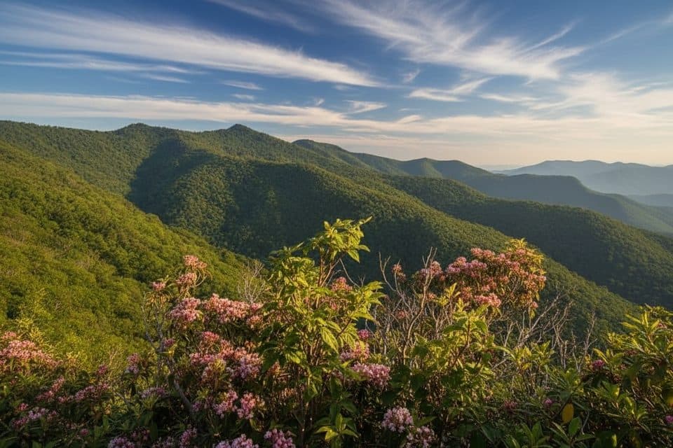
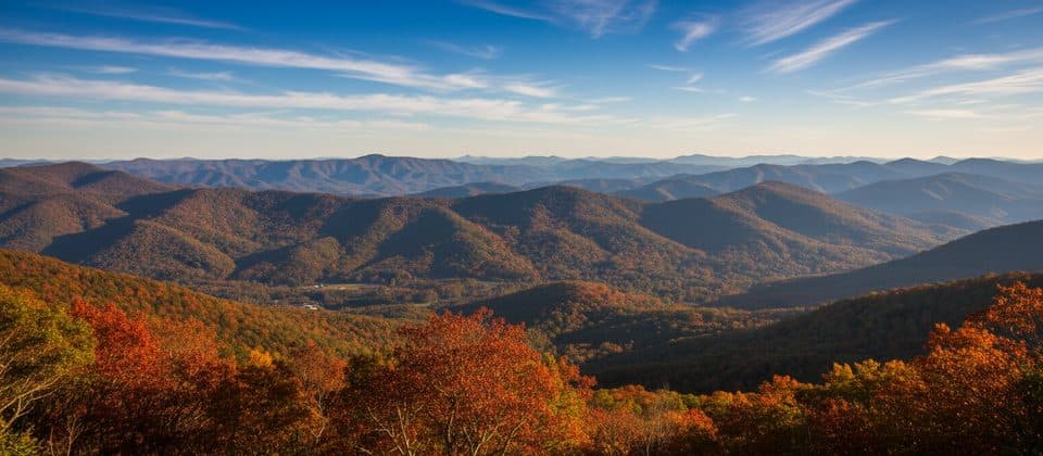
- Wide panoramic mountain views with great golden-hour light
- Direct access to the Mountains-to-Sea Trail
CONS
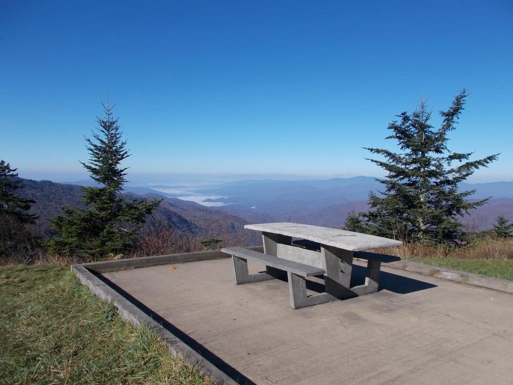
- No restrooms or picnic tables
- Namesake creek isn’t visible from the overlook
Overview
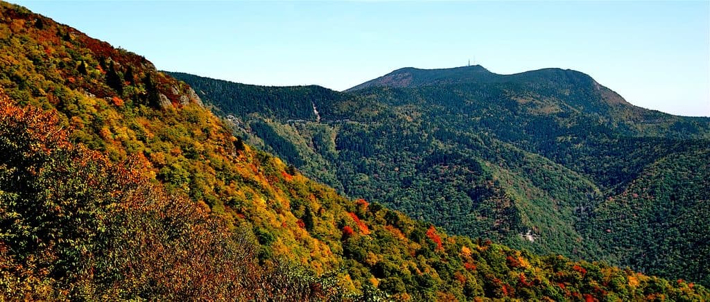
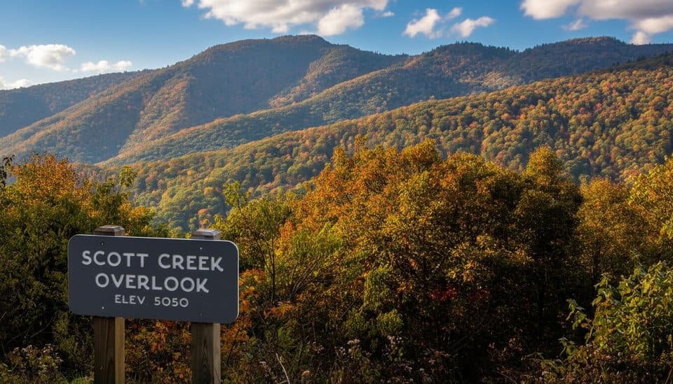
A quiet, high-elevation pullout at milepost 448.5 (about 5,050 feet), Scott Creek Overlook is all about layered ridgelines and breathing room. It’s an easy, quick stop right off the Parkway and tends to be less mobbed than the marquee viewpoints nearby.
What You’ll See
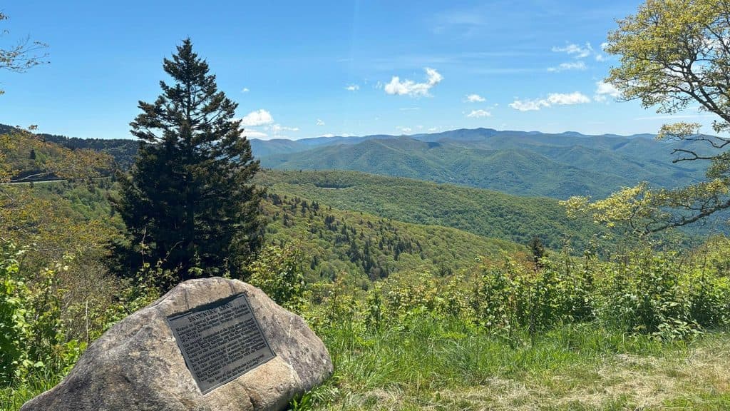
Expect sweeping mountain vistas, with views trending to the west and north—great for moody layers and dramatic afternoon light. Despite the name, Scott Creek is tucked in the forested valley below and doesn’t show from here.
Amenities and Access
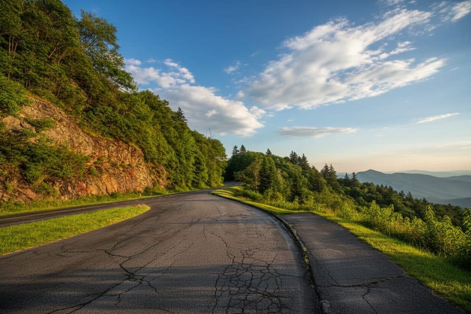
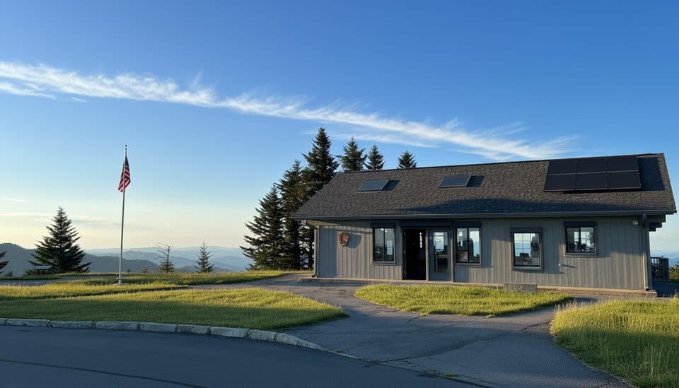
This is a simple roadside pullout with a small parking area and no built facilities—no restrooms, no picnic tables, no water. Treat it as a scenic pause or a jumping-off point for a stroll, not a full-on hangout spot.
Hiking Options
The Mountains-to-Sea Trail passes right by—pick it up just off the parking area for a longer wander. It’s a long-distance route, so bring a map, set a turnaround time, and treat it as an out-and-back sampler unless you’ve planned a shuttle.
Wildlife
High-elevation overlooks like this can be good for spotting raptors riding thermals (think hawks and vultures). Deer are most active at dawn and dusk; black bears are possible but less common—keep a respectful distance if you’re lucky enough to see one.
Best Time to Visit
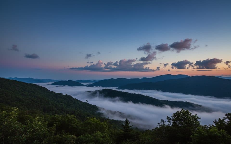
Late afternoon to sunset is the sweet spot for lighting and mountain layers; mornings can be lovely too but fog is common and can erase the view in minutes. Weekdays are typically quieter than weekends, and fall color ramps up the drama if you time it right.

Where it is
35.4505, -83.1167Tips for Scott Creek Overlook (MP 448.5)
- 01Come for golden hour—late afternoon light makes the ridgelines pop.
- 02No facilities here; bring water and snacks and pack out all trash.
- 03If you hop on the Mountains-to-Sea Trail, carry a map and set a turnaround time.
- 04Fog can roll in fast; if it’s socked in, check another overlook and circle back.
- 05Pull fully off the roadway before exiting your vehicle.
Amenities
Near Scott Creek Overlook (MP 448.5)
All places →All trails →
0.3 mi awayWesner Bald Overlook (MP 448.1)Quiet pull-off with layered mountain views and sunrise potentialPullout · Parking
0.8 mi awayWoodfin Cascades Overlook (MP 446.7)Quick stop for glimpses of a hidden cascade and MST accessParking · Scenic Viewpoint
1 mi awayYellow Face Overlook (MP 450.2)Quick pull-off with a wide Smokies panorama near Waterrock KnobPullout · Parking
1.3 mi awayMount Lynn Lowry OverlookDrive-up view of Mount Lyn Lowry and its summit crossParking · Scenic Viewpoint
1.5 mi awayYellow Face TrailShort, steep unofficial summit spur with big Smokies viewsChallenging · 1 mi · 1.3 hr
1.5 mi awayWaterrock Knob TrailShort, steep climb to 6,292 ft with sweeping Southern Highlands viewsModerate · 1.2 mi · 1 hr
9.6 mi awayRichland Balsam Nature TrailShort spruce-fir loop to the Parkway’s highest summitEasy · 1.5 mi · 1.2 hr
15.8 mi awaySam Knob TrailShort, moderate climb to a 6,000-foot bald with huge views.Moderate · 2.5 mi · 1.3 hr