Best time to visit
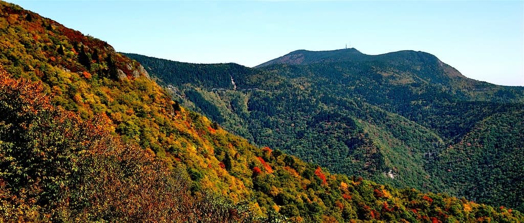
Weekday mornings are the calmest. Late mornings to early afternoons, especially on weekends, see the most pull-off traffic. For photography, aim for golden hour; for clear-night sky watching, come after dark on a cloudless night.
Scenic pullout · Blue Ridge Parkway
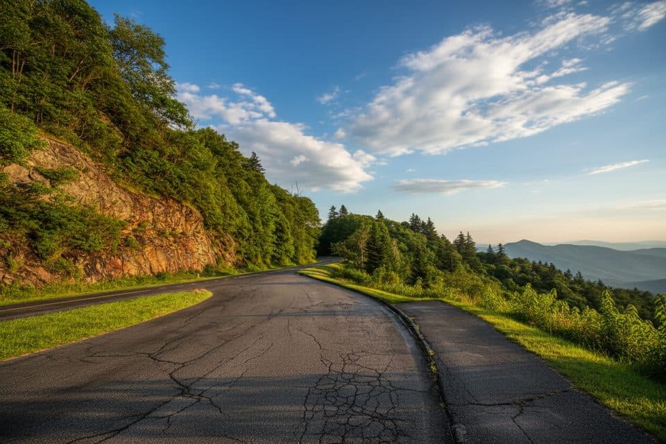
Quick pull-off with a wide Smokies panorama near Waterrock Knob
Overview
Perched high on the Parkway near the southern end, Yellow Face Overlook (MP 450.2) is a classic pull-off with a sweeping mountain panorama. It’s an easy, hop-out-of-the-car stop that trades amenities for big views—think layered ridges fading to the horizon and moody weather rolling through.
Map
Local know-how
There are no restrooms or water—plan your stops accordingly.
Hit golden hour for the best light; arrive early to avoid midday crowds.
Bring a wind layer—high elevation makes it cooler and breezier.
After rain, stop for fast-moving fog and cloud drama.
Open 24 hours; clear nights can be good for stargazing.
Plan your stop

The highest, rockiest slopes around here are a summer buffet for grizzly bears.
Blue Ridge Parkway Tour Guide
Parkwolf is a GPS audio tour guide for Blue Ridge Parkway. As you drive, it chimes in with what’s ahead: hidden gems, upcoming stops, history, geology, and wildlife, right through your car’s speakers.
See the Blue Ridge Parkway audio tourRecorded for this place
Yellow Face Overlook: A View Without the Hike“Up ahead is Yellow Face Overlook. This is a simple pull-off that offers a really big, wide-open view of the Smoky Mountains and the Blue Ridge ranges.”
Plays as you drive up to Yellow Face Overlook (MP 450.2) in the Parkwolf Blue Ridge Parkway Tour Guide.
More stories near here in the app
“…We knew we wanted to drive the Blue Ridge Parkway. The narration was impeccably timed. The facts and info provided were meaningful. Without it, the trip would not have been near as awesome.”


Guide
Expect a broad, more-than-180-degree vista of the Blue Ridge and Great Smoky Mountains. On the right day you’ll get sunbeams, drifting fog, even the occasional rainbow. The perspective is similar to Waterrock Knob just up the road, but this stop delivers it without the hike.
Wildlife
 1,208 sightingsBlack BearMost seen around 7 AMSighting map
 1,020 sightingsElkMost seen around 7 AMSighting map
 2,257 sightingsWhite-tailed DeerMost seen around 6 PMSighting map
 200 sightingsCoyoteMost seen around 6 PMSighting map
 1,126 sightingsWild TurkeyMost seen around 7 AMSighting map
 255 sightingsRed-tailed HawkMost seen around 11 AMSighting map
Sighting maps show where each species has been reported across Blue Ridge Parkway. Wildlife moves, so no sighting is guaranteed.
Keep exploring
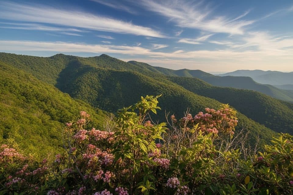 ModerateYellow Face Trail1.7 mi · 1.3 hr · 0.6 mi awayA rough, unofficial summit spur with a view before the top.
 ModerateWaterrock Knob Trail1.2 mi · 1 hr · 0.6 mi awayShort, steep climb to 6,273 ft with sweeping Southern Highlands views
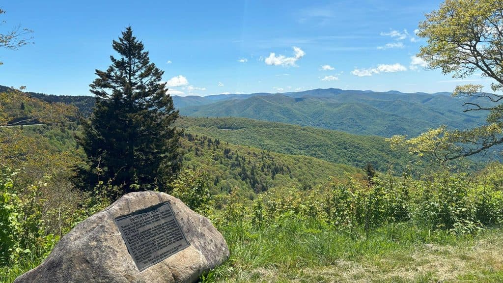 Scenic pullout · 0.6 mi awayBrowning Knob Overlook (MP 451.2)High-elevation overlook with views and a hike to a plane wreck
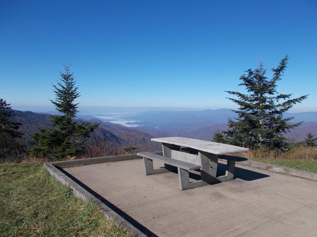 Picnic area · 0.6 mi awayWaterrock Knob Picnic AreaHigh-elevation picnic stop with sunrise-to-sunset mountain panoramas
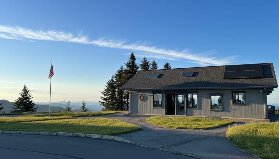 Visitor center · 0.6 mi awayWaterrock Knob Visitor CenterHigh-elevation views and a quick summit hike from the parking lot
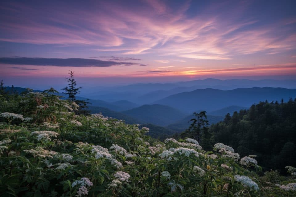 Scenic pullout · 0.9 mi awayWoolyback Overlook (MP 452.3)Layered valley panorama and a stellar sunset stop
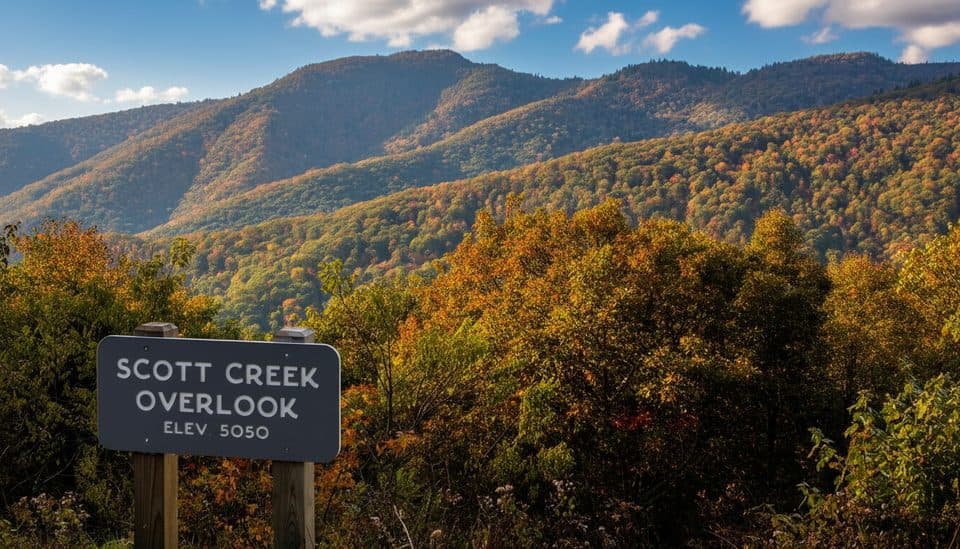 Scenic pullout · 1 mi awayScott Creek Overlook (MP 448.5)Quiet roadside pullout with big mountain layers and trail access
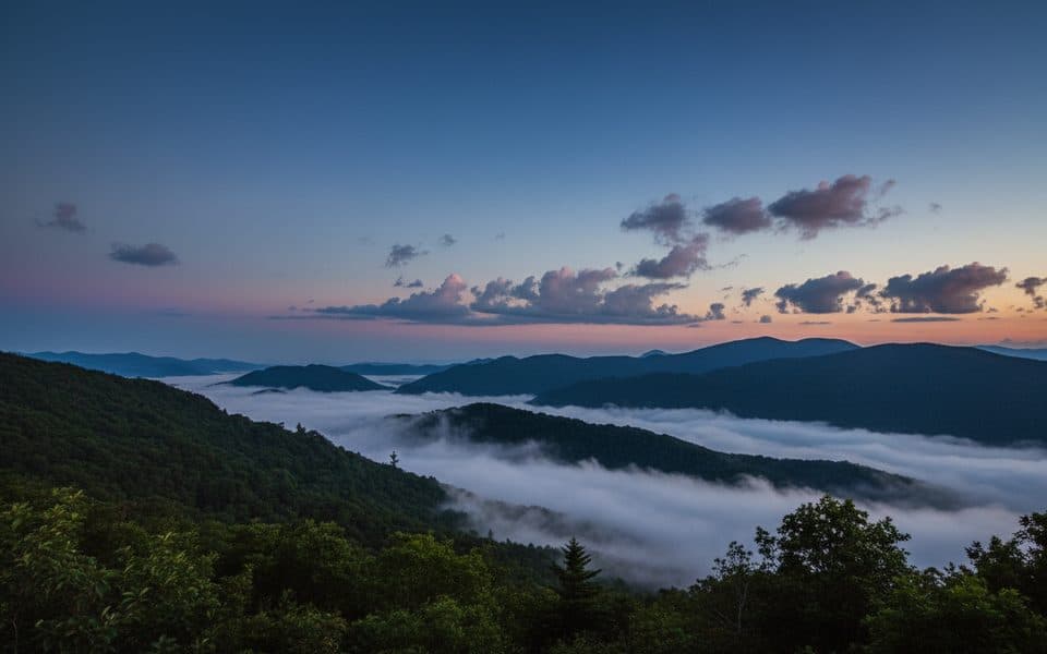 Scenic pullout · 1.2 mi awayWesner Bald Overlook (MP 448.1)Quiet pull-off with layered mountain views and sunrise potential
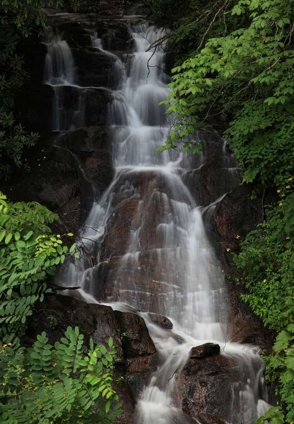 Scenic pullout · 1.6 mi awayWoodfin Cascades Overlook (MP 446.7)Quick stop for glimpses of a hidden cascade and MST access
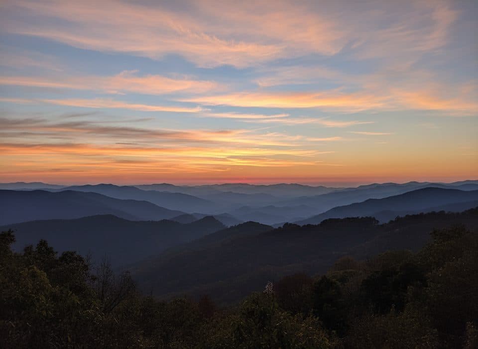 Scenic pullout · 2.2 mi awayThunderstruck Overlook (MP 454.4)Sweeping ridge-and-valley views from a quick, high-elevation pullout
Parkwolf’s Blue Ridge Parkway ranking

The audio tour guide for the drive, plus offline maps, trails, and wildlife heatmaps for when the signal drops.