Otter Creek Recreation Area in Blue Ridge Parkway

Sight · Blue Ridge Parkway

Otter Creek Recreation Area

Low-elevation creek haven with trails, fishing, and quiet camping

Photo: National Park Service
Type
Sight
Nearest trail
0.1 mi
Audio stories
3 nearby
  • Trailhead
  • Restrooms
  • Parking
  • Picnic tables

Hear the audio tour

Otter Creek and the Parkway's Low Point

Overview

About Otter Creek Recreation Area

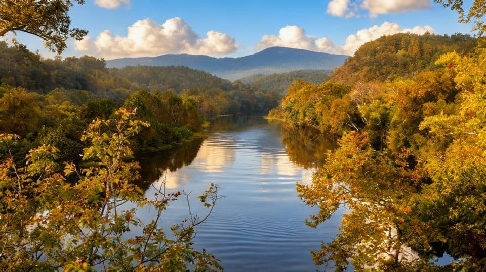
Set at roughly 649 feet—the lowest elevation on the entire Parkway—Otter Creek feels different from the high, breezy overlooks most people expect. It’s a lush, water‑rich pocket with a gentle creek, small lake, and a relaxed, rustic feel. Night skies can be wonderfully clear here, and the whole area tends to be quieter than the Parkway’s big-name viewpoints.

Why stop

  • Warm, water-rich pocket at the Parkway’s lowest elevation
  • Multiple short trails, fishing at Otter Lake, and quiet creekside vibes

Heads up

  • No restaurant or store; former facilities remain closed
  • Buggy in warm months and spotty cell service

Map

Where it is

Loading the Blue Ridge Parkway map
Full map
SightOtter Creek Recreation Area37.57591, -79.33778
Keep this map with you offline in the Parkwolf app

Local know-how

Tips for visiting Otter Creek Recreation Area

  1. Reserve ahead if you want a guaranteed campsite; some sites are first‑come, first‑served.

  2. Bring all food and basics—there’s no restaurant or store in the area.

  3. Carry bug spray and consider long sleeves in summer.

  4. Pack a Virginia fishing license if you plan to fish Otter Lake.

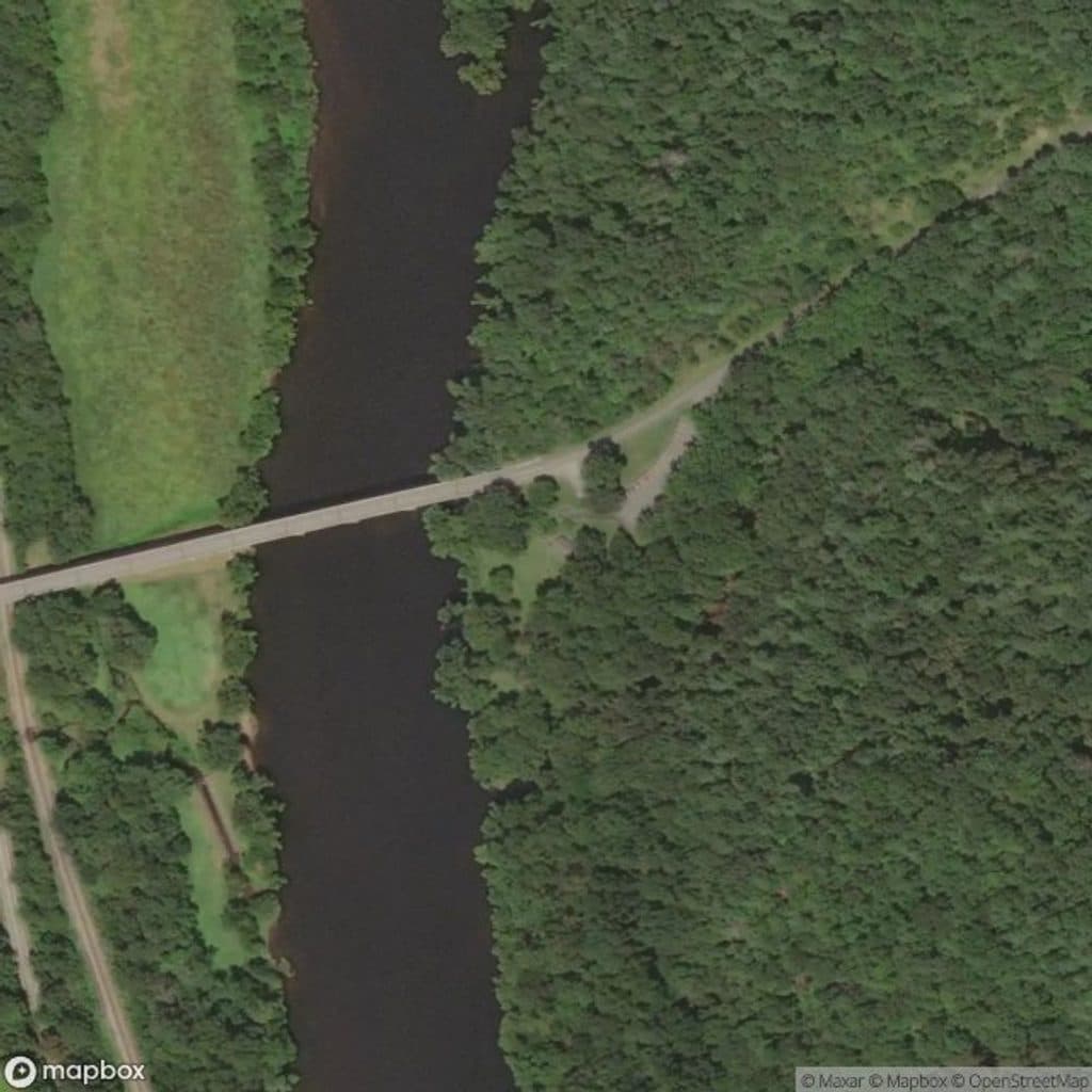
  5. Walk the canal trail to the restored lock for an easy history add‑on.

Plan your stop

Before you go

Best time to visit

  • Season: Spring and fall are the sweet spots—cooler temps, fewer bugs, and good hiking weather. Summer is fine but warmer and buggier at this low elevation.
  • Day of week: Weekdays are typically quieter than weekends.
  • Time of day: Mornings for wildlife and soft light along the creek; evenings for calm water reflections and potential stargazing on clear nights.

Camping & Facilities

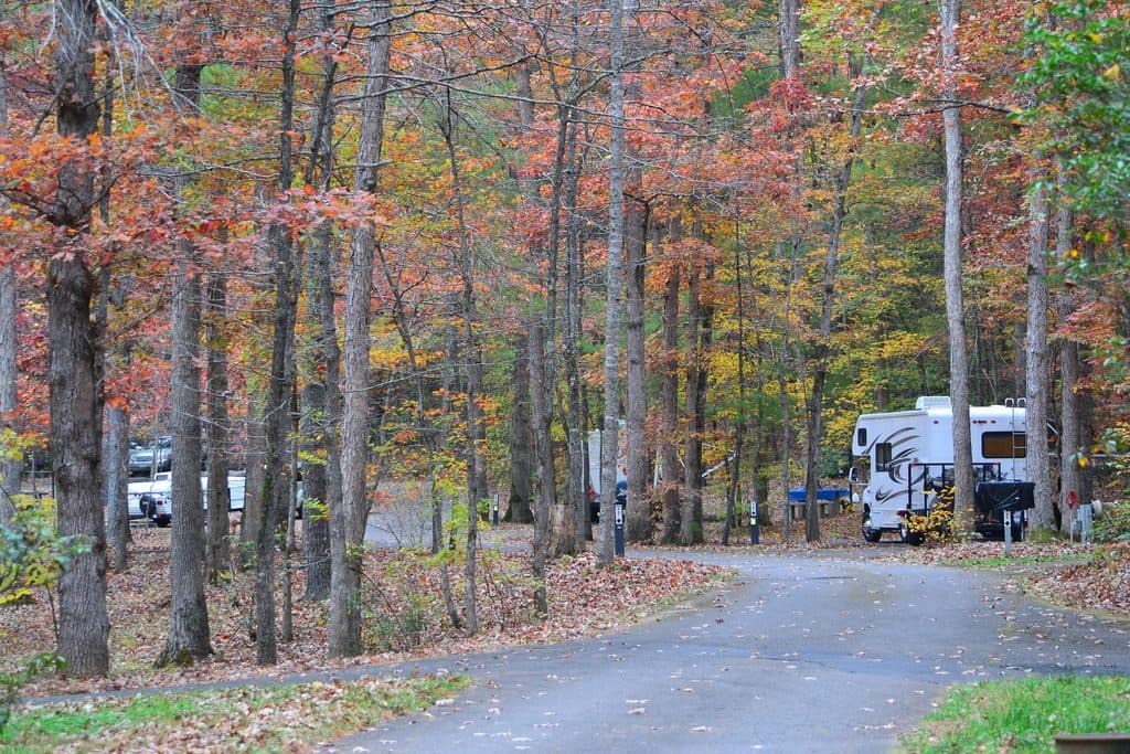
The Otter Creek Campground anchors the area with tent and RV sites, potable water, flush restrooms, and a dump station—simple but sufficient. There are no food services and no store. Some sites are reservable (39) and others first‑come, first‑served (29). Many sites limit parking to one vehicle, and overall vehicle limits apply—check details when you book or arrive.

2 active Blue Ridge Parkway alerts

  • ClosureNorth Carolina Helene-related closuresAvoid the closed Parkway section from MP 344.2–355.3; recreation of any kind is prohibited there.Official details
  • ClosureVirginia Parkway closures and detourFollow the signed detour around the closed James River Bridge and avoid the closed Roanoke Mountain Loop. - James River Bridge (MP 63.5–63.Official details
Blue Ridge Parkway alerts
A park ranger sits on a dash-mounted phone, talking, as Parkwolf’s Tour Guide plays “Army Cutworm Moths: A Grizzly Bear Buffet” on Grand Loop Road below Dunraven Pass in Yellowstone
Parkwolf Tour GuideThe highest, rockiest slopes around here are a summer buffet for grizzly bears.

Blue Ridge Parkway Tour Guide

Your drive to Otter Creek Recreation Area, narrated.

Parkwolf is a GPS audio tour guide for Blue Ridge Parkway. As you drive, it chimes in with what’s ahead: hidden gems, upcoming stops, history, geology, and wildlife, right through your car’s speakers.

See the Blue Ridge Parkway audio tour

Recorded for this place

Otter Creek and the Parkway's Low Point
Listen
“Up ahead you'll find the Otter Creek Recreation Area, which sits at the lowest elevation on the whole Parkway.”

Plays as you drive up to Otter Creek Recreation Area in the Parkwolf Blue Ridge Parkway Tour Guide.

More stories near here in the app

  • River Otters: A Blue Ridge Comeback Story
  • Otter Lake's Easy Loop Trail
  • James River: Canal Locks and Bridge Views
  • Devil’s Marbleyard: A River of Ice-Age Boulders
  • 277 audio storiesacross Blue Ridge Parkway’s roads, triggered by GPS as you drive
  • Wildlife heatmapsfor Black Bear, Elk, White-tailed Deer, and 13 more
  • Works offlinemaps, 112 trails, 232 places, and audio download before you lose signal
  • CarPlay readysimple controls built for the drive
★★★★★
“…We knew we wanted to drive the Blue Ridge Parkway. The narration was impeccably timed. The facts and info provided were meaningful. Without it, the trip would not have been near as awesome.”
Ashl GApp Store review
Download Parkwolf on the App StoreGet Parkwolf on Google Play

4.7 from 8,600+ ratings

Guide

More about Otter Creek Recreation Area

Trails & Things to DoFishing is popular at Otter Lake (bring a valid Virginia fishing license).

Fishing is popular at Otter Lake (bring a valid Virginia fishing license). Picnicking is available, and the constant burble of the creek makes lingering downright addictive.

  • Otter Creek Trail (about 3.5 miles) follows the water from the campground toward the James River Visitor Center, delivering mellow woods, creek sounds, and easy access from camp.
  • Otter Lake Loop (about 1.1 miles) adds short, steeper pops of elevation around the lake.
  • Trail of Trees is a short interpretive loop highlighting local flora.
  • James River Canal Trail leads to a restored 19th‑century canal lock—an easy way to pair nature with a bit of history.
Wildlife & NatureThis low-elevation, water‑laden slice of the Parkway supports different plant and animal…

This low-elevation, water‑laden slice of the Parkway supports different plant and animal communities than the mountaintops. Expect songbirds, deer, and aquatic life along the creek and lake. Spring brings fresh greens; summer is thick and lively; fall tones the hillsides warm.

A Note on HistoryDown by the James River, a walkway brings you to a restored lock from the old James River &…

Down by the James River, a walkway brings you to a restored lock from the old James River & Kanawha Canal era. It’s a surprisingly engaging detour that connects the present-day Parkway to 19th‑century transportation history.

What to Know Before You GoBring your own groceries and essentials—there’s no restaurant or store here.
  • Bring your own groceries and essentials—there’s no restaurant or store here.
  • Pack bug spray; the creek and lake mean more insects in warm months.
  • Expect limited cell service—plan routes, maps, and messages in advance.
  • Fishing at Otter Lake requires a Virginia license.

Wildlife

Wildlife in Blue Ridge Parkway

All Blue Ridge Parkway wildlife maps

Sighting maps show where each species has been reported across Blue Ridge Parkway. Wildlife moves, so no sighting is guaranteed.

Parkwolf’s Blue Ridge Parkway ranking

Top sights in Blue Ridge Parkway

All 232 places
  1. 1Linn Cove ViaductSight
  2. 2Mount MitchellSight
  3. 3Mount Mitchell State ParkSight
  4. 4Craggy Pinnacle OverlookSight
  5. 5Linville FallsSight
  6. 6Peaks of OtterSight

Take Parkwolf to Blue Ridge Parkway.

The audio tour guide for the drive, plus offline maps, trails, and wildlife heatmaps for when the signal drops.

4.7 from 8,600+ ratings

Download Parkwolf on the App StoreGet Parkwolf on Google Play