Parking
Park at the James River Visitor Center; follow the sidewalk to the pedestrian walkway beneath the Parkway bridge. The lot includes seasonal amenities and space for larger vehicles.

Blue Ridge Parkway, NC · VA
Short, easy out-and-back to a restored James River canal lock with views
Overview
If you like history served with river scenery, this short out-and-back punches above its weight. The Canal Lock Trail is about a 0.5-mile round trip from the James River Visitor Center, crossing a pedestrian walkway beneath the Parkway bridge to a restored 19th-century canal lock. Expect repeated views of the James River and a compact, well-curated slice of Virginia canal history.
 Parkwolf’s verdictWhy go
Map & elevation
Plan your hike

The highest, rockiest slopes around here are a summer buffet for grizzly bears.
Blue Ridge Parkway Tour Guide
Parkwolf is a GPS audio tour guide for Blue Ridge Parkway. As you drive, it chimes in with what’s ahead: hidden gems, upcoming stops, history, geology, and wildlife, right through your car’s speakers.
See the Blue Ridge Parkway audio tourRecorded for this trailhead
James River: Canal Locks and Bridge Views“The Parkway is about to dip down to its lowest elevation at the James River Visitor Center. This stop is all about transportation history.”
Plays as you drive up to this trailhead in the Parkwolf Blue Ridge Parkway Tour Guide.
More stories near here in the app
“…We knew we wanted to drive the Blue Ridge Parkway. The narration was impeccably timed. The facts and info provided were meaningful. Without it, the trip would not have been near as awesome.”


Trail guide
From the visitor center, follow the paved footway to the walkway beneath the bridge, then descend 39 stairs to the south river bank. The route follows the old canal towpath and prism downstream to Battery Creek Lock (Lock #7), its waste weir, and slackwater features; return to the visitor center on the same corridor. The terrain is mostly flat after the stairs. Plan about 20 minutes, including exhibit stops.
The full route includes a 39-step stairway and is not suitable for wheelchairs, most strollers, or anyone who cannot manage stairs. The visitor center provides the primary parking and seasonal amenities; check current operating details before relying on restrooms or water.
You are walking a restored piece of the James River and Kanawha Canal, a 19th-century transportation corridor. Pause on the walkway for river views, then look closely at the lock, waste weir, and canal prism to see how boats were raised and moved through this section.
The walkway is the best photo perch, and the lock exhibits reward a slow visit. Pair this short outing with the adjacent Trail of Trees loop for a fuller leg-stretcher. Spring wildflowers and fall color add interest, while early morning or late afternoon light is best for photos.
Wildlife
 1,208 sightingsBlack BearMost seen around 7 AMSighting map
 1,020 sightingsElkMost seen around 7 AMSighting map
 2,257 sightingsWhite-tailed DeerMost seen around 6 PMSighting map
 200 sightingsCoyoteMost seen around 6 PMSighting map
 1,126 sightingsWild TurkeyMost seen around 7 AMSighting map
 255 sightingsRed-tailed HawkMost seen around 11 AMSighting map
Sighting maps show where each species has been reported across Blue Ridge Parkway. Wildlife moves, so no sighting is guaranteed.
Keep exploring
 EasyJames River Canal Lock Trail0.4 mi · 20 min · At the trailheadShort out-and-back to Battery Creek Lock with a James River footbridge crossing
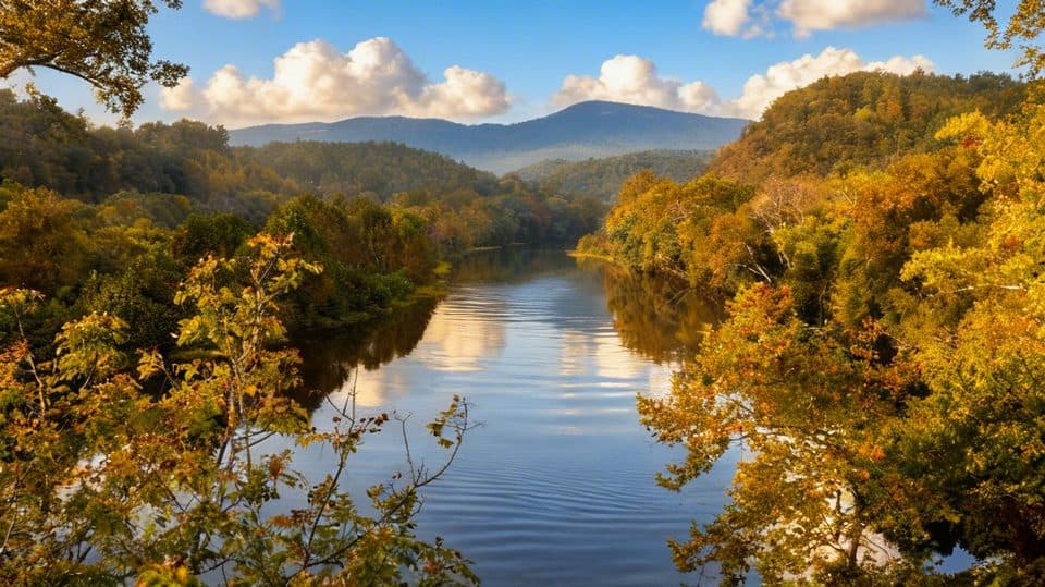 EasyTrail of Trees0.5 mi · 24 min · At the trailheadShaded riverside loop with tree ID signs and James River overlooks
 EasyOtter Lake Loop Trail0.9 mi · 45 min · 0.4 mi awayShort lakeside loop with a steep start and quiet, forested feel
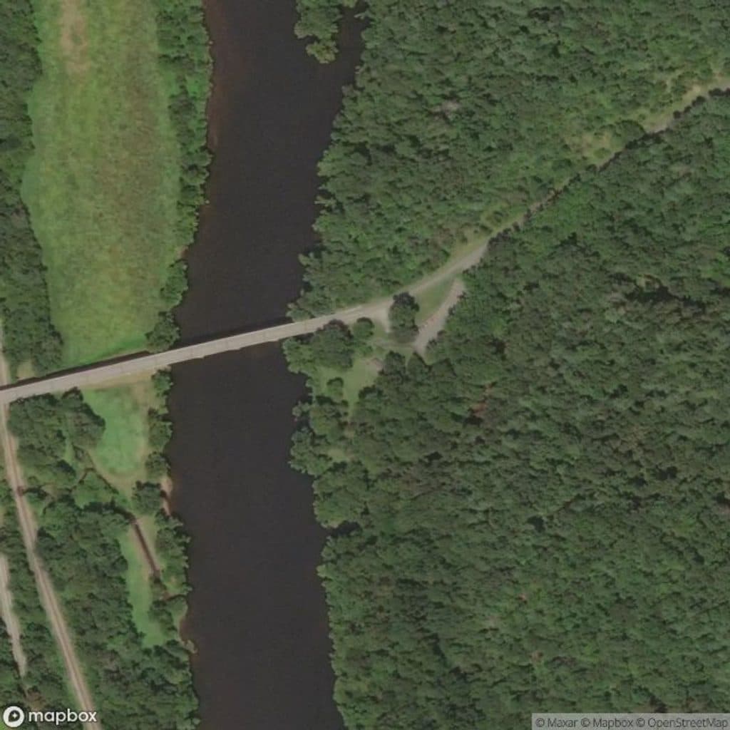 EasyOtter Creek Trail3.5 mi · 2 hr · 2 mi awayGentle 3.5-mile point-to-point creekside trail from Otter Creek Campground to James River Visitor Center
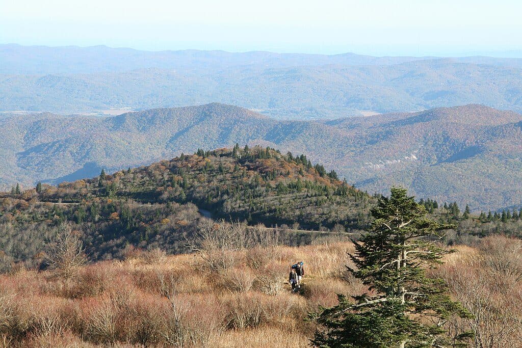 ModerateAppalachian Trail (Parkway corridor)5.2 mi · 3 hr · 7 mi awayModerate Appalachian Trail out-and-back from Thunder Ridge to Apple Orchard Mountain
 EasyThunder Ridge Nature Trail0.2 mi · 10 min · 7 mi awayShort, easy loop to a stone-walled overlook with Arnold Valley views and a brief Appalachian Trail section.
 ChallengingApple Orchard Falls Trail2.8 mi · 2.5 hr · 9.3 mi awayBlue-blazed descent to a 200-foot waterfall, with a hard climb back
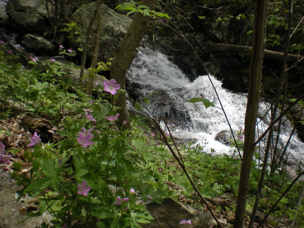 ModerateFallingwater Cascades Loop1.6 mi · 1 hr · 13 mi awayModerate 1.6-mile waterfall loop with cascades, rhododendron, and a real climb out.
 Visitor center · At the trailheadJames River Visitor CenterRiverside stop with canal history, short trails, and big river views
 Sight · 2.1 mi awayOtter Creek Recreation AreaLow-elevation creek haven with trails, fishing, and quiet camping
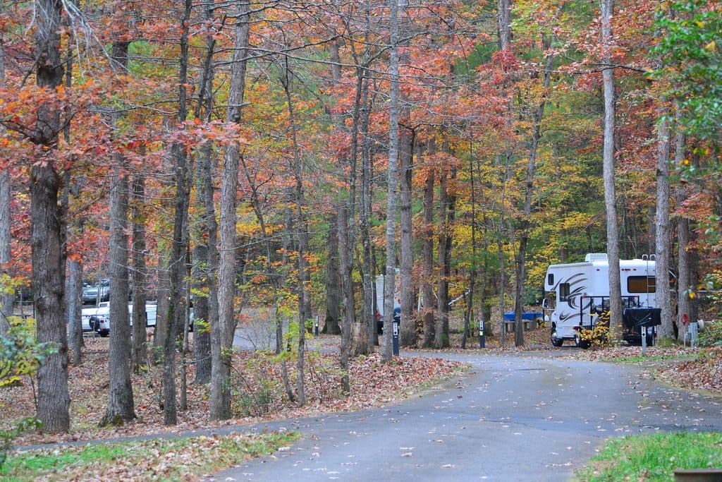 Campground · 2.1 mi awayOtter Creek CampgroundQuiet creekside campground at the Parkway’s lowest elevation
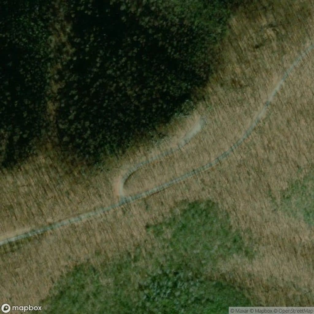 Scenic pullout · 7 mi awayThunder Ridge OverlookQuiet overlook with Arnold Valley views and a taste of the AT
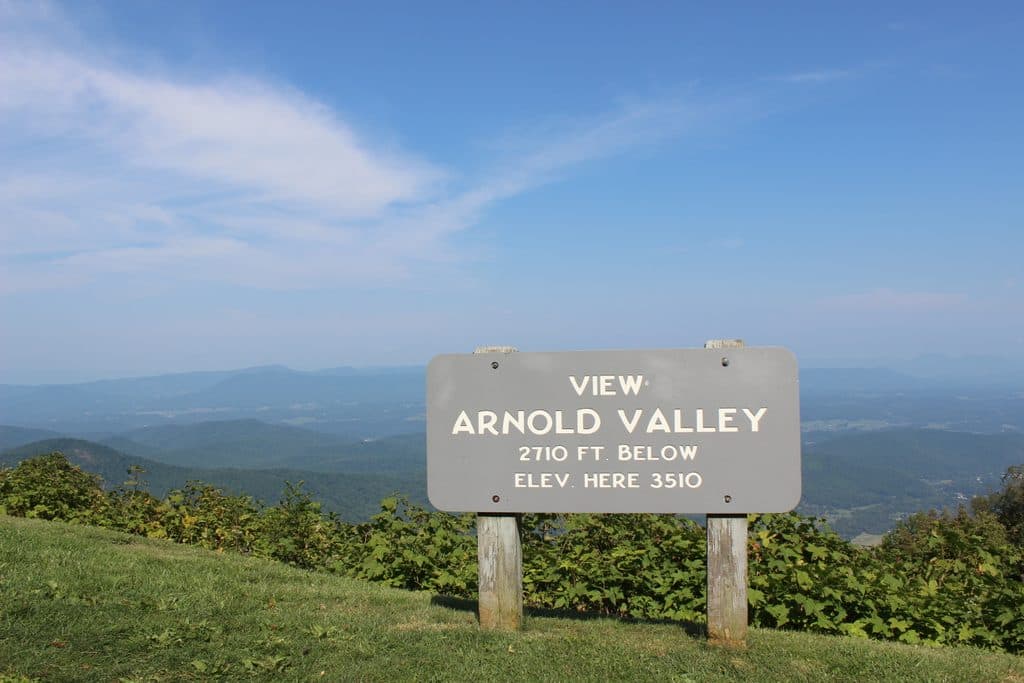 Sight · 7.4 mi awayArnold Valley OverlookBig western views and sunsets over Arnold Valley
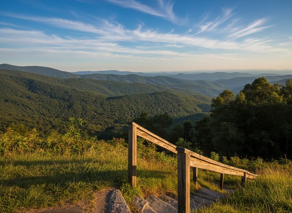 Scenic pullout · 7.9 mi awayBluff Mountain OverlookCompact overlook facing Bluff Mountain and Otter Creek headwaters
 Scenic pullout · 7.9 mi awayApple Orchard Mountain OverlookVirginia’s highest Parkway overlook with easy, big-sky sunrise views
 Trailhead · 9.3 mi awaySunset FieldsBusy trailhead for Apple Orchard Falls, not much of a view
Parkwolf’s Blue Ridge Parkway ranking
The audio tour guide for the drive, plus offline maps, trails, and wildlife heatmaps for when the signal drops.





