Parking
Profile Trailhead, 4198 NC Hwy 105 N, Banner Elk. Parking, restrooms, and water are available at the lot next to Grandfather Shopping Center.

Blue Ridge Parkway, NC · VA
Steep, rewarding climb from NC 105 to Grandfather’s ridgeline.
Overview
Map & elevation
Plan your hike

The highest, rockiest slopes around here are a summer buffet for grizzly bears.
Blue Ridge Parkway Tour Guide
Parkwolf is a GPS audio tour guide for Blue Ridge Parkway. As you drive, it chimes in with what’s ahead: hidden gems, upcoming stops, history, geology, and wildlife, right through your car’s speakers.
See the Blue Ridge Parkway audio tourRecorded for this area
Wilson Creek Overlook and a Trail Shortcut“The pullout coming up is for Wilson Creek Overlook. While the view looks into a protected watershed, the best feature of this stop is a bit hidden.”
Plays on the road 1.9 mi from the trailhead in the Parkwolf Blue Ridge Parkway Tour Guide.
More stories near here in the app
“…We knew we wanted to drive the Blue Ridge Parkway. The narration was impeccably timed. The facts and info provided were meaningful. Without it, the trip would not have been near as awesome.”


Trail guide
This is a 7.2-mile out-and-back to Calloway Gap, with 3.6 miles each way. Allow at least four hours. The trail rises from about 4,034 feet at the Profile Trailhead to 5,675 feet at the gap, so the payoff is a serious mountain climb rather than a quick viewpoint walk.
The first stretch rolls through hardwood forest and seasonal wildflowers before the route turns steadily steeper. Expect rocky tread, roots, stone steps, and a demanding final push toward the ridge. Views are limited for much of the climb, then open up around Calloway Gap.
Begin at the Profile Trail parking area on NC 105, at 4198 NC Hwy 105 N in Banner Elk. Parking, restrooms, and water are available at the trailhead, but the lot fills on busy days. The state-park-side access is free. Follow the Profile Trail to Calloway Gap, where it meets the blue-blazed Grandfather Trail.
The listed route ends at Calloway Gap. If you still have legs, Calloway Peak is another 0.4 miles along the Grandfather Trail and typically adds one to two hours round trip. I’d save that extension for a clear-weather day: the ridge views are the reward, while the steep upper trail is the part that demands the most care. At the gap, frame the open ridgeline with the trail’s rock and spruce-fir for a sense of the climb.
Wildlife
 1,208 sightingsBlack BearMost seen around 7 AMSighting map
 1,020 sightingsElkMost seen around 7 AMSighting map
 2,257 sightingsWhite-tailed DeerMost seen around 6 PMSighting map
 200 sightingsCoyoteMost seen around 6 PMSighting map
 1,126 sightingsWild TurkeyMost seen around 7 AMSighting map
 255 sightingsRed-tailed HawkMost seen around 11 AMSighting map
Sighting maps show where each species has been reported across Blue Ridge Parkway. Wildlife moves, so no sighting is guaranteed.
Keep exploring
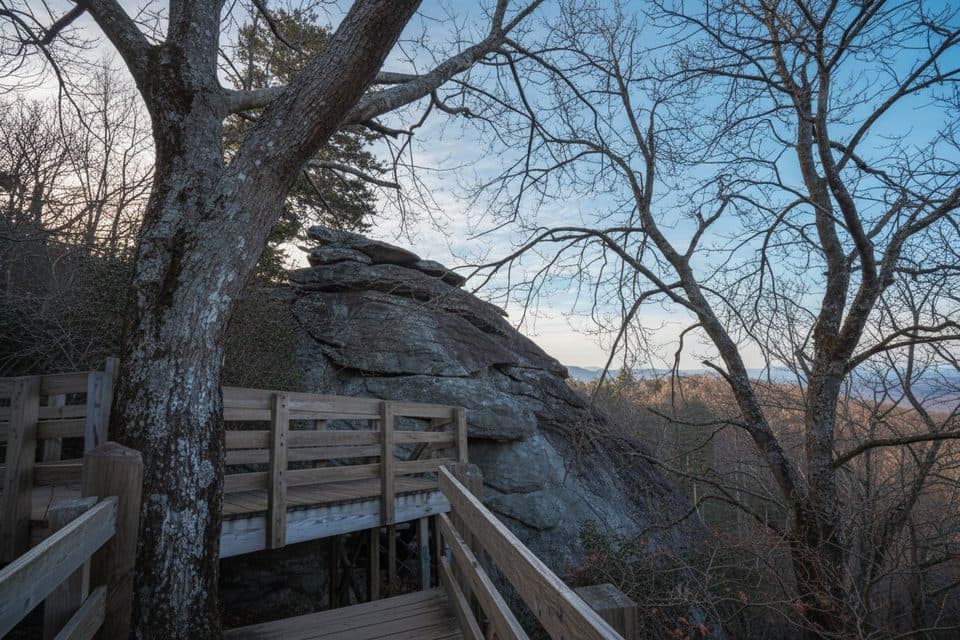 EasyStack Rock Trail0.5 mi · 30 min · 2.2 mi awayTiny detour to a quirky rock tower in a rhodo-laced forest
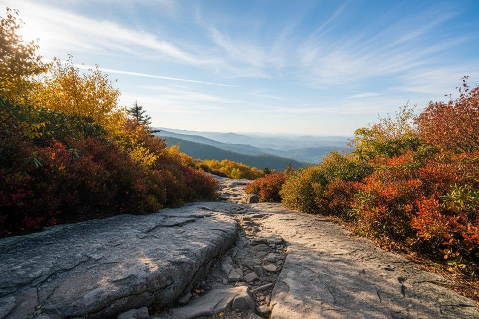 EasyLinn Cove Viaduct Access Trail0.2 mi · 15 min · 2.3 mi awayEasy paved walk to the viaduct's best up-close viewpoint.
 ModerateRough Ridge Trail1.2 mi · 1 hr · 2.4 mi awayA short, rocky Tanawha Trail climb to boardwalks, cables, and sweeping Blue Ridge views
 EasyBeacon Heights Trail0.8 mi · 30 min · 2.4 mi awayShort, rocky climb to twin quartzite slabs with huge views
 ChallengingTanawha Trail13.5 mi · 6.5 hr · 2.5 mi awayGrandfather’s marquee traverse of views, boardwalks, and the Viaduct
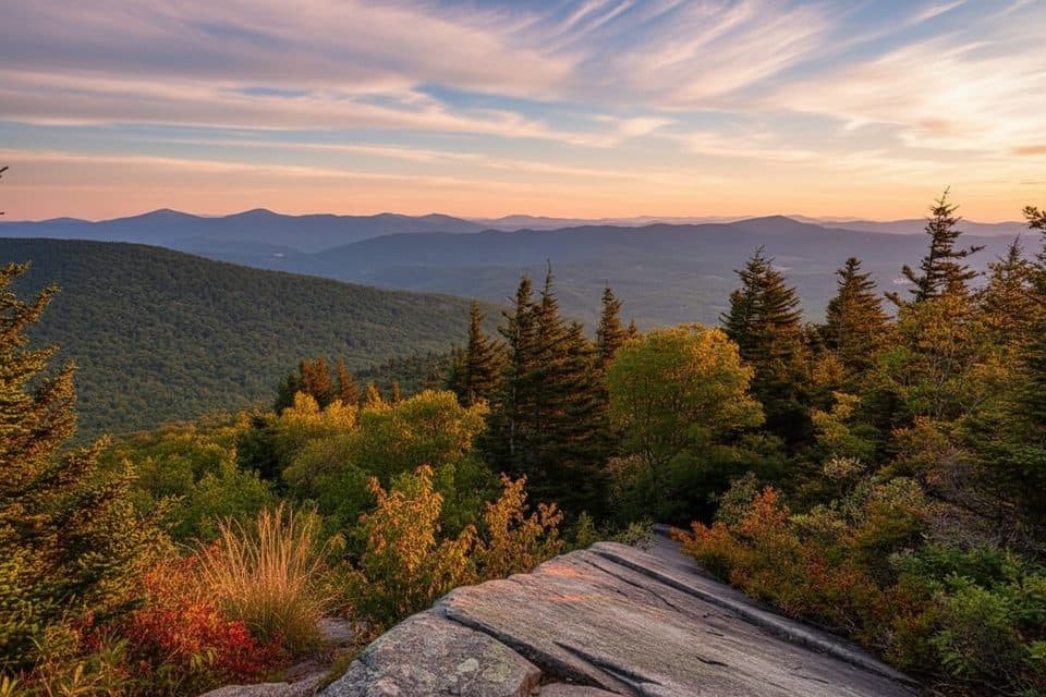 EasyNuwati Trail3 mi · 2 hr · 2.9 mi awayRocky, gentle-grade stroll to Storyteller’s Rock and Boone Bowl views
 ChallengingDaniel Boone Scout Trail7.2 mi · 5 hr · 2.9 mi awayRugged climb to Calloway Peak with ladders, cables, and big viewsEasyCold Prong Pond Loop0.4 mi · 15 min · 3.6 mi awayShort, easy loop from Cold Prong Pond Overlook through rhododendron, forest, and a former pond meadow.
 Sight · 1.3 mi awayGrandfather MountainIconic peak with swinging bridge, huge views, and rugged trails
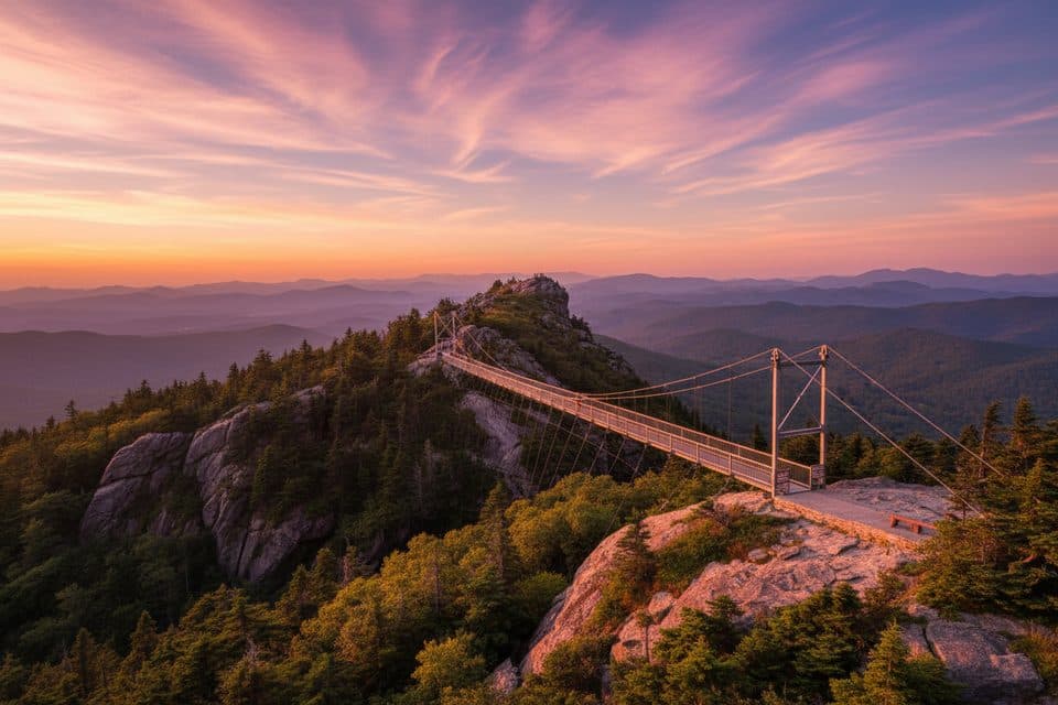 Sight · 1.7 mi awayMile High Swinging BridgeA swaying mile-high footbridge with knockout Grandfather Mountain views
 Scenic pullout · 1.9 mi awayWilson Creek OverlookQuiet overlook with sunrise views and a shortcut to the Tanawha Trail
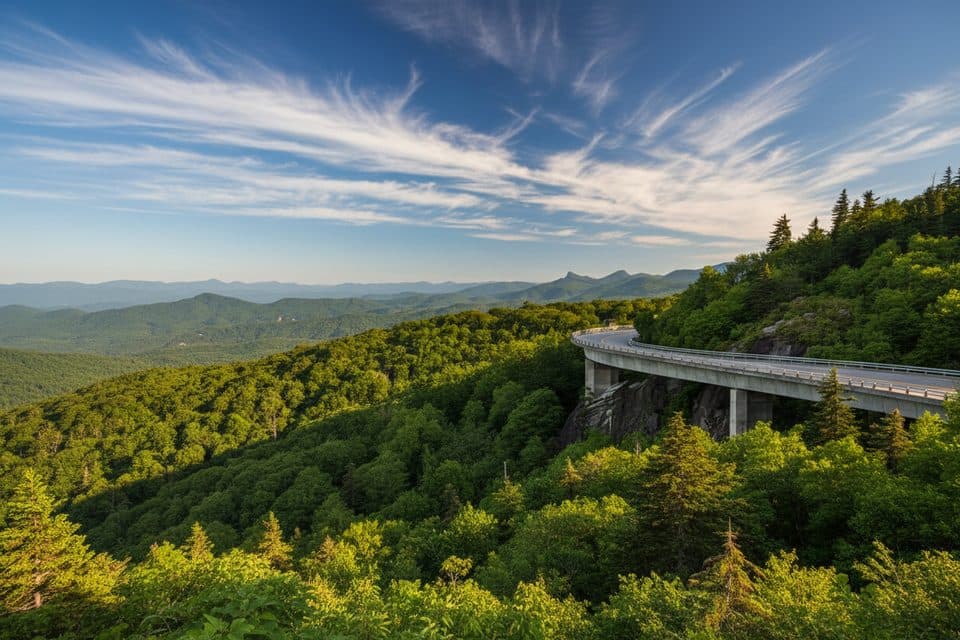 Scenic pullout · 2 mi awayYonahlossee OverlookQuick pullout for the classic Linn Cove Viaduct viewpoint
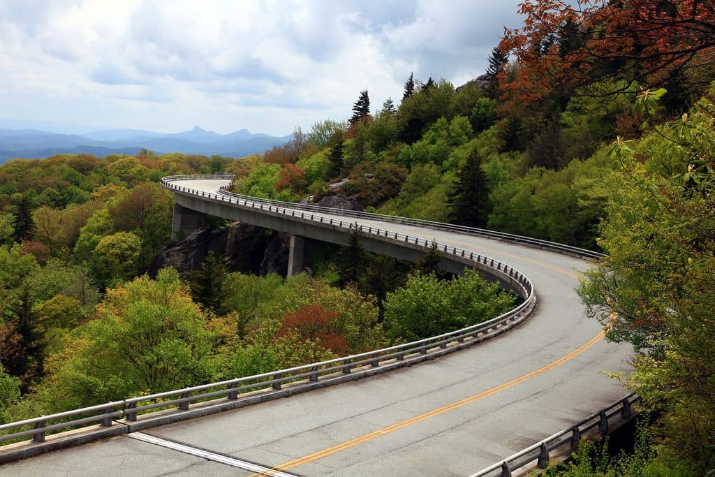 Sight · 2 mi awayLinn Cove Viaduct OverlookUp-close, under-bridge view of the Parkway's iconic curving viaduct
 Sight · 2 mi awayLinn Cove ViaductIconic S-curve bridge hugging Grandfather Mountain with epic views
 Sight · 2.2 mi awayStack RockQuirky rock pillar reached by a very short forest walk
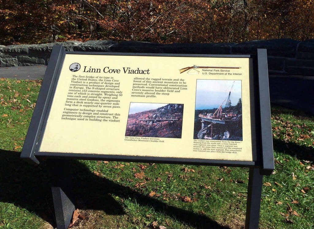 Visitor center · 2.3 mi awayLinn Cove Viaduct Visitor CenterTrailhead for up-close views of the iconic Linn Cove Viaduct
Parkwolf’s Blue Ridge Parkway ranking

The audio tour guide for the drive, plus offline maps, trails, and wildlife heatmaps for when the signal drops.



