Challenging

Tanawha Trail

Grandfather’s marquee traverse of views, boardwalks, and the Viaduct
Tanawha Trail, Blue Ridge Parkway
Distance13.5 mi
Typical time5.7 hr
DifficultyChallenging
PetsAllowed

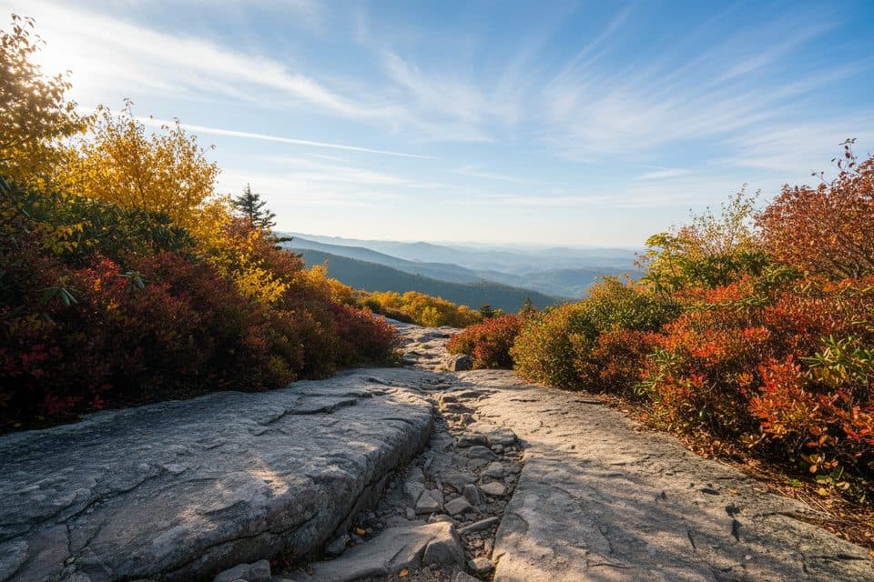
The Tanawha Trail is a 13.5-mile point-to-point traverse skirting the base of Grandfather Mountain between Julian Price Park and Beacon Heights. It parallels the Blue Ridge Parkway and strings together some of the region’s most photogenic features—Rough Ridge, the Linn Cove Viaduct, open meadows, and ancient forests—without ever feeling repetitive. Expect real variety underfoot: rocky tread, stone steps, flagstone-like slabs, footbridges, and signature boardwalks that protect fragile high-elevation plant communities ([nps.gov](https://www.nps.gov/blri/planyourvisit/tanawha-trail.htm), [virtualblueridge.com](https://www.virtualblueridge.com/parkway-place/tanawha-trail/)).

Route and highlights

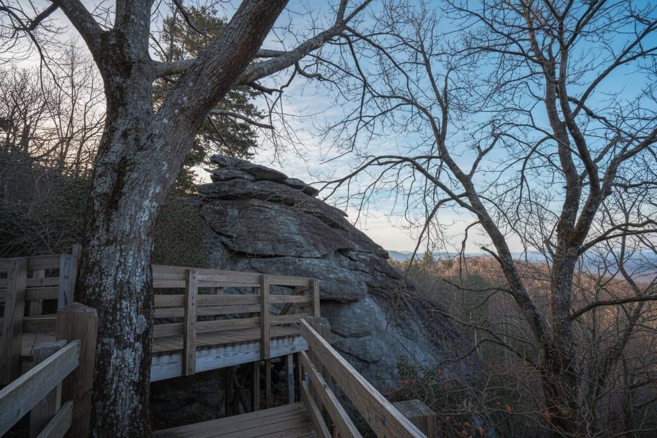
Heading between Julian Price Park and Beacon Heights, the trail weaves through birch, beech, spruce, hemlock, and poplar, then breaks into clearings and meadows near Price Park where you’ll pass old orchards, pastureland, and even a small grave site—unexpected cultural touches on a mountain hike ([virtualblueridge.com](https://www.virtualblueridge.com/parkway-place/tanawha-trail/)). Rough Ridge is the star viewpoint: a boardwalk over mountain-heather communities with sweeping looks into the Piedmont and across the Parkway. It’s one of the most photographed perches on the Parkway, and for good reason—go early to savor it ([virtualblueridge.com](https://www.virtualblueridge.com/parkway-place/tanawha-trail/)).

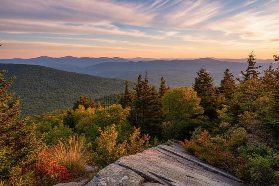
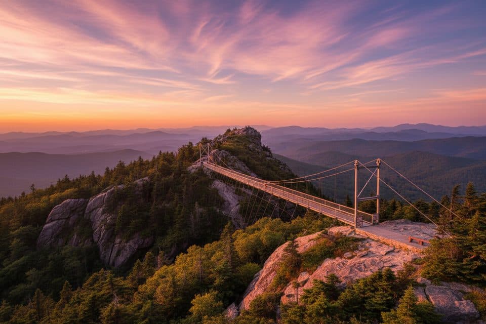
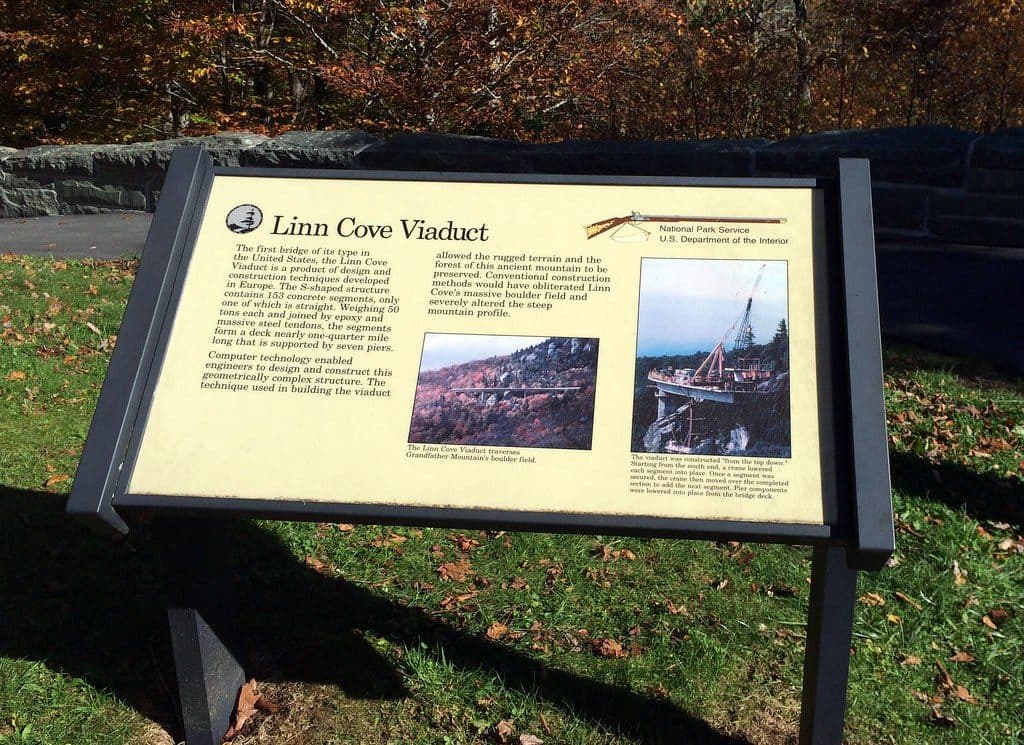
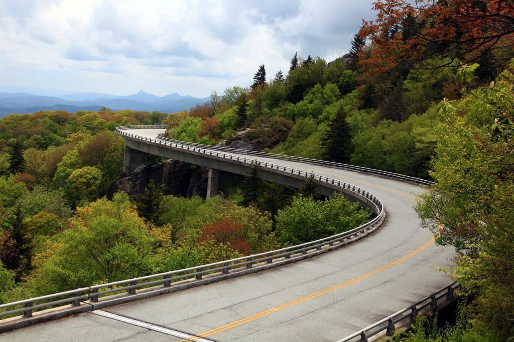
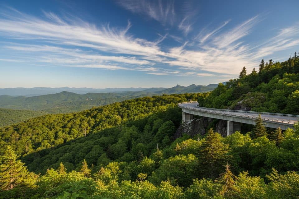
Near the iconic Linn Cove Viaduct, stone steps climb past massive boulders and the trail ducks beneath the sweeping S-curve of concrete—an up-close, camera-worthy perspective on the Parkway’s engineering jewel ([seesugar.com](https://seesugar.com/tanawha-trail/)). Long-range mountain vistas pop in and out all day, with frequent glimpses toward Grandfather and distant peaks.

Difficulty and who it’s for

Overall, this is a moderate-to-strenuous outing with plenty of rocky, rooty, and occasionally slick sections, plus rolling elevation that accumulates over the day. Strong hikers can tackle the full 13.5 miles in a single push; many opt for shorter out-and-back sections from multiple access points along the Parkway ([nps.gov](https://www.nps.gov/blri/planyourvisit/tanawha-trail.htm), [seesugar.com](https://seesugar.com/tanawha-trail/)).

Tips and logistics

  • Section it smartly: Great access points include Beacon Heights (MP 305.5), Stack Rock (MP 304.8), Linn Cove Viaduct Visitor Center (MP 304.4), and Wilson Creek Overlook (MP 303.6). Use these to tailor distance and chase the best light or views ([seesugar.com](https://seesugar.com/tanawha-trail/)).
  • Footwear matters: grippy shoes for slick rock, roots, and wet boardwalks. Weather turns quickly at elevation—pack layers.
  • Stay on the path and boardwalks at Rough Ridge to protect rare plants and fragile soils; the trail was built to minimize impact—honor that design ([nps.gov](https://www.nps.gov/blri/planyourvisit/tanawha-trail.htm), [virtualblueridge.com](https://www.virtualblueridge.com/parkway-place/tanawha-trail/)).

Best time to hike

  • Spring: meadows and forest edges wake up with wildflowers; temps are pleasant ([virtualblueridge.com](https://www.virtualblueridge.com/parkway-place/tanawha-trail/)).
  • Summer: lush, shaded stretches make for cooler hiking than the lowlands ([virtualblueridge.com](https://www.virtualblueridge.com/parkway-place/tanawha-trail/)).
  • Autumn: peak foliage and peak crowds—start at sunrise for parking and quieter boardwalk time ([seesugar.com](https://seesugar.com/tanawha-trail/)).
  • Winter: sections can be icy or snow-covered; views open up, but check conditions—Parkway closures can affect access even when the trail itself is open year-round ([nps.gov](https://www.nps.gov/blri/planyourvisit/tanawha-trail.htm)).

Is it worth it? Absolutely. Whether you stitch together a half-day sampler or commit to the full traverse, Tanawha delivers the Parkway’s greatest hits—big views, unique geology, and an up-close Viaduct moment—without feeling like a highway-side stroll. It’s popular, but the scenery and variety earn the hype.

Pros

  • Multiple Parkway access points make it easy to cherry-pick the best segments
  • Rare chance to walk beneath the Linn Cove Viaduct and hit Rough Ridge in one route

Cons

  • Rough Ridge and nearby lots fill early in fall; expect crowds and parking pressure
  • Slick rock and boardwalk surfaces can be treacherous after rain or in winter

Parking

Park at your chosen Blue Ridge Parkway access: Beacon Heights (MP 305.5), Stack Rock (MP 304.8), Linn Cove Viaduct Visitor Center (MP 304.4), Wilson Creek Overlook (MP 303.6), or Julian Price Park. Use the NPS Tanawha map to plan point-to-point shuttles or out-and-backs ([seesugar.com](https://seesugar.com/tanawha-trail/), [nps.gov](https://www.nps.gov/blri/planyourvisit/tanawha-trail.htm)).

Caution

Fragile alpine-like vegetation—stay on trail and boardwalks, especially at Rough Ridge. Expect rocky, rooty, sometimes slick footing; ice and snow possible in winter. Blue Ridge Parkway access may close seasonally or during storms—check conditions before you go ([nps.gov](https://www.nps.gov/blri/planyourvisit/tanawha-trail.htm)).

The Parkwolf tour guide sitting on a phone mounted in a car

Parkwolf Tour Guide

Like a tour guide in your car.

Bring Blue Ridge Parkway trail research into the car, with offline maps and stories that play as you drive.Download Parkwolf on the App Store