Parking
Use the signed parking areas at the Mabry Mill historic complex near Blue Ridge Parkway milepost 176.2; the mapped loop starts from the historic-area parking walk and returns there.

Blue Ridge Parkway, NC · VA
Short, easy loop through Mabry Mill’s historic mountain-industry exhibits
Overview
Mabry Mill Trail, also known as the Mountain Industry Trail, is a short, easy loop through one of the Blue Ridge Parkway’s best-known historic sites. It links the mill pond and waterwheel with historic buildings, interpretive exhibits, and classic Parkway scenery. This is a 0.4-mile closed loop, mapped at about 607 meters, beginning and ending at the Mabry Mill historic-area parking walk. The route is nearly flat and uses mostly paved paths and boardwalk, with short unpaved transitions around the exhibits. Allow about 15 minutes for the walk itself, plus extra time to look around the historic site. The loop passes the restored Mabry Mill and pond, Matthews Cabin, the blacksmith shop, whiskey still, sorghum mill, farm implements, and other displays about rural Appalachian life. Use the signed parking areas at the Mabry Mill historic complex near Blue Ridge Parkway milepost 176.2; the mapped loop starts from the historic-area parking walk and returns there. Stay on the visitor paths around the buildings and pond. Leashed pets are welcome on the trail but not inside historic buildings. Mabry Mill preserves the working landscape associated with Edwin and Lizzy Mabry, whose mill, sawmill, and blacksmithing supported the surrounding rural community. Seasonal cultural demonstrations and music programs may be offered; check the park’s current calendar when planning a visit.
Map & elevation
Plan your hike

The highest, rockiest slopes around here are a summer buffet for grizzly bears.
Blue Ridge Parkway Tour Guide
Parkwolf is a GPS audio tour guide for Blue Ridge Parkway. As you drive, it chimes in with what’s ahead: hidden gems, upcoming stops, history, geology, and wildlife, right through your car’s speakers.
See the Blue Ridge Parkway audio tourRecorded for this trailhead
Mabry Mill and Its Historic Mountain Village“Get ready for Mabry Mill, which is the absolute classic postcard shot of the Blue Ridge Parkway. But it's much more than just a pretty picture; this is a restored Appalachian community from the early 1900s.”
Plays as you drive up to this trailhead in the Parkwolf Blue Ridge Parkway Tour Guide.
More stories near here in the app
“…We knew we wanted to drive the Blue Ridge Parkway. The narration was impeccably timed. The facts and info provided were meaningful. Without it, the trip would not have been near as awesome.”


Wildlife
 1,208 sightingsBlack BearMost seen around 7 AMSighting map
 1,020 sightingsElkMost seen around 7 AMSighting map
 2,257 sightingsWhite-tailed DeerMost seen around 6 PMSighting map
 200 sightingsCoyoteMost seen around 6 PMSighting map
 1,126 sightingsWild TurkeyMost seen around 7 AMSighting map
 255 sightingsRed-tailed HawkMost seen around 11 AMSighting map
Sighting maps show where each species has been reported across Blue Ridge Parkway. Wildlife moves, so no sighting is guaranteed.
Keep exploring
 ChallengingRock Castle Gorge Trail10.8 mi · 6.5 hr · 4.9 mi awayStrenuous 10.8-mile loop through Rock Castle Gorge, forest, meadows, and mountain views.
 EasyRocky Knob Picnic Loop Trail1.3 mi · 45 min · 5.1 mi awayEasy yellow-blazed loop through the Rocky Knob picnic-area woods
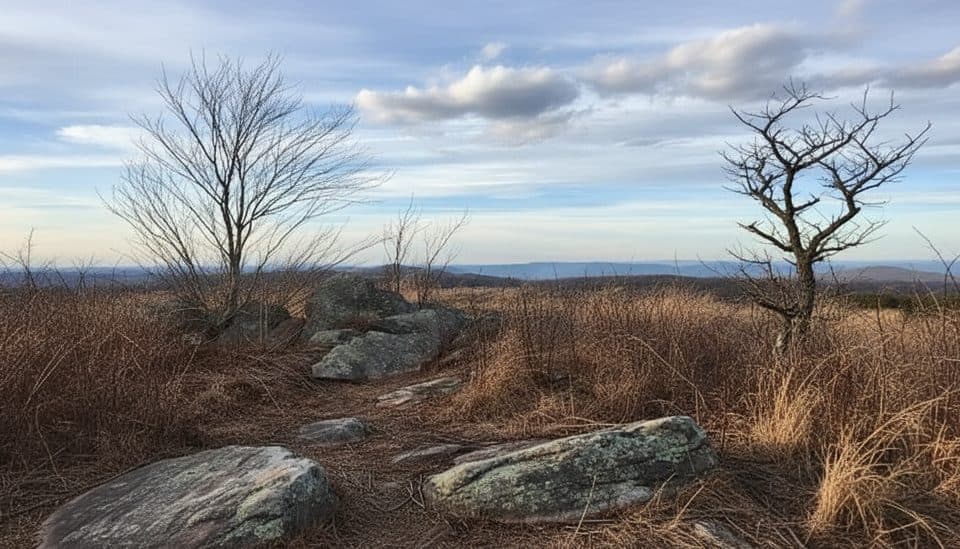 ModerateBlack Ridge Trail3 mi · 1.5 hr · 5.2 mi awayBlue-blazed Black Ridge loop from Rocky Knob Visitor Center
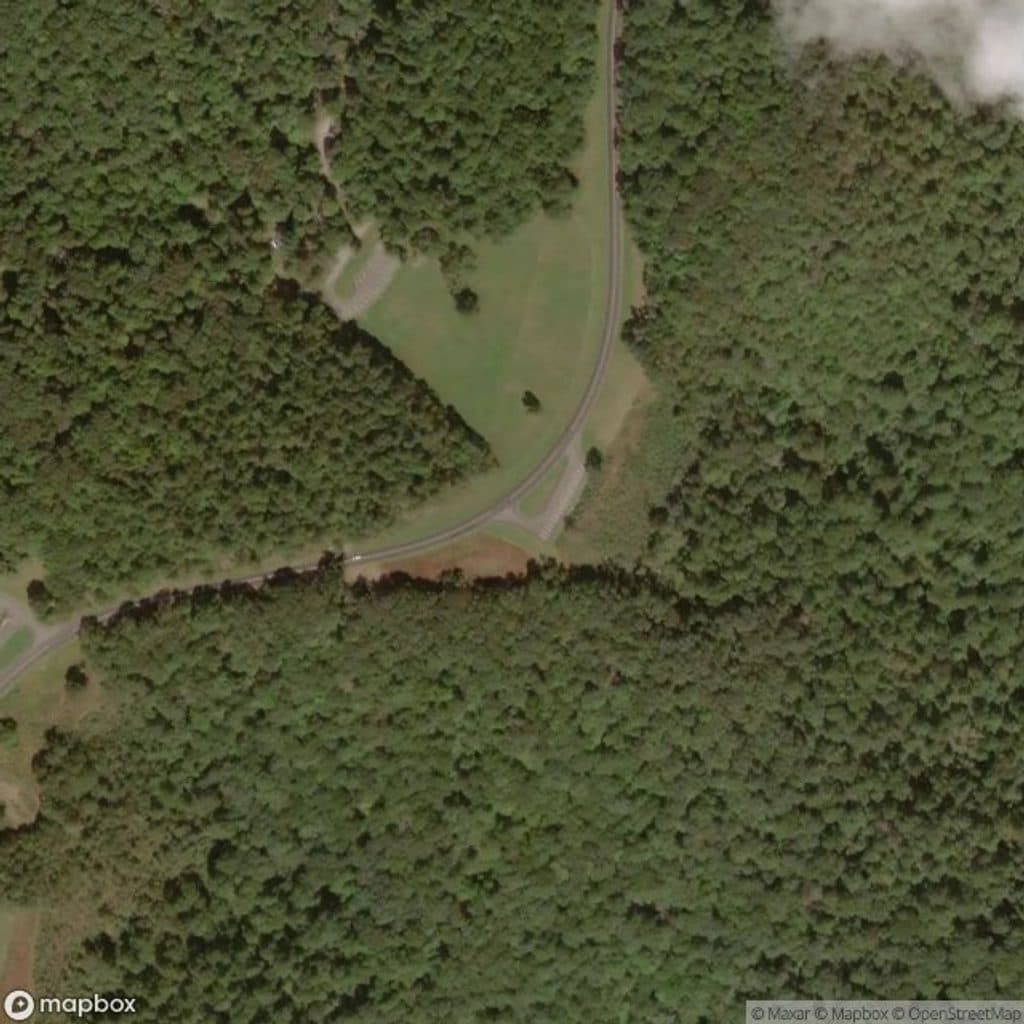 ChallengingRock Castle Gorge Loop Trail10.8 mi · 6.5 hr · 5.3 mi awayA strenuous 10.8-mile loop through Rock Castle Gorge with ridge-top views
 EasyPuckett Cabin Trail0.1 mi · 10 min · 10.9 mi awayVery short, flat walk from a Parkway pull-off to the historic cabin of midwife Orlean Puckett
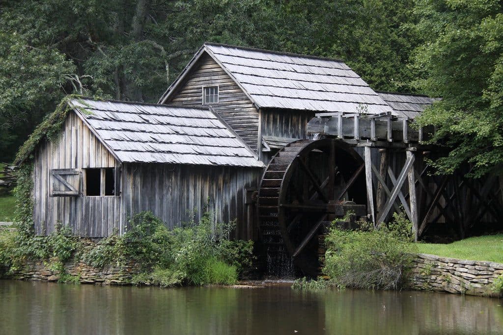 Sight · 0.1 mi awayMabry MillClassic waterwheel mill with demos and mirror-still pond reflections
 Restaurant · 3 mi awayChateau Morrisette WineryWine tastings and mountain-view dining just off the Parkway
 Campground · 4.7 mi awayRocky Knob CampgroundQuiet Parkway campground near Rock Castle Gorge and starry night skies
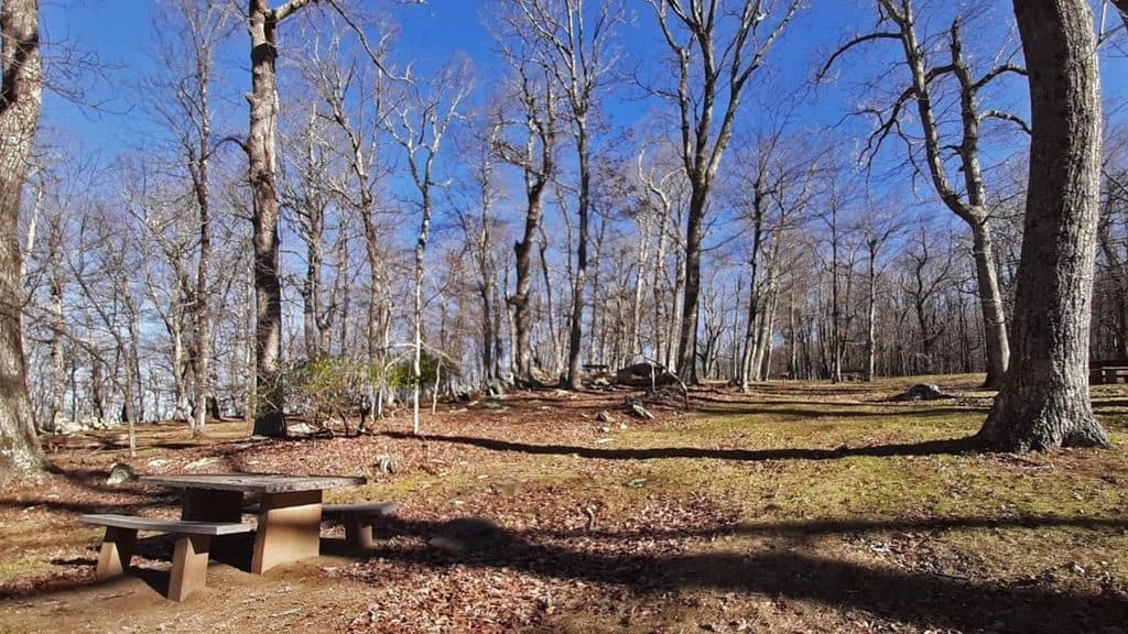 Picnic area · 5.1 mi awayRocky Knob Picnic AreaShady ridge-top picnic loops with grills, restrooms, and trail access
 Visitor center · 5.2 mi awayRocky Knob Visitor CenterSimple hub for Rock Castle Gorge hikes and quiet picnics
 Scenic pullout · 5.3 mi awayRock Castle Gorge OverlookBig views and a gateway to the rugged Rock Castle Gorge
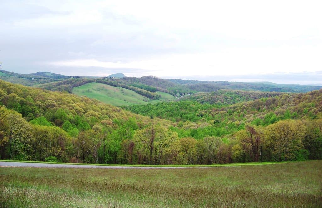 Scenic pullout · 6.1 mi awayThe Saddle OverlookDual-sided overlook for sunrise, sunset, and hawk-watching
 Sight · 6.5 mi awayRock Castle GorgeWildflower-filled gorge and a tough, rewarding 11-mile loop
Parkwolf’s Blue Ridge Parkway ranking

The audio tour guide for the drive, plus offline maps, trails, and wildlife heatmaps for when the signal drops.





