Parking
Park at the Mount Pisgah Parking Area off the Blue Ridge Parkway near Milepost 407.6, at the far end of the access road; the lot is popular and often full on weekends, especially in fall—arrive early NPS, Asheville Trails.

Blue Ridge Parkway, NC · VA
Classic Parkway summit with short, steady climb and big views
Overview
A quick but rewarding climb to one of the Parkway’s signature summits, the Mount Pisgah Trail delivers sweeping views for steady effort. Expect a well-used path, plenty of shade in a lush high-elevation forest, and a sturdy wooden observation deck on top. Fog can roll in and erase the panorama, so pick your day if views are your priority NPS.
 Parkwolf’s verdictWhy hike it
Map & elevation
Plan your hike

The highest, rockiest slopes around here are a summer buffet for grizzly bears.
Blue Ridge Parkway Tour Guide
Parkwolf is a GPS audio tour guide for Blue Ridge Parkway. As you drive, it chimes in with what’s ahead: hidden gems, upcoming stops, history, geology, and wildlife, right through your car’s speakers.
See the Blue Ridge Parkway audio tourRecorded for this trailhead
Mount Pisgah Trail: The Classic Summit Climb“You're approaching the trailhead for the Mount Pisgah hike. This is one of the most classic summit climbs on the whole Parkway.”
Plays as you drive up to this trailhead in the Parkwolf Blue Ridge Parkway Tour Guide.
More stories near here in the app
“…We knew we wanted to drive the Blue Ridge Parkway. The narration was impeccably timed. The facts and info provided were meaningful. Without it, the trip would not have been near as awesome.”


Trail guide
This is an out-and-back hike of about 2.37 miles total, with roughly 700 feet of elevation gain, typically taking about 1.5–2 hours. The mapped corridor is stored once from the Mount Pisgah trailhead to the summit; the listed distance is the full round trip. The grade is steady with steeper, rocky pitches near the top. Footing is packed dirt, rocks, roots, and constructed steps, with additional stairs on the final approach—nothing technical, but uneven and slick when wet. Difficulty is moderate to strenuous NPS, Asheville Trails.
The trail climbs through a cool, canopy-covered forest. Near the top, the canopy opens to a wooden observation deck beside the summit’s large transmission tower. On clear days, views reach toward Asheville, Cold Mountain, and the surrounding high country Asheville Trails.
Short, steady, and scenic—a quintessential Parkway summit hike with a popular trail and a memorable panorama.
Wildlife
 1,208 sightingsBlack BearMost seen around 7 AMSighting map
 1,020 sightingsElkMost seen around 7 AMSighting map
 2,257 sightingsWhite-tailed DeerMost seen around 6 PMSighting map
 200 sightingsCoyoteMost seen around 6 PMSighting map
 1,126 sightingsWild TurkeyMost seen around 7 AMSighting map
 255 sightingsRed-tailed HawkMost seen around 11 AMSighting map
Sighting maps show where each species has been reported across Blue Ridge Parkway. Wildlife moves, so no sighting is guaranteed.
Keep exploring
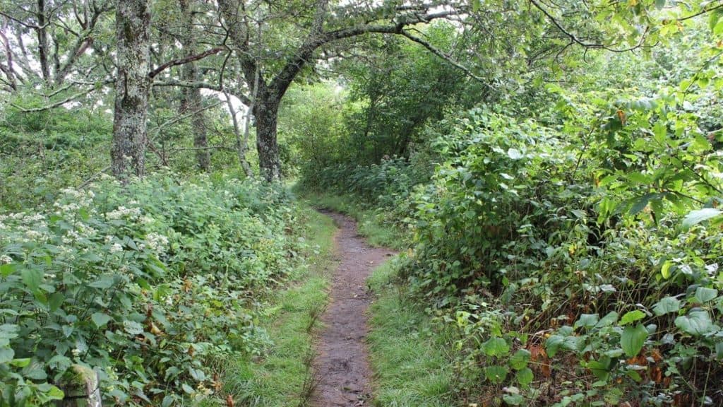 ModerateBuck Springs Trail6.2 mi · 3.5 hr · 1.1 mi awayShaded Pisgah forest shuttle with wildflowers and stream crossings
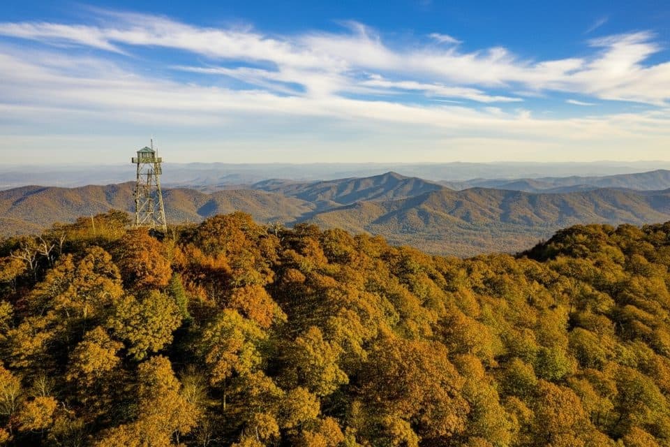 ModerateFryingpan Mountain Tower Trail1.5 mi · 48 min · 2 mi awayShort gravel climb to WNC’s tallest fire tower and sweeping views
 EasySecond Falls Trail0.7 mi · 45 min · 8.8 mi awayShort, stair-stepped walk to a photogenic waterfall and pool
 ModerateGraveyard Fields Loop Trail3.2 mi · 2.5 hr · 8.8 mi awayTwo waterfalls and open meadows on a high-elevation loop
 ModerateUpper Falls Trail3.2 mi · 2.5 hr · 8.8 mi awayShort, berry-lined stroll to a photogenic two-tiered waterfall.
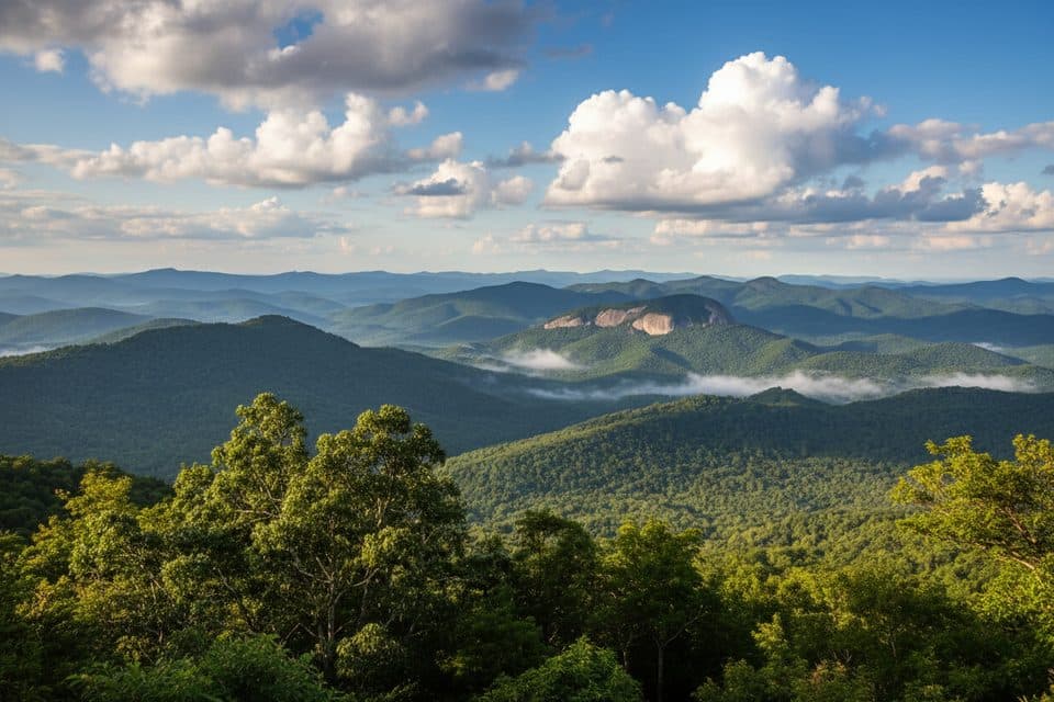 ChallengingLooking Glass Rock Trail6.4 mi · 3.5 hr · 9 mi awaySteady switchbacks to a broad granite perch with big Blue Ridge views
 ChallengingArt Loeb Trail30.1 mi · 18 hr · 9.5 mi awayA strenuous 30.1-mile point-to-point traverse of forests, balds, and Shining Rock high country
 ModerateTennent Mountain Loop5 mi · 2.5 hr · 9.9 mi awayTwo open balds, big views, and a rocky five-mile loop
 Sight · 0.3 mi awaySpring HouseStone springhouse by the old Buck Springs Lodge ruins
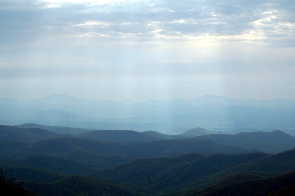 Scenic pullout · 0.4 mi awayBuck Springs Gap OverlookQuiet overlook with trails and Vanderbilt lodge history
 Sight · 0.7 mi awayMount PisgahClassic summit hike with big views and a handy hub of amenities
 Lodging · 1.2 mi awayPisgah InnHistoric mountaintop lodge with big views and a beloved restaurant
 Scenic pullout · 2.3 mi awayMills River Valley Overlook (MP 404.5)Dual-sided ridge views and autumn hawk watching at a quick pullout
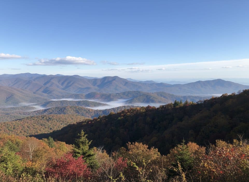 Scenic pullout · 2.7 mi awayHominy Valley (MP 404.2)Quiet pullout with layered views over Hominy Valley
 Scenic pullout · 3.1 mi awayBig Ridge Overlook (MP 403.6)Layered ridge views with easy access to MST and Shut-In trails
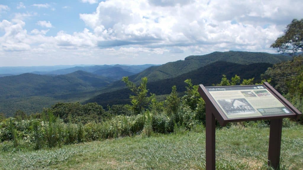 Scenic pullout · 3.2 mi awayThe Cradle of Forestry Overlook (MP 411.0)Wide Pisgah vistas with a nod to America’s forestry roots
Parkwolf’s Blue Ridge Parkway ranking
The audio tour guide for the drive, plus offline maps, trails, and wildlife heatmaps for when the signal drops.



