Parking
Start at the Buck Spring Trailhead in the Pisgah Inn parking lot, near the large map board and Mountains-to-Sea Trail signage. The US 276 terminus is approximately 3 miles south of the Blue Ridge Parkway and has room for about four vehicles.
Blue Ridge Parkway, NC · VA
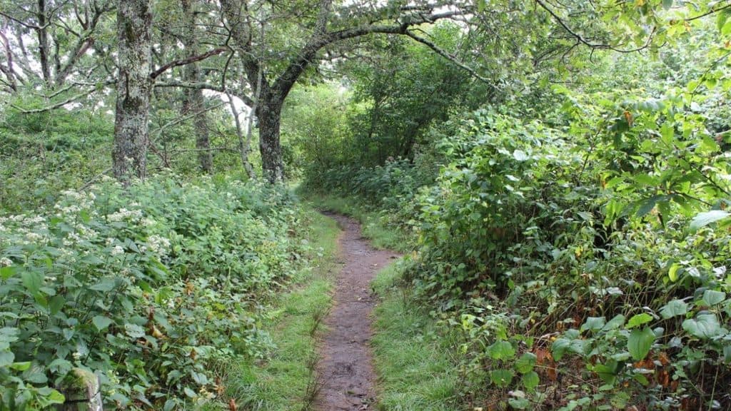
Shaded Pisgah forest shuttle with wildflowers and stream crossings
Overview
Buck Spring Trail is a 6.2-mile point-to-point walk through Pisgah National Forest between the Pisgah Inn area on the Blue Ridge Parkway and a small US 276 pullout above Pink Beds. The stored route follows the physical corridor once from the Pisgah Inn trailhead southwest to US 276; it is not a round trip. Most hikers arrange a shuttle between the two ends.
 Parkwolf’s verdictWhy hike this trail
Map & elevation
Plan your hike

The highest, rockiest slopes around here are a summer buffet for grizzly bears.
Blue Ridge Parkway Tour Guide
Parkwolf is a GPS audio tour guide for Blue Ridge Parkway. As you drive, it chimes in with what’s ahead: hidden gems, upcoming stops, history, geology, and wildlife, right through your car’s speakers.
See the Blue Ridge Parkway audio tourRecorded for this area
Pisgah Inn: A Lodge Above the Clouds“The buildings you're seeing ahead are part of the Pisgah Inn, the classic high-elevation lodge on the Parkway. This is one of the few places with a motel and a full-service restaurant for miles.”
Plays near this trailhead in the Parkwolf Blue Ridge Parkway Tour Guide.
More stories near here in the app
“…We knew we wanted to drive the Blue Ridge Parkway. The narration was impeccably timed. The facts and info provided were meaningful. Without it, the trip would not have been near as awesome.”


Trail guide
This is a mostly shaded forest walk along the southeast face of the ridge, with cove hardwoods, higher-elevation hardwoods, hemlock, spruce, and fir. The trail winds through coves and around ridge noses, with numerous small stream crossings and frequent wildflowers in spring and summer. Leaf-off hiking opens occasional views through the trees.
The Mountains-to-Sea Trail (MST) overlaps Buck Spring for most of the route. About a mile before US 276, watch for the split: Buck Spring turns left and west on its own easy sideslope while the MST continues uphill. The route's white blazes and the signed junction are important wayfinding cues.
The Forest Service rates Buck Spring Trail medium. From the Pisgah Inn end to US 276, the route trends downhill overall; hiking it in the opposite direction means climbing roughly 1,100 feet, with the steepest work near the Pisgah Inn end. Expect uneven, rocky, and rooty tread rather than a smooth park walk.
Wildlife
 1,208 sightingsBlack BearMost seen around 7 AMSighting map
 1,020 sightingsElkMost seen around 7 AMSighting map
 2,257 sightingsWhite-tailed DeerMost seen around 6 PMSighting map
 200 sightingsCoyoteMost seen around 6 PMSighting map
 1,126 sightingsWild TurkeyMost seen around 7 AMSighting map
 255 sightingsRed-tailed HawkMost seen around 11 AMSighting map
Sighting maps show where each species has been reported across Blue Ridge Parkway. Wildlife moves, so no sighting is guaranteed.
Keep exploring
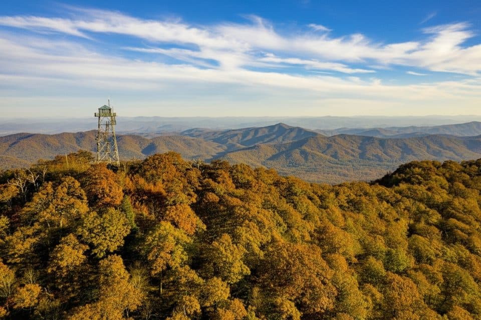 ModerateFryingpan Mountain Tower Trail1.5 mi · 48 min · 1 mi awayShort gravel climb to WNC’s tallest fire tower and sweeping views
 ModerateMount Pisgah Trail2.4 mi · 1.8 hr · 1.1 mi awayClassic Parkway summit with short, steady climb and big views
 EasySecond Falls Trail0.7 mi · 45 min · 7.7 mi awayShort, stair-stepped walk to a photogenic waterfall and pool
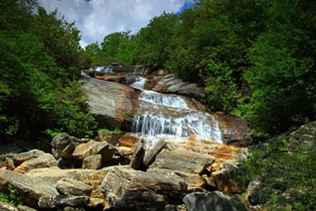 ModerateGraveyard Fields Loop Trail3.2 mi · 2.5 hr · 7.7 mi awayTwo waterfalls and open meadows on a high-elevation loop
 ModerateUpper Falls Trail3.2 mi · 2.5 hr · 7.8 mi awayShort, berry-lined stroll to a photogenic two-tiered waterfall.
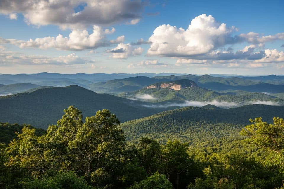 ChallengingLooking Glass Rock Trail6.4 mi · 3.5 hr · 7.8 mi awaySteady switchbacks to a broad granite perch with big Blue Ridge views
 ChallengingArt Loeb Trail30.1 mi · 18 hr · 8.5 mi awayA strenuous 30.1-mile point-to-point traverse of forests, balds, and Shining Rock high country
 ModerateTennent Mountain Loop5 mi · 2.5 hr · 8.9 mi awayTwo open balds, big views, and a rocky five-mile loop
 Lodging · At the trailheadPisgah InnHistoric mountaintop lodge with big views and a beloved restaurant
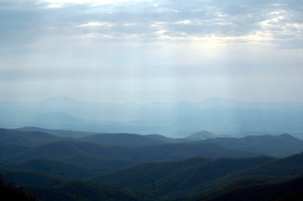 Scenic pullout · 0.7 mi awayBuck Springs Gap OverlookQuiet overlook with trails and Vanderbilt lodge history
 Sight · 0.8 mi awaySpring HouseStone springhouse by the old Buck Springs Lodge ruins
 Sight · 1.6 mi awayMount PisgahClassic summit hike with big views and a handy hub of amenities
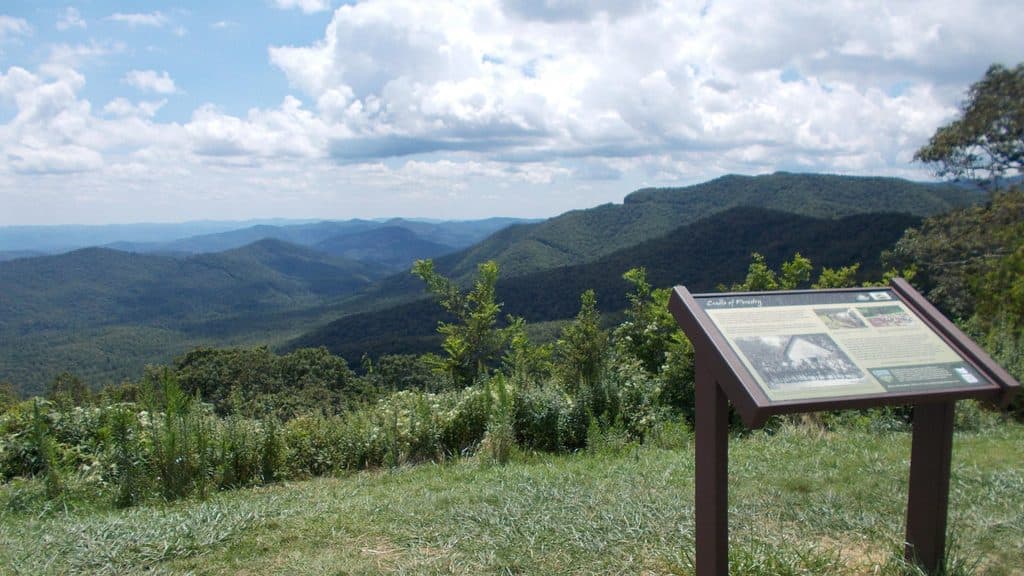 Scenic pullout · 2.1 mi awayThe Cradle of Forestry Overlook (MP 411.0)Wide Pisgah vistas with a nod to America’s forestry roots
 Scenic pullout · 3.4 mi awayMills River Valley Overlook (MP 404.5)Dual-sided ridge views and autumn hawk watching at a quick pullout
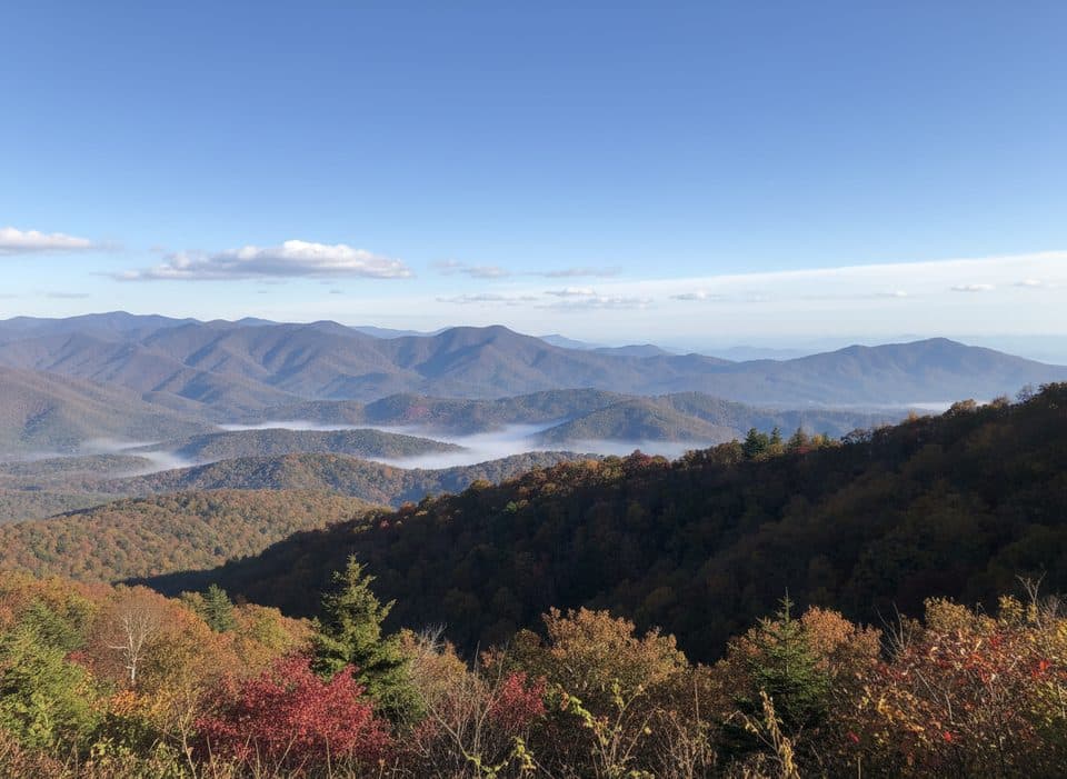 Scenic pullout · 3.7 mi awayHominy Valley (MP 404.2)Quiet pullout with layered views over Hominy Valley
 Scenic pullout · 3.8 mi awayPounding Mill Overlook (MP 413.2)Big sunrise views with Looking Glass Rock front and center
Parkwolf’s Blue Ridge Parkway ranking
The audio tour guide for the drive, plus offline maps, trails, and wildlife heatmaps for when the signal drops.



