Parking
Park at the Graveyard Fields Overlook on the Blue Ridge Parkway at milepost 418.8; the National Park Service identifies the trailhead near the vault toilets in the overlook nps.gov.

Blue Ridge Parkway, NC · VA
Short, berry-lined stroll to a photogenic two-tiered waterfall.
Overview
This out-and-back starts at the Graveyard Fields Overlook trailhead near the vault toilets at Blue Ridge Parkway milepost 418.8, then follows the signed Graveyard Fields Loop Trail through the open meadow before branching onto the Graveyard Upper Falls Trail to the two-tiered falls. The Forest Service places Upper Falls 1.6 miles from the trailhead; this stored corridor follows that route and returns the same way for 3.2 miles total fs.usda.gov. The National Park Service confirms that both waterfalls are accessed from the trailhead near the vault toilets in the Parkway overlook nps.gov.
The mapped one-way corridor is about 1.56 miles, while the visitor distance is 3.2 miles round trip. Plan on roughly 2 to 2.5 hours for the full outing, with about 400 feet of total elevation change. Surfaces include short paved and stepped sections near the overlook, packed dirt, boardwalks, rooty trail, and a rougher, often muddy approach near the falls. The final section can be slick and wet, especially after rain fs.usda.gov.
Navigation is generally straightforward if you follow the signed route and the Upper Falls spur, but junctions and social paths around the meadow can be confusing—photograph the trailhead map before starting. The base of the falls is the destination; rocks around the water are slick year-round. Spring wildflowers, late-summer berries, and fall color make the open setting especially scenic, but the meadow has more sun exposure than most Parkway hikes.
The overlook has a large parking area and restrooms. No permit or entry fee is required for the Parkway trailhead, and dogs are allowed on leash under Parkway rules nps.gov. Keep dogs close in bear country, carry water, and expect crowded parking on summer and fall weekends.
Map & elevation
Plan your hike

The highest, rockiest slopes around here are a summer buffet for grizzly bears.
Blue Ridge Parkway Tour Guide
Parkwolf is a GPS audio tour guide for Blue Ridge Parkway. As you drive, it chimes in with what’s ahead: hidden gems, upcoming stops, history, geology, and wildlife, right through your car’s speakers.
See the Blue Ridge Parkway audio tourRecorded for this trailhead
Graveyard Fields: Waterfalls and Wild Blueberries“You're about to reach Graveyard Fields, one of the most popular stops on the entire Parkway.”
Plays as you drive up to this trailhead in the Parkwolf Blue Ridge Parkway Tour Guide.
More stories near here in the app
“…We knew we wanted to drive the Blue Ridge Parkway. The narration was impeccably timed. The facts and info provided were meaningful. Without it, the trip would not have been near as awesome.”


Wildlife
 1,208 sightingsBlack BearMost seen around 7 AMSighting map
 1,020 sightingsElkMost seen around 7 AMSighting map
 2,257 sightingsWhite-tailed DeerMost seen around 6 PMSighting map
 200 sightingsCoyoteMost seen around 6 PMSighting map
 1,126 sightingsWild TurkeyMost seen around 7 AMSighting map
 255 sightingsRed-tailed HawkMost seen around 11 AMSighting map
Sighting maps show where each species has been reported across Blue Ridge Parkway. Wildlife moves, so no sighting is guaranteed.
Keep exploring
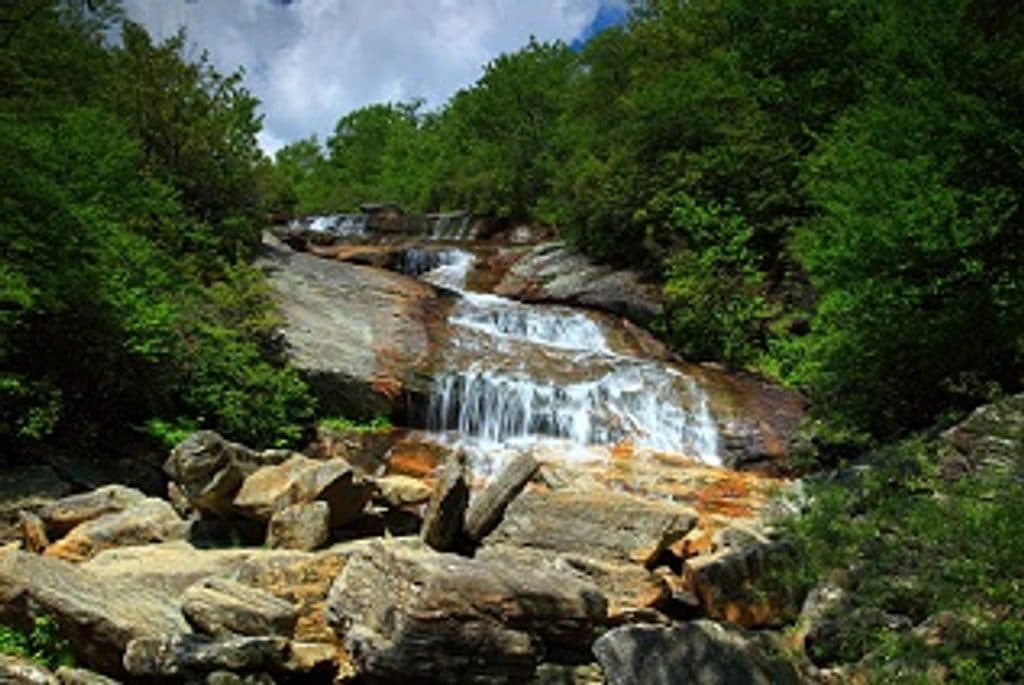 ModerateGraveyard Fields Loop Trail3.2 mi · 2.5 hr · At the trailheadTwo waterfalls and open meadows on a high-elevation loop
 EasySecond Falls Trail0.7 mi · 45 min · At the trailheadShort, stair-stepped walk to a photogenic waterfall and pool
 ModerateTennent Mountain Loop5 mi · 2.5 hr · 1.6 mi awayTwo open balds, big views, and a rocky five-mile loop
 ModerateBlack Balsam Knob via Art Loeb1.6 mi · 1 hr · 1.6 mi awayShort out-and-back climb to a 6,214-foot bald with sweeping 360-degree views
 ModerateSam Knob Trail2.5 mi · 1.3 hr · 2 mi awayA short climb to a high bald with wide Blue Ridge views.
 ModerateDevil's Courthouse Trail1 mi · 1 hr · 3.2 mi awayA steep, mostly paved climb from the Parkway to a four-state panorama.
 ModerateFlat Laurel Creek Trail3.7 mi · 3.5 hr · 3.6 mi awayA creekside route from NC 215 to Black Balsam’s high country
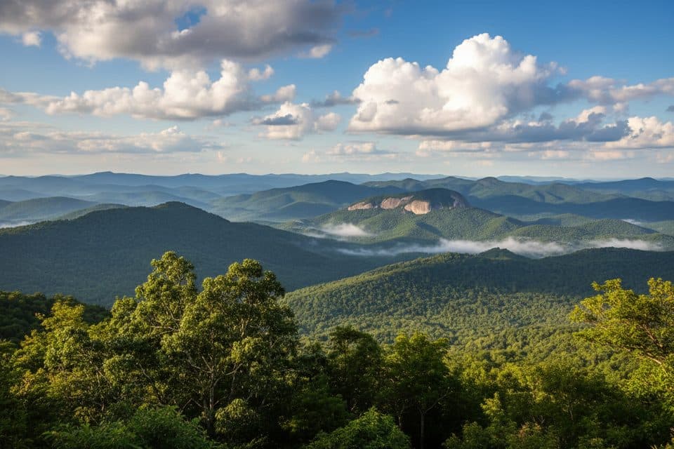 ChallengingLooking Glass Rock Trail6.4 mi · 3.5 hr · 4.5 mi awaySteady switchbacks to a broad granite perch with big Blue Ridge views
 Trailhead · At the trailheadGraveyard FieldsOpen high-elevation valley with waterfalls and August blueberries
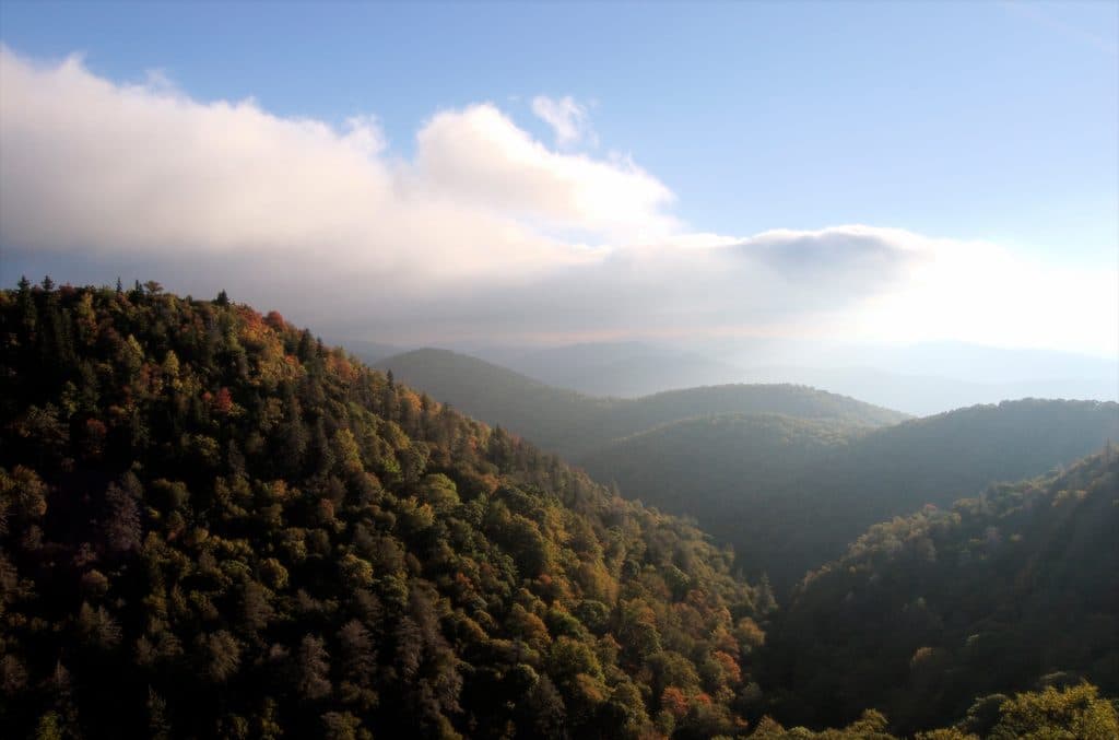 Scenic pullout · 0.4 mi awayEast Fork OverlookClose-up mountain layers with haunting American chestnut snags
 Scenic pullout · 1.1 mi awayLooking Glass Rock OverlookClassic view of Looking Glass Rock’s shimmering granite dome
 Sight · 3 mi awayDevil's CourthouseShort, steep climb to a cliff-top panorama across four states
 Scenic pullout · 4 mi awayPounding Mill Overlook (MP 413.2)Big sunrise views with Looking Glass Rock front and center
 Scenic pullout · 5.1 mi awayWolf Mountain Overlook (MP 424.8)Overlook with layered ridges and a rare roadside hanging garden
 Scenic pullout · 5.5 mi awayRough Butt Bald Overlook (MP 425.4)High-elevation pullout with ridgeline views and a two-hump namesake
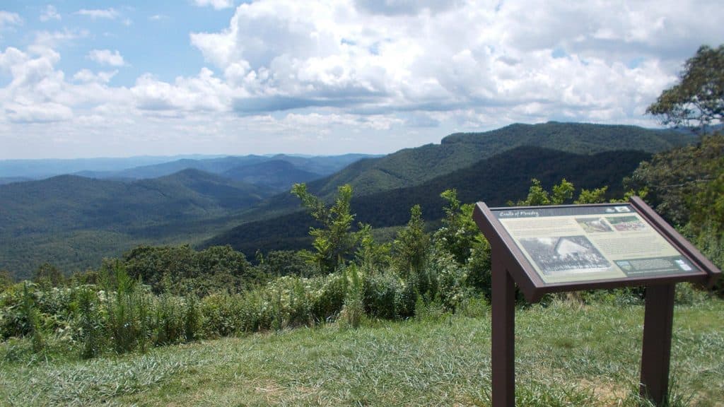 Scenic pullout · 5.6 mi awayThe Cradle of Forestry Overlook (MP 411.0)Wide Pisgah vistas with a nod to America’s forestry roots
Parkwolf’s Blue Ridge Parkway ranking

The audio tour guide for the drive, plus offline maps, trails, and wildlife heatmaps for when the signal drops.




