Parking
Small gravel pull-off by the gate on FS 450 just off the Blue Ridge Parkway; if full, park on the shoulder completely off the road and do not block the gate.
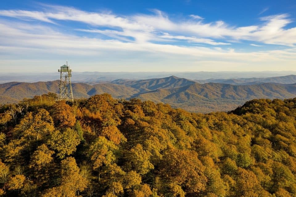
Blue Ridge Parkway, NC · VA
Short gravel climb to WNC’s tallest fire tower and sweeping views
Overview
If you want huge views for minimal effort, this short, steady climb pays off fast. The 1.5-mile round-trip, out-and-back follows a gated gravel service road to the historic Fryingpan Mountain Fire Tower, delivering panoramic vistas of Pisgah National Forest and nearby peaks like Mount Pisgah, Cold Mountain, and Looking Glass Rock. It’s a quick win that’s especially great for visitors, families, and anyone with limited time.
 Parkwolf’s verdictWhy hike this trail
Map & elevation
Plan your hike

The highest, rockiest slopes around here are a summer buffet for grizzly bears.
Blue Ridge Parkway Tour Guide
Parkwolf is a GPS audio tour guide for Blue Ridge Parkway. As you drive, it chimes in with what’s ahead: hidden gems, upcoming stops, history, geology, and wildlife, right through your car’s speakers.
See the Blue Ridge Parkway audio tourRecorded for this trailhead
Fryingpan Tower Hike: Big Views for a Short Climb“The pull-off ahead is for the Fryingpan Mountain hike. If you're looking for a walk with a huge reward, this is one of the best. The path follows a gravel service road for about three-quarters of a mile to the top.”
Plays as you drive up to this trailhead in the Parkwolf Blue Ridge Parkway Tour Guide.
More stories near here in the app
“…We knew we wanted to drive the Blue Ridge Parkway. The narration was impeccably timed. The facts and info provided were meaningful. Without it, the trip would not have been near as awesome.”


Trail guide
From a gate on Forest Service Road 450 just off the Blue Ridge Parkway, the route climbs a wide gravel road with about 351 feet of elevation gain. Expect a steady grade with a brief leveling around the half-mile mark before the final push to the summit area at roughly 5,340 feet. Navigation is as easy as it gets—follow the road to the tower. Near the top you’ll pass large radio towers; heed posted signs and avoid any restricted areas.
The steel fire tower rises about 70 feet above the summit, making this one of the region’s most commanding viewpoints even if you only enjoy the scene from the base or first flights of stairs. On clear days, you’ll get true 360-degree scenery across the Blue Ridge Parkway and deep into Pisgah’s rolling ridges and valleys. Spring and summer often bring roadside wildflowers along the gravel approach, and the forest mix includes rhododendron and hardwoods.
This is a moderate hike primarily because of the steady uphill, but the short distance and wide surface make it doable for most hikers. Dogs are allowed on leash. If you’re introducing someone to mountain hiking, this is a confidence-building first outing with a massive payoff.
Climbing the fire tower is at your own risk. It’s exposed and can be very windy; if you’re uneasy with heights, enjoy the panorama from the base. The road surface is unpaved with some loose gravel. There’s no formal lot and the route is not wheelchair accessible. No permits or fees are required for this hike.
Wildlife
 1,208 sightingsBlack BearMost seen around 7 AMSighting map
 1,020 sightingsElkMost seen around 7 AMSighting map
 2,257 sightingsWhite-tailed DeerMost seen around 6 PMSighting map
 200 sightingsCoyoteMost seen around 6 PMSighting map
 1,126 sightingsWild TurkeyMost seen around 7 AMSighting map
 255 sightingsRed-tailed HawkMost seen around 11 AMSighting map
Sighting maps show where each species has been reported across Blue Ridge Parkway. Wildlife moves, so no sighting is guaranteed.
Keep exploring
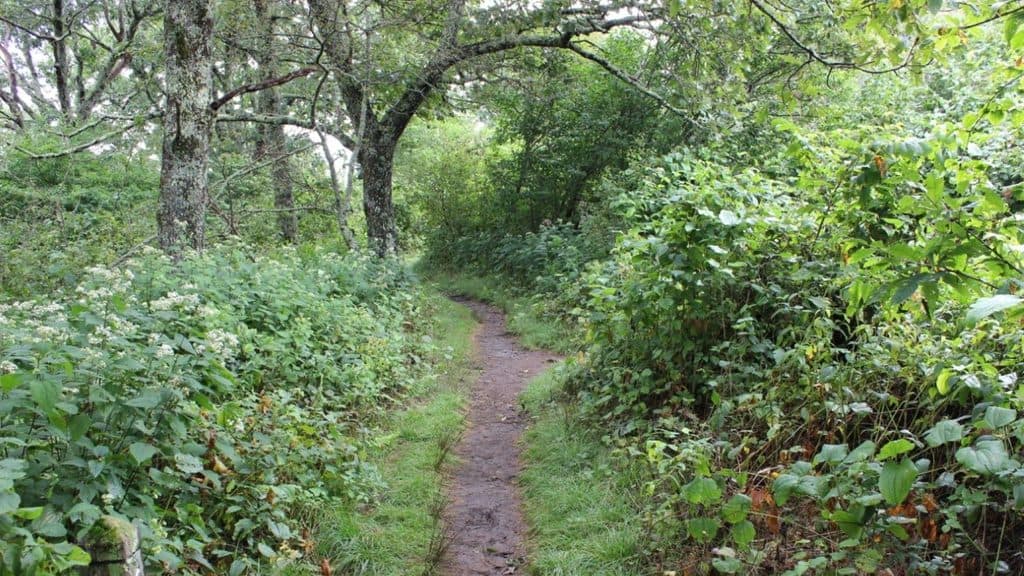 ModerateBuck Springs Trail6.2 mi · 3.5 hr · 1 mi awayShaded Pisgah forest shuttle with wildflowers and stream crossings
 ModerateMount Pisgah Trail2.4 mi · 1.8 hr · 2 mi awayClassic Parkway summit with short, steady climb and big views
 EasySecond Falls Trail0.7 mi · 45 min · 6.8 mi awayShort, stair-stepped walk to a photogenic waterfall and pool
 ModerateGraveyard Fields Loop Trail3.2 mi · 2.5 hr · 6.8 mi awayTwo waterfalls and open meadows on a high-elevation loop
 ModerateUpper Falls Trail3.2 mi · 2.5 hr · 6.8 mi awayShort, berry-lined stroll to a photogenic two-tiered waterfall.
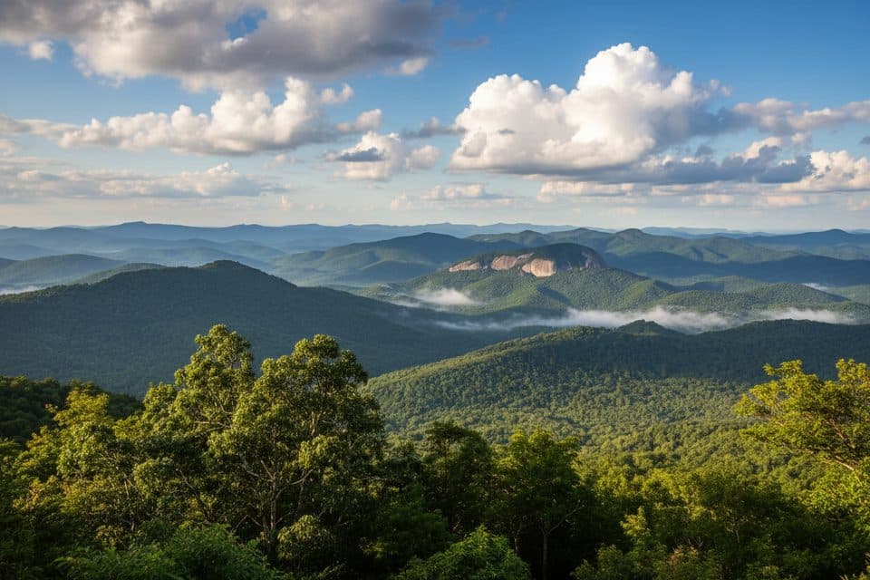 ChallengingLooking Glass Rock Trail6.4 mi · 3.5 hr · 7.2 mi awaySteady switchbacks to a broad granite perch with big Blue Ridge views
 ModerateTennent Mountain Loop5 mi · 2.5 hr · 8 mi awayTwo open balds, big views, and a rocky five-mile loop
 ModerateBlack Balsam Knob via Art Loeb1.6 mi · 1 hr · 8 mi awayShort out-and-back climb to a 6,214-foot bald with sweeping 360-degree views
 Lodging · 1 mi awayPisgah InnHistoric mountaintop lodge with big views and a beloved restaurant
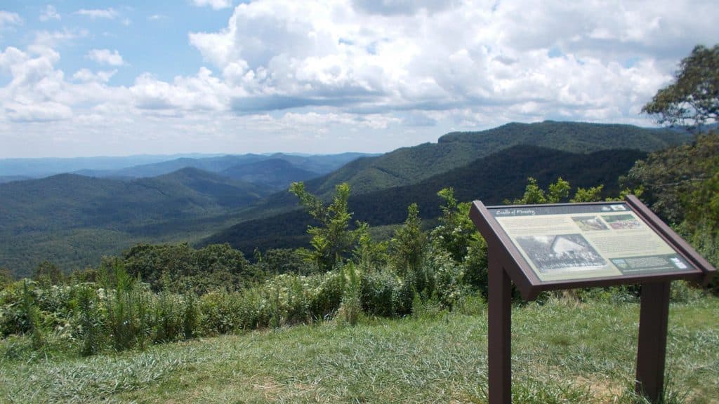 Scenic pullout · 1.2 mi awayThe Cradle of Forestry Overlook (MP 411.0)Wide Pisgah vistas with a nod to America’s forestry roots
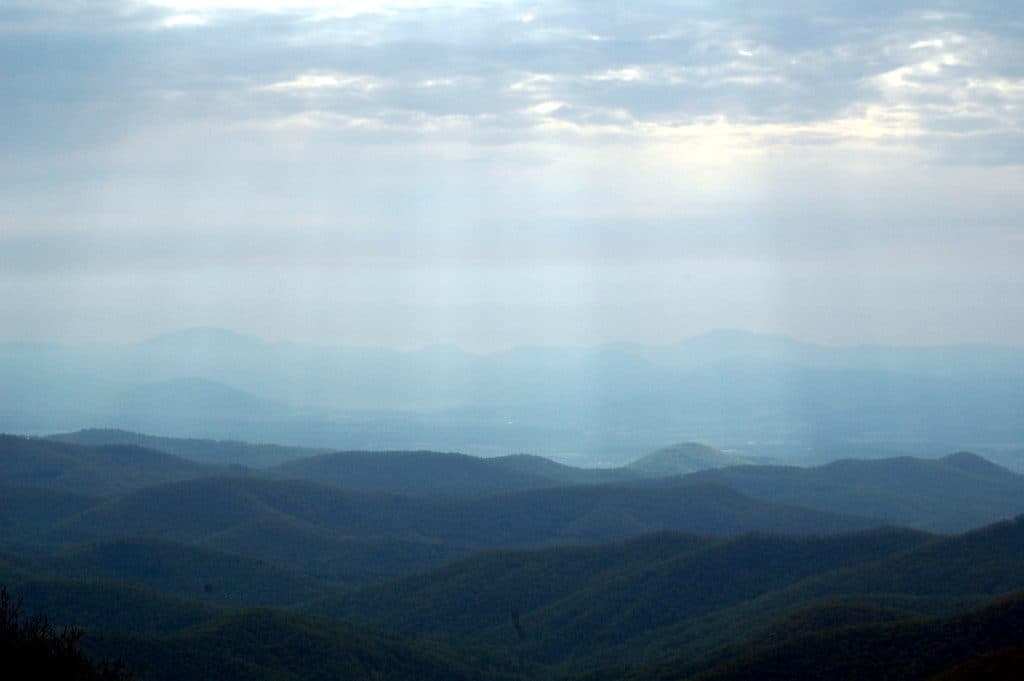 Scenic pullout · 1.6 mi awayBuck Springs Gap OverlookQuiet overlook with trails and Vanderbilt lodge history
 Sight · 1.7 mi awaySpring HouseStone springhouse by the old Buck Springs Lodge ruins
 Sight · 2.2 mi awayMount PisgahClassic summit hike with big views and a handy hub of amenities
 Scenic pullout · 3 mi awayPounding Mill Overlook (MP 413.2)Big sunrise views with Looking Glass Rock front and center
 Scenic pullout · 4.3 mi awayMills River Valley Overlook (MP 404.5)Dual-sided ridge views and autumn hawk watching at a quick pullout
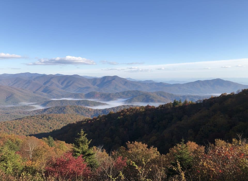 Scenic pullout · 4.6 mi awayHominy Valley (MP 404.2)Quiet pullout with layered views over Hominy Valley
Parkwolf’s Blue Ridge Parkway ranking
The audio tour guide for the drive, plus offline maps, trails, and wildlife heatmaps for when the signal drops.




