
Place · 3.6 mi away
Challenging
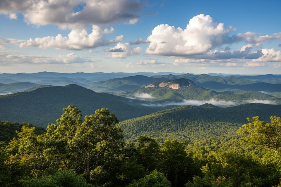
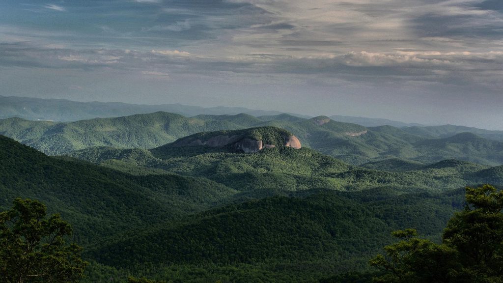
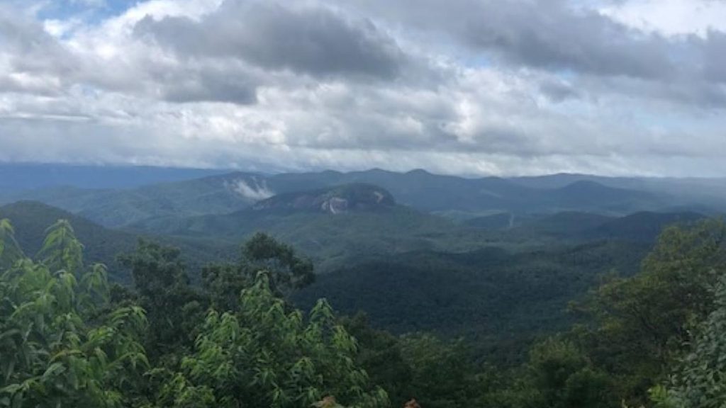
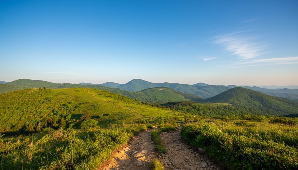
A sustained, switchback-heavy climb through lush hardwood forest leads to open granite at the top of Looking Glass Rock. It’s a popular, moderately strenuous outing with a real summit feel and sweeping, unobstructed vistas across the Blue Ridge.
Plan for about 6.4 miles total, out-and-back, with roughly 1,650–1,700 feet of elevation gain. Most of the grade is steady rather than technical, thanks to many switchbacks, but the final approach is steeper. Expect 3–4.5 hours round-trip depending on pace and stops.
The namesake rock is a massive granite pluton. After rain or winter icing, the face can shine like a mirror—hence “Looking Glass.” From the summit slabs, you’ll look out over layered ridges and valleys, including toward the Blue Ridge Parkway. Keep an eye skyward: this is a prime nesting area for peregrine falcons in spring and early summer.
The trailhead sits on FS 475/Fish Hatchery Road near Brevard (Pisgah National Forest). Parking is limited and fills early on weekends. There are no restrooms at the trailhead; the nearest facilities are at Coontree Picnic Area or the Pisgah Center for Wildlife Education. The path is well blazed and easy to follow, but the tread is rocky/rooty in spots and the summit is exposed rock.
March–November offers the most reliable conditions and biggest views, with peak use in fair weather. Winter can be beautiful and quiet, but the summit slabs can glaze with ice—bring traction and use extra caution. For lighter crowds and softer light, go early morning or late afternoon on weekdays. If you want a roadside preview or a post-hike photo stop, the Blue Ridge Parkway’s Looking Glass Rock Overlook frames the monolith across the valley.
Arrive early, bring plenty of water and snacks, and consider hiking poles for the descent. Dogs are allowed on leash. Pair this hike with nearby waterfalls like Looking Glass Falls, Moore Cove Falls, or Sliding Rock Falls for a full Pisgah day.
The summit has sheer drop-offs and no railings—enjoy the view from a safe distance. Wet or icy granite is extremely slick. Heed any seasonal closures for peregrine nesting, and turn around if thunderstorms threaten.
Small lot on FS 475/Fish Hatchery Road near Brevard; no restrooms. Nearest facilities are at Coontree Picnic Area or Pisgah Center for Wildlife Education.
Sheer drop-offs on exposed summit slabs; wet or icy granite is very slick. Limited parking. Watch for seasonal peregrine falcon nesting closures.
Place · 3.6 mi away
Place · 4.1 mi away
Place · 4.5 mi away
Place · 4.7 mi away
Challenging · 3.2 mi away
Moderate · 4.5 mi away
Moderate · 4.5 mi away
Moderate · 6 mi away

Parkwolf Tour Guide
