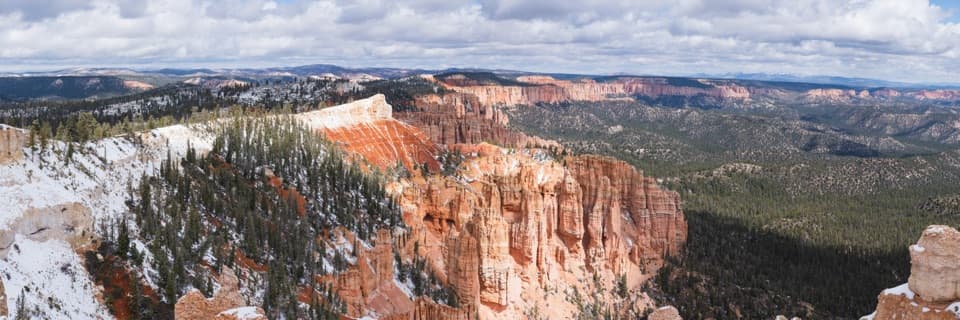
Bryce Point

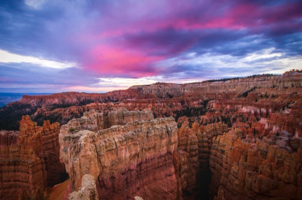
Best sunrise panorama over a sea of hoodoos
Bryce Point, Bryce Canyon National Park
InsideBryce Canyon National Park

Overview

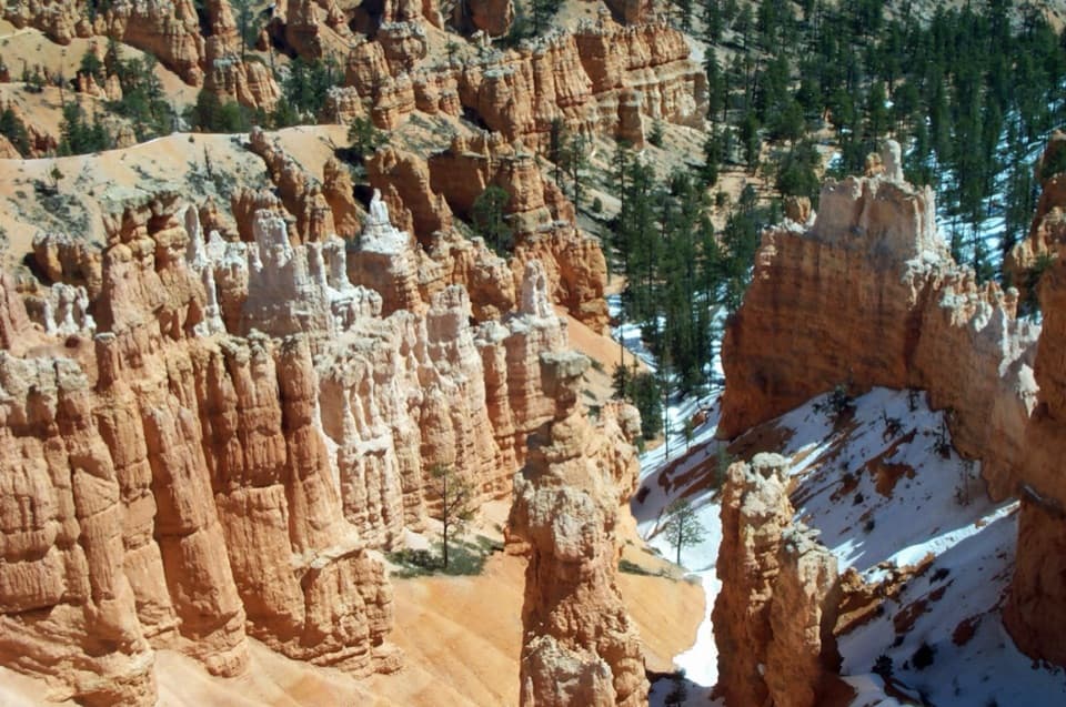
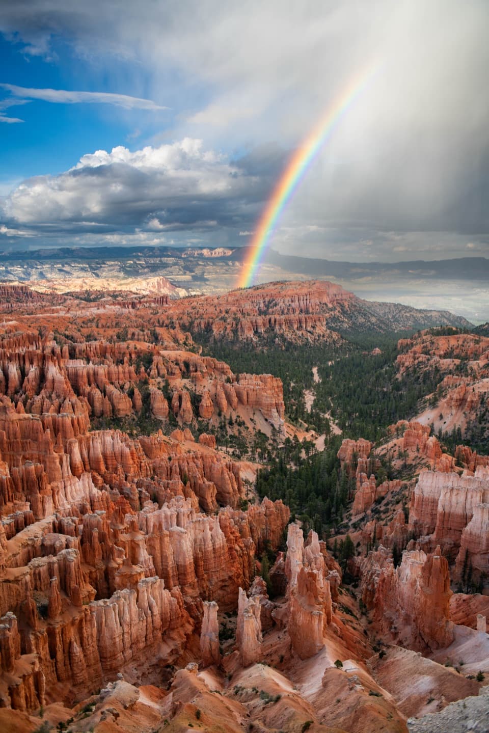
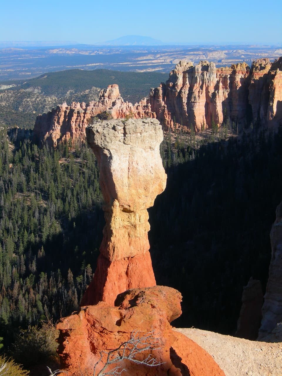
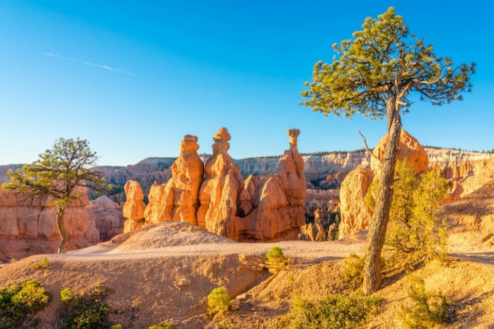
Bryce Point sits around 8,300 feet at the end of a short spur road and looks straight across the Bryce Amphitheater — a massive bowl crowded with thousands of fiery hoodoos. It’s one of the highest and grandest overlooks here, beloved by photographers for the way first light pours across the formations.

What You’ll See

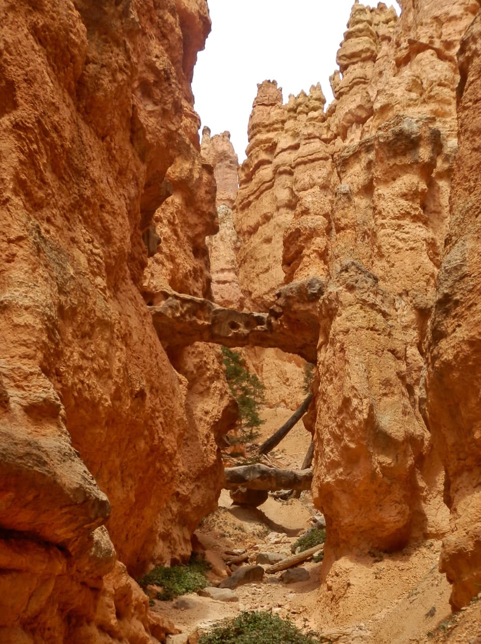
  • A sea of hoodoos and intricate rock mazes like the Silent City and Wall of Windows, with Boat Mesa anchoring the skyline.
  • Wide, uninterrupted views that also frame neighboring rim viewpoints.
  • In season, watch for splashes of color from the endemic Bryce Canyon paintbrush.

Why It’s Special

This is a sunrise showpiece. As the sun clears the horizon, the amphitheater glows orange and pink, revealing texture you simply don’t see from lower viewpoints. It’s a top photo stop and a perspective setter for the whole park.

Trails From Here

  • Peekaboo Loop Trail (strenuous, about 5.5 miles): Drops from the rim into the heart of the hoodoos for up‑close views — start early for cooler temps and lighter crowds.
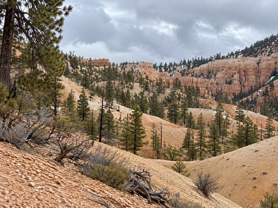
  • Rim Trail: Connects along the rim from the overlook, letting you wander the edge for new angles without committing to a big descent.

Best Time to Visit

  • Sunrise is the headline moment — best light and usually fewer people than late morning.
  • Midday to late afternoon is typically the busiest; arrive early or late to dodge the peak.
  • Open year‑round, but in winter the access road can close temporarily after storms; conditions change fast at this elevation.

Practicalities

  • There’s a dedicated parking area with a short paved walk to the platform, but spaces go fast.
  • Restrooms are available, but there’s no water here — bring your own.
  • Layer up and take it slow if you’re sensitive to altitude; the thin, dry air and strong sun can surprise you.
  • Most visits are brief — many people stay about 30 minutes if not hiking.

Wildlife

Keep an eye out for golden‑mantled ground squirrels and Uinta chipmunks around the rim. Birders sometimes spot ospreys riding thermals, and there’s a slim chance of seeing a California condor overhead.

History & Geology

Named for Ebenezer Bryce, a pioneer who settled the area in the 1870s, the overlook peers into rocks of the Claron Formation — pastel limestones, siltstones, and mudstones sculpted into hoodoos by freeze‑thaw and rain. Bryce Point’s rim holds a resistant caprock similar to Boat Mesa, with distant volcanic highlands visible on clear days.

Pros

  • Iconic sunrise vantage over the Bryce Amphitheater
  • Trailhead for Peekaboo Loop and the Rim Trail

Cons

  • Parking lot fills quickly and crowds gather at popular times
  • Winter snow/ice can temporarily close the spur road

Tips

  • Arrive well before sunrise for the best light and a parking spot.
  • Use the park shuttle in summer to avoid parking hassles.
  • Carry water; there’s no water available at the point.
  • Layer up — at ~8,300 feet, mornings can be sharp and windy.
  • If snow or ice is in the forecast, check road conditions; closures happen.
The Parkwolf tour guide sitting on a phone mounted in a car

Parkwolf Tour Guide

Like a tour guide in your car.

Save the places you found around Bryce Canyon, then let Parkwolf guide the drive between them.Download Parkwolf on the App Store