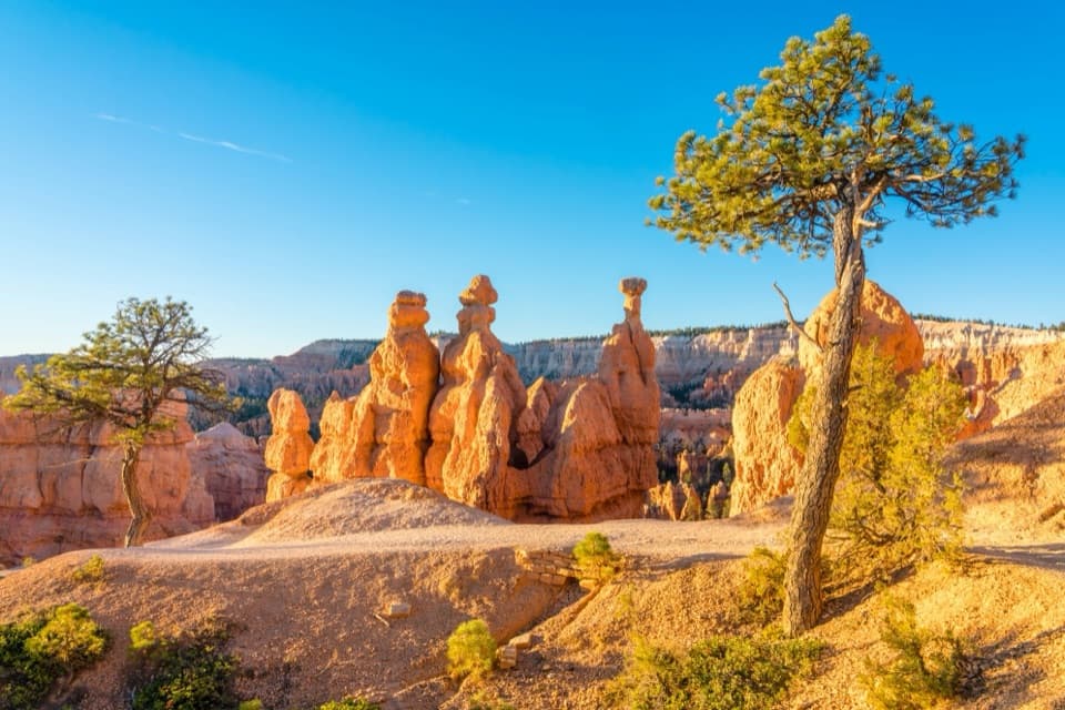
Natural Bridge in Bryce Canyon National Park

#6 of 29 sights in Bryce Canyon

Sight · Bryce Canyon National Park

Natural Bridge

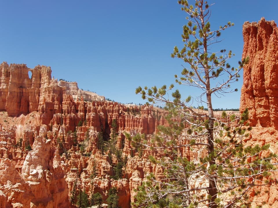
An 85-foot arch frames a pine-filled canyon.

Photo: Public Domain
Type
Sight
Nearest trail
2 mi
Audio stories
4 nearby
  • Parking
  • Pullout
  • Scenic viewpoint
  • Exhibit

Hear the audio tour

Natural Bridge: A Roadside Arch

Overview

About Natural Bridge

Why stop

  • A quick view of a large arch from the scenic drive
A natural bridge is cut through rock by flowing water. This formation is a natural arch, or window: water seeps into cracks, freezes, expands and breaks the rock apart. Chemical weathering and gravity help widen it, while a harder cap layer shelters softer rock underneath.
Parkwolf’s verdictWhy it's an arch, not a bridge

Map

Where it is

Loading the Bryce Canyon map
Full map
SightNatural Bridge37.53185, -112.26019
Keep this map with you offline in the Parkwolf app

Plan your stop

Before you go

3 active Bryce Canyon alerts

  • ClosureWall Street closed after recent rainsWall Street is closed until further notice because of recent rains. - Other park trails are open, but hikers are urged to use caution. Check current park conditions before hiking.Official details
  • CautionUnder-the-Rim Trail damage and hiker advisoryUnder-the-Rim Trail conditions are deteriorated in many places; hike at your own risk. - Use a map and be able to navigate in the backcountry; strong wayfinding skills are essential.Official details

See all 3 alerts
A park ranger sits on a dash-mounted phone, talking, as Parkwolf’s Tour Guide plays “Army Cutworm Moths: A Grizzly Bear Buffet” on Grand Loop Road below Dunraven Pass in Yellowstone
Parkwolf Tour GuideThe highest, rockiest slopes around here are a summer buffet for grizzly bears.

Bryce Canyon Tour Guide

Your drive to Natural Bridge, narrated.

Parkwolf is a GPS audio tour guide for Bryce Canyon National Park. As you drive, it chimes in with what’s ahead: hidden gems, upcoming stops, history, geology, and wildlife, right through your car’s speakers.

See the Bryce Canyon audio tour

Recorded for this place

Natural Bridge: A Roadside Arch
0:00 / 0:25
“You're approaching Natural Bridge, a quick roadside stop for an orange rock arch above a pine-filled canyon.”

Plays as you drive up to Natural Bridge in the Parkwolf Bryce Canyon Tour Guide.

More stories near here in the app

  • Agua Canyon: Trees on the Hunter
  • Farview and Piracy Point: A Break Above the Valleys
  • Ponderosa Canyon: Pines Far Below
  • Whiteman Bench Picnic Area: Life After Fire
  • 30 audio storiesacross Bryce Canyon’s roads, triggered by GPS as you drive
  • Wildlife heatmapsfor Wapiti, Utah Prairie Dog, Mule Deer, and 13 more
  • Works offlinemaps, 24 trails, 41 places, and audio download before you lose signal
  • CarPlay readysimple controls built for the drive
★★★★★
“Super fun and useful app! We especially enjoyed the guide as we drove through Bryce Canyon National Park.”
Rae607App Store review
Download Parkwolf on the App StoreGet Parkwolf on Google Play

4.7 from 8,600+ ratings

Guide

More about Natural Bridge

A roadside stop on the scenic driveNatural Bridge is an 85-foot rock arch above a pine-filled amphitheater, seen from a roadside…

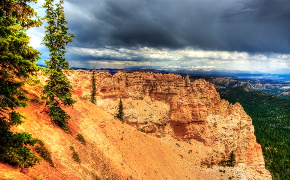
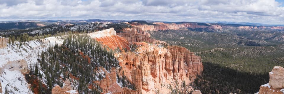
Natural Bridge is an 85-foot rock arch above a pine-filled amphitheater, seen from a roadside pullout on Bryce Canyon's scenic drive. It makes a worthwhile short stop between Farview Point and Agua Canyon, about 13 miles into the park from the entrance. The National Park Service says no trails depart from this area, so plan it as a viewpoint stop rather than a hike.

Look through the openingThe orange arch sits in the eroded edge of the Paunsaugunt Plateau.

The orange arch sits in the eroded edge of the Paunsaugunt Plateau. Look through its opening to the dark forest below, then take in the bands of red and pink rock around the amphitheater. For a photo that shows the scale, keep some of that forest in the frame instead of cropping tightly around the arch.

A landscape still changingRain and snowmelt continue to wear back the plateau edge and enlarge the opening.

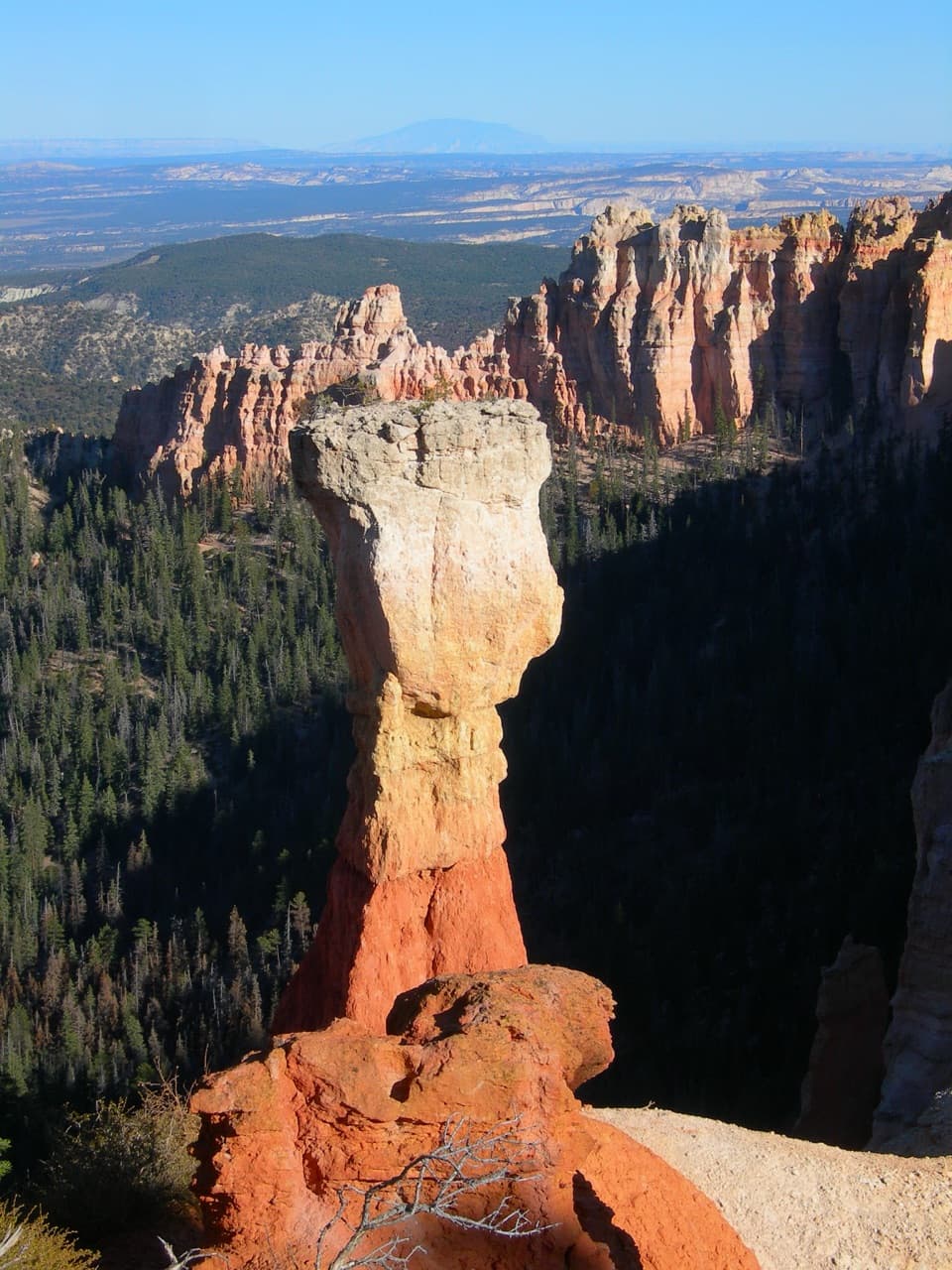
Rain and snowmelt continue to wear back the plateau edge and enlarge the opening. A small gully now runs more than 125 feet below the arch. If the caprock eventually gives way, the remaining fins will stand as hoodoos; the timing is impossible to predict.

Wildlife

Wildlife in Bryce Canyon

All Bryce Canyon wildlife maps

Sighting maps show where each species has been reported across Bryce Canyon. Wildlife moves, so no sighting is guaranteed.

Keep exploring

Near Natural Bridge

See it all on the map

Trails nearby

More stops nearby

Parkwolf’s Bryce Canyon ranking

Top sights in Bryce Canyon

All 41 places
  1. 1Bryce PointSight
  2. 2Sunset PointSight
  3. 3Inspiration PointSight
  4. 4Thor’s HammerSight
  5. 5Sunrise PointSight
  6. 7Rainbow PointSight

Take Parkwolf to Bryce Canyon.

The audio tour guide for the drive, plus offline maps, trails, and wildlife heatmaps for when the signal drops.

4.7 from 8,600+ ratings

Download Parkwolf on the App StoreGet Parkwolf on Google Play