Whiteman Bench Picnic Area in Bryce Canyon National Park

Picnic area · Bryce Canyon National Park

Whiteman Bench Picnic Area

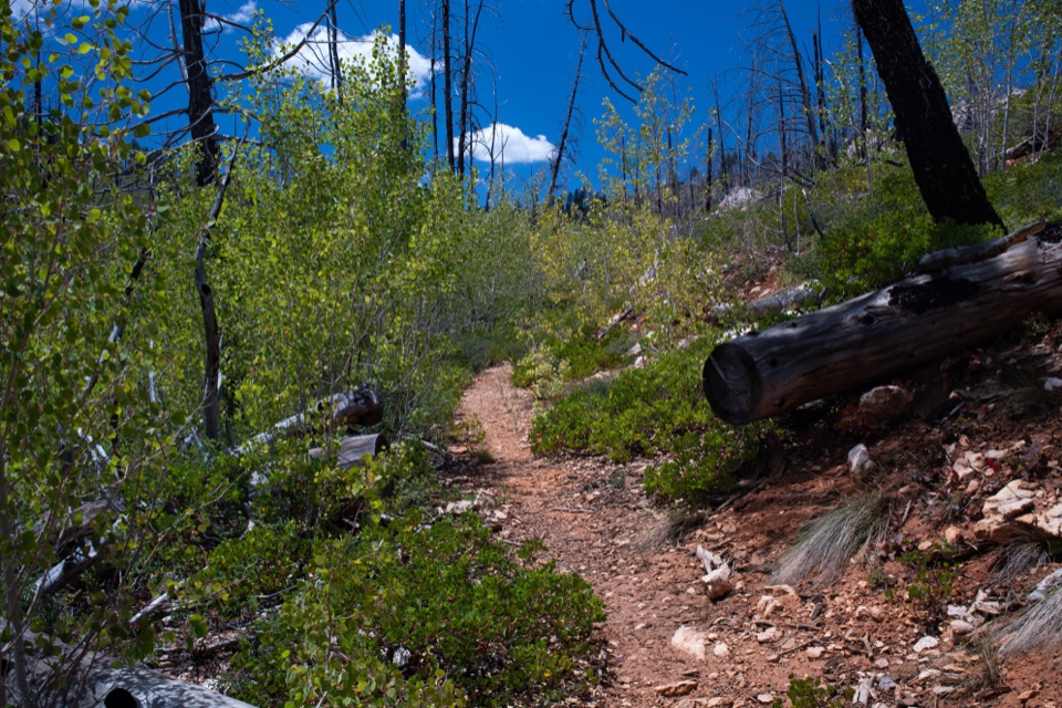
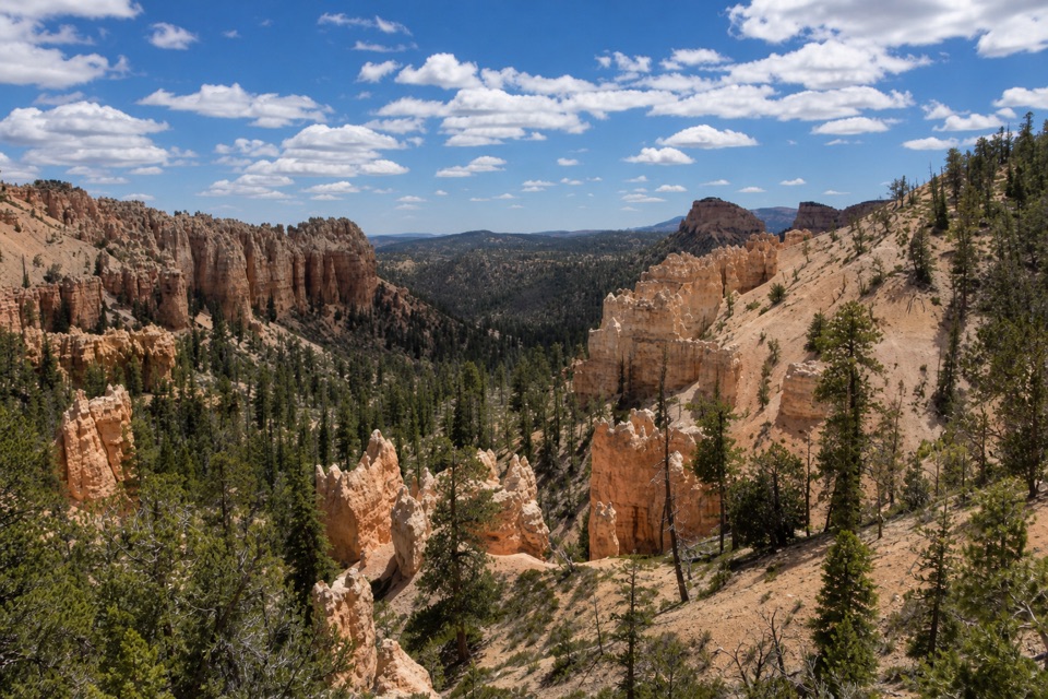
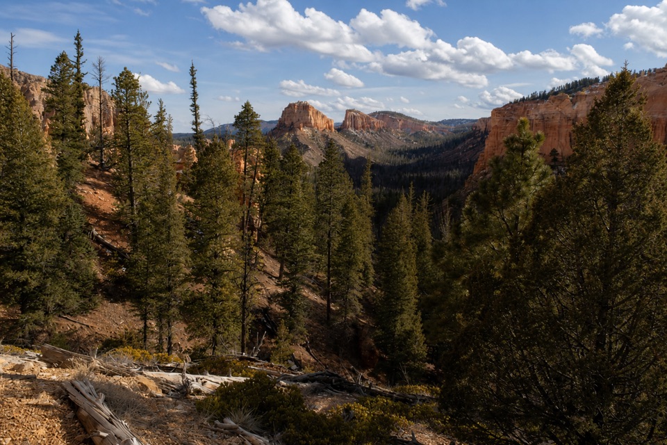
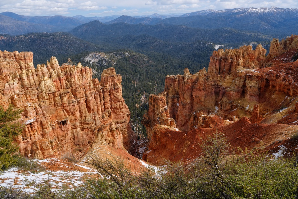
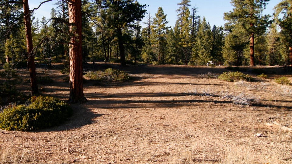
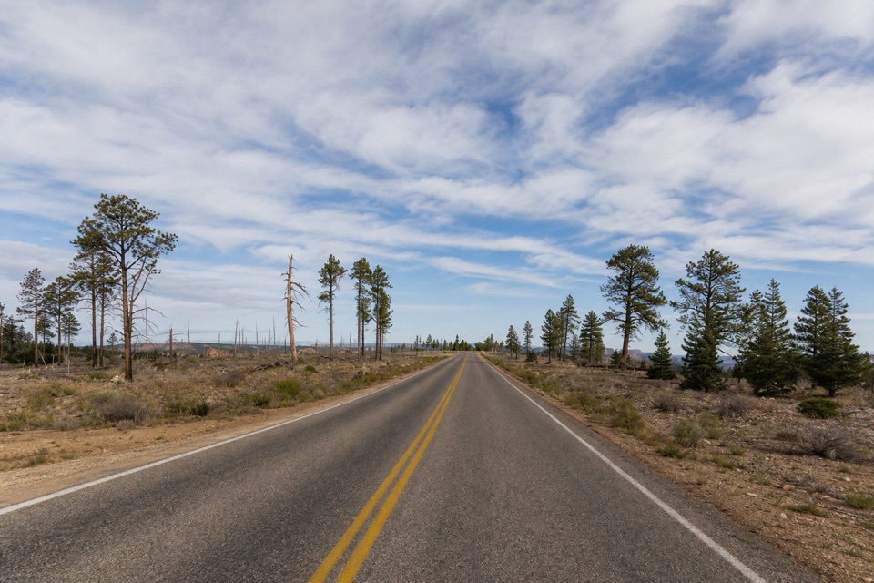
Picnic tables beside a visible story of forest recovery.

Type
Picnic area
Nearest trail
0.5 mi
Audio stories
4 nearby
  • Pullout
  • Picnic tables

Hear the audio tour

Whiteman Bench Picnic Area: Life After Fire

Overview

About Whiteman Bench Picnic Area

Why stop

  • A relaxed table stop beside a recovering fire-scarred forest.

Map

Where it is

Loading the Bryce Canyon map
Full map
Picnic areaWhiteman Bench Picnic Area37.55893, -112.24409
Keep this map with you offline in the Parkwolf app

Plan your stop

Before you go

3 active Bryce Canyon alerts

  • ClosureTrail closures due to recent weather eventWall Street and the Bryce Connector Trail to Peekaboo Loop are closed until further notice because of a recent weather event. - Do not enter these closed trails.Official details
  • CautionCurrent fire restrictionsFires are allowed only in established fire pits throughout Bryce Canyon National Park.Official details

See all 3 alerts
A park ranger sits on a dash-mounted phone, talking, as Parkwolf’s Tour Guide plays “Army Cutworm Moths: A Grizzly Bear Buffet” on Grand Loop Road below Dunraven Pass in Yellowstone
Parkwolf Tour GuideThe highest, rockiest slopes around here are a summer buffet for grizzly bears.

Bryce Canyon Tour Guide

Your drive to Whiteman Bench Picnic Area, narrated.

Parkwolf is a GPS audio tour guide for Bryce Canyon National Park. As you drive, it chimes in with what’s ahead: hidden gems, upcoming stops, history, geology, and wildlife, right through your car’s speakers.

Recorded for this place

Whiteman Bench Picnic Area: Life After Fire
0:00 / 0:20
“You're approaching Whiteman Bench Picnic Area, with tables among the scars of the two thousand nine Bridge Fire. Lightning started the fire that burned this stretch of forest.”

Plays as you drive up to Whiteman Bench Picnic Area in the Parkwolf Bryce Canyon Tour Guide.

More stories near here in the app

  • Whiteman Connecting Trail: A Wooded Walk Below the Rim
  • Farview and Piracy Point: A Break Above the Valleys
  • The Pine That Smells Like Vanilla
  • Natural Bridge: A Roadside Arch
  • 30 audio storiesacross Bryce Canyon’s roads, triggered by GPS as you drive
  • Wildlife heatmapsfor Wapiti, Utah Prairie Dog, Mule Deer, and 13 more
  • Works offlinemaps, 24 trails, 41 places, and audio download before you lose signal
  • CarPlay readysimple controls built for the drive
★★★★★
“Super fun and useful app! We especially enjoyed the guide as we drove through Bryce Canyon National Park.”
Rae607App Store review
Download Parkwolf on the App StoreGet Parkwolf on Google Play

4.7 from 8,600+ ratings

Guide

More about Whiteman Bench Picnic Area

A picnic pullout on the Southern DriveWhiteman Bench Picnic Area is a roadside stop at mile 9.

Whiteman Bench Picnic Area is a roadside stop at mile 9.5 of the 18-mile Scenic Southern Drive, with picnic tables in the 2009 Bridge Fire burn area. It makes a useful meal break and a close look at forest recovery; its appeal is modest if you are not stopping to picnic. The area is listed as wheelchair accessible, though the route to the tables and surface are not described. No site-specific water or restroom details are provided, so bring what you need.

Look across the fire scarThe Bridge Fire was Bryce Canyon's largest fire, and the visible burn stretches about 1.

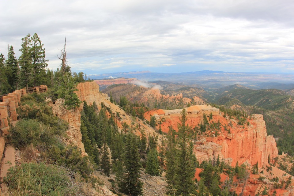
The Bridge Fire was Bryce Canyon's largest fire, and the visible burn stretches about 1.5 miles along Whiteman Bench between Swamp Canyon and Farview Point. From the pullout, burned ground, standing dead trees and surviving pines show different parts of the forest's recovery. The fire started with lightning in 2009 and entered the park about a month later.

Snags are part of the forestThe standing dead trees are called snags.

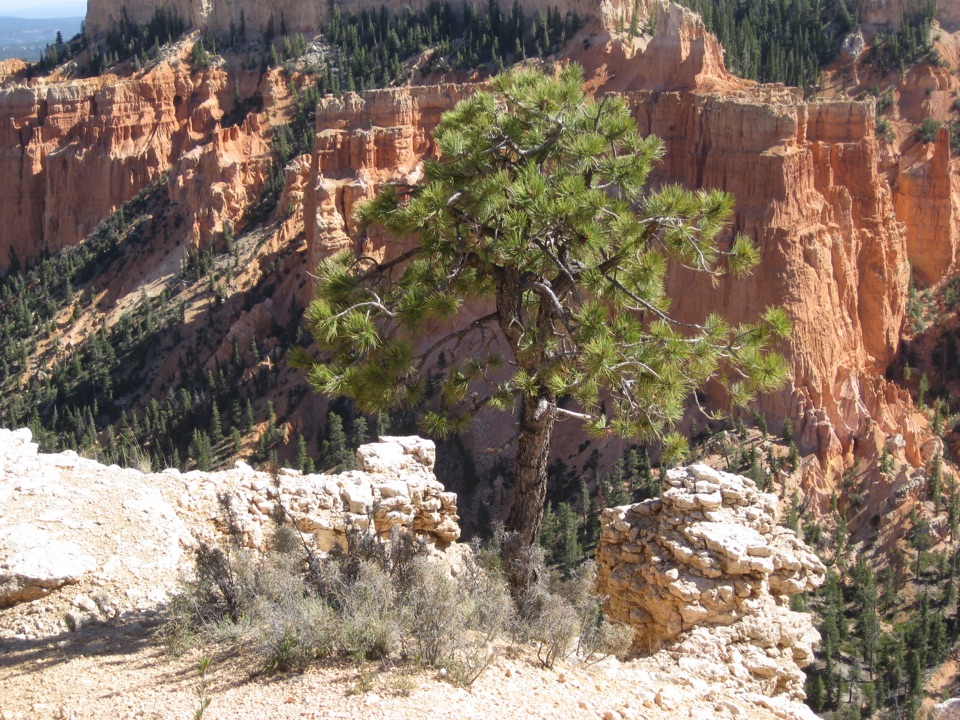
The standing dead trees are called snags. They provide habitat for woodpeckers, nuthatches, owls and small mammals, which help disperse seeds as the forest regenerates. Look for signs of new growth among the snags and surviving pines to see the change at ground level.

Wildlife

Wildlife in Bryce Canyon

All Bryce Canyon wildlife maps

Sighting maps show where each species has been reported across Bryce Canyon. Wildlife moves, so no sighting is guaranteed.

Parkwolf’s Bryce Canyon ranking

Top sights in Bryce Canyon

All 41 places
  1. 1Bryce PointSight
  2. 2Sunset PointSight
  3. 3Inspiration PointSight
  4. 4Thor’s HammerSight
  5. 5Sunrise PointSight
  6. 6Natural BridgeSight

Take Parkwolf to Bryce Canyon.

The audio tour guide for the drive, plus offline maps, trails, and wildlife heatmaps for when the signal drops.

4.7 from 8,600+ ratings

Download Parkwolf on the App StoreGet Parkwolf on Google Play